Uphill
294m
France > Occitanie > Aveyron > Grands Causses Regional Natural Park
Length
4km
Duration
2h
Elev gain
294m
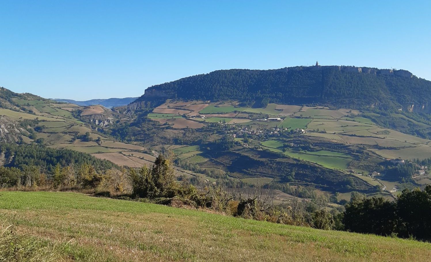
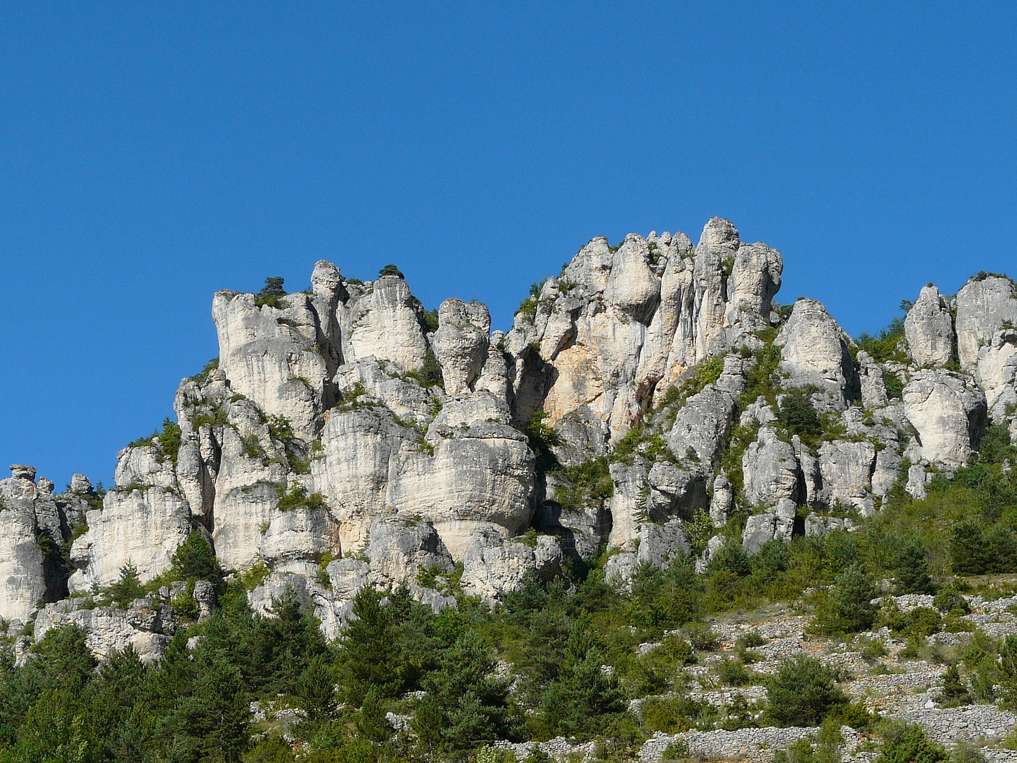
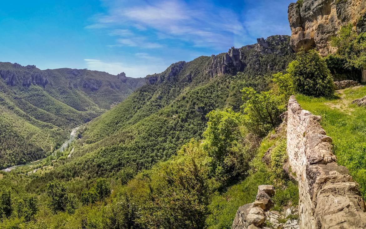
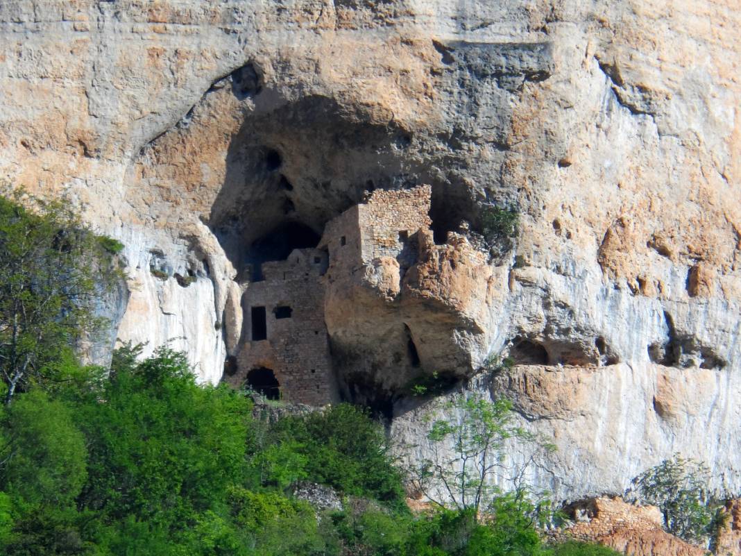
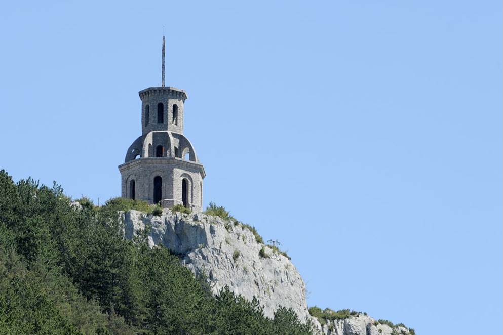
This route makes a round trip to the puech de Fontaneilles (840 m), passing by the beautiful pedestal of Fontaneilles. Magnificent view from the cliffs at the top.

Already more than 200,000 users!
Uphill
294m
Highest point
841m
Downhill
294m
Lowest point
631m
Route type
There and back
Download the map on your smartphone to save battery and rest assured to always keep access to the route, even without signal.
Includes IGN France and Swisstopo.
I indicate whether dogs are allowed or prohibited on this trail
All year
0 ratings
Also enjoy:

Already more than 200,000 users!