Uphill
327m
France > Occitanie > Aveyron > Grands Causses Regional Natural Park
Length
6km
Duration
2h30min
Elev gain
327m
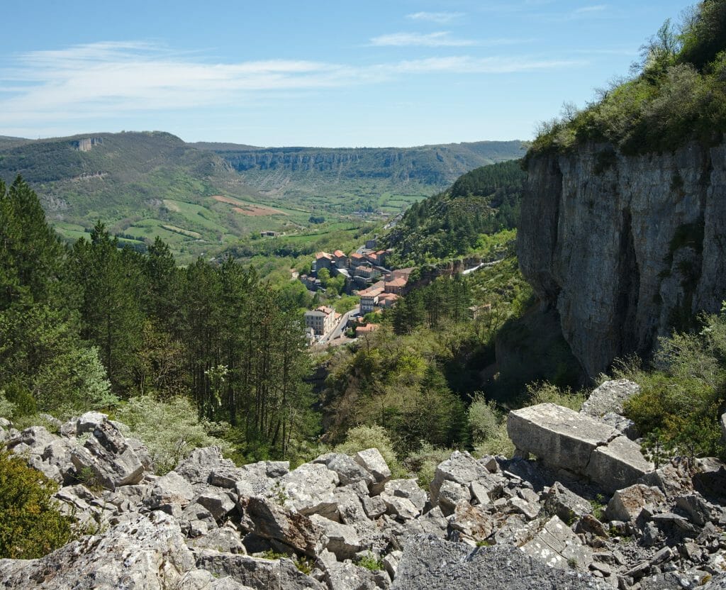
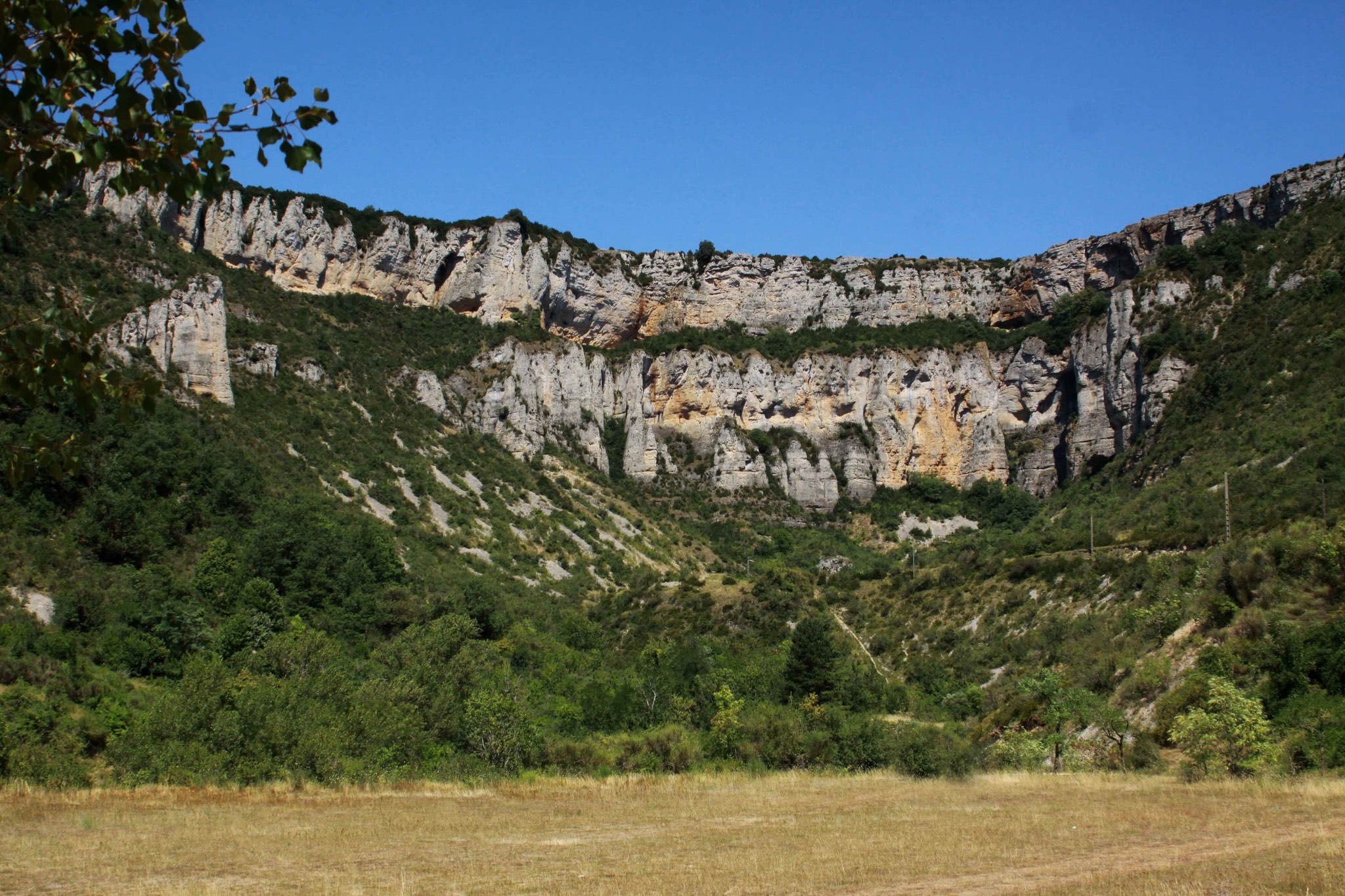
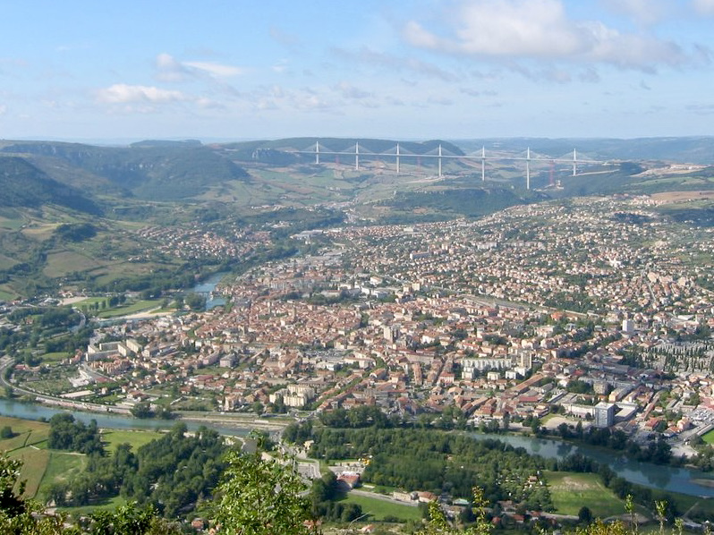
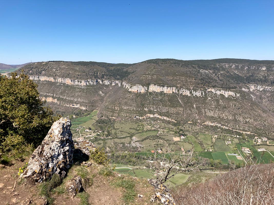
Here is a great hike near Comprégnac, between fields, woods and pastures. The trail climbs steadily and offers lovely views of the Tarn valley and its surroundings.
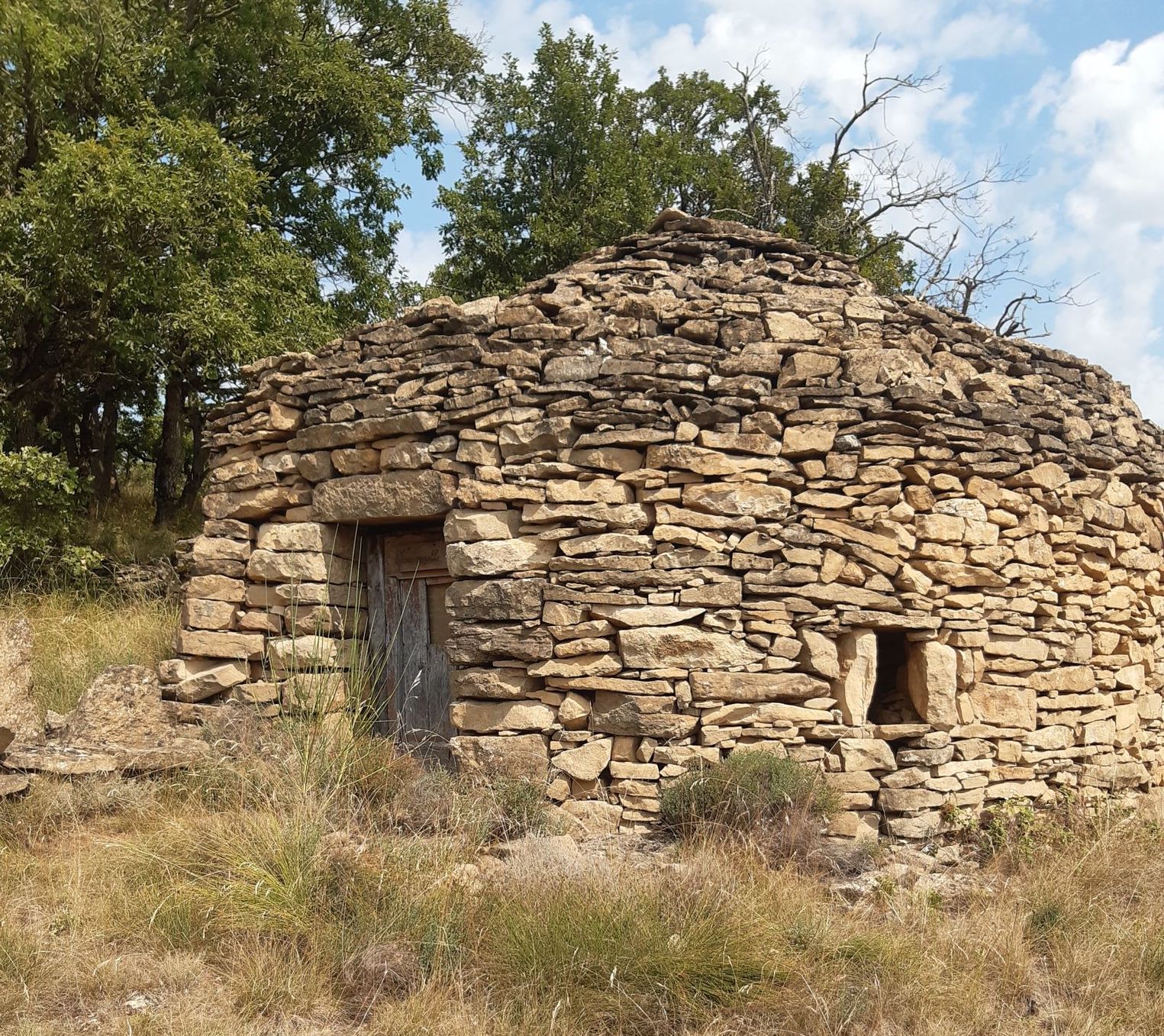
The course is also embellished with numerous cazelles, dry stone huts that once served as shelter for humans and animals during bad weather.

Already more than 200,000 users!
Uphill
327m
Highest point
661m
Downhill
327m
Lowest point
338m
Route type
Loop
Download the map on your smartphone to save battery and rest assured to always keep access to the route, even without signal.
Includes IGN France and Swisstopo.
I indicate whether dogs are allowed or prohibited on this trail
All year
0 ratings
Also enjoy:

Already more than 200,000 users!