Uphill
74m
Length
8km
Duration
2h
Elev gain
74m
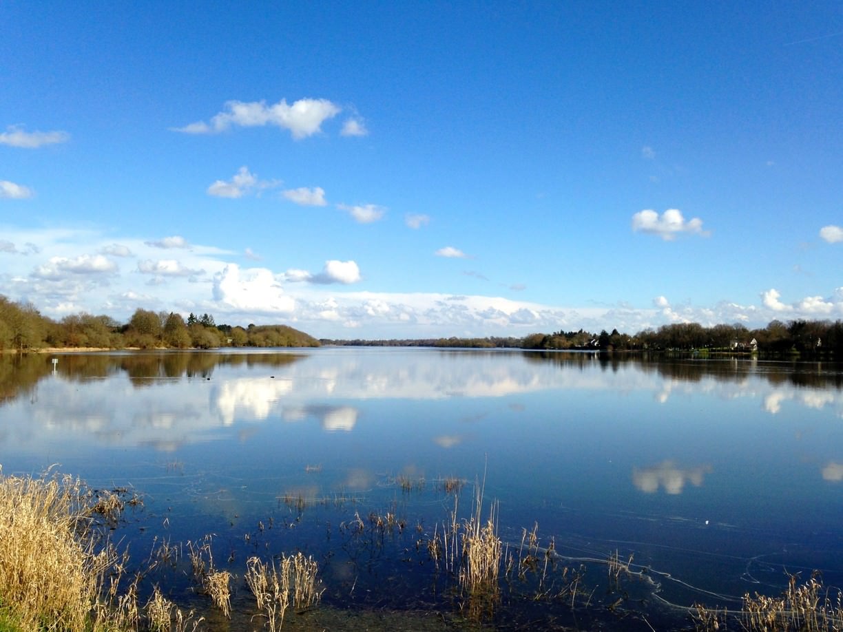
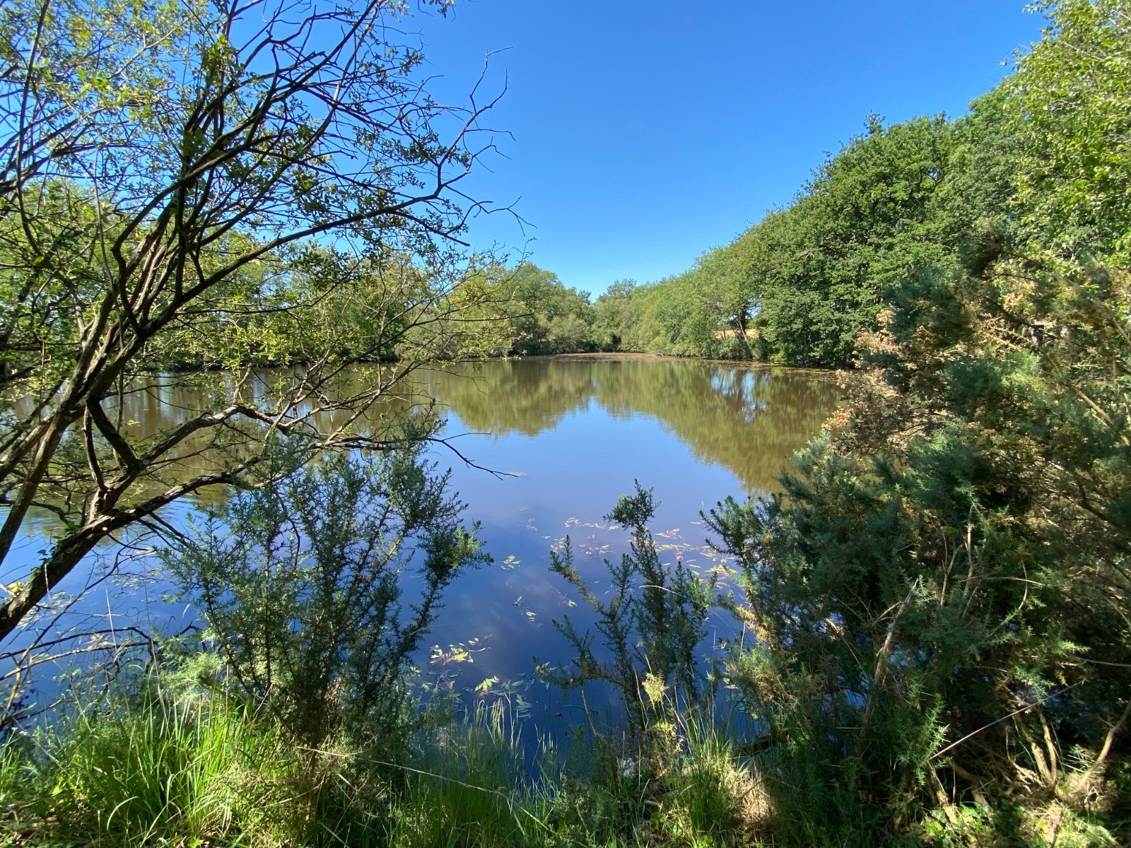
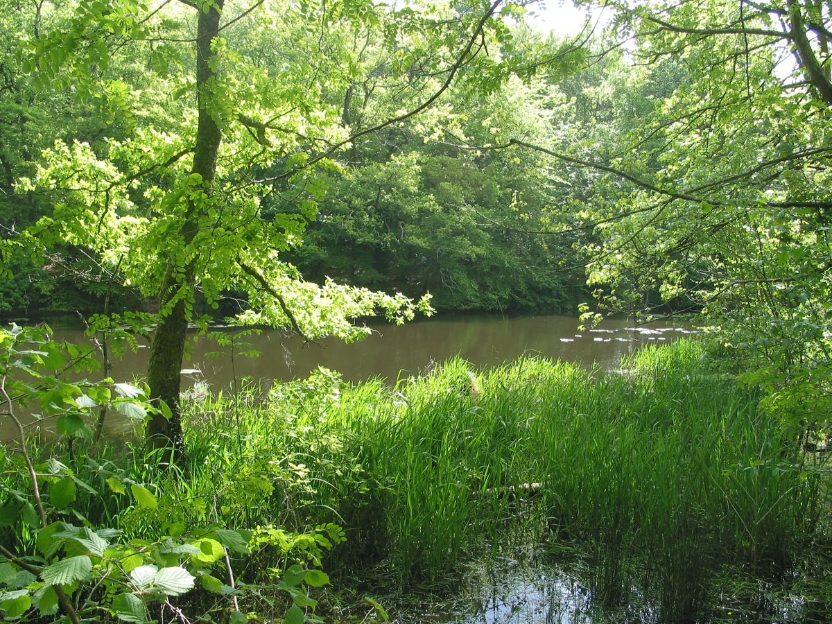
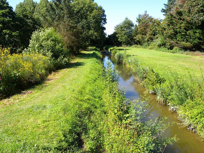
This trail runs along a canal supplying the Vioreau pond, in the heart of the Erdre valley. It allows you to admire the aqueducts, numerous stone bridges, and the Château de la Lucinière.

Already more than 200,000 users!
Uphill
74m
Highest point
48m
Downhill
74m
Lowest point
16m
Route type
Loop
Download the map on your smartphone to save battery and rest assured to always keep access to the route, even without signal.
Includes IGN France and Swisstopo.
I indicate whether dogs are allowed or prohibited on this trail
All year
0 ratings
Also enjoy:

Already more than 200,000 users!