Uphill
112m
Length
6km
Duration
2h
Elev gain
112m
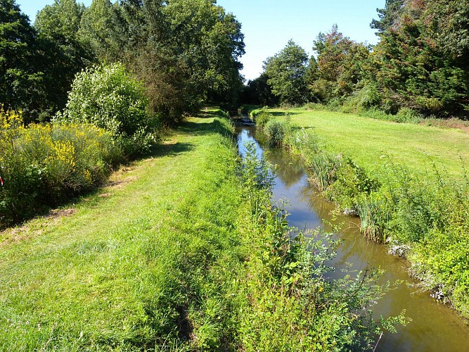
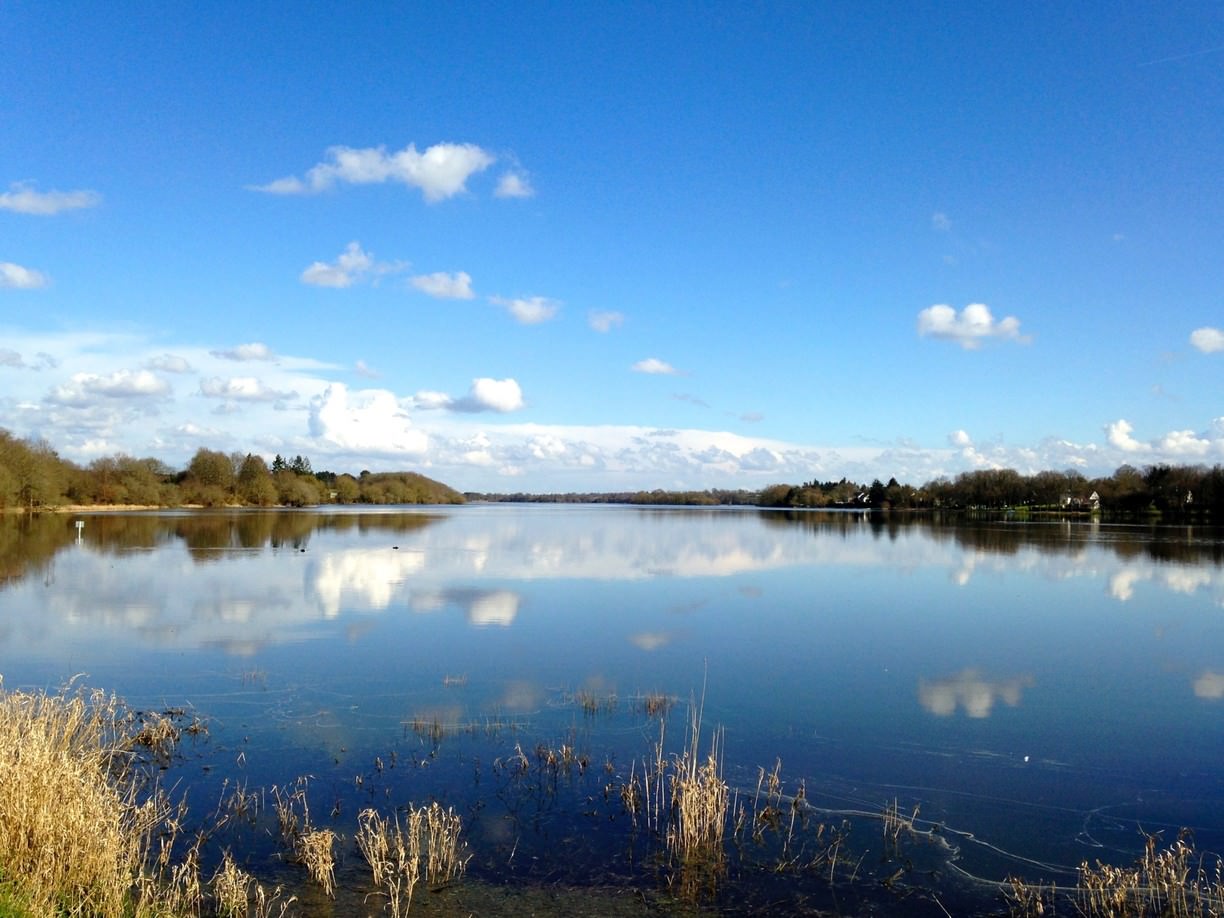
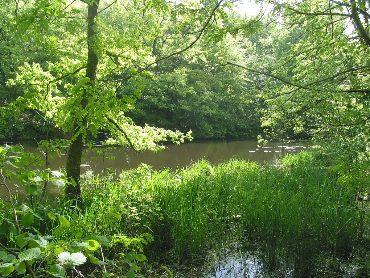
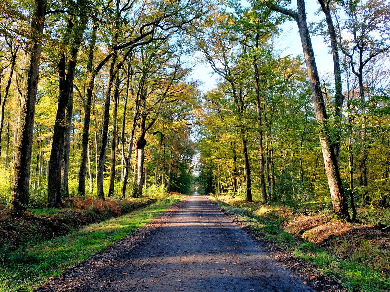
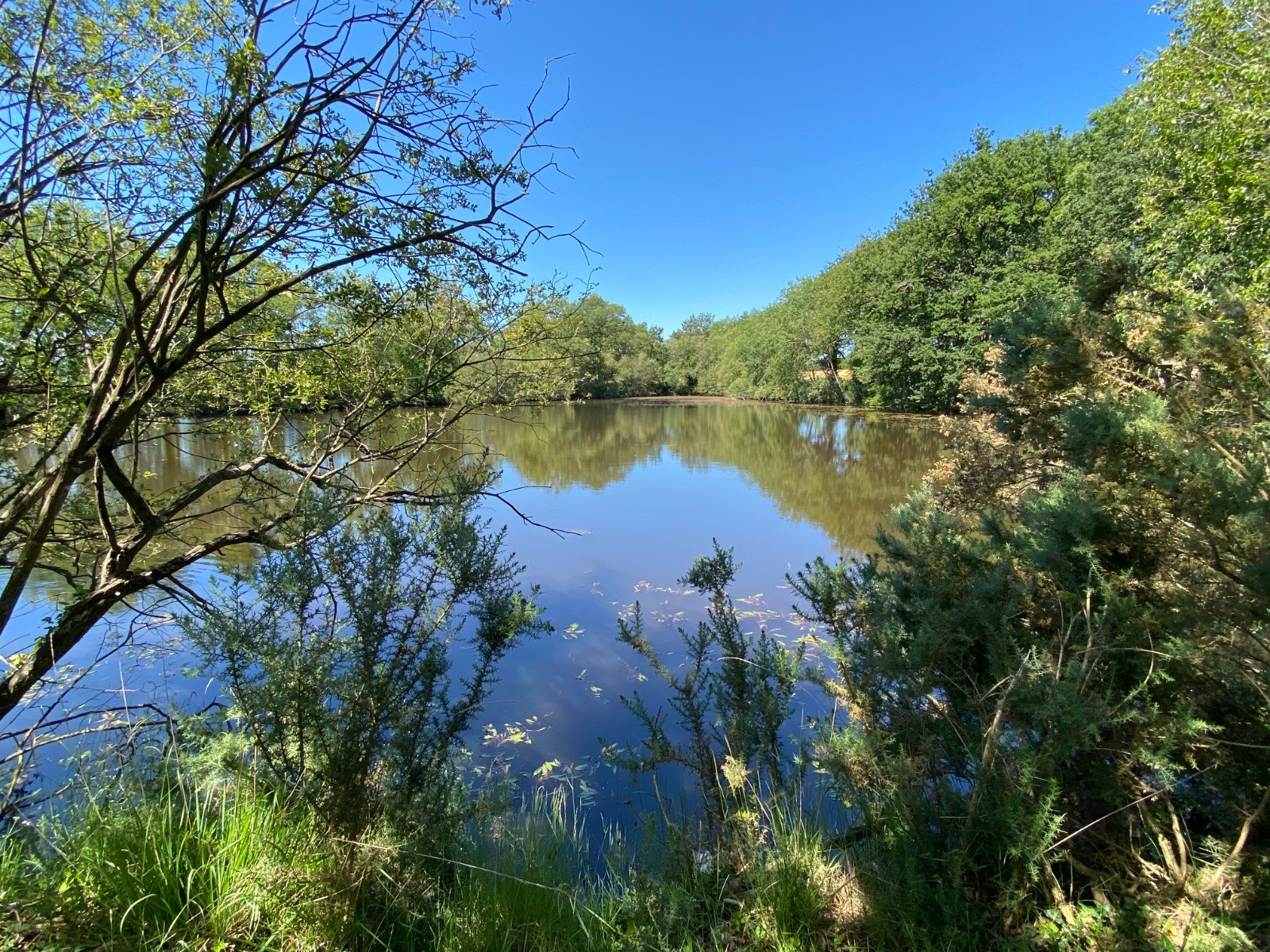
Trail first going around the water of the Mine, before rising to the top of the Abbaretz slag heap. Nice view of the surroundings.

Already more than 200,000 users!
Uphill
112m
Highest point
109m
Downhill
112m
Lowest point
30m
Route type
Loop
Download the map on your smartphone to save battery and rest assured to always keep access to the route, even without signal.
Includes IGN France and Swisstopo.
I indicate whether dogs are allowed or prohibited on this trail
All year
0 ratings
Also enjoy:

Already more than 200,000 users!