Uphill
45m
Length
10km
Duration
2h30min
Elev gain
45m
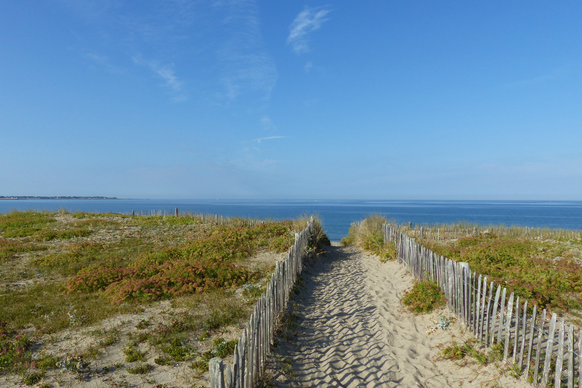
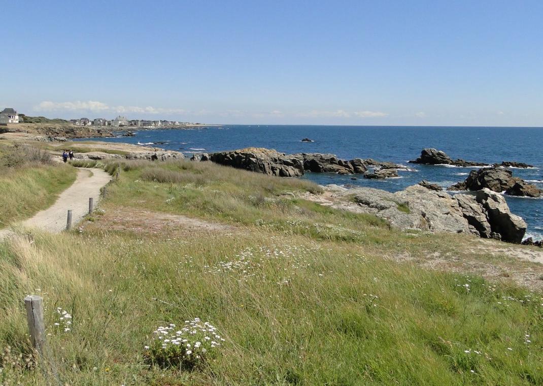
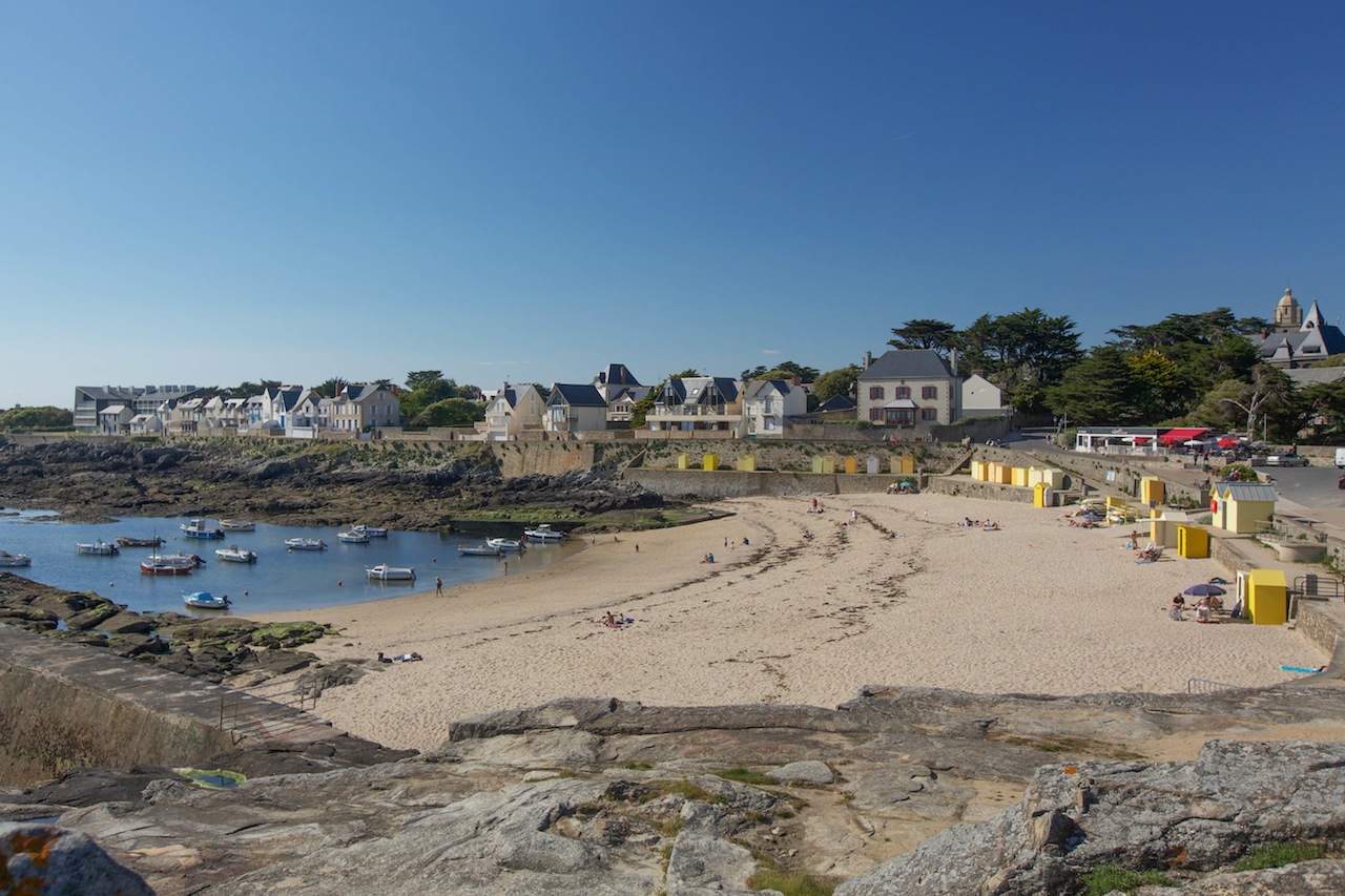
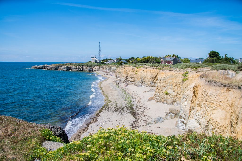
From Piriac-sur-Mer, here is an easy walk that allows you to discover the small town and the surrounding coast. The route takes the coastal footpath and alternates between sandy beaches and steeper rocks.
Be careful though: at high tide, the first kilometer cannot be done on the beach. It is then possible to take small streets to reach the semaphore.

Already more than 200,000 users!
Uphill
45m
Highest point
28m
Downhill
45m
Lowest point
0m
Route type
Loop
Download the map on your smartphone to save battery and rest assured to always keep access to the route, even without signal.
Includes IGN France and Swisstopo.
I indicate whether dogs are allowed or prohibited on this trail
All year
1 rating
Après s’être éloigné du centre de Piriac, la partie au bord de l’eau est super sympa, avec quelques falaises. Lerat est aussi un petit port très mignon.
J’ai préféré faire demi-tour pour refaire la partie côtière, et éviter la partie dans les terres.
Also enjoy:

Already more than 200,000 users!