Uphill
27m
Length
22km
Duration
5h30min
Elev gain
27m
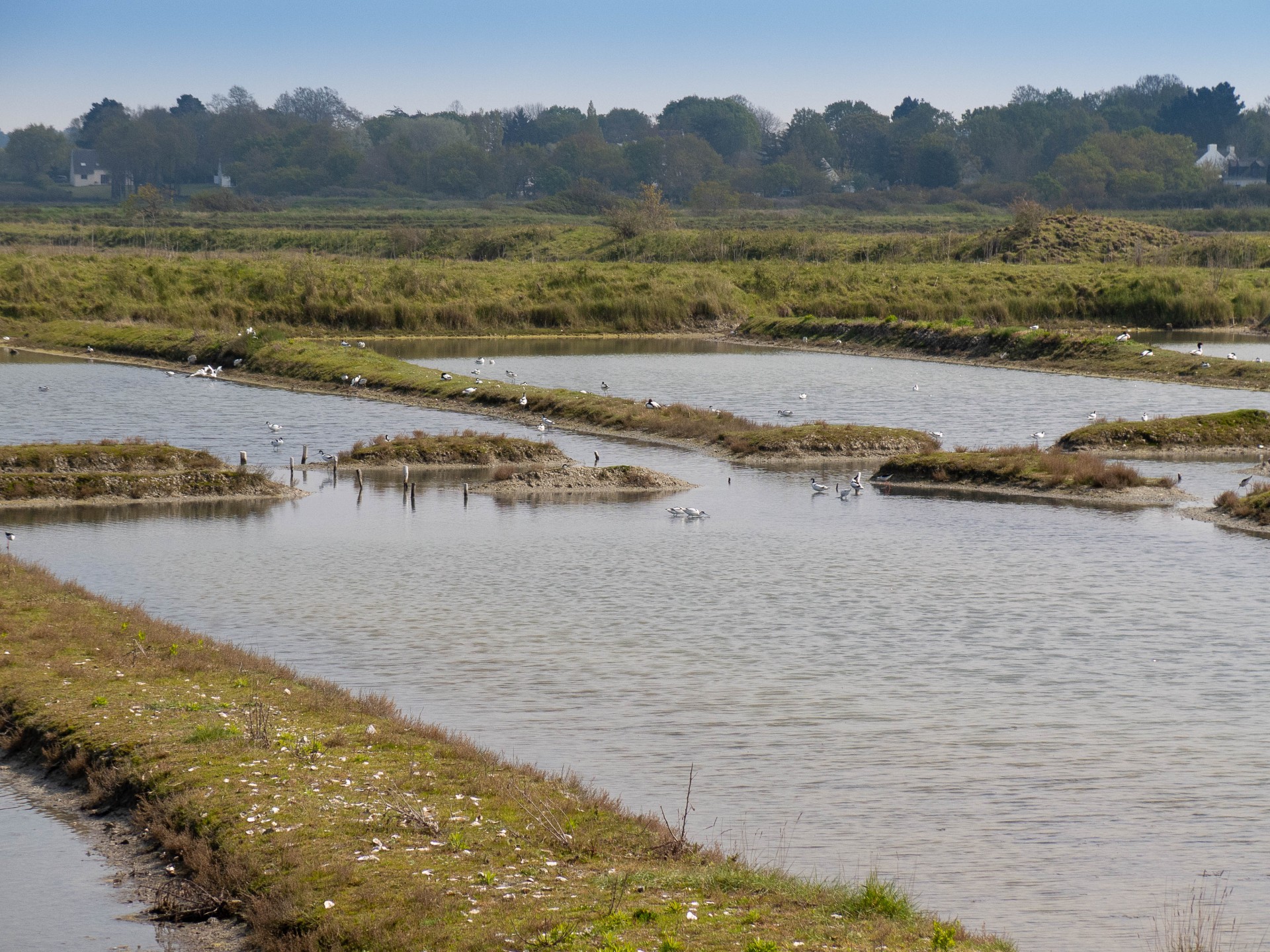
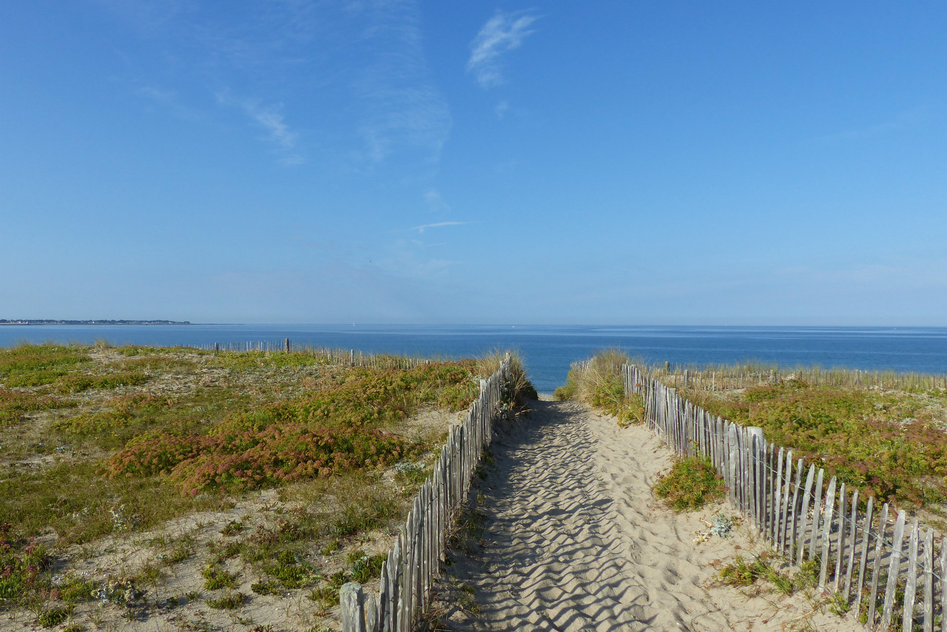
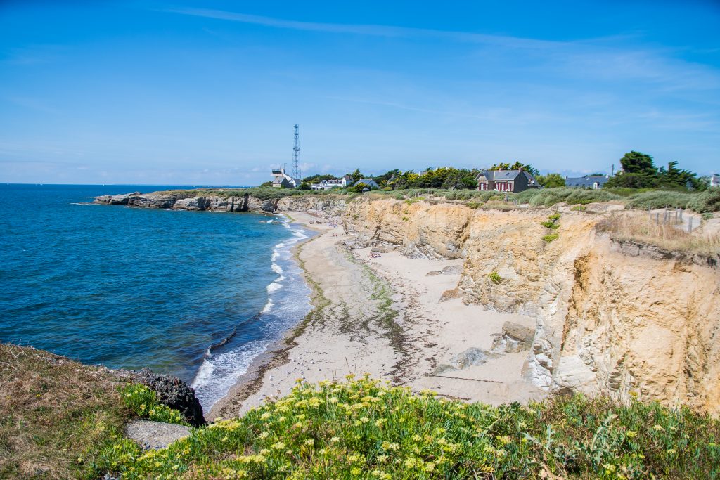
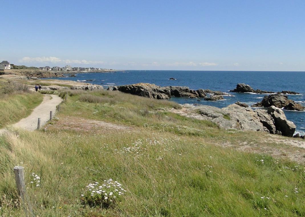
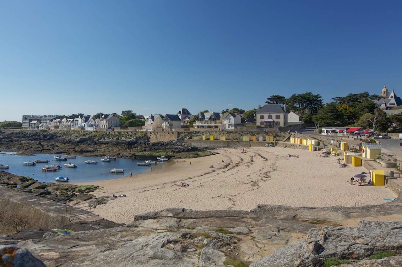
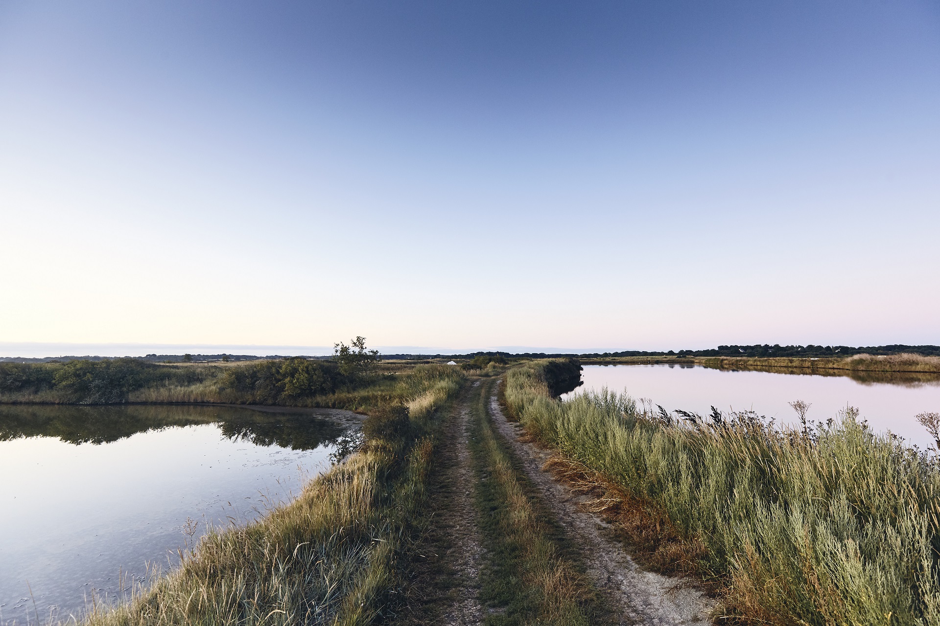
Here is a nice route around Mesquer. The trail varies between countryside, coast, beaches and small villages. A stroll through beautiful seascapes.
Note, however, several passages on the road.

Already more than 200,000 users!
Uphill
27m
Highest point
24m
Downhill
27m
Lowest point
4m
Route type
Loop
Download the map on your smartphone to save battery and rest assured to always keep access to the route, even without signal.
Includes IGN France and Swisstopo.
I indicate whether dogs are allowed or prohibited on this trail
All year
1 rating
Also enjoy:

Already more than 200,000 users!