Uphill
39m
Length
8km
Duration
2h
Elev gain
39m
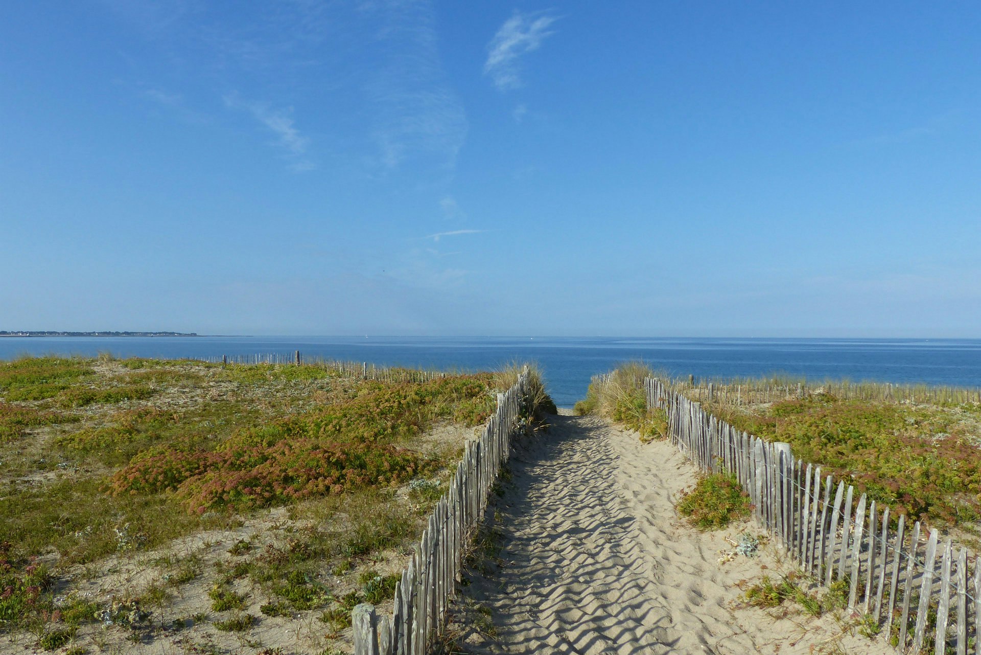
This walk allows you to discover the Pen Bron peninsula. The trail first crosses a forest, before going along the beach through the dunes, then going around the point. Lovely views of Le Croisic and the salt marshes of Guérande.

Already more than 200,000 users!
Uphill
39m
Highest point
24m
Downhill
39m
Lowest point
3m
Route type
Loop
Download the map on your smartphone to save battery and rest assured to always keep access to the route, even without signal.
Includes IGN France and Swisstopo.
I indicate whether dogs are allowed or prohibited on this trail
All year
4 ratings
Balade sympa dans une des rares forêts du coin. L’extrémité sud de l’itinéraire permet de longer un ancien sanatorium magnifique, et de profiter d’une belle vue sur le Croisic. Aussi quelques points de vue sur les marais salants.
Also enjoy:

Already more than 200,000 users!


