Uphill
132m
Length
7km
Duration
2h
Elev gain
132m
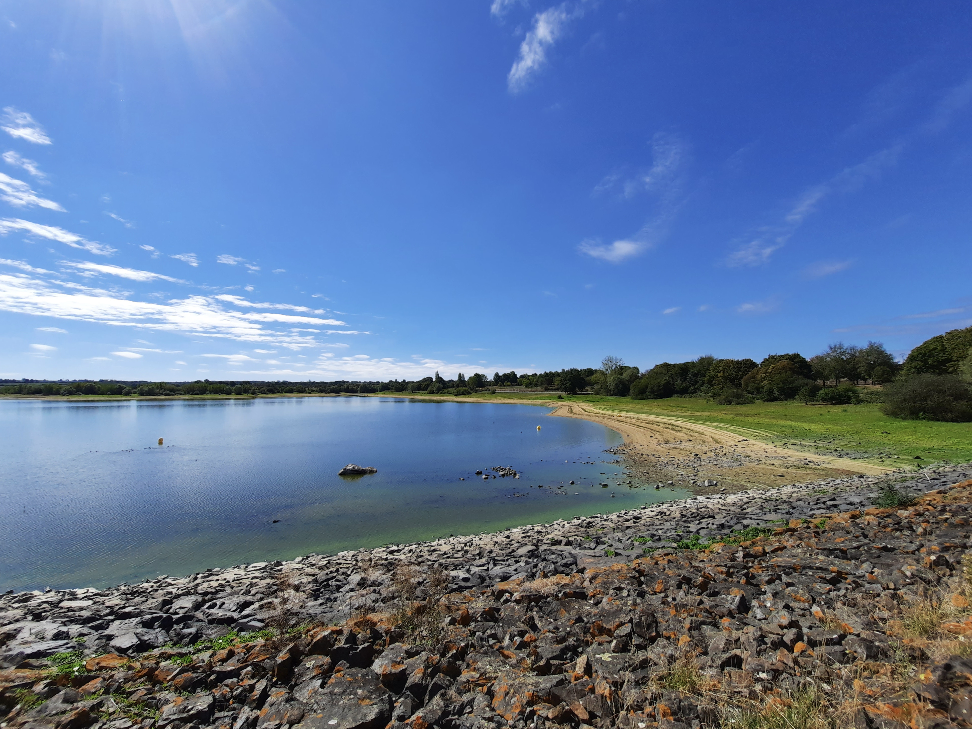
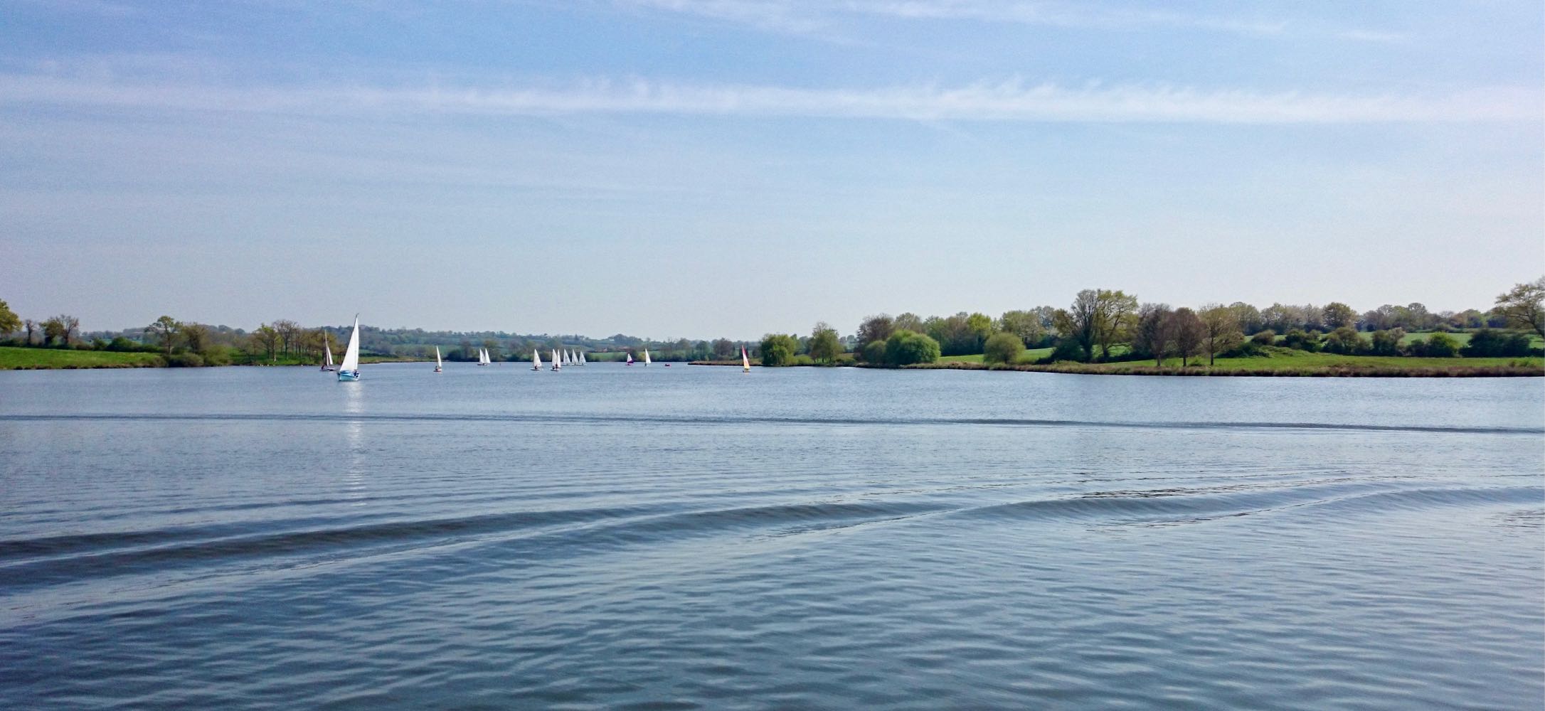
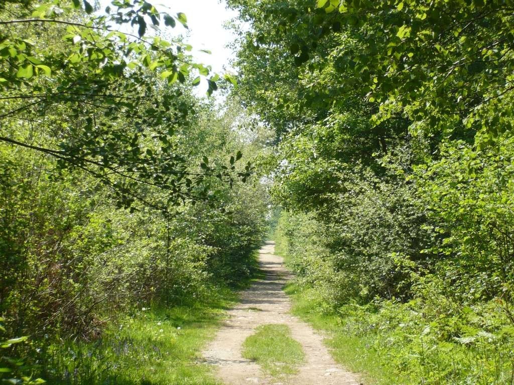
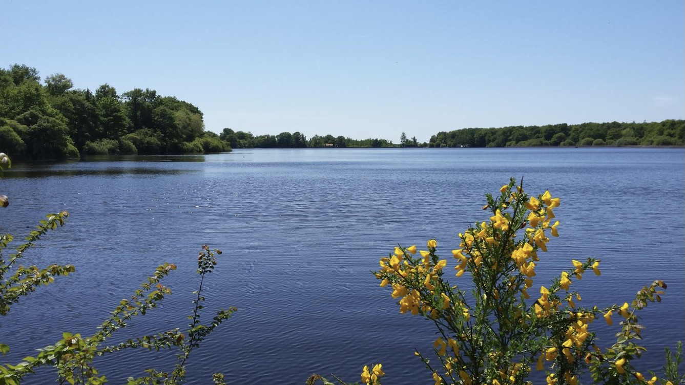
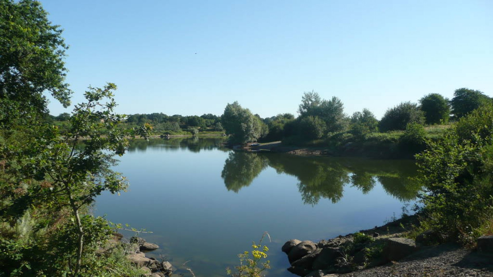
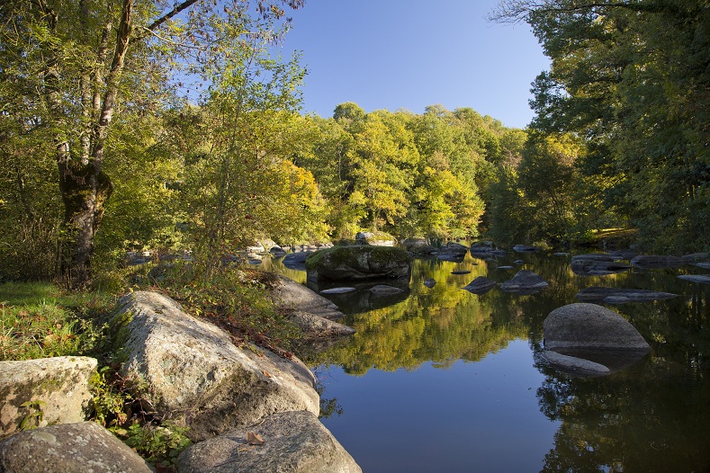
Starting from the Pinsonnière and Karuns ponds, in Saint-Laurent-sur-Sèvre, this path winds through the Bois de la Barbinière and the banks of the Sèvre nantaise. A bucolic setting, which also allows you to admire the Barbin viaduct.

Already more than 200,000 users!
Uphill
132m
Highest point
158m
Downhill
132m
Lowest point
102m
Route type
Loop
Download the map on your smartphone to save battery and rest assured to always keep access to the route, even without signal.
Includes IGN France and Swisstopo.
I indicate whether dogs are allowed or prohibited on this trail
All year
0 ratings
Also enjoy:

Already more than 200,000 users!