Uphill
56m
Length
6km
Duration
2h
Elev gain
56m
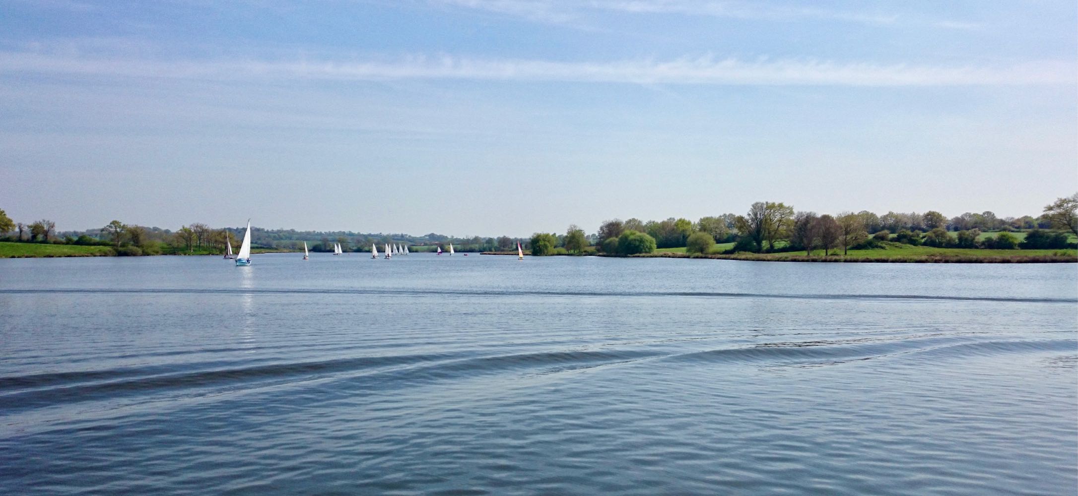
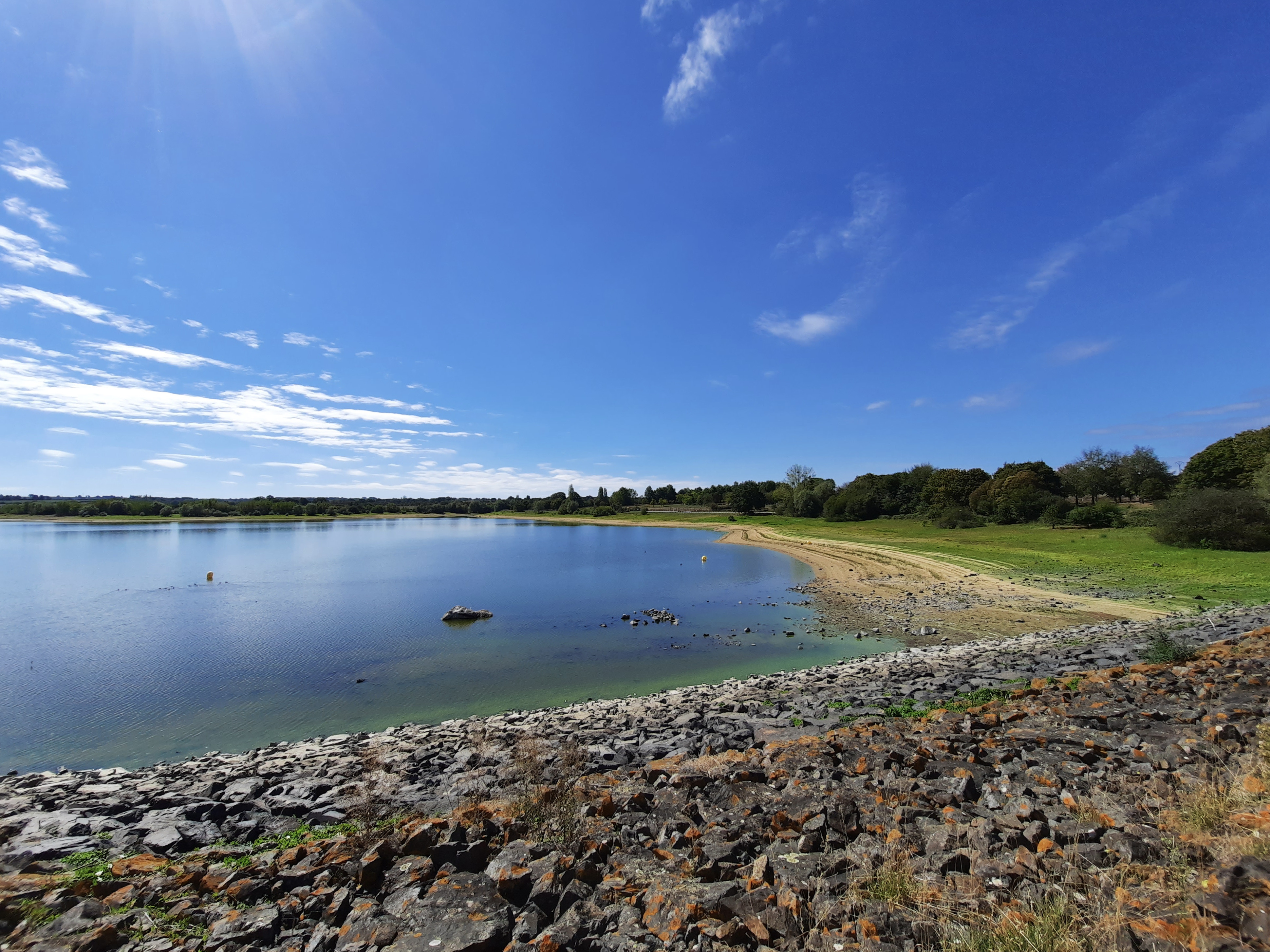
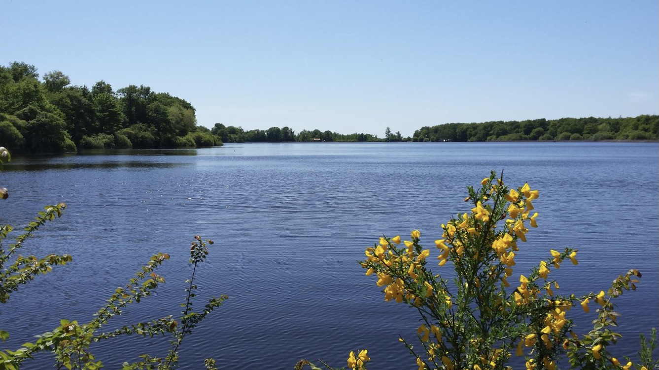
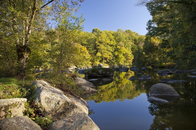
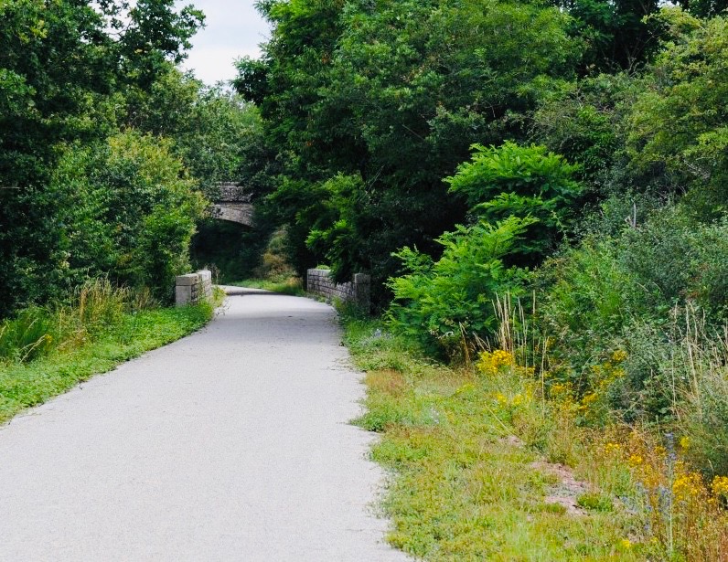
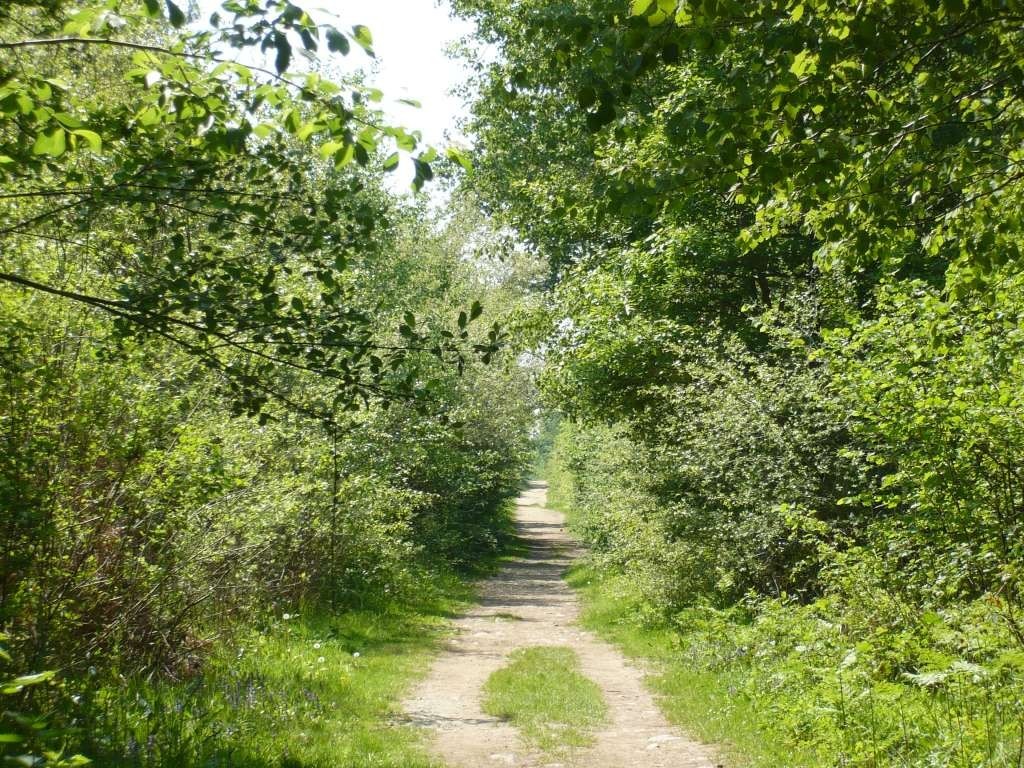
Departing from the Noues pond, this walk allows you to discover the Nuaillé forest, near Cholet. Note a short passage on the road.

Already more than 200,000 users!
Uphill
56m
Highest point
175m
Downhill
56m
Lowest point
110m
Route type
Loop
Download the map on your smartphone to save battery and rest assured to always keep access to the route, even without signal.
Includes IGN France and Swisstopo.
I indicate whether dogs are allowed or prohibited on this trail
All year
0 ratings
Also enjoy:

Already more than 200,000 users!