Uphill
19m
Length
4km
Duration
1h
Elev gain
19m
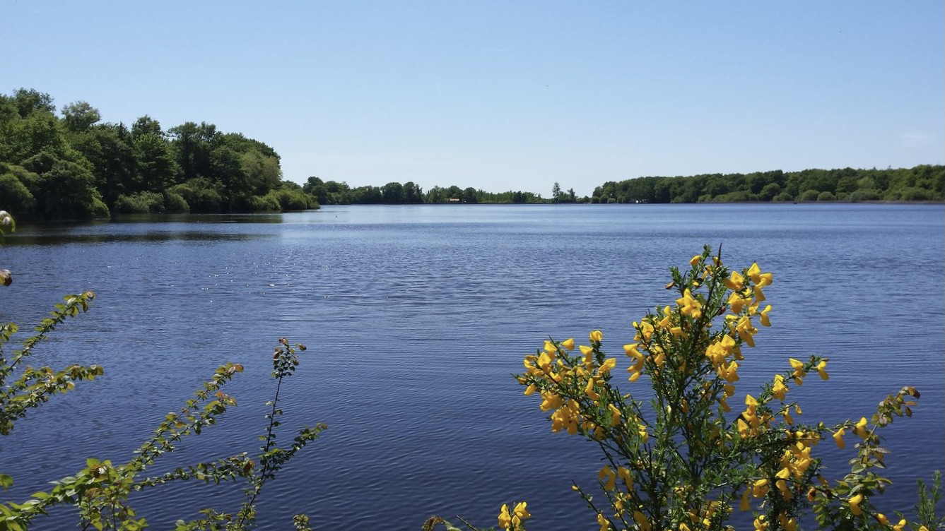
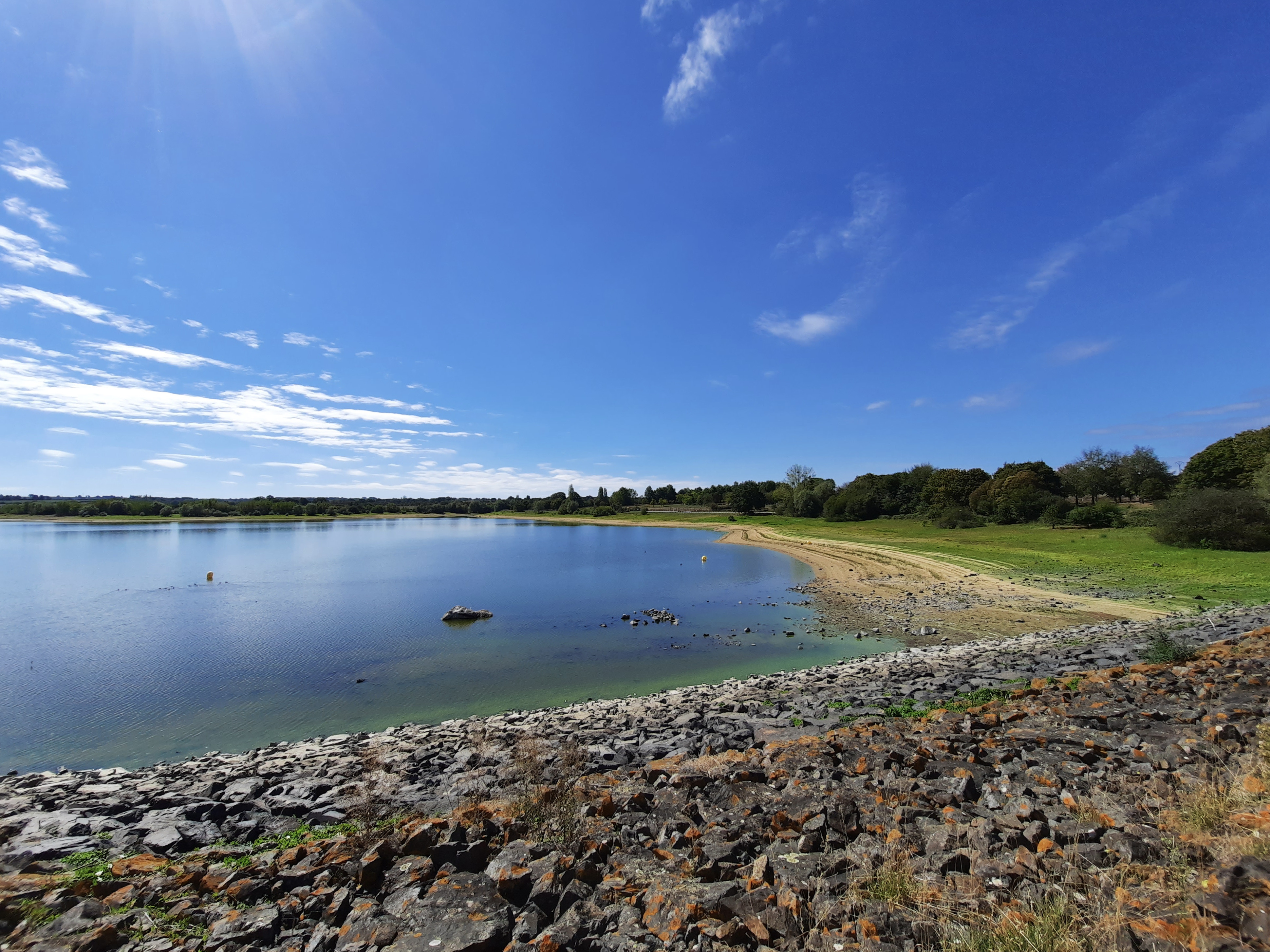
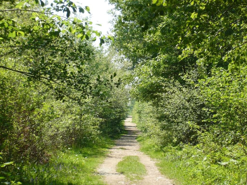
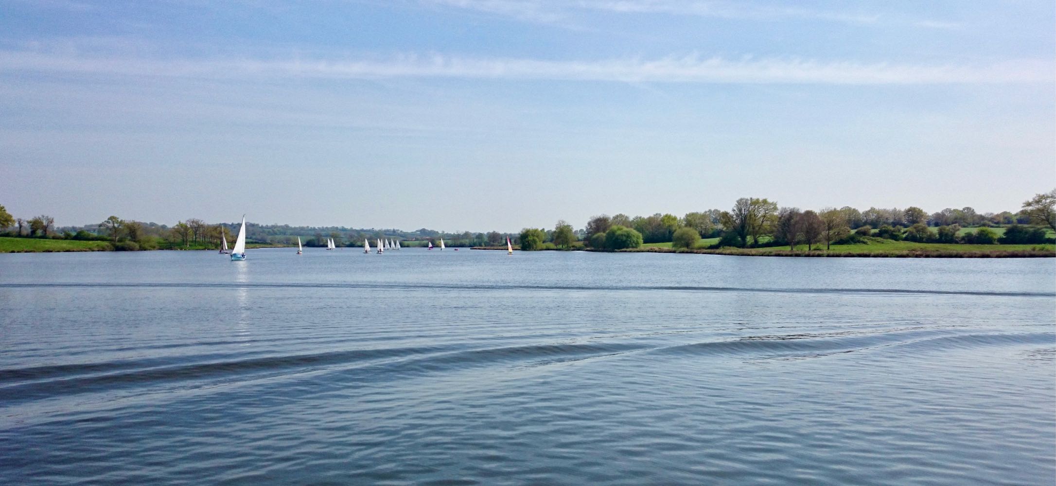
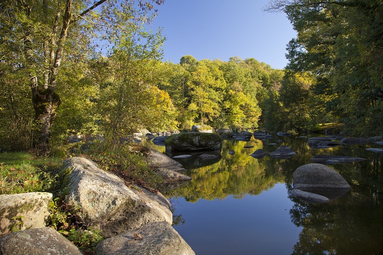
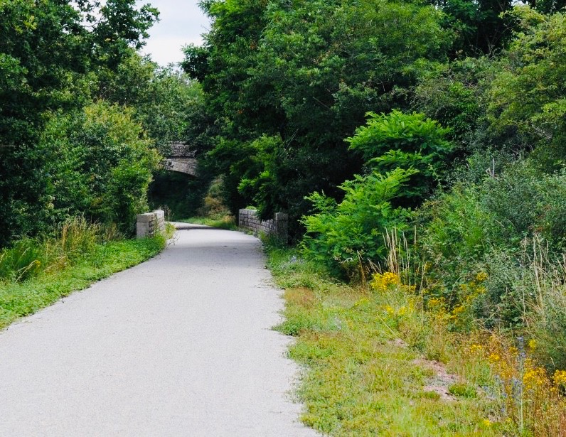
Here is a nice little walk near Nueil-les-Aubiers. The first part of the route is done on the banks of the Scie, while the second part takes a greenway to return to the starting point.

Already more than 200,000 users!
Uphill
19m
Highest point
129m
Downhill
19m
Lowest point
100m
Route type
Loop
Download the map on your smartphone to save battery and rest assured to always keep access to the route, even without signal.
Includes IGN France and Swisstopo.
I indicate whether dogs are allowed or prohibited on this trail
All year
0 ratings
Also enjoy:

Already more than 200,000 users!