Uphill
167m
Length
11km
Duration
3h
Elev gain
167m
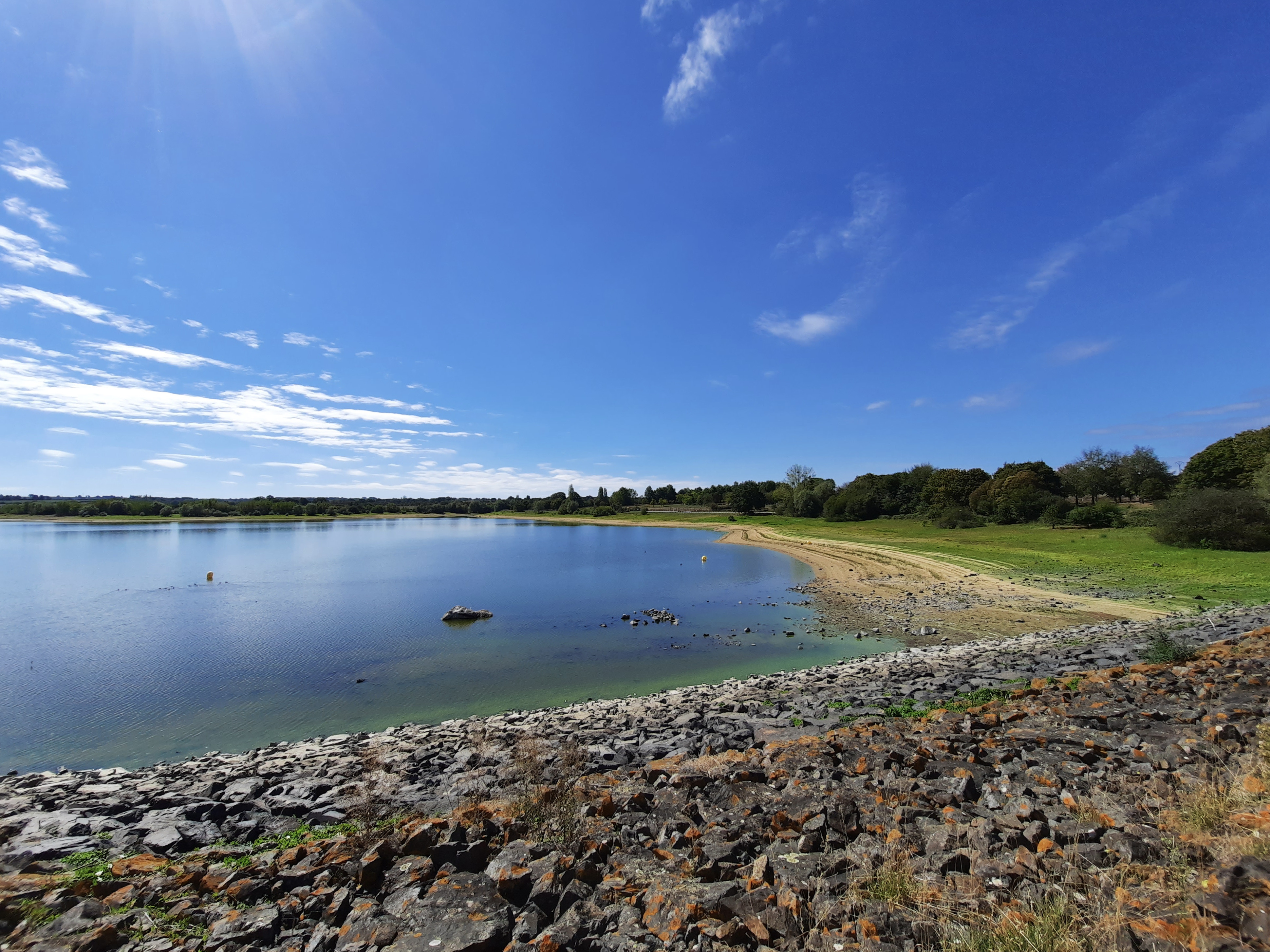
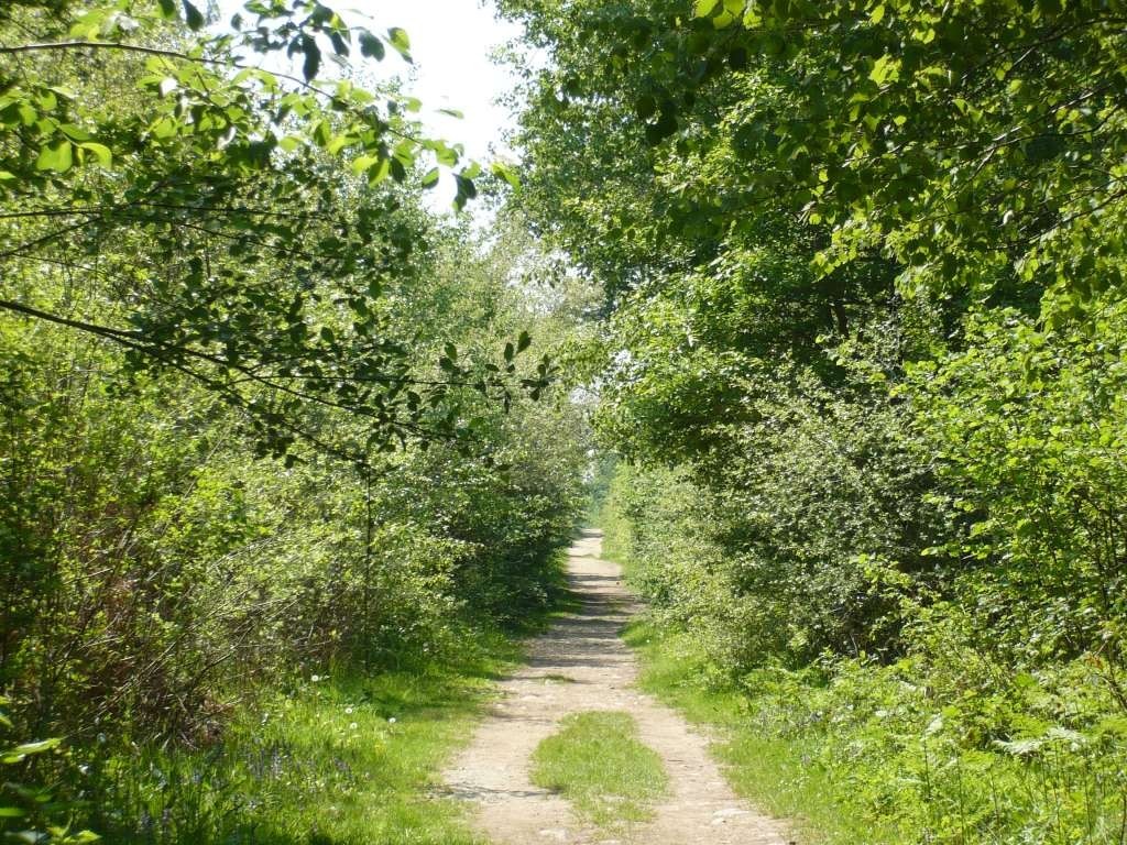
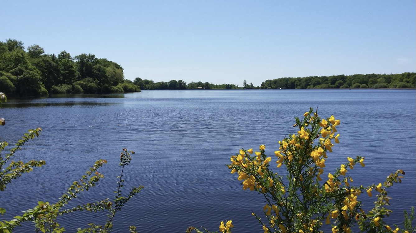
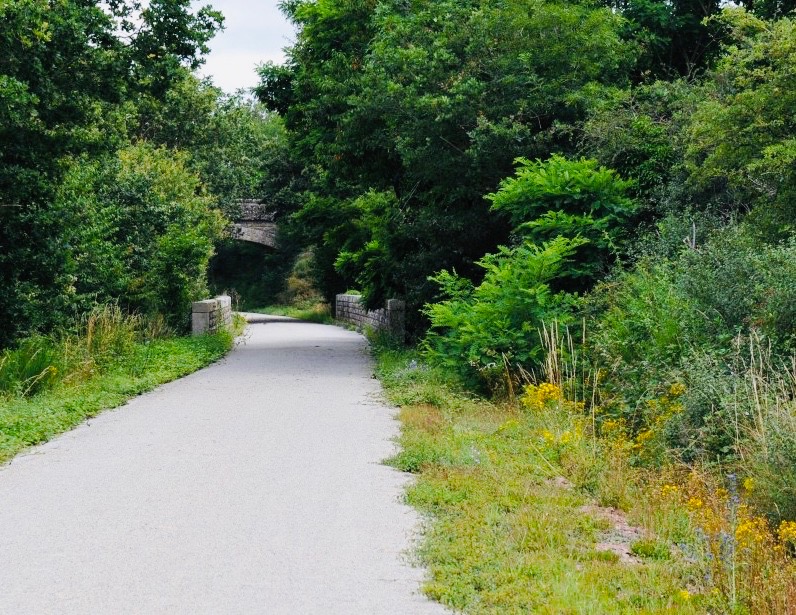
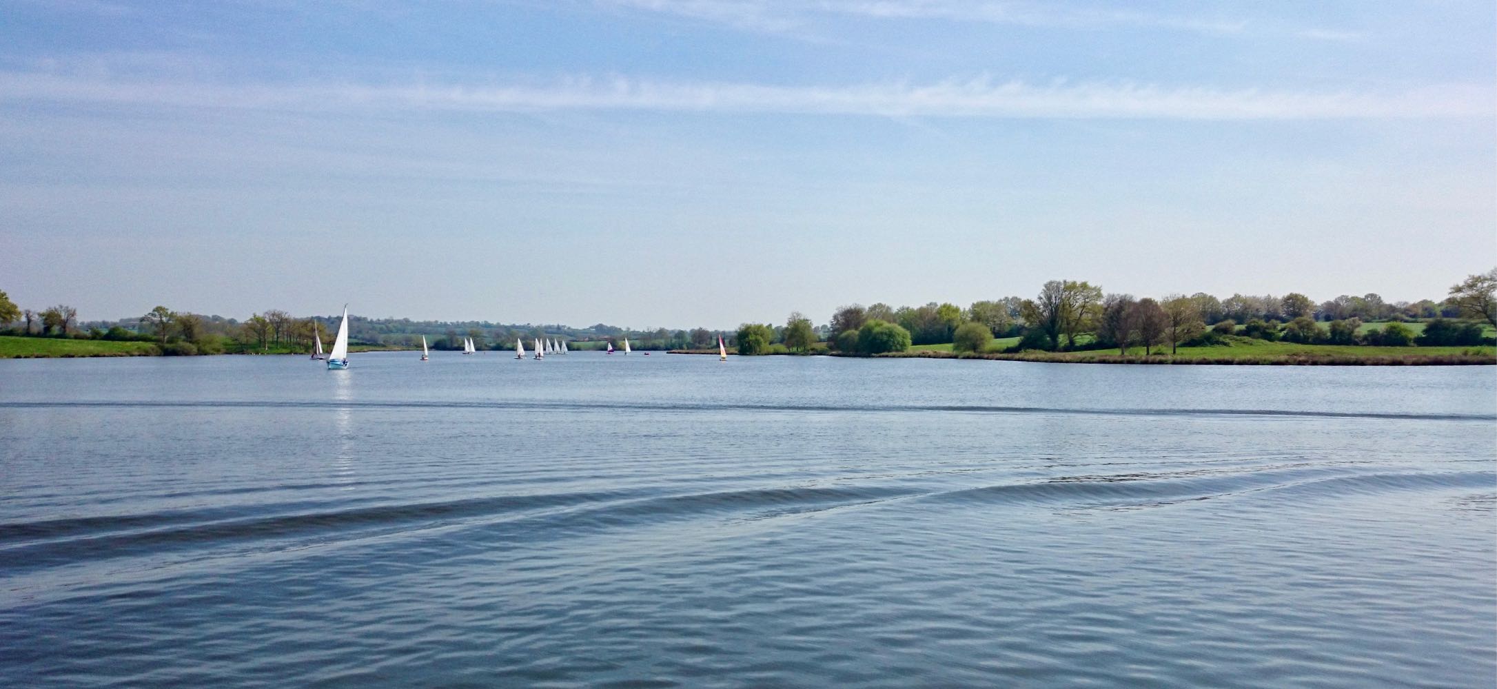
Stroll around Lake Ribou, an artificial body of water bordered by a leisure center. The path alternates between fields and more wooded areas.

Already more than 200,000 users!
Uphill
167m
Highest point
113m
Downhill
167m
Lowest point
64m
Route type
Loop
Download the map on your smartphone to save battery and rest assured to always keep access to the route, even without signal.
Includes IGN France and Swisstopo.
I indicate whether dogs are allowed or prohibited on this trail
All year
0 ratings
Also enjoy:

Already more than 200,000 users!