Uphill
529m
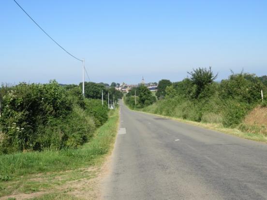
France > Pays de la Loire > Sarthe > Normandie-Maine Nature Park
Length
19km
Duration
6h
Elev gain
529m
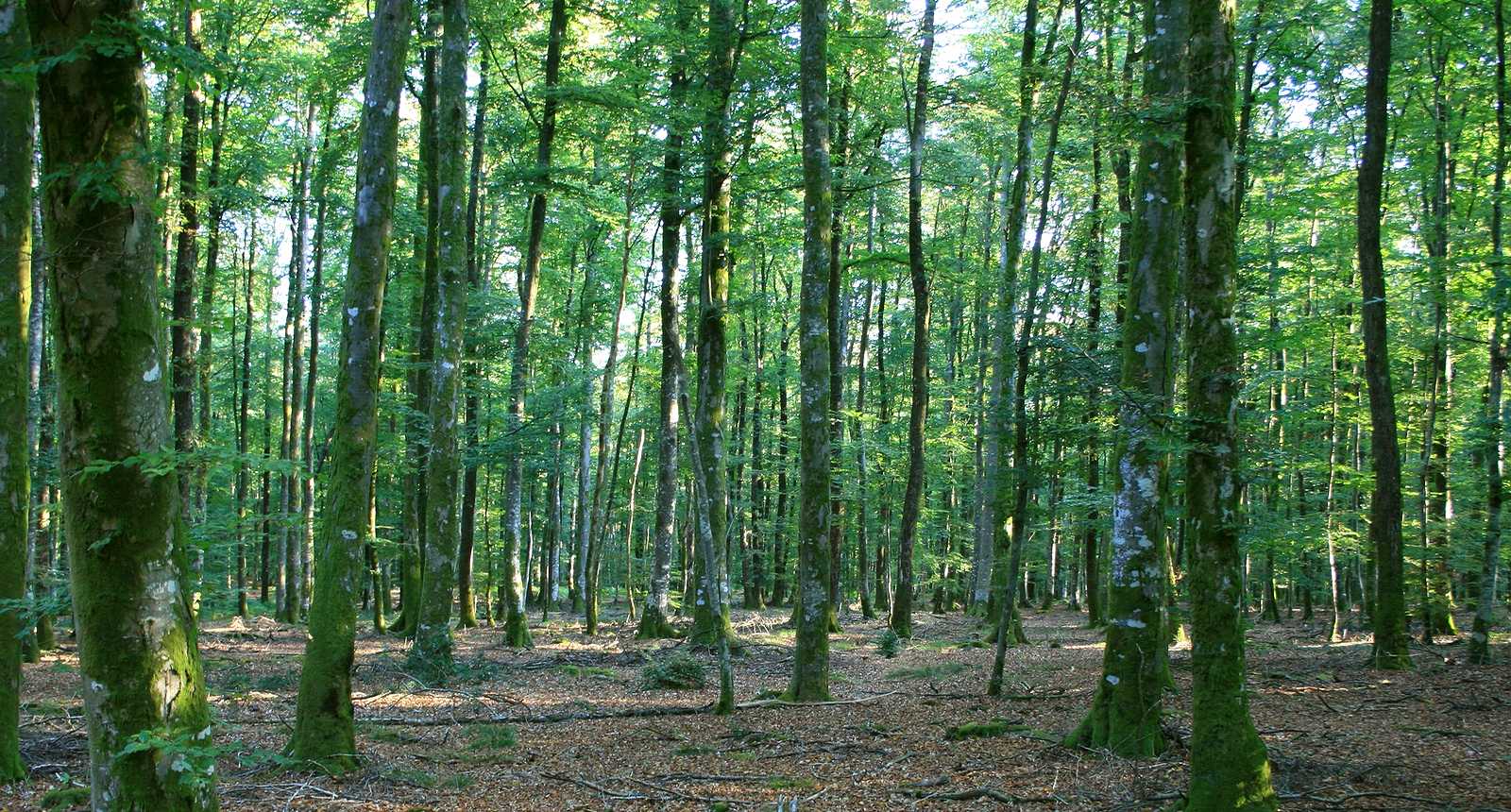
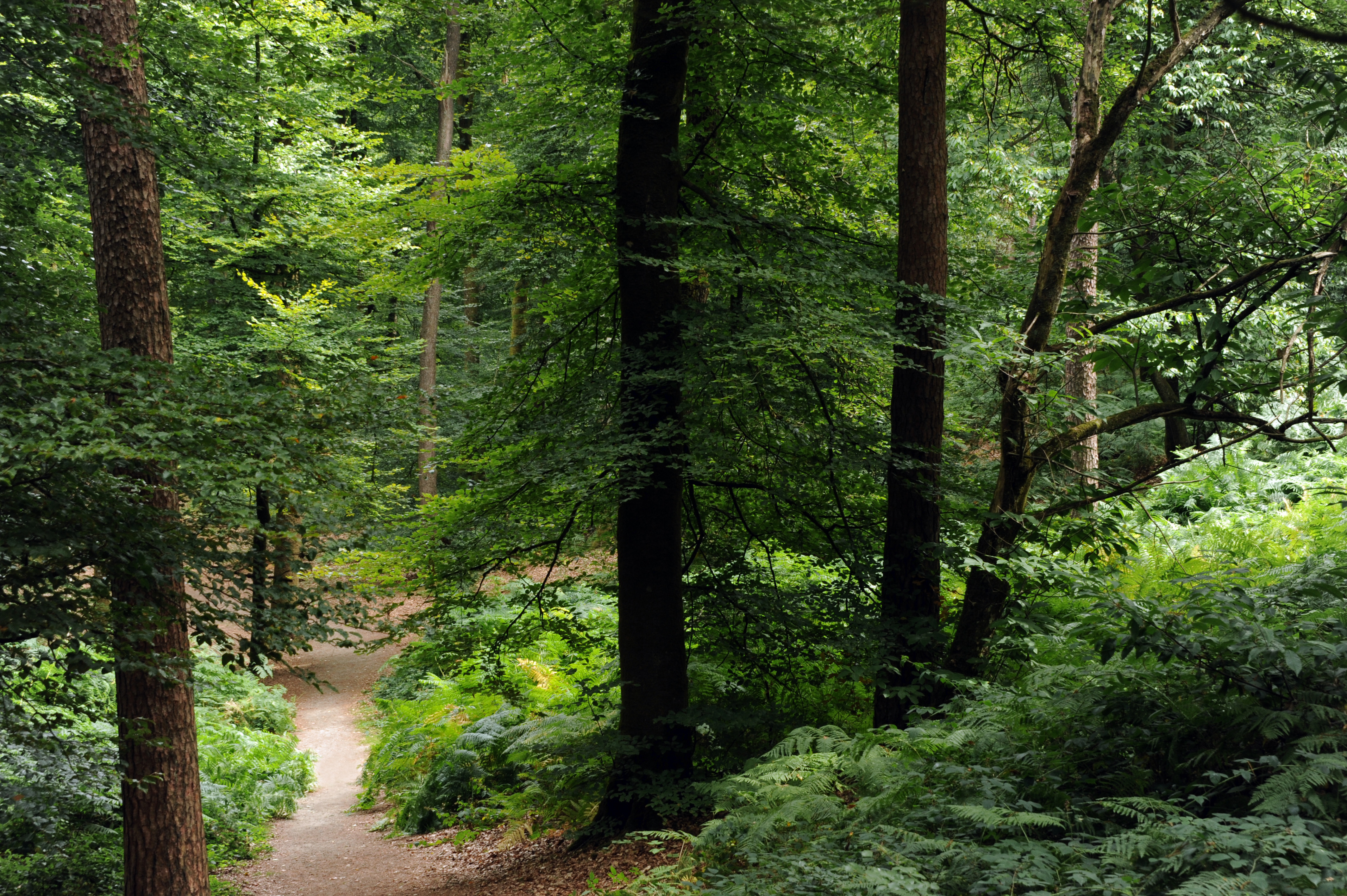
Sporty hike from Neufchâtel-en-Saosnois. The route takes place in the forest and leads to the belvedere of Perseigne, the highest point of the Sarthe where the view is superb. Note, however, that there is a charge for going up there, and that you should check the opening hours.
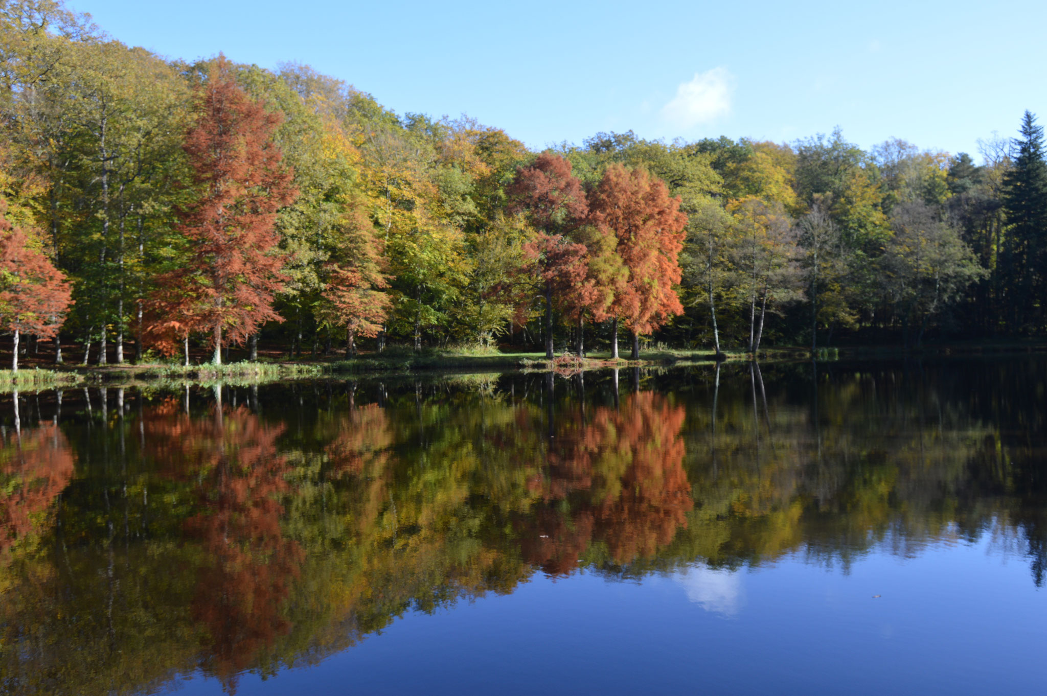
The return to the starting point then follows the Vallée d'Enfer.

Already more than 200,000 users!
Uphill
529m
Highest point
369m
Downhill
529m
Lowest point
146m
Route type
Loop
Download the map on your smartphone to save battery and rest assured to always keep access to the route, even without signal.
Includes IGN France and Swisstopo.
I indicate whether dogs are allowed or prohibited on this trail
All year
2 ratings
Also enjoy:

Already more than 200,000 users!