Uphill
336m
Length
10km
Duration
3h30min
Elev gain
336m
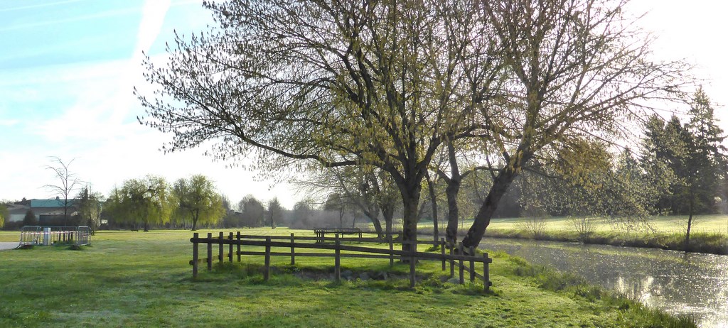
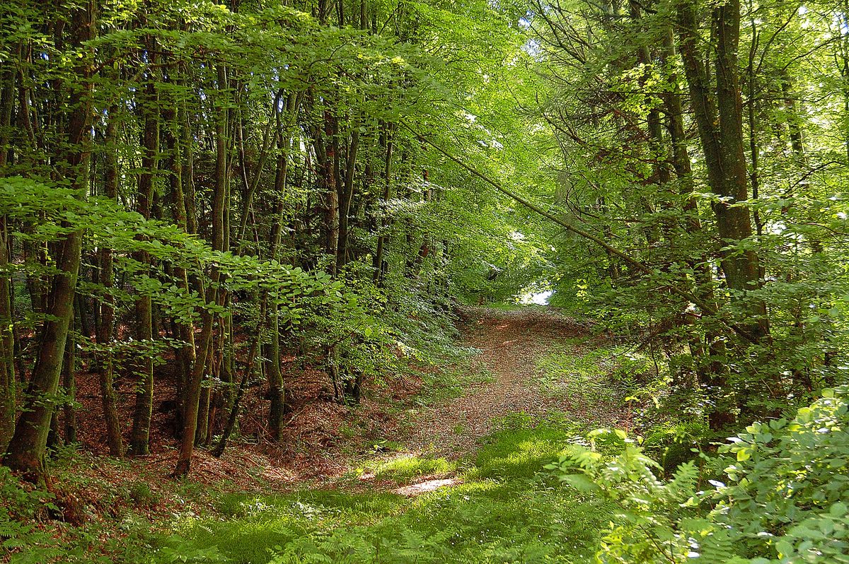
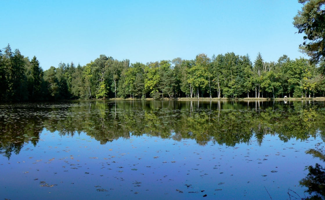
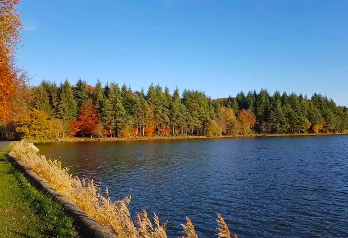
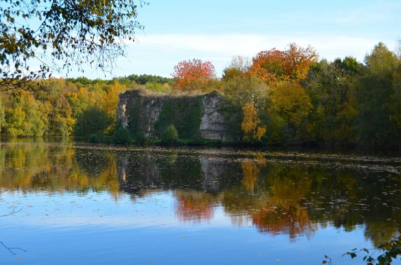
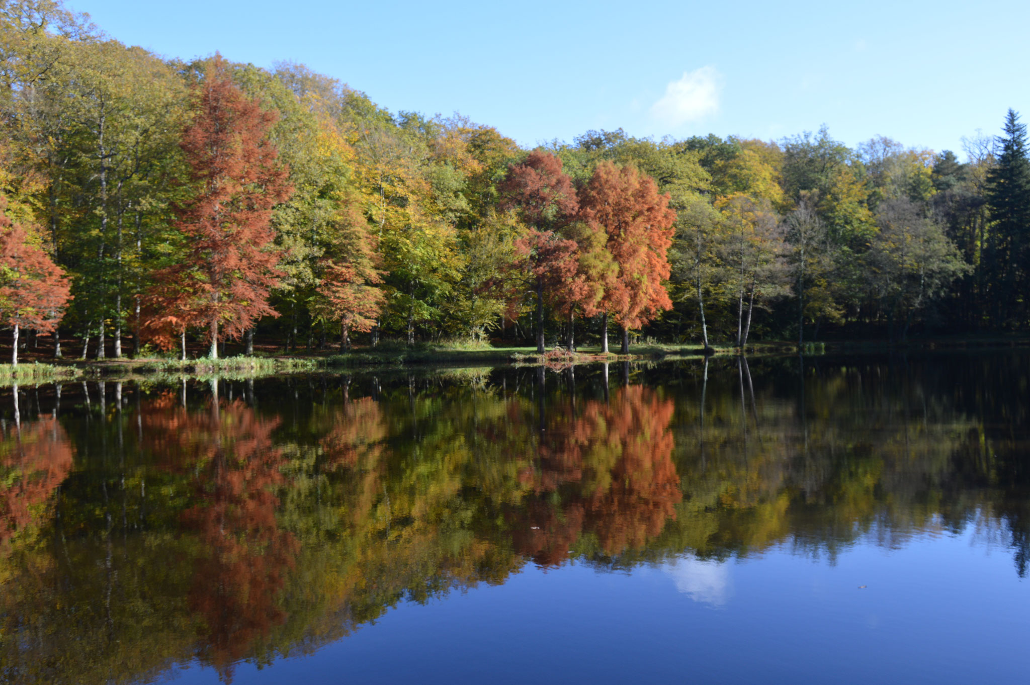
Departing from Bellême, this hike quickly reaches the forest to complete a beautiful loop. Halfway through, the path arrives at the Herse pond, where a short break is in order. You then have to return to the starting point through the forest to end this lovely walk.

Already more than 200,000 users!
Uphill
336m
Highest point
286m
Downhill
336m
Lowest point
121m
Route type
Loop
Download the map on your smartphone to save battery and rest assured to always keep access to the route, even without signal.
Includes IGN France and Swisstopo.
I indicate whether dogs are allowed or prohibited on this trail
All year
0 ratings
Also enjoy:

Already more than 200,000 users!