Uphill
132m
Length
6km
Duration
2h
Elev gain
132m
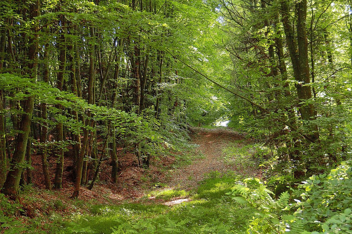
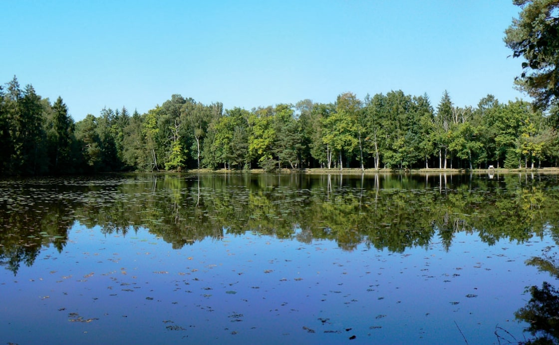
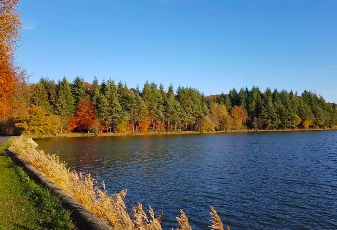
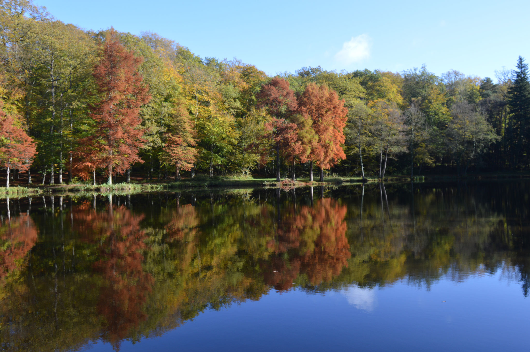
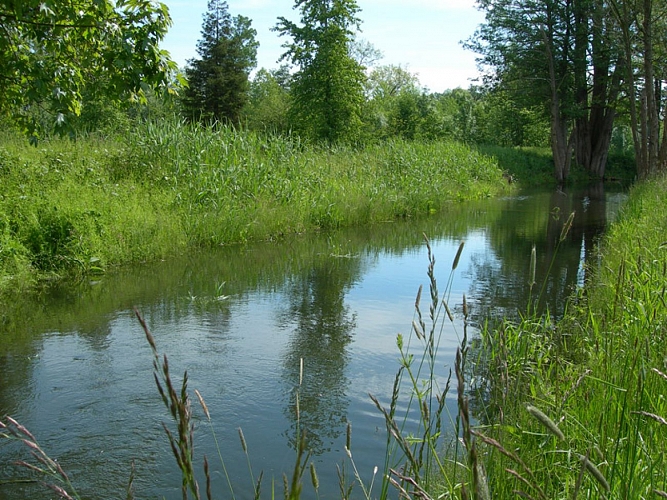
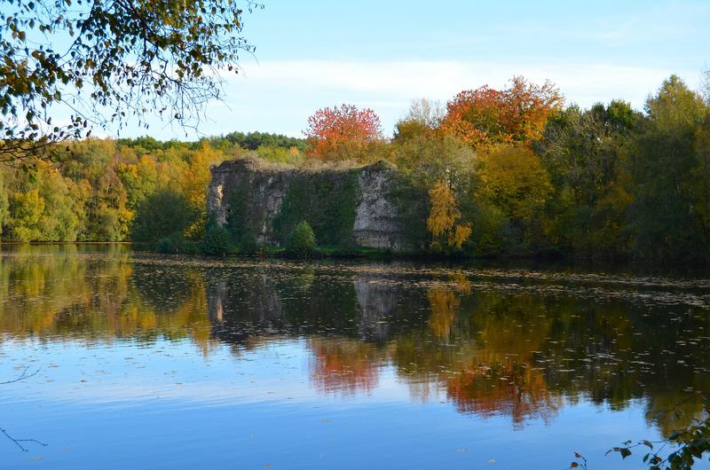
Nice quiet walk near L'Hôme-Chamondot. The route makes a loop in diverse and varied landscapes then joins the ruins of the castle of Gannes halfway through, before returning to the starting point.
A stop is possible at the brasserie du Perche to have a snack, near the starting point.

Already more than 200,000 users!
Uphill
132m
Highest point
263m
Downhill
132m
Lowest point
184m
Route type
Loop
Download the map on your smartphone to save battery and rest assured to always keep access to the route, even without signal.
Includes IGN France and Swisstopo.
I indicate whether dogs are allowed or prohibited on this trail
All year
4 ratings
Nice slow walk
Also enjoy:

Already more than 200,000 users!