Uphill
243m
Length
12km
Duration
3h30min
Elev gain
243m
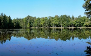
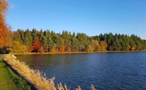
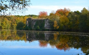
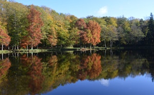
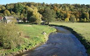
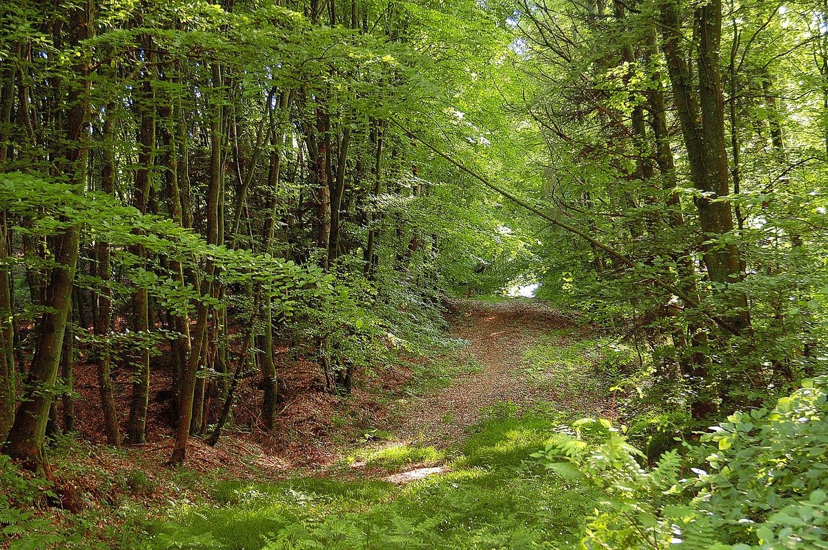
This trail takes you through the Perche forest, as well as part of the Clairière forestière de Bresolettes nature reserve. There are also several ponds and rivers along the way.

Already more than 200,000 users!
Uphill
243m
Highest point
324m
Downhill
243m
Lowest point
237m
Route type
Loop
Download the map on your smartphone to save battery and rest assured to always keep access to the route, even without signal.
Includes IGN France and Swisstopo.
I indicate whether dogs are allowed or prohibited on this trail
All year
2 ratings
Certains chemins ne sont pas entretenus mais la balade est plaisante.
Also enjoy:

Already more than 200,000 users!