Uphill
329m
France > Normandy > Orne > Perche Nature Park
Length
13km
Duration
4h
Elev gain
329m
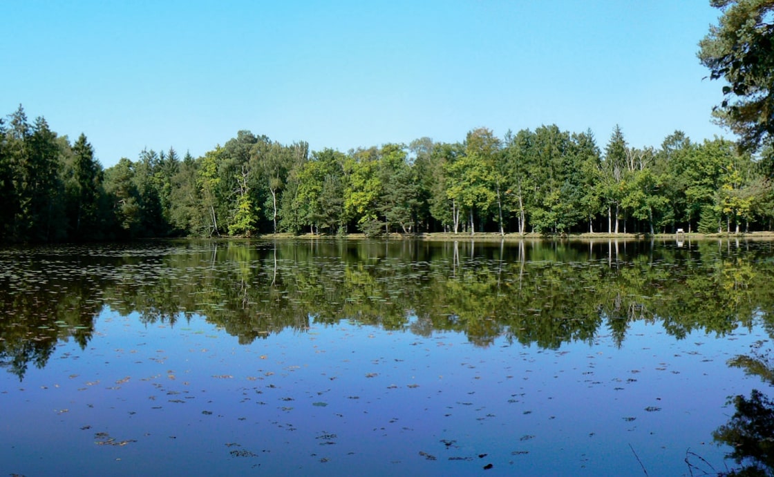
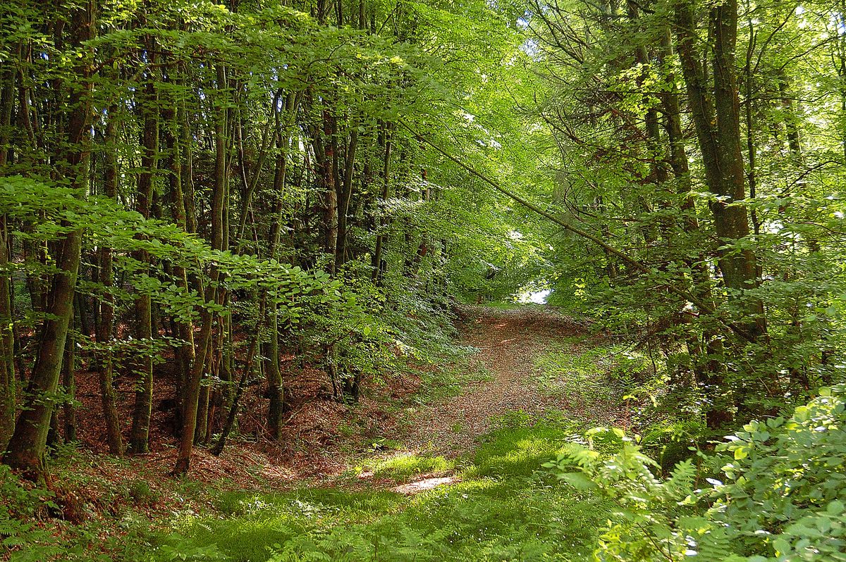
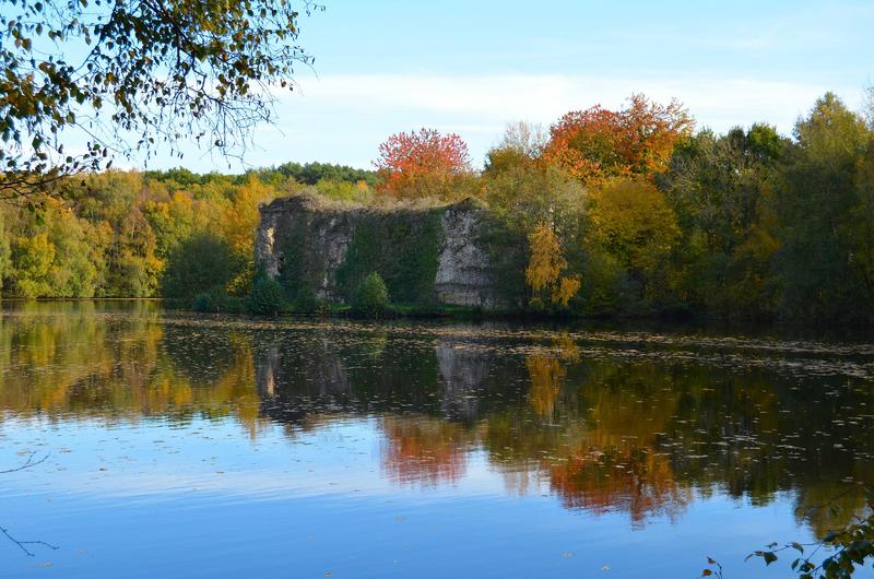
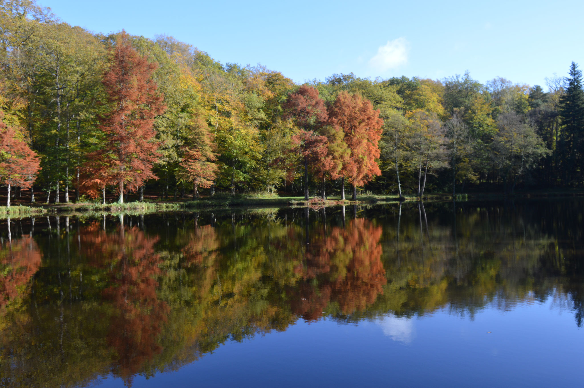
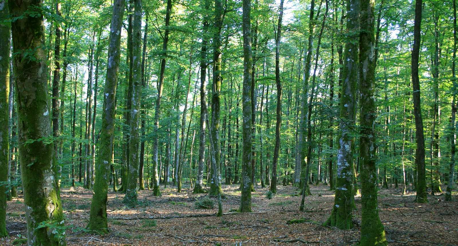
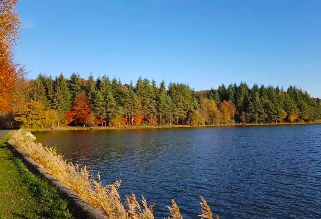
Pretty hike starting from the Chaumont pond. The route crosses the nature reserve of the forest clearing of Bresolettes, punctuated by beautiful ponds.

Already more than 200,000 users!
Uphill
329m
Highest point
336m
Downhill
329m
Lowest point
230m
Route type
Loop
Download the map on your smartphone to save battery and rest assured to always keep access to the route, even without signal.
Includes IGN France and Swisstopo.
I indicate whether dogs are allowed or prohibited on this trail
All year
2 ratings
Also enjoy:

Already more than 200,000 users!