Uphill
345m
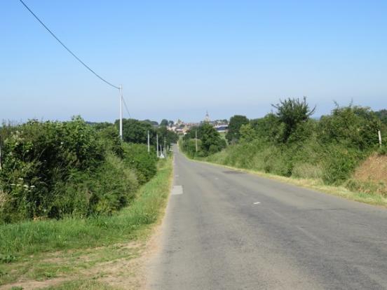
France > Pays de la Loire > Sarthe > Normandie-Maine Nature Park
Length
10km
Duration
3h30min
Elev gain
345m
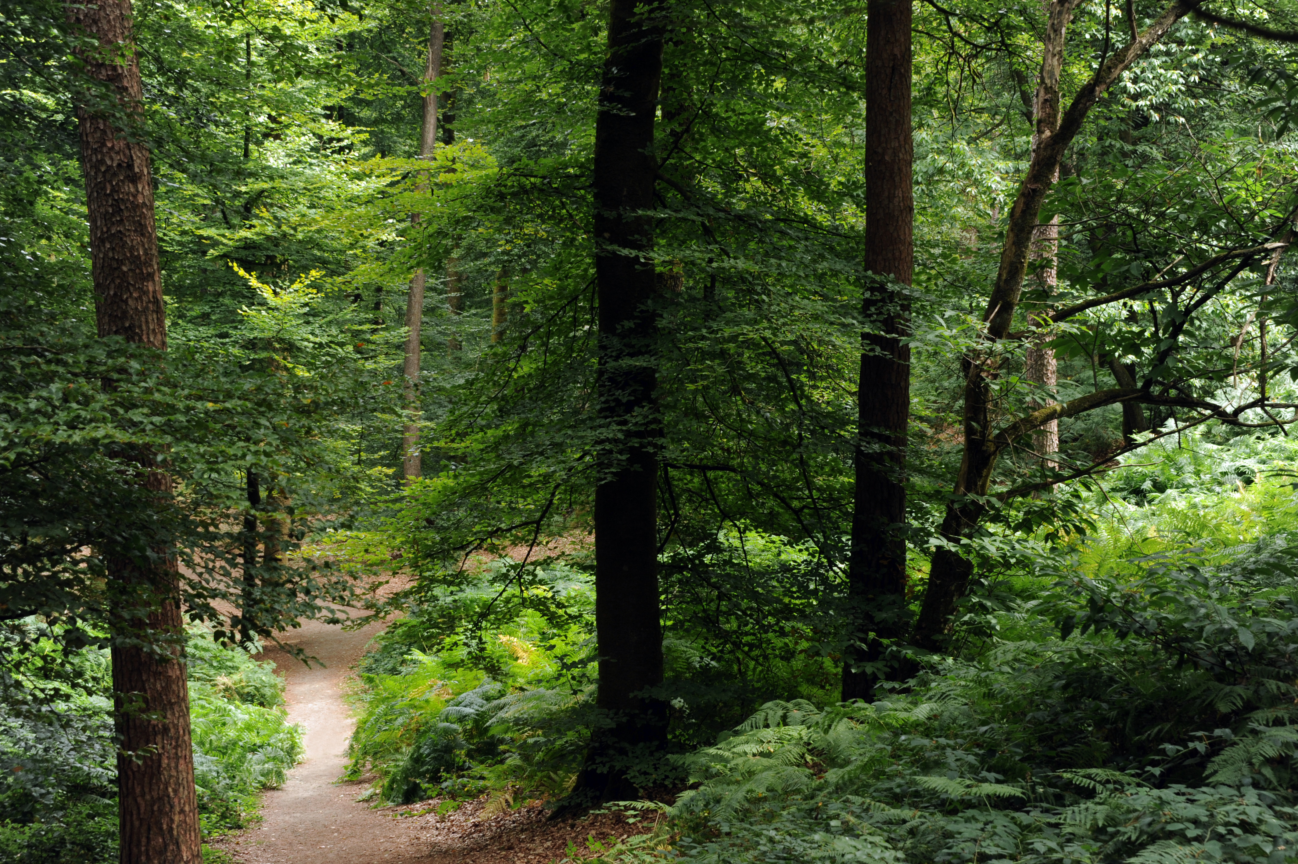
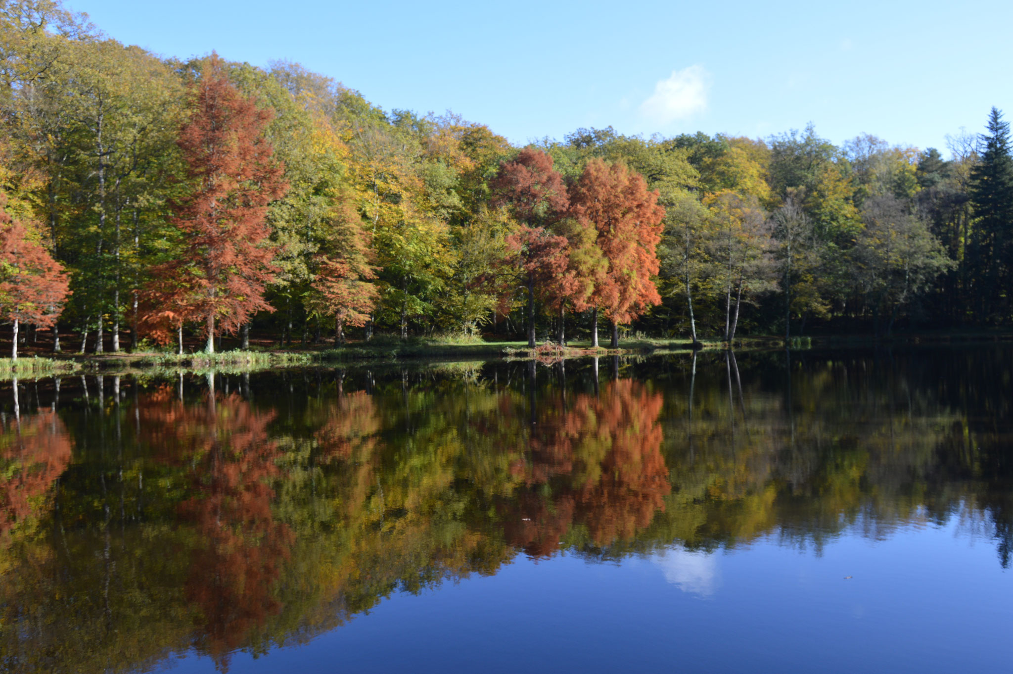
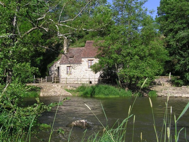
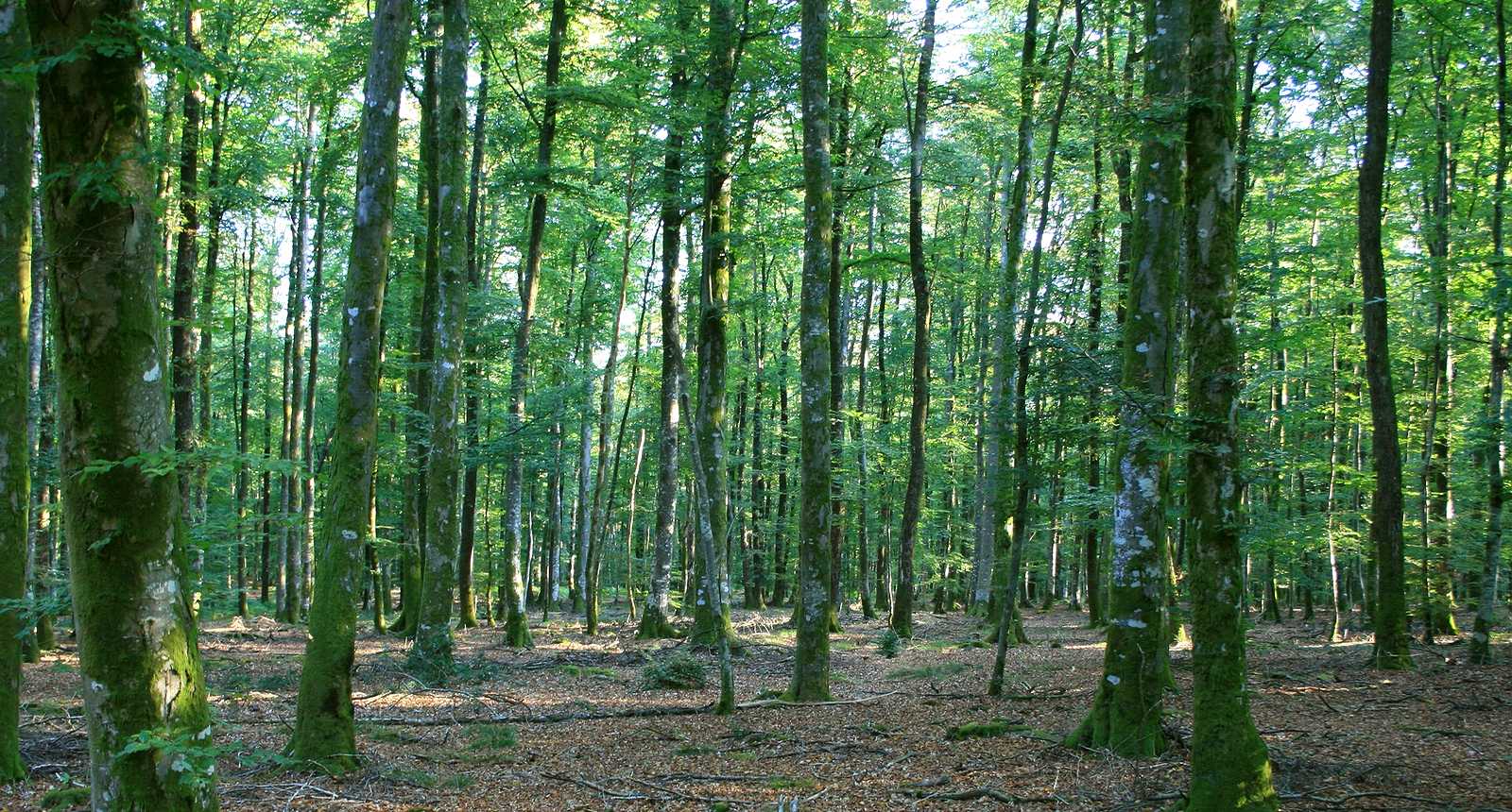
Stroll through the ancient royal forest of Perseigne, populated by oaks, beeches and firs, and extending over more than 5,000 hectares.

Already more than 200,000 users!
Uphill
345m
Highest point
309m
Downhill
345m
Lowest point
167m
Route type
Loop
Download the map on your smartphone to save battery and rest assured to always keep access to the route, even without signal.
Includes IGN France and Swisstopo.
I indicate whether dogs are allowed or prohibited on this trail
All year
1 rating
Also enjoy:

Already more than 200,000 users!