Uphill
65m
France > Pays de la Loire > Maine-et-Loire
Length
8km
Duration
2h30min
Elev gain
65m
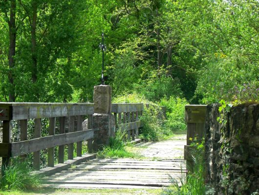
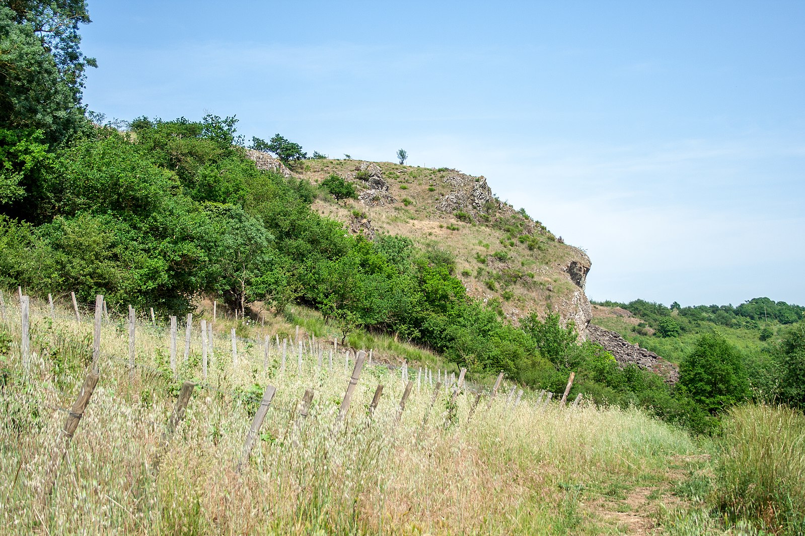
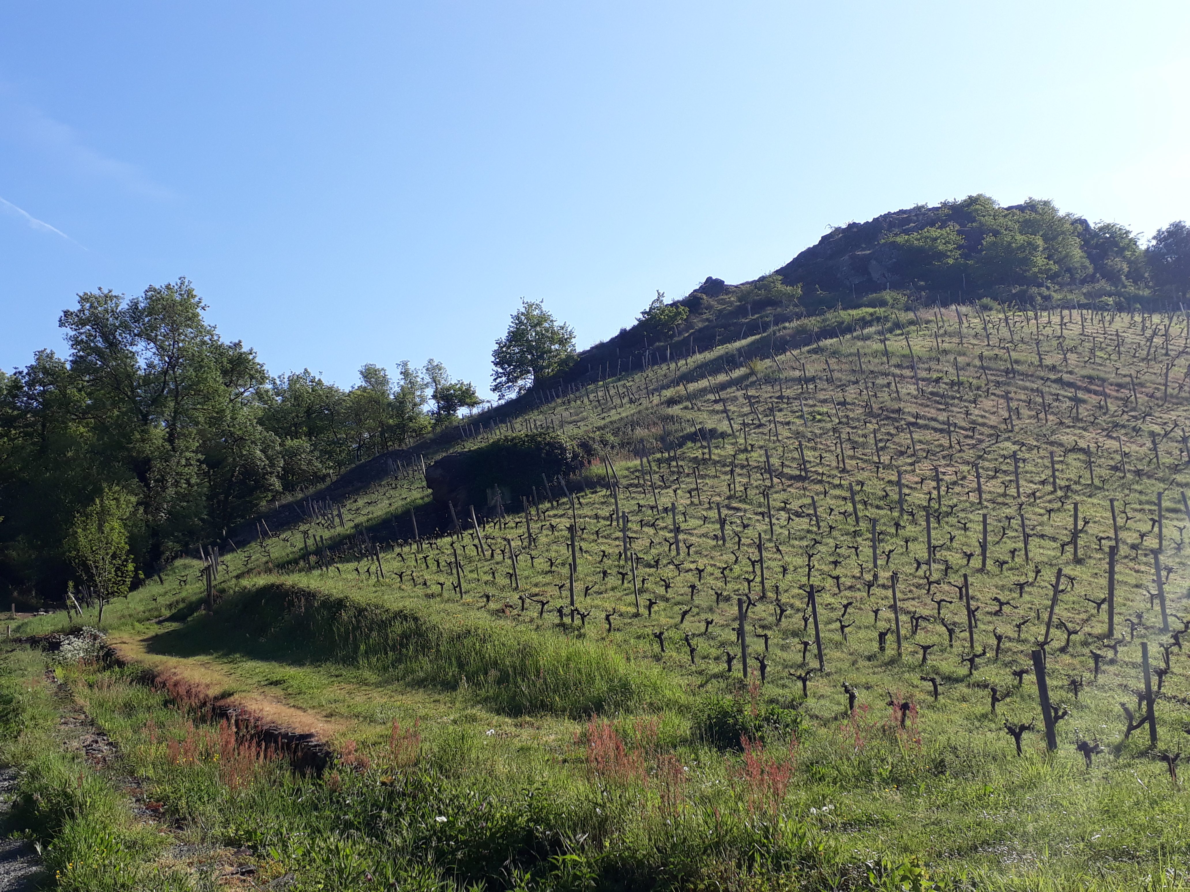
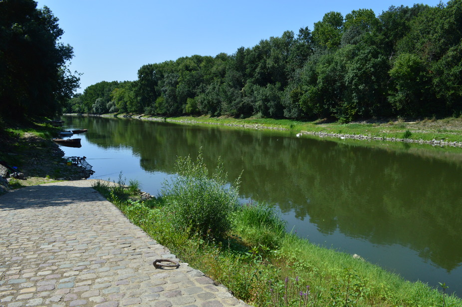
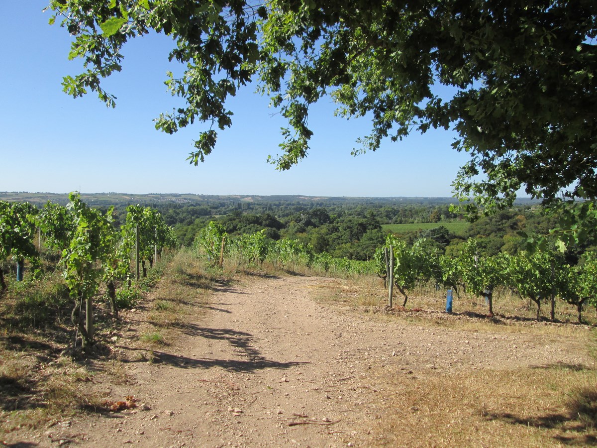
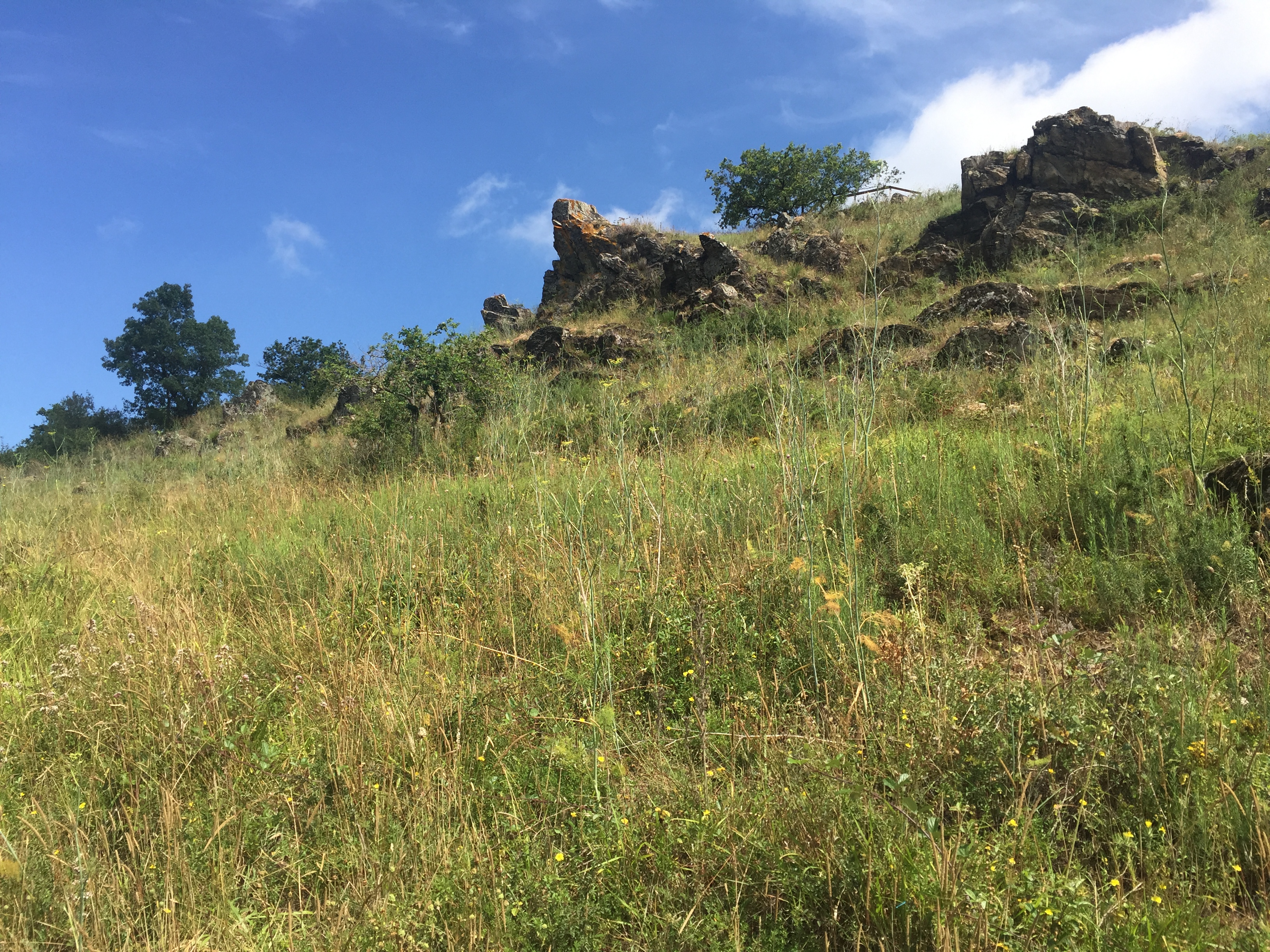
This short hike begins in Saint-Lambert-du-Lattay and leads to the Coteaux du Pont-Barré. The course makes a loop and alternates between river and hillsides, all within a beautiful flora.

Already more than 200,000 users!
Uphill
65m
Highest point
62m
Downhill
65m
Lowest point
13m
Route type
There and back
Download the map on your smartphone to save battery and rest assured to always keep access to the route, even without signal.
Includes IGN France and Swisstopo.
I indicate whether dogs are allowed or prohibited on this trail
All year
0 ratings
Also enjoy:

Already more than 200,000 users!