Uphill
133m
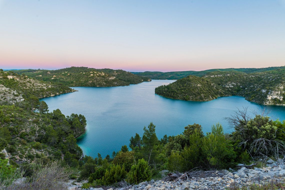
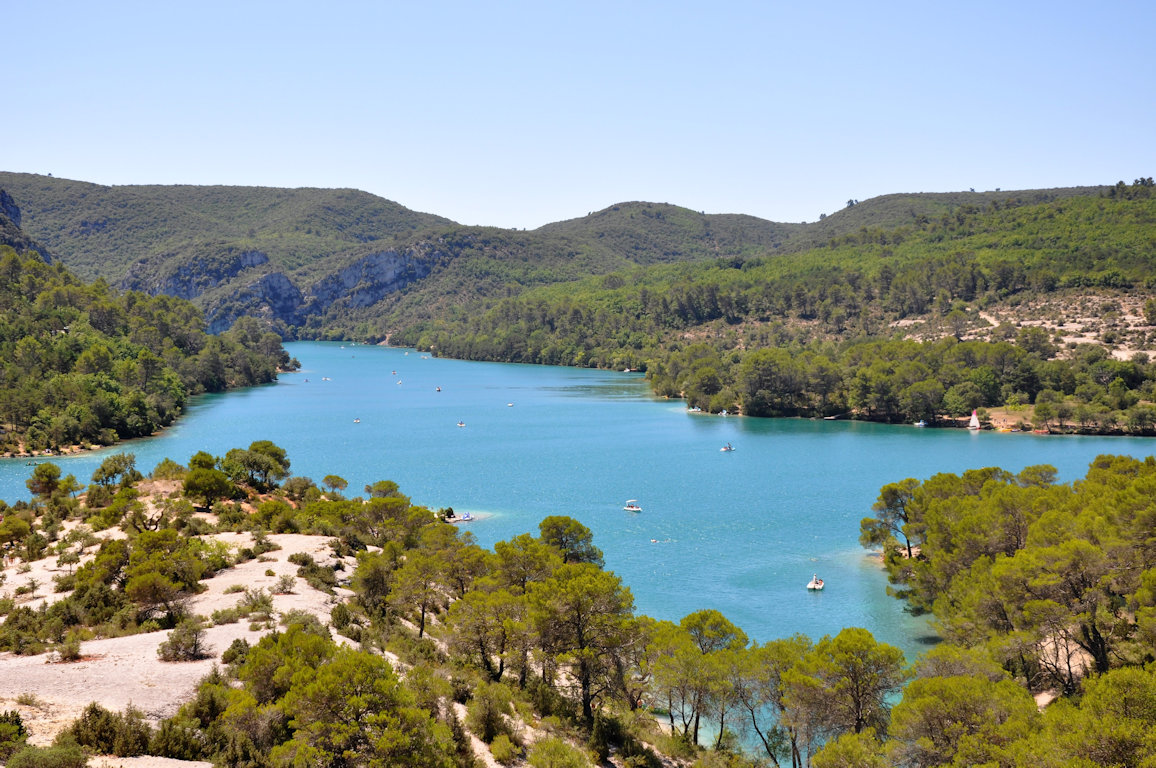
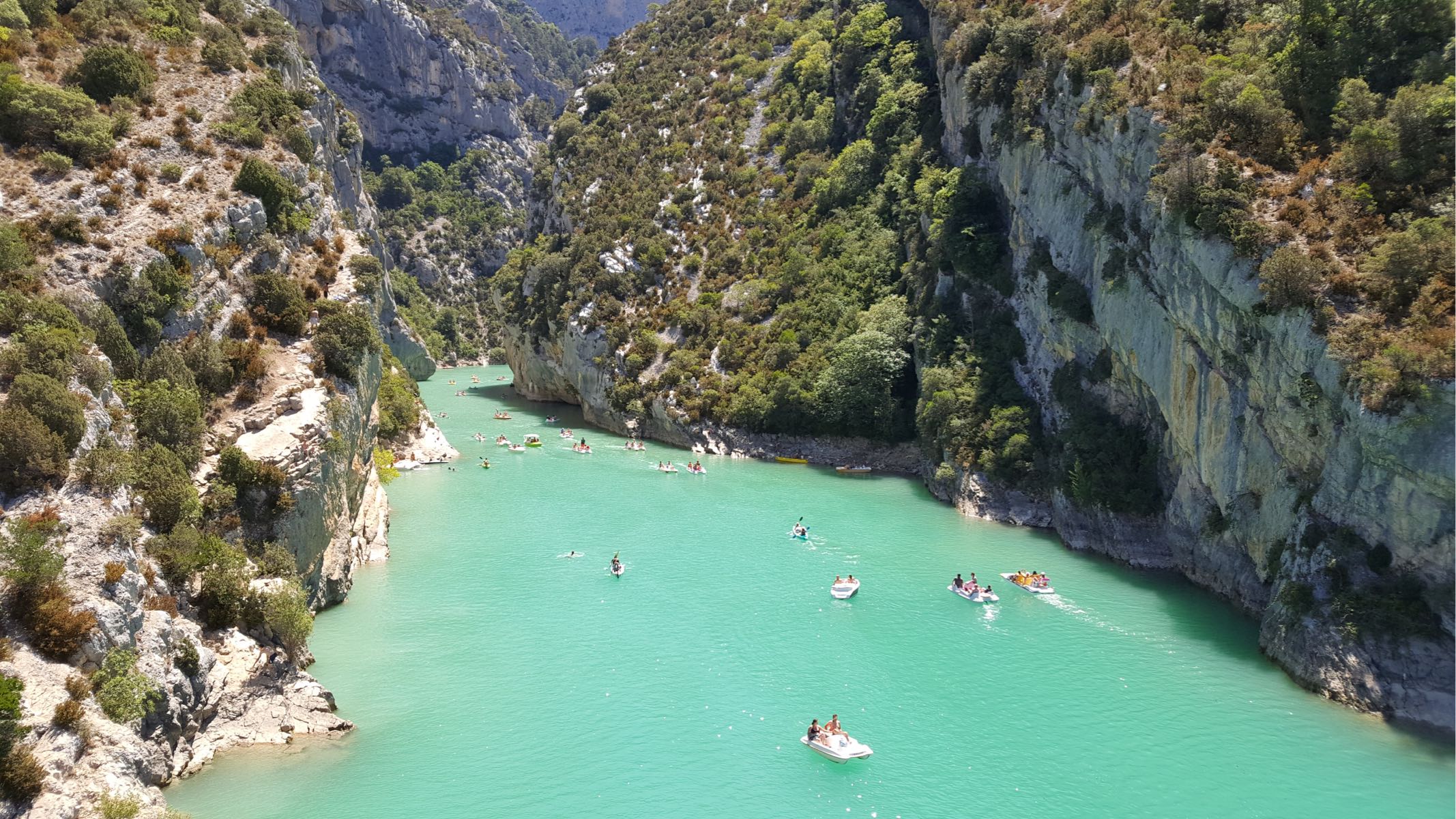
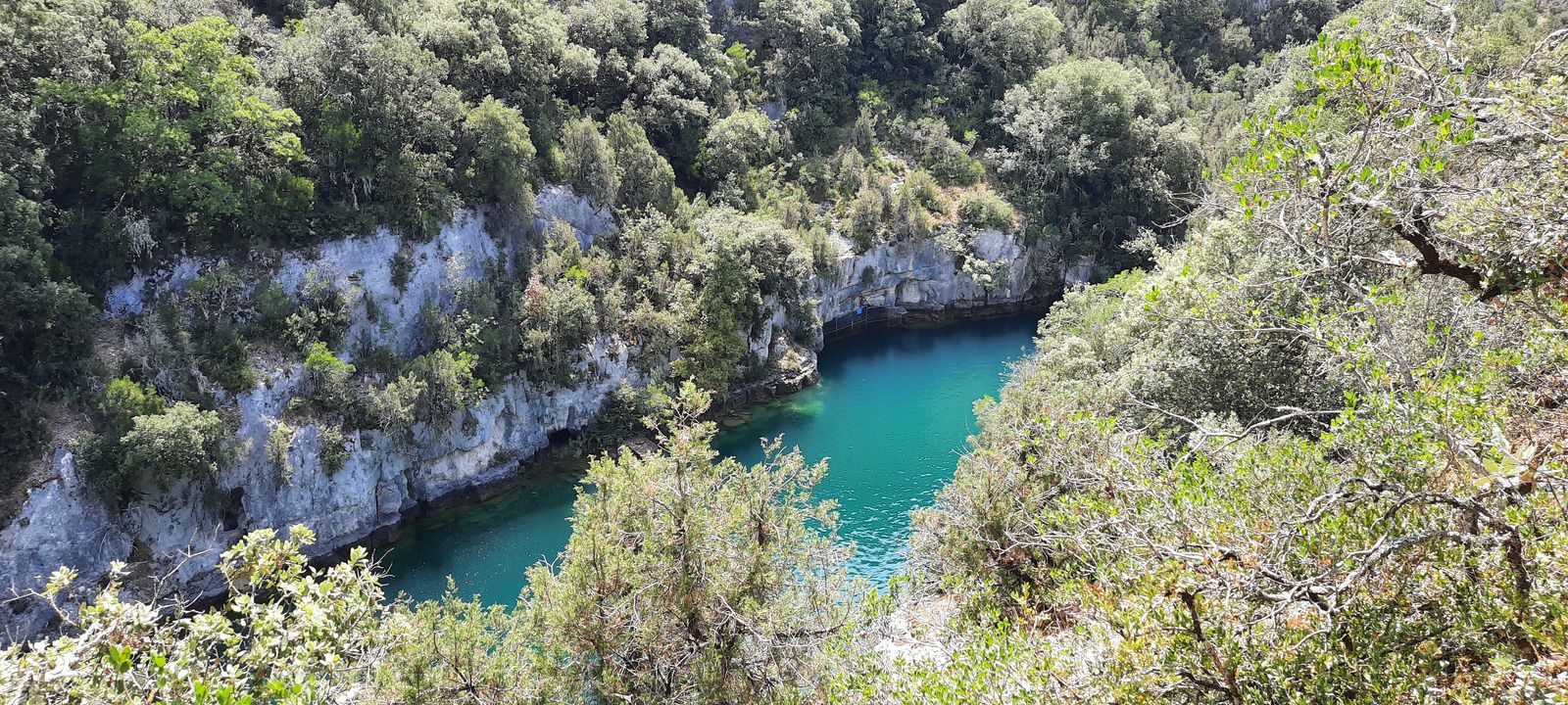
France > Provence-Alpes-Côte d'Azur > Var > Verdon Regional Natural Park
Length
7km
Duration
2h
Elev gain
133m
Walk on the shores of Lake Esparron-de-Verdon, starting from a small beach.

Already more than 200,000 users!
Uphill
133m
Highest point
406m
Downhill
133m
Lowest point
359m
Route type
There and back
Download the map on your smartphone to save battery and rest assured to always keep access to the route, even without signal.
Includes IGN France and Swisstopo.
Parking at the start of the hike.
Note that it might be paid in summer.
I indicate whether dogs are allowed or prohibited on this trail
All year
0 ratings
Also enjoy:

Already more than 200,000 users!