Uphill
263m
France > Provence-Alpes-Côte d'Azur > Alpes-de-Haute-Provence > Luberon Regional Natural Park
Length
10km
Duration
3h
Elev gain
263m
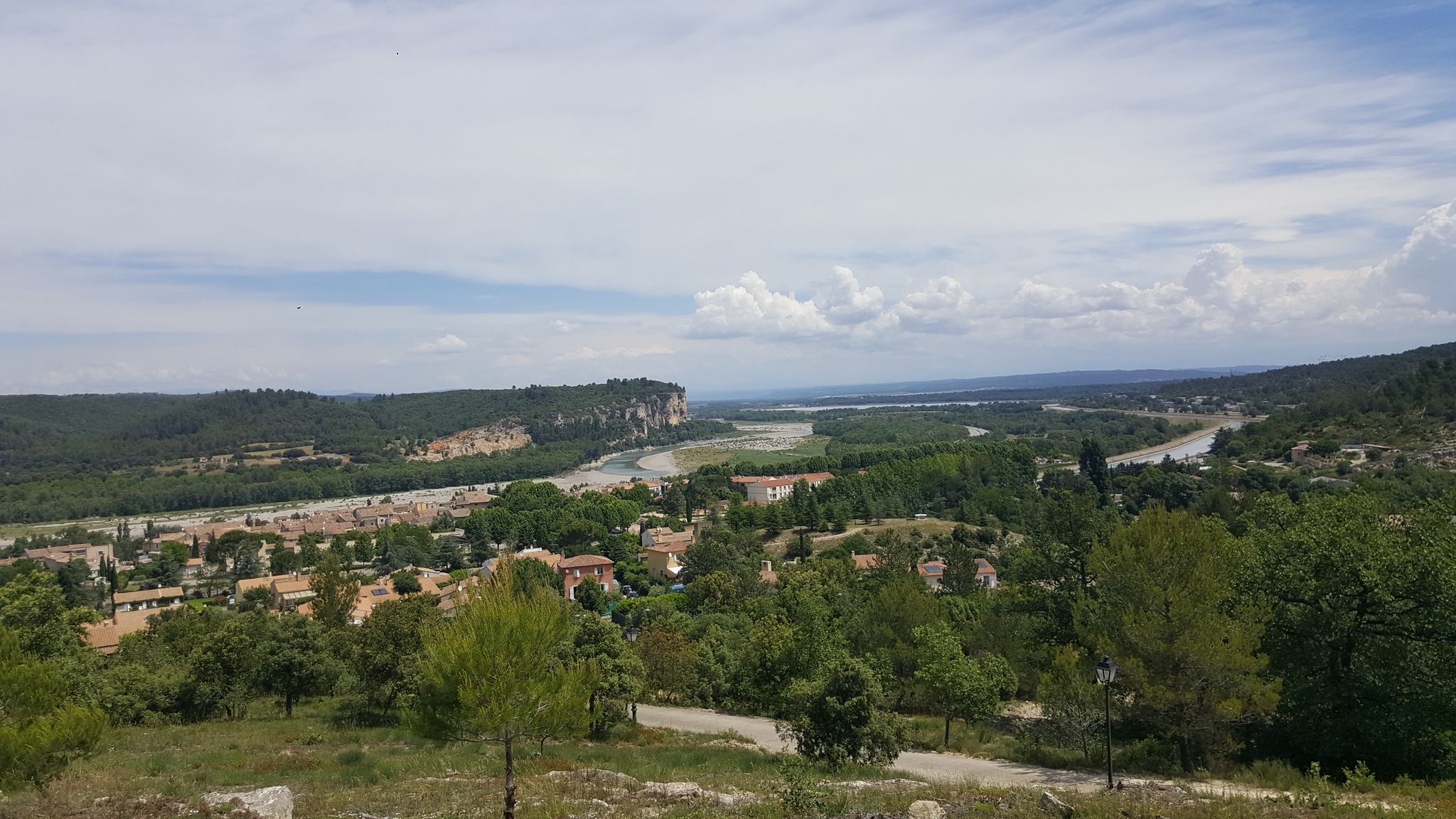
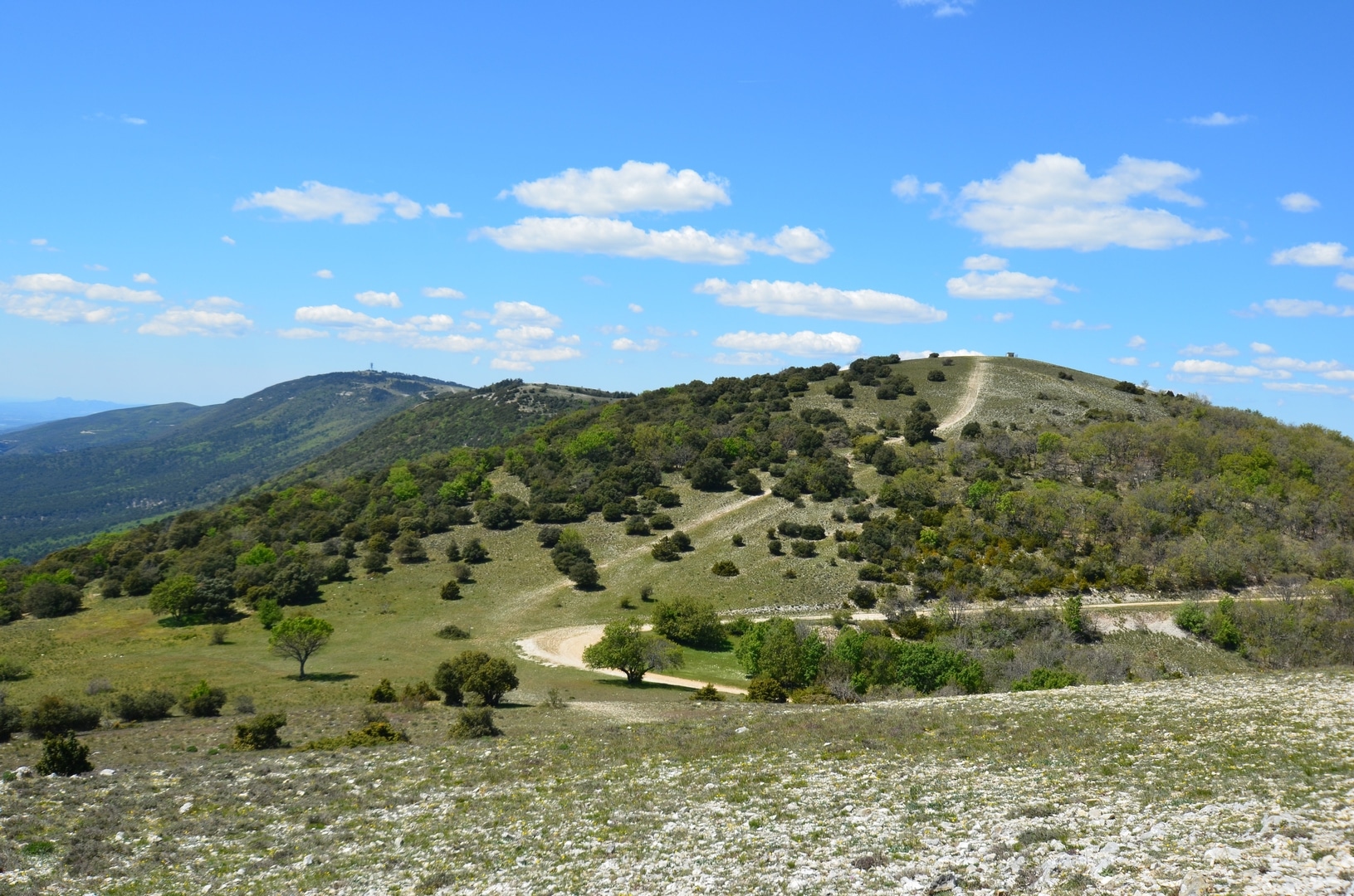
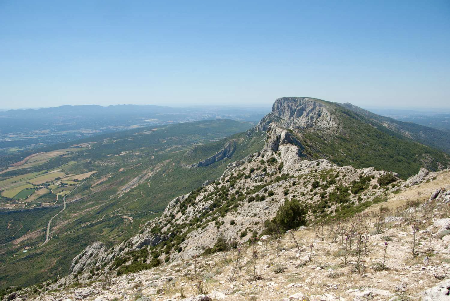
Loop trail offering many viewpoints over the village of Corbières-en-Provence.

Already more than 200,000 users!
Uphill
263m
Highest point
453m
Downhill
263m
Lowest point
273m
Route type
Loop
Download the map on your smartphone to save battery and rest assured to always keep access to the route, even without signal.
Includes IGN France and Swisstopo.
I indicate whether dogs are allowed or prohibited on this trail
All year
2 ratings
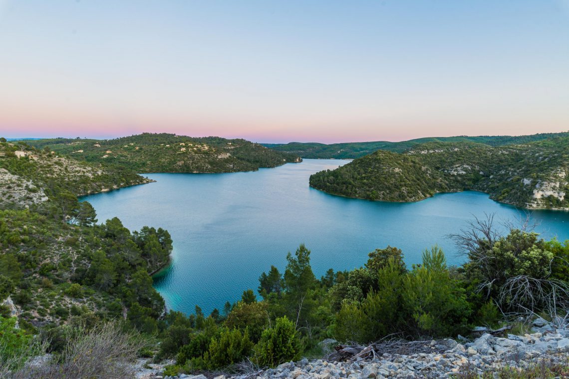
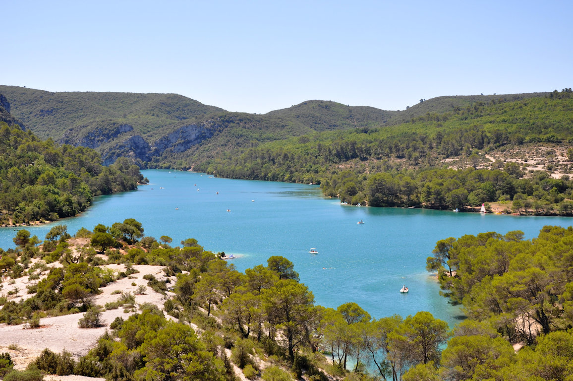
Also enjoy:

Already more than 200,000 users!