Uphill
412m
Length
7km
Duration
3h
Elev gain
412m
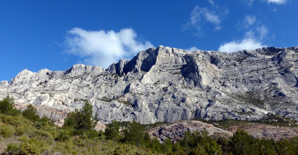
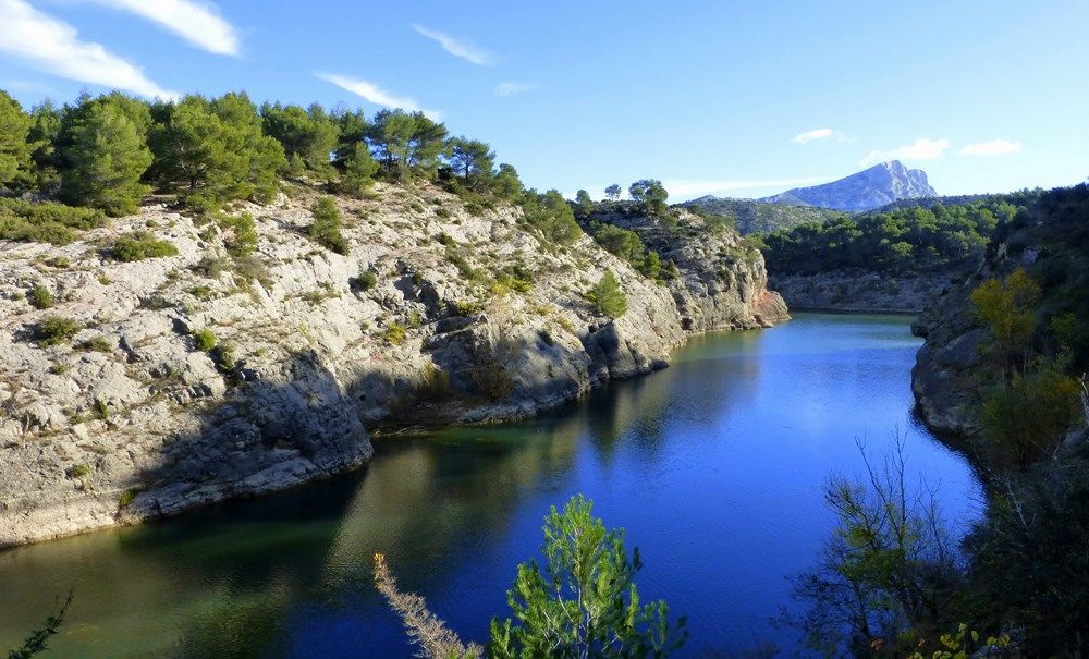
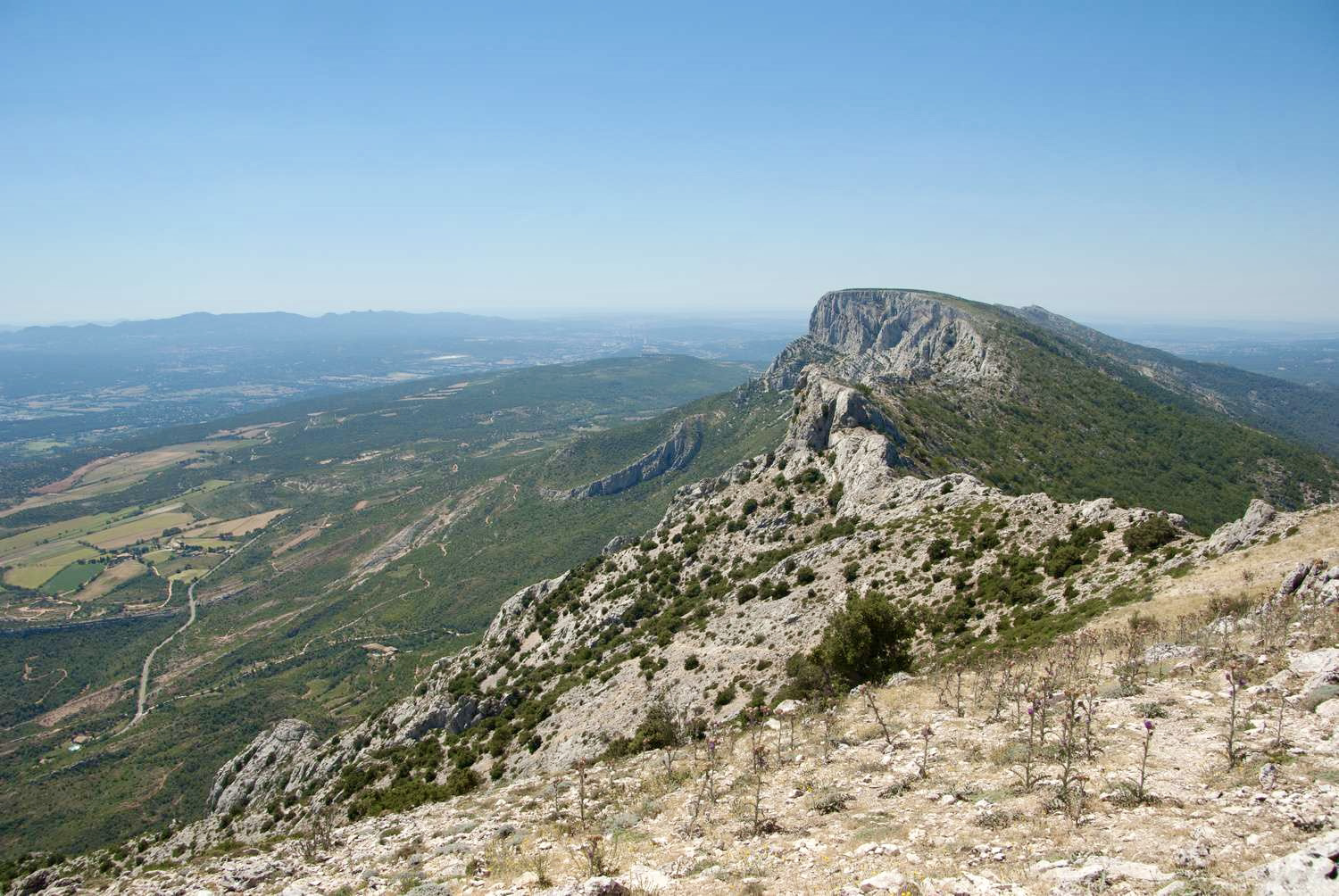
Departing from the Col des Portes, this is a walk to the highest summit of the Sainte-Victoire mountain: the Pic des Mouches (1011 meters). Superb view of the Bouches-du-Rhône and the Alps.
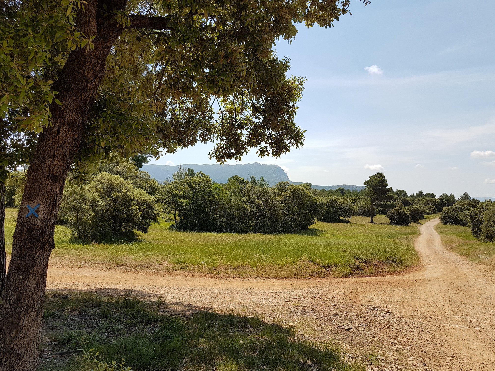
The ascent is made by the northern face, which presents gentle slopes covered with guarrigue, thus contrasting with the rugged terrain of the southern face.

Already more than 200,000 users!
Uphill
412m
Highest point
1004m
Downhill
412m
Lowest point
586m
Route type
Loop
Download the map on your smartphone to save battery and rest assured to always keep access to the route, even without signal.
Includes IGN France and Swisstopo.
I indicate whether dogs are allowed or prohibited on this trail
All year
1 rating
Also enjoy:

Already more than 200,000 users!