Uphill
696m
France > Provence-Alpes-Côte d'Azur > Bouches-du-Rhône
Length
10km
Duration
6h
Elev gain
696m
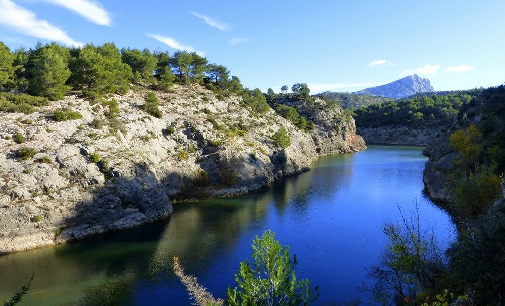
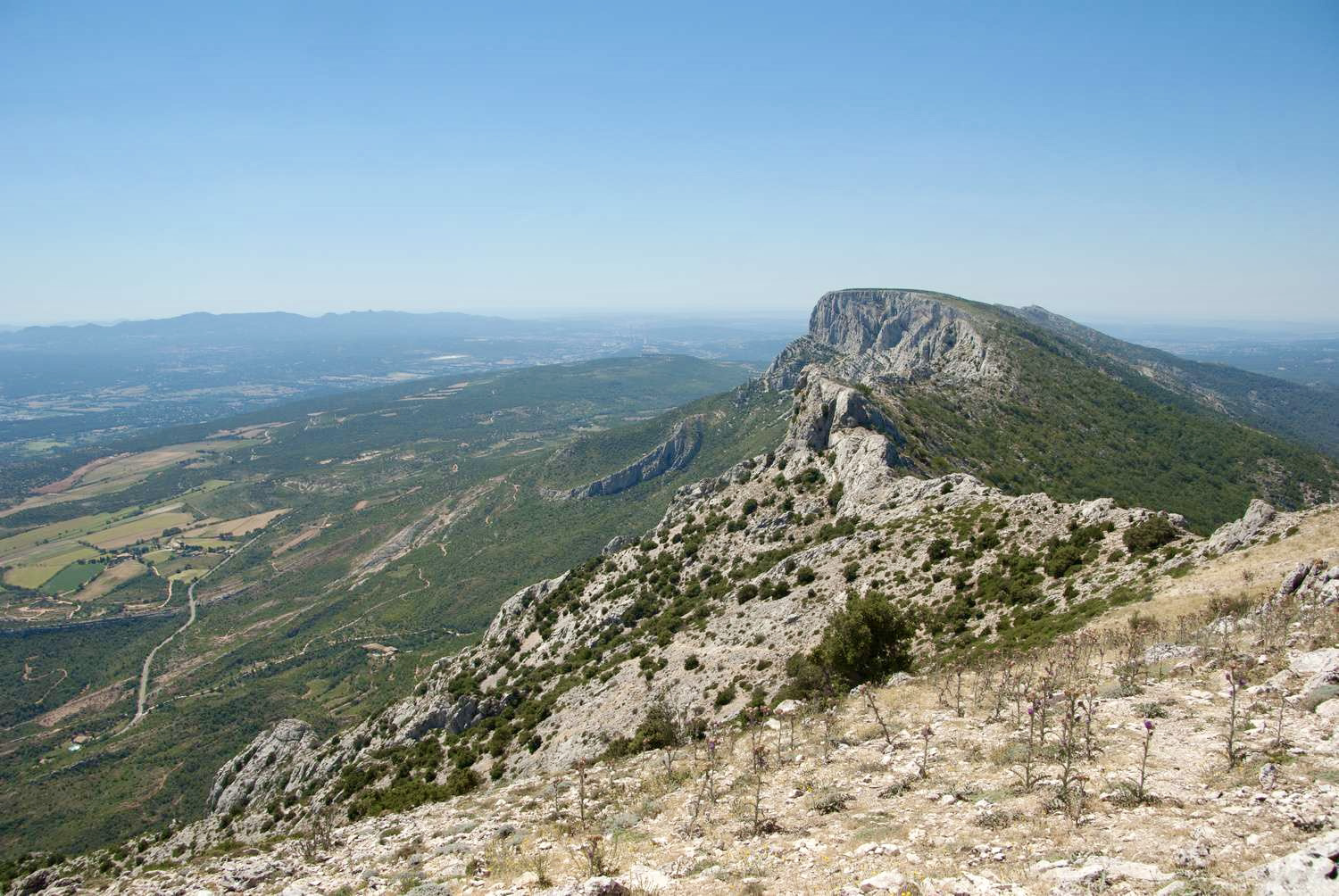
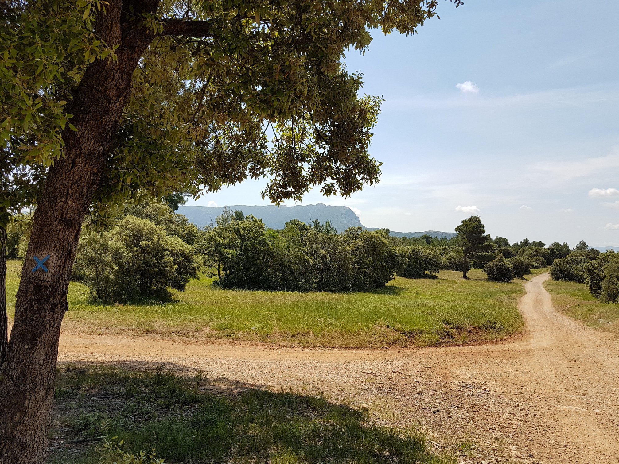
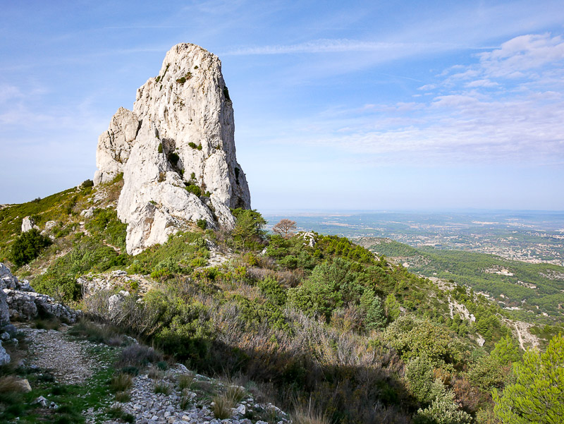
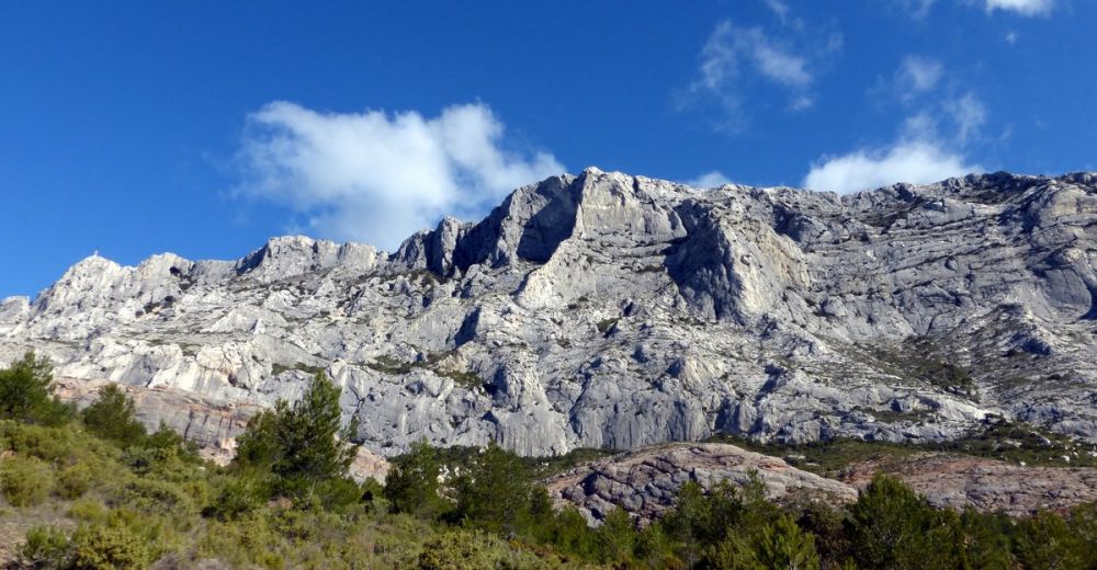
This is a challenging and technical hike on the Sainte-Victoire. Starting from the Deux Aiguilles car park, the path climbs hard to reach the crests, with some passages approaching climbing. To be avoided by people prone to vertigo.

Already more than 200,000 users!
Uphill
696m
Highest point
983m
Downhill
696m
Lowest point
437m
Route type
Loop
Download the map on your smartphone to save battery and rest assured to always keep access to the route, even without signal.
Includes IGN France and Swisstopo.
I indicate whether dogs are allowed or prohibited on this trail
All year
2 ratings
Also enjoy:

Already more than 200,000 users!