Uphill
155m
Length
11km
Duration
3h
Elev gain
155m
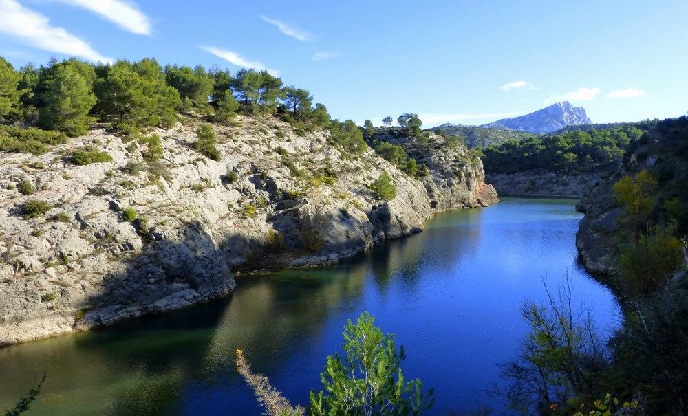
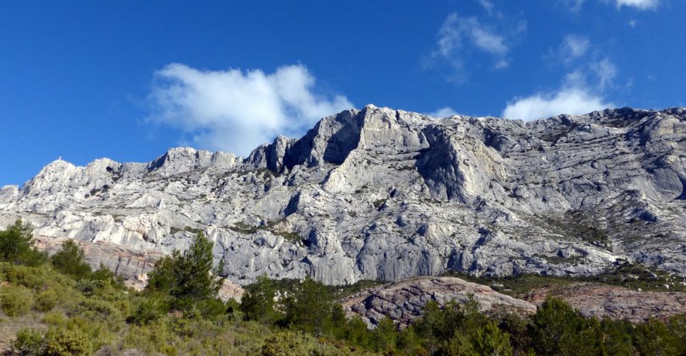
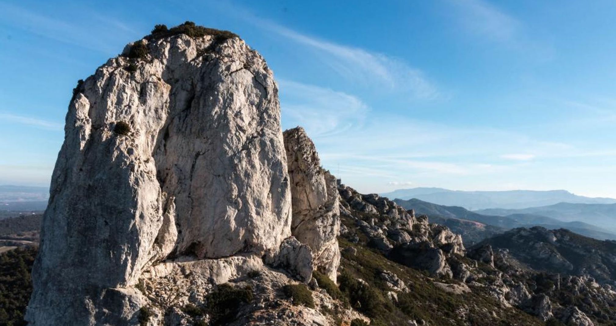
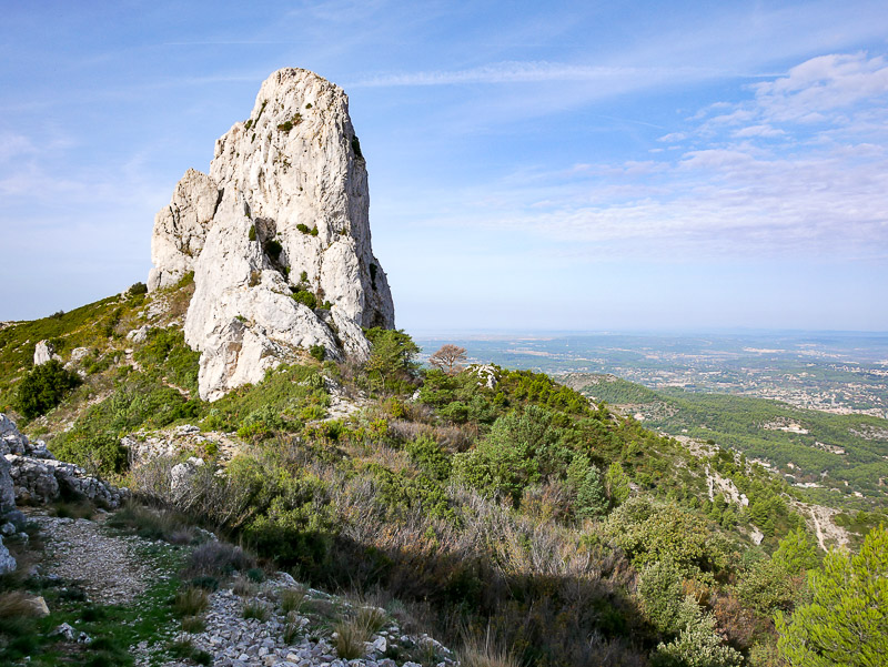
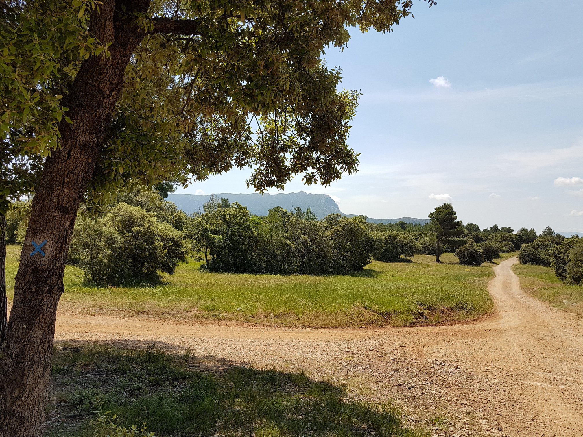
Walk on wide tracks in the heart of the Provençal forest, which offers lovely views of the Sainte-Victoire mountain as well as the Durance valley.

Already more than 200,000 users!
Uphill
155m
Highest point
506m
Downhill
157m
Lowest point
357m
Route type
Loop
Download the map on your smartphone to save battery and rest assured to always keep access to the route, even without signal.
Includes IGN France and Swisstopo.
I indicate whether dogs are allowed or prohibited on this trail
All year
1 rating
Also enjoy:

Already more than 200,000 users!