Uphill
544m
Length
17km
Duration
5h30min
Elev gain
544m
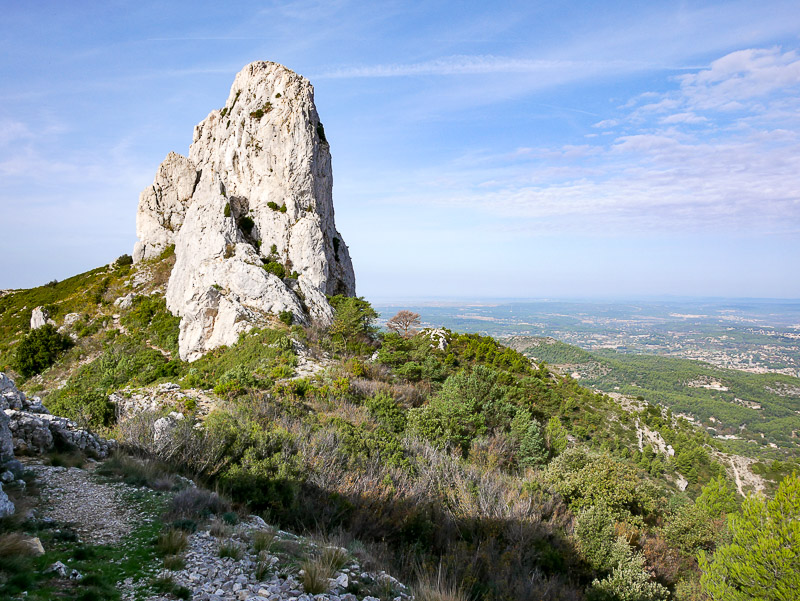
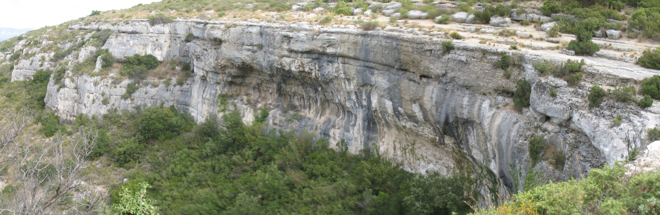
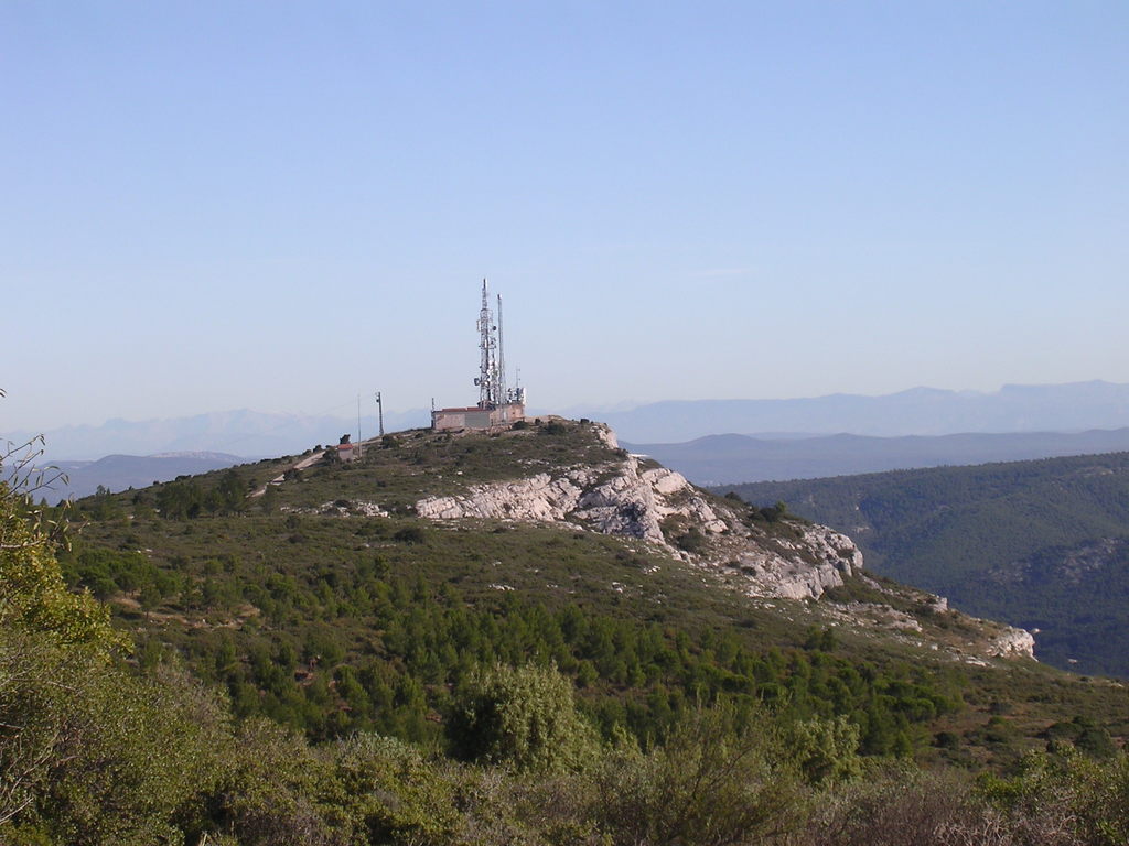
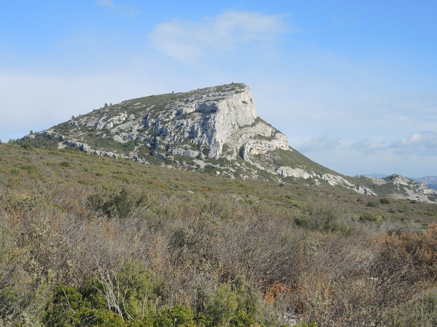
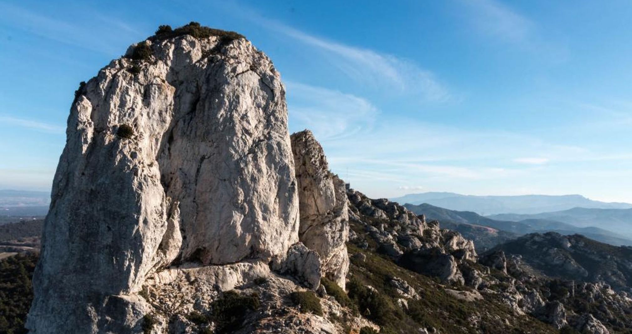
Departing from Simiane-Collongue, this hike goes up to the Pilon du Roi (710 m). The trail begins by following the Canal de Provence before climbing to the Pilon du Roi through the forest. Once at the top, the panorama is magnificent. On the way back, a short passage is made by the road to reach the starting point.

Already more than 200,000 users!
Uphill
544m
Highest point
678m
Downhill
539m
Lowest point
219m
Route type
Loop
Download the map on your smartphone to save battery and rest assured to always keep access to the route, even without signal.
Includes IGN France and Swisstopo.
I indicate whether dogs are allowed or prohibited on this trail
All year
0 ratings
Also enjoy:

Already more than 200,000 users!