Uphill
398m
Length
11km
Duration
3h30min
Elev gain
398m
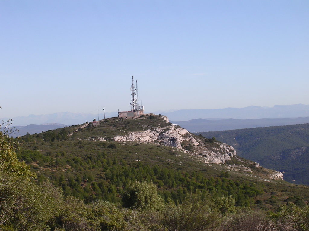
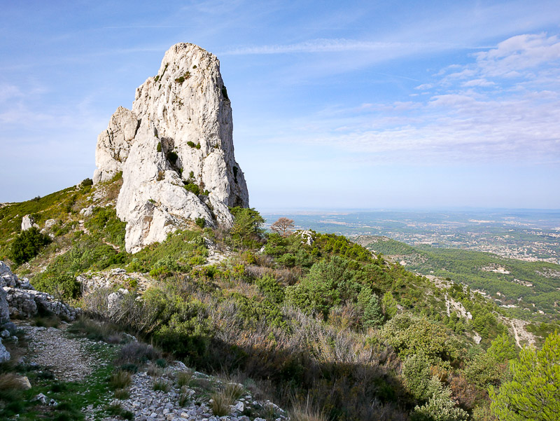
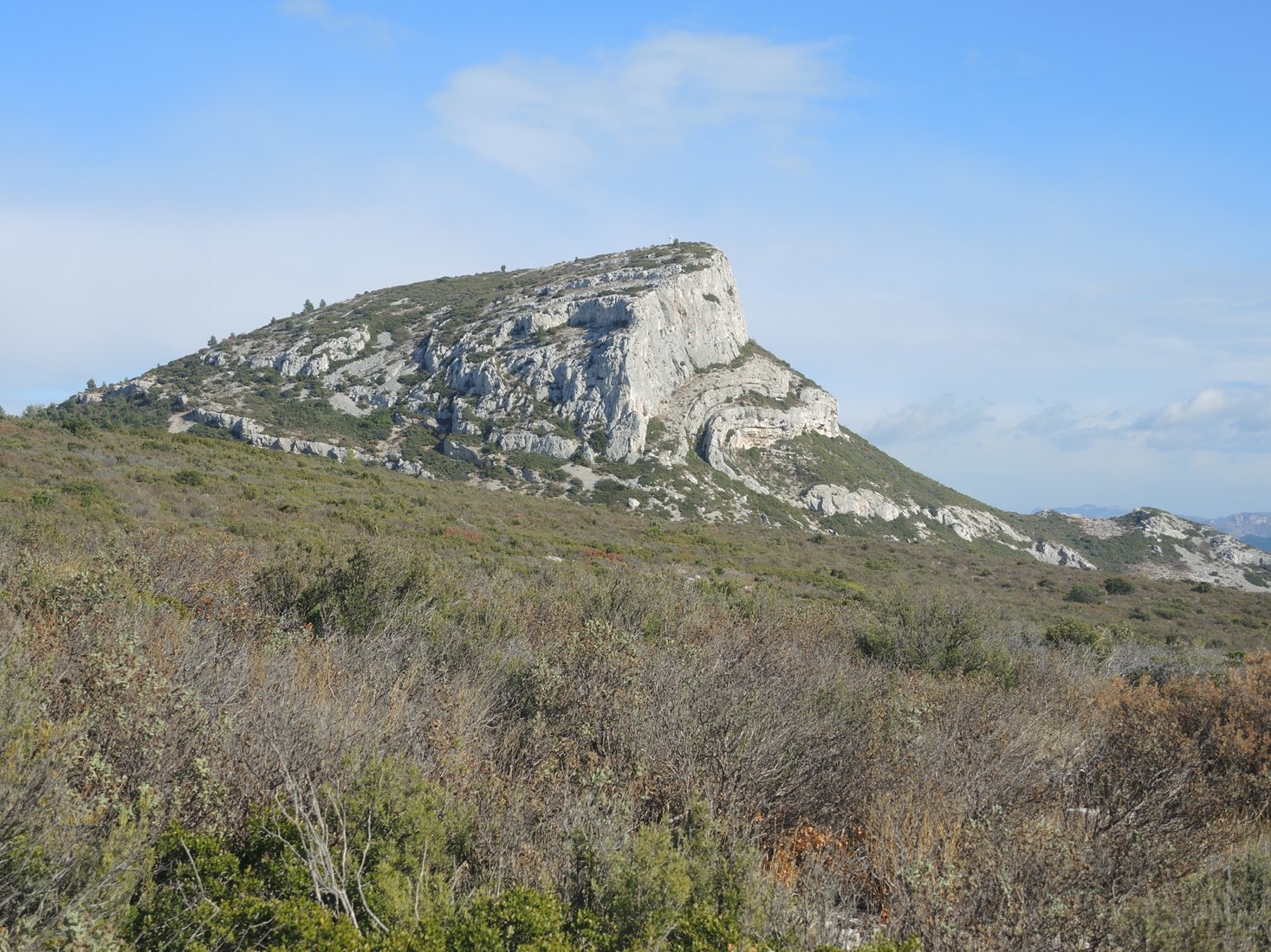
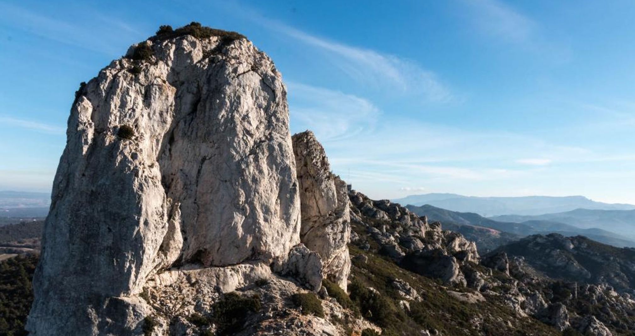
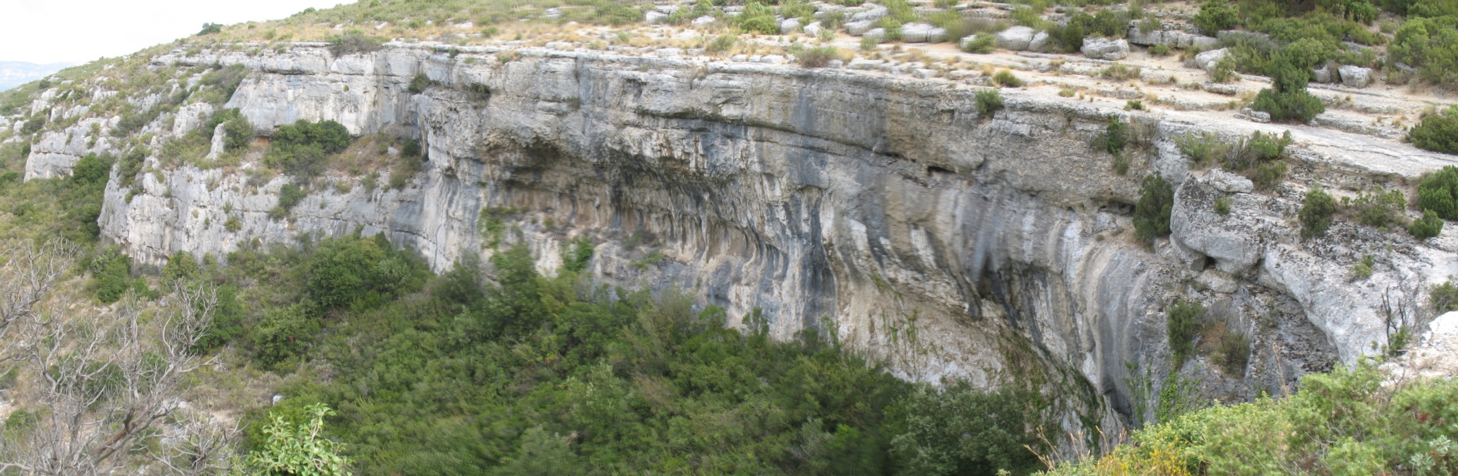
Loop trail through the Vallon de l'Oule, the Col de l'Amandier and the Parlor. The echo easily resonates within the cliffs.

Already more than 200,000 users!
Uphill
398m
Highest point
525m
Downhill
398m
Lowest point
184m
Route type
Loop
Download the map on your smartphone to save battery and rest assured to always keep access to the route, even without signal.
Includes IGN France and Swisstopo.
No specific parking for this hike. But a few places in front of La Guinguette restaurant.
RTM buses, La Feve stop.
I indicate whether dogs are allowed or prohibited on this trail
All year
0 ratings
Also enjoy:

Already more than 200,000 users!