Uphill
660m
Length
15km
Duration
5h30min
Elev gain
660m
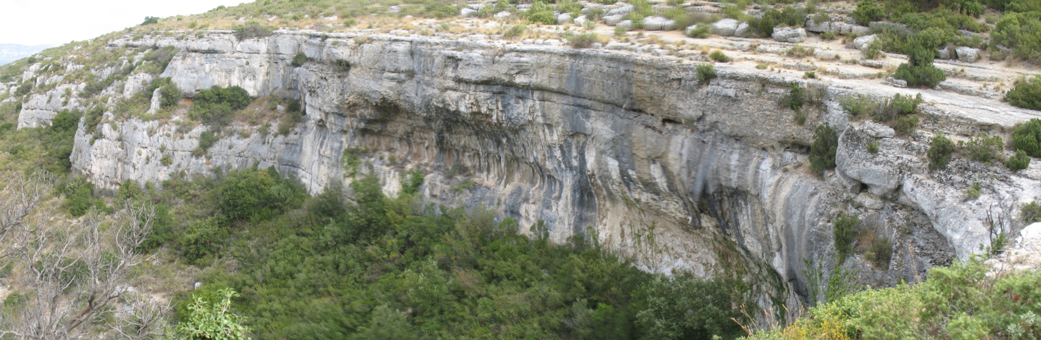
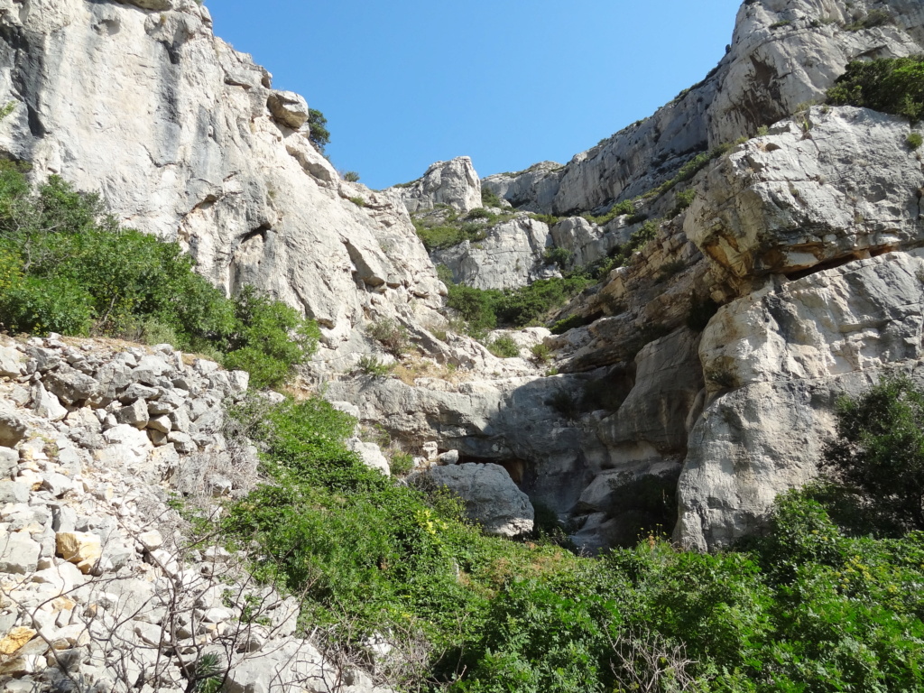
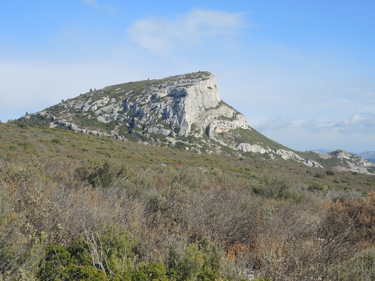
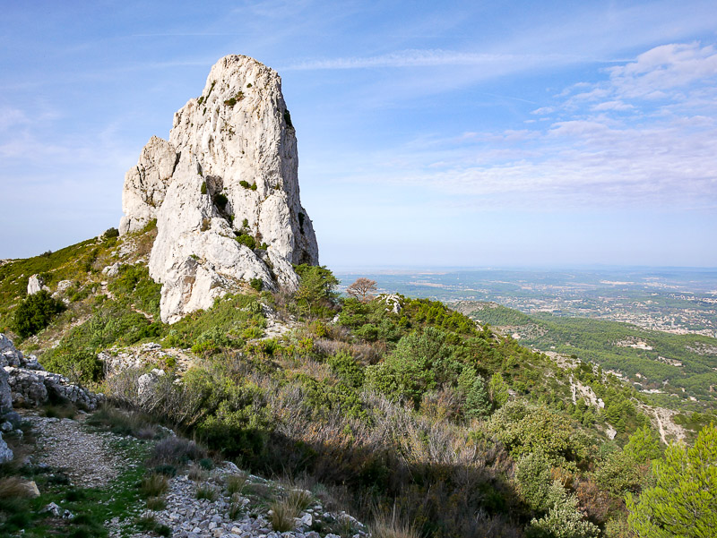
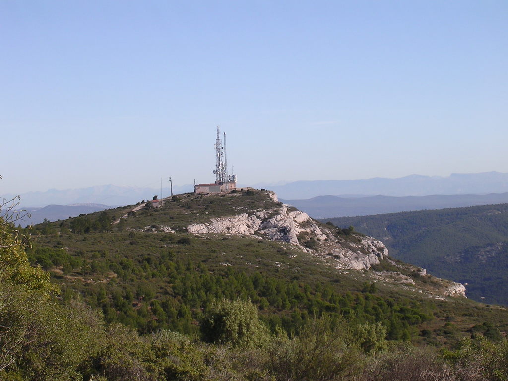
Loop trail in the Garlaban massif, between pines and scrubland. Nice views of the surroundings including Sainte-Victoire.

Already more than 200,000 users!
Uphill
660m
Highest point
657m
Downhill
660m
Lowest point
296m
Route type
Loop
Download the map on your smartphone to save battery and rest assured to always keep access to the route, even without signal.
Includes IGN France and Swisstopo.
1 rating
Très bonne randonnée . Certain passage un peu escarpé .
Also enjoy:

Already more than 200,000 users!