Uphill
714m
Length
16km
Duration
6h
Elev gain
714m
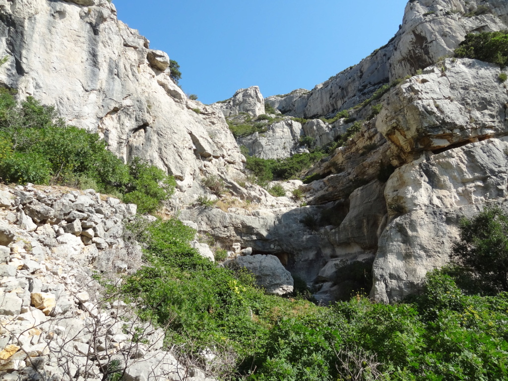
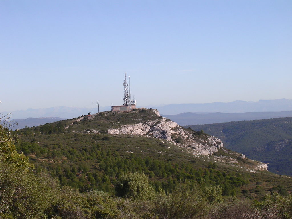
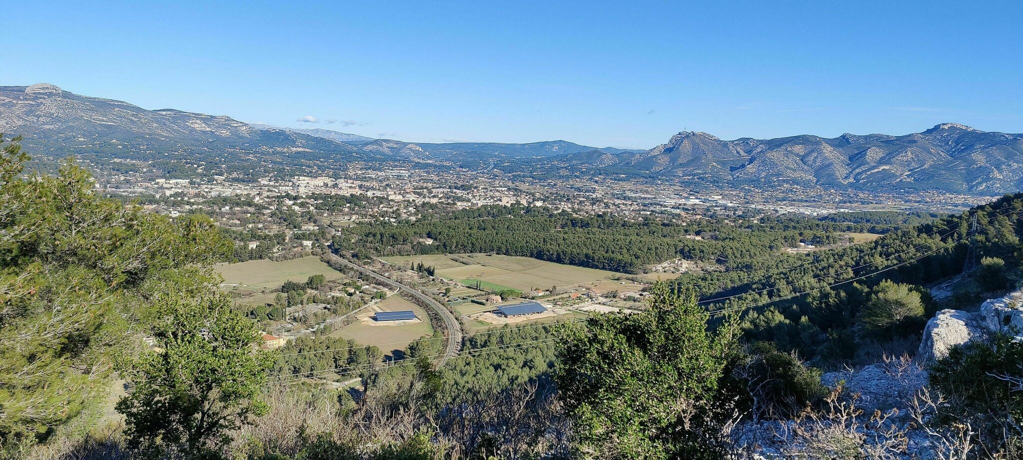
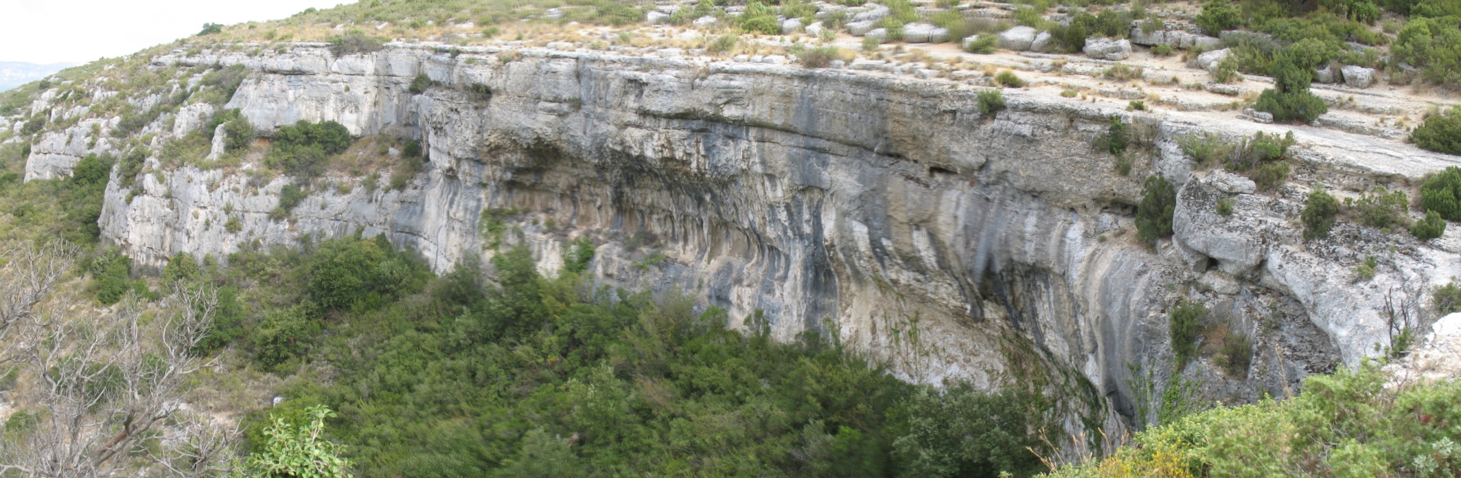
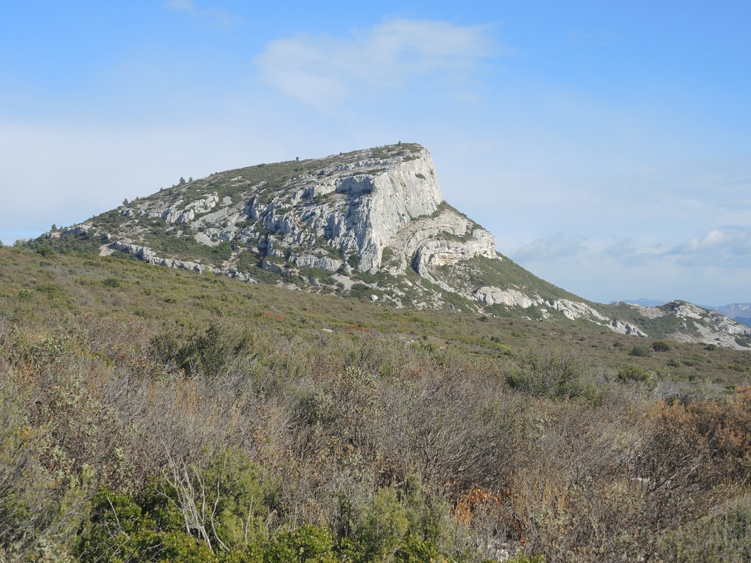
Above Aubagne, the Garlaban is above all known as having been the playground of Marcel Pagnol, recounted in particular in La Gloire de mon père and Le Château de ma mère. This massif presents hilly landscapes of garrigue and numerous caves.

Already more than 200,000 users!
Uphill
714m
Highest point
697m
Downhill
714m
Lowest point
209m
Route type
Loop
Download the map on your smartphone to save battery and rest assured to always keep access to the route, even without signal.
Includes IGN France and Swisstopo.
I indicate whether dogs are allowed or prohibited on this trail
All year
1 rating
Also enjoy:

Already more than 200,000 users!