Uphill
251m
Length
8km
Duration
3h
Elev gain
251m
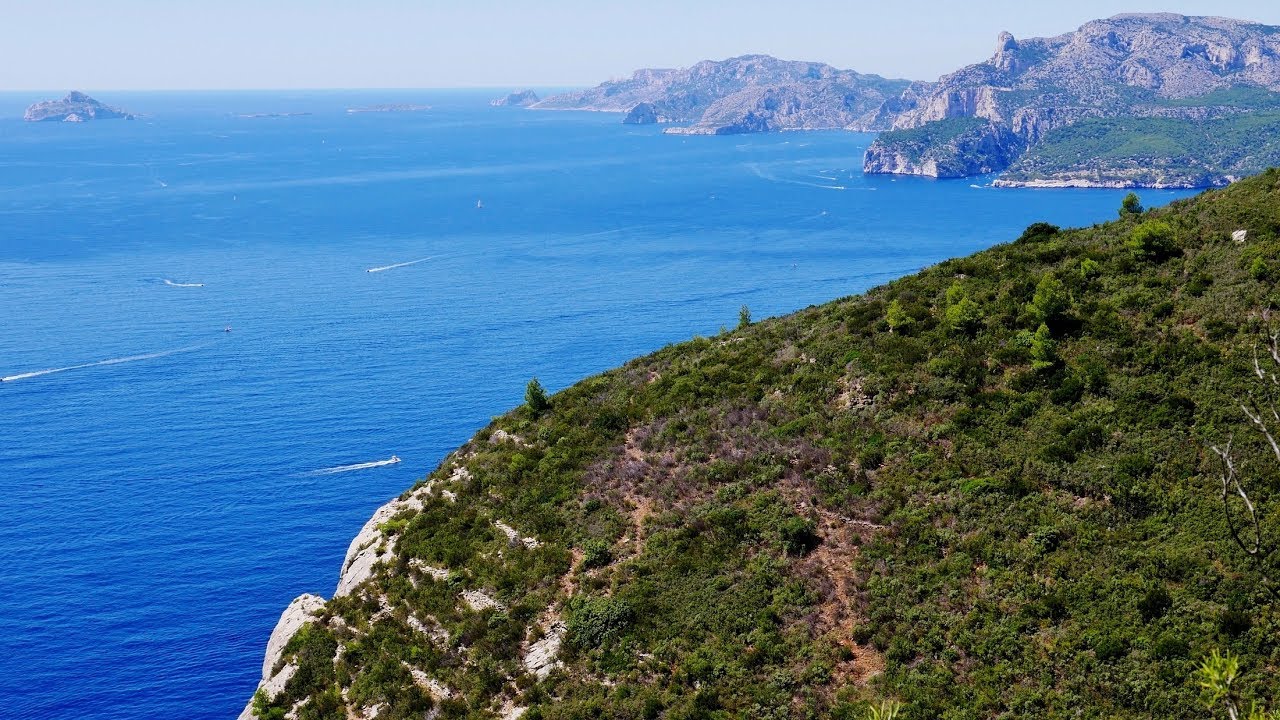
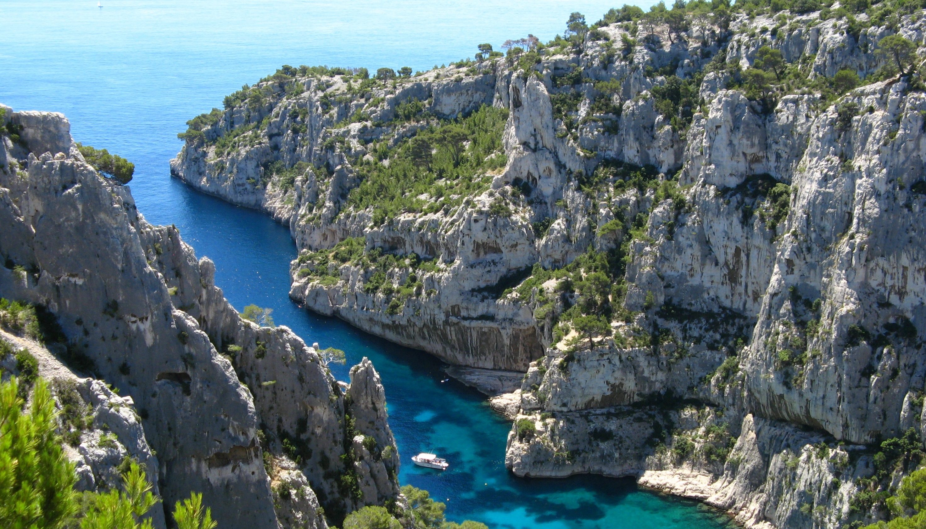
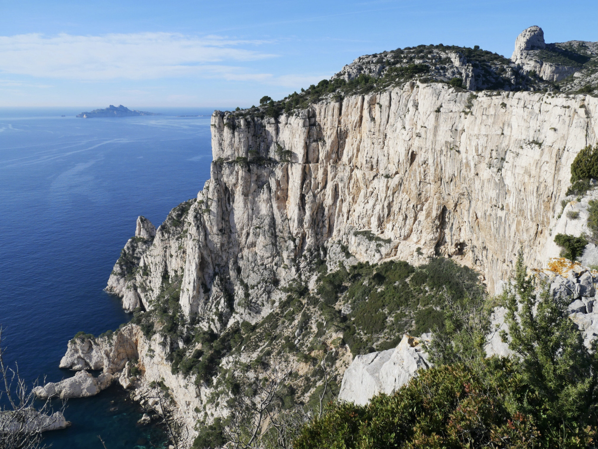
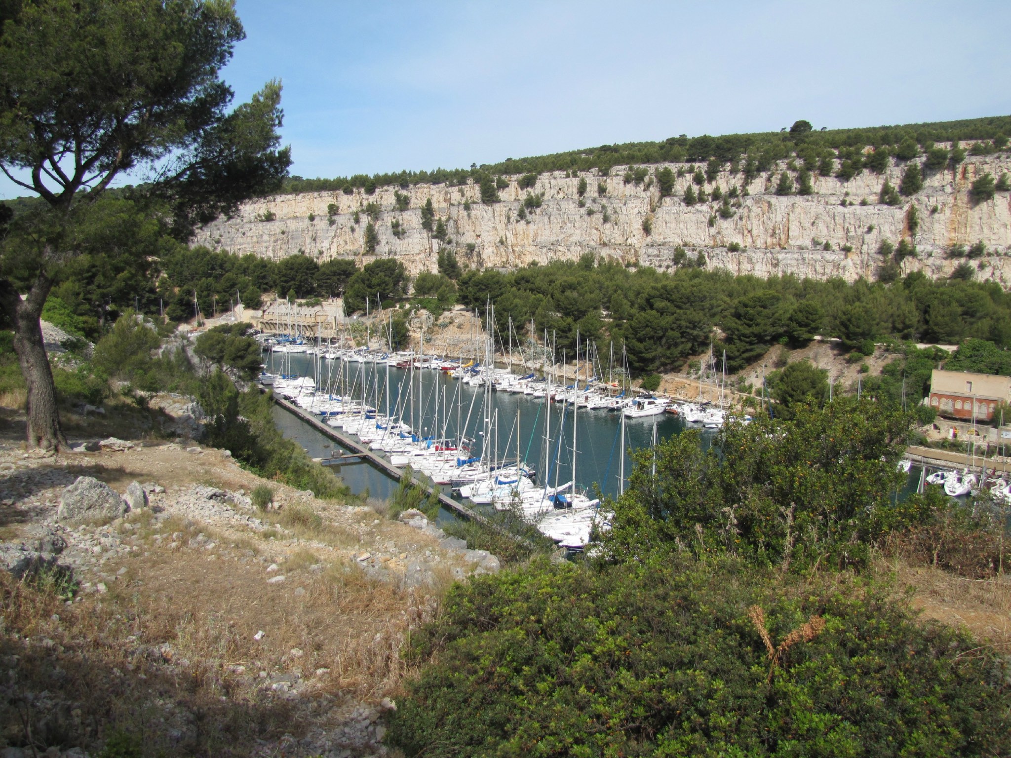
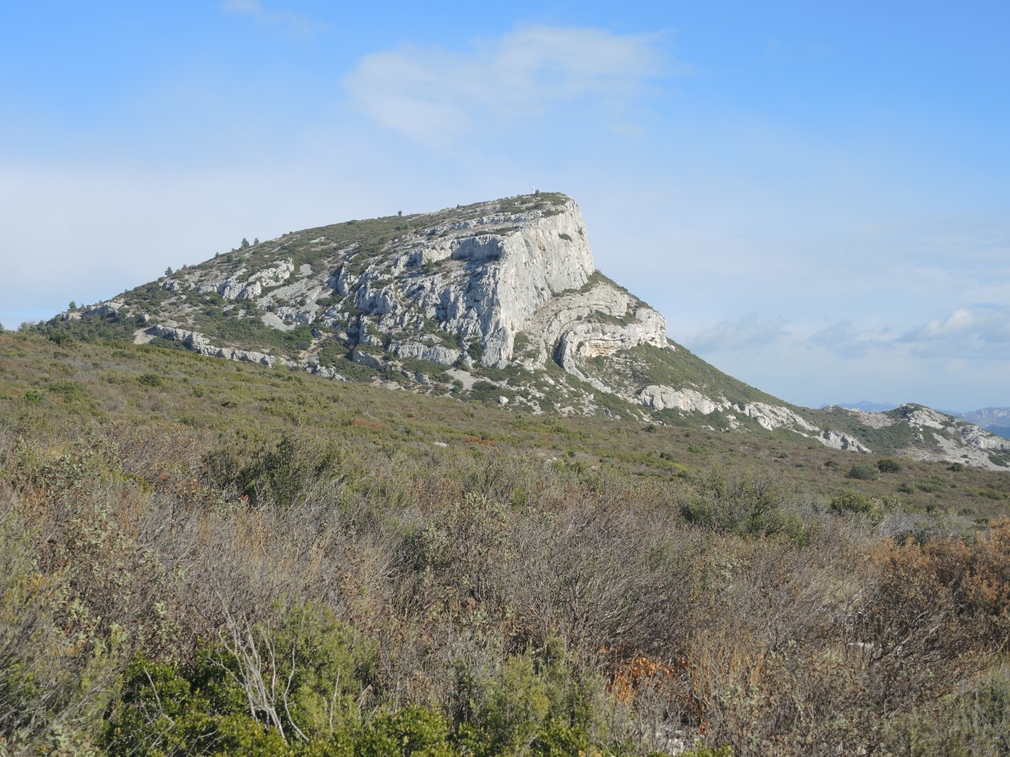
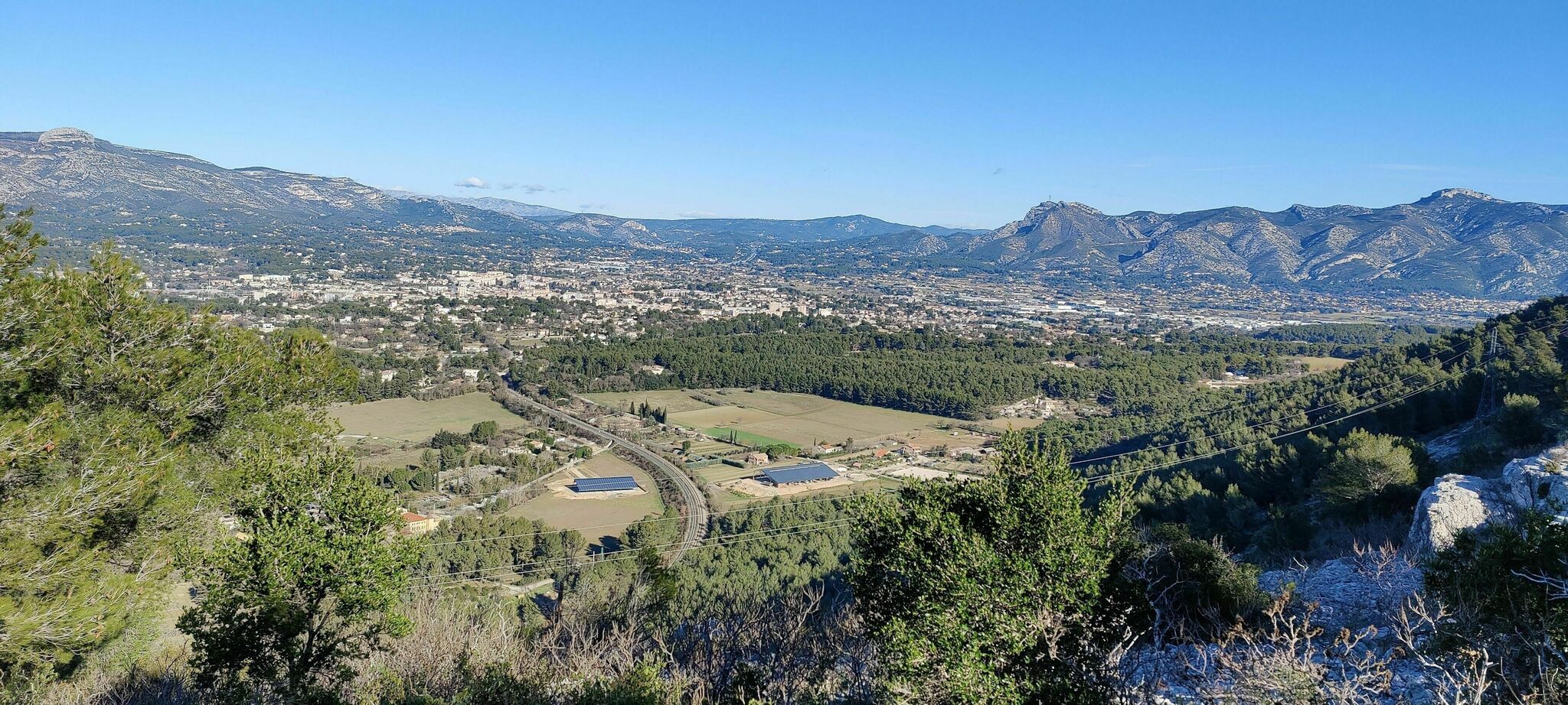
Departing from Carnoux-en-Provence, this trail takes you to the Languilard plateau, whose belvedere offers a nice panorama over Aubagne and the Garlaban.

Already more than 200,000 users!
Uphill
251m
Highest point
342m
Downhill
251m
Lowest point
116m
Route type
Loop
Download the map on your smartphone to save battery and rest assured to always keep access to the route, even without signal.
Includes IGN France and Swisstopo.
I indicate whether dogs are allowed or prohibited on this trail
All year
3 ratings
Also enjoy:

Already more than 200,000 users!