Uphill
619m
France > Provence-Alpes-Côte d'Azur > Bouches-du-Rhône > Calanques National Park
Length
9km
Duration
5h
Elev gain
619m
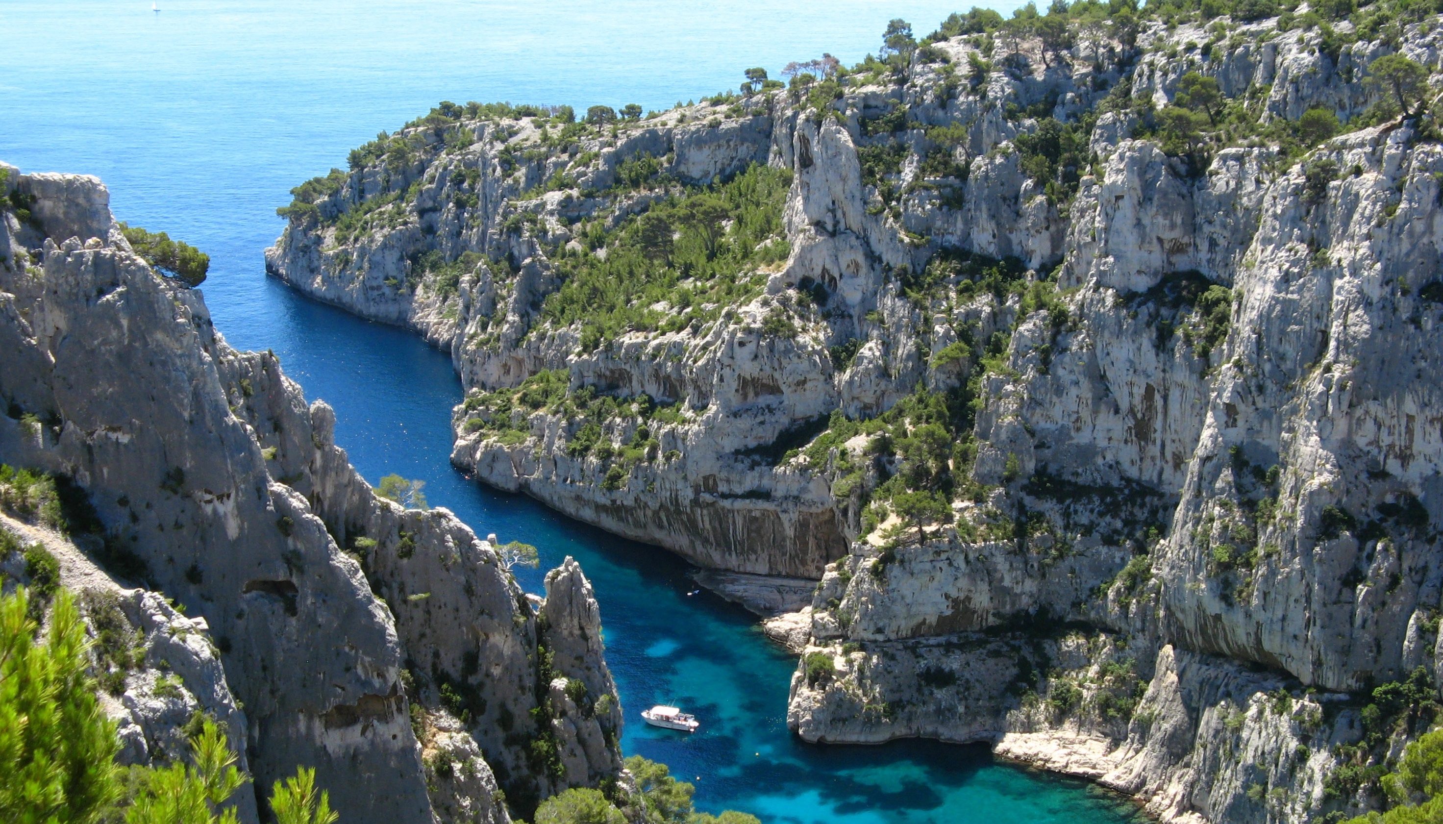
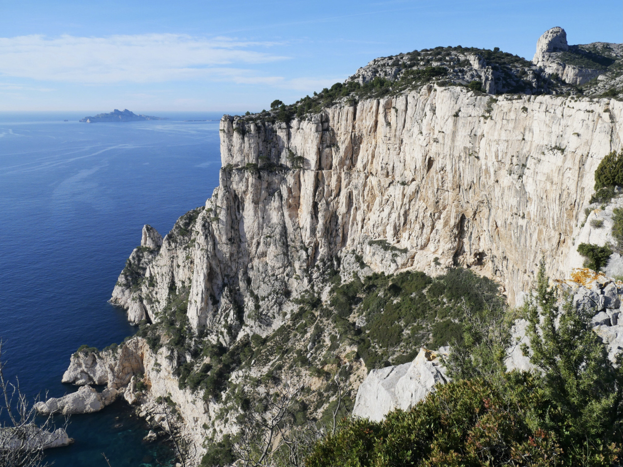
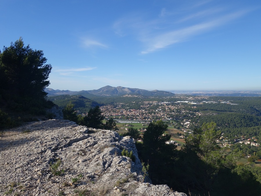
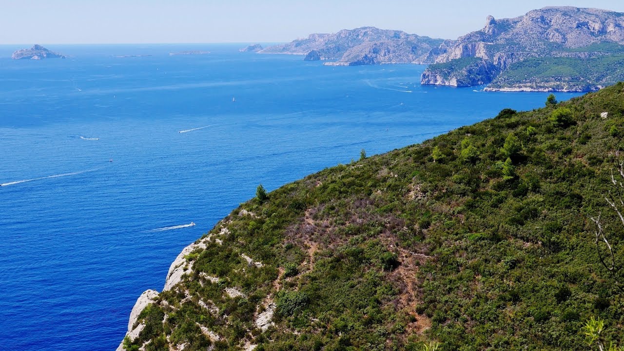
This trail runs along the highest sea cliff in France, 396 meters above the sea, between la Ciotat and Cassis. Stunning views.

Already more than 200,000 users!
Uphill
619m
Highest point
381m
Downhill
838m
Lowest point
8m
Route type
One way
Download the map on your smartphone to save battery and rest assured to always keep access to the route, even without signal.
Includes IGN France and Swisstopo.
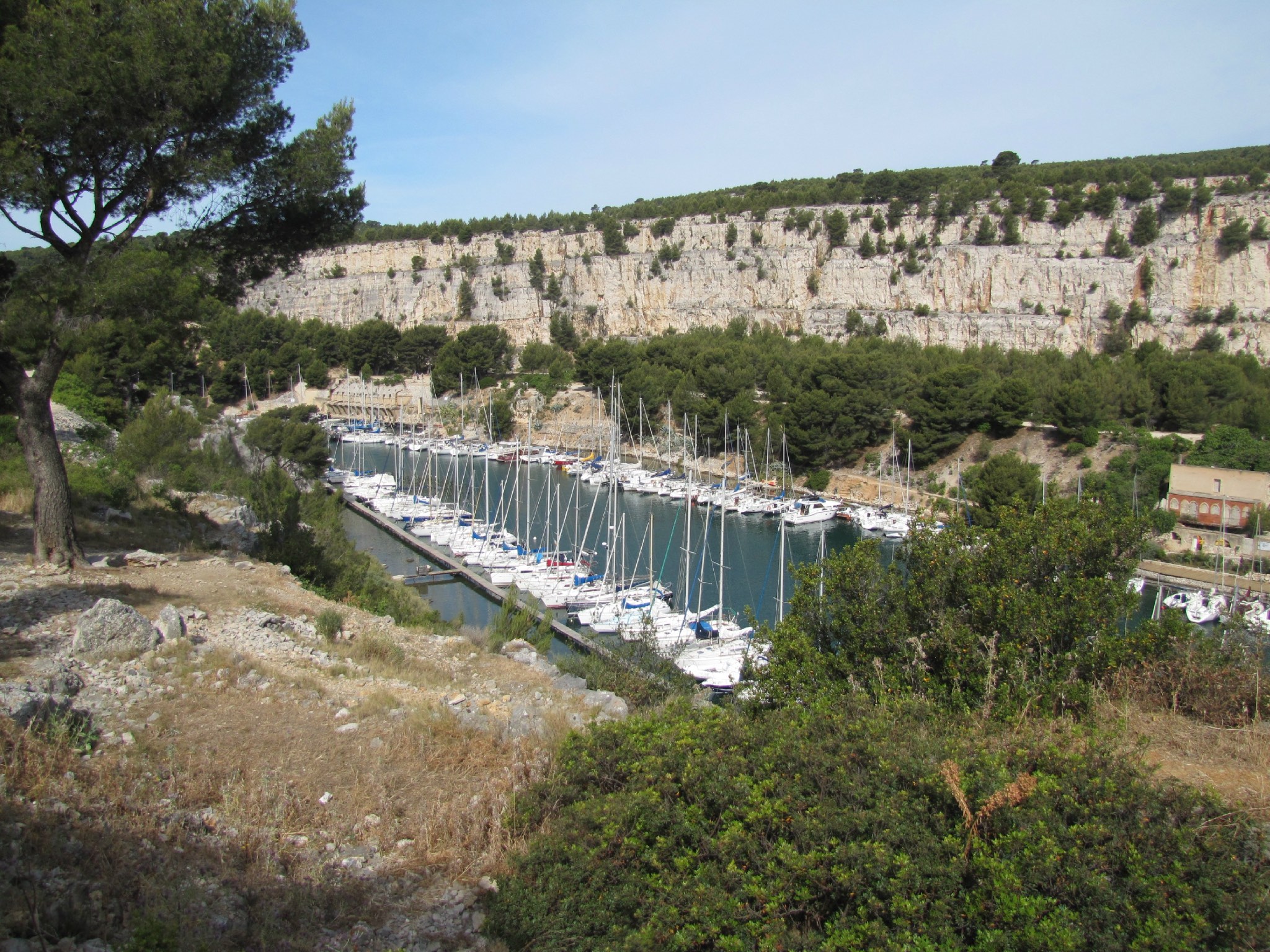
Start from Cassis: parking du pas de la Colle.
Start from La Ciotat: parking de la calanque de Figuerolles.
1 rating
Also enjoy:

Already more than 200,000 users!