Uphill
391m
Length
9km
Duration
3h30min
Elev gain
391m
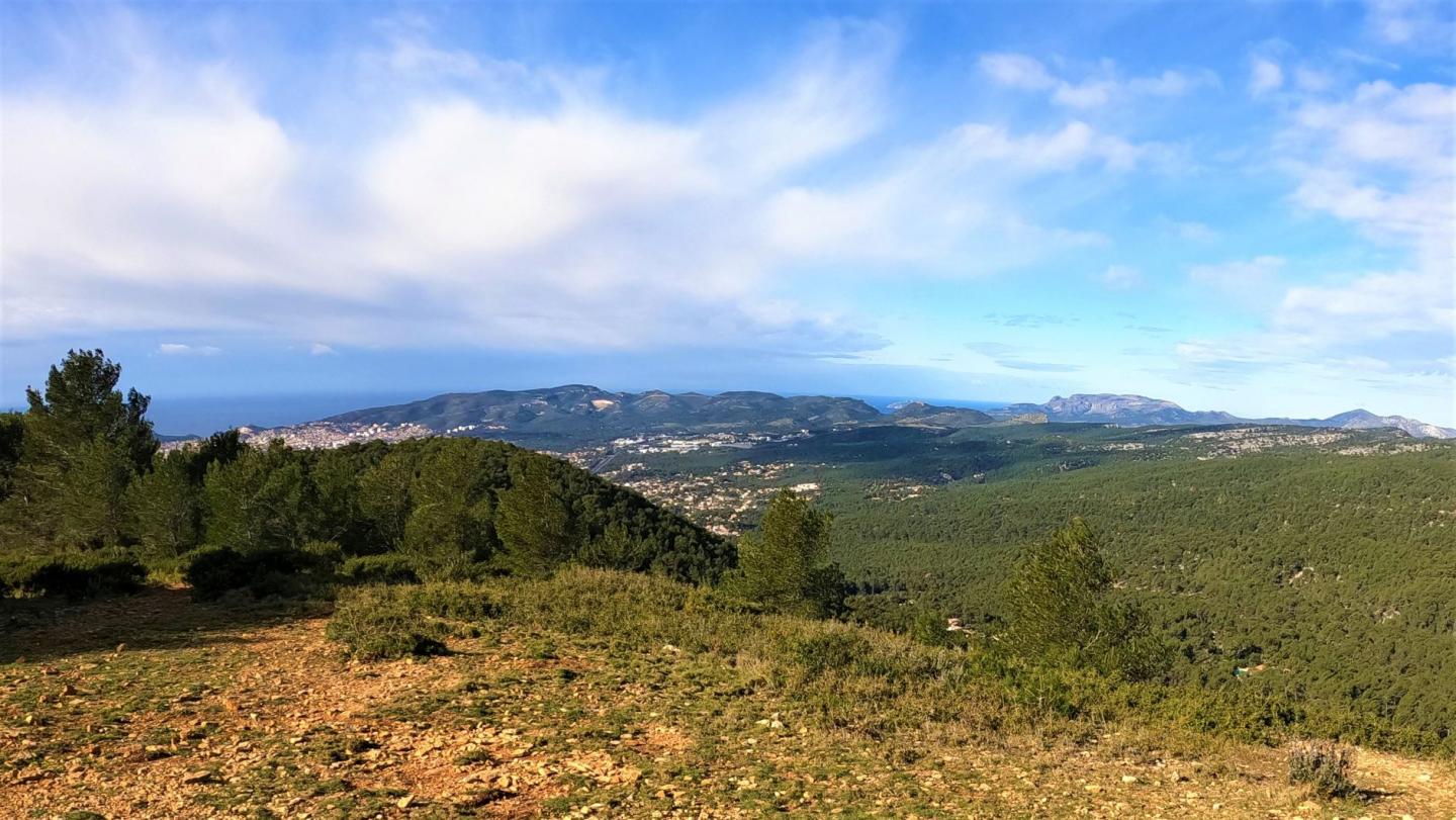
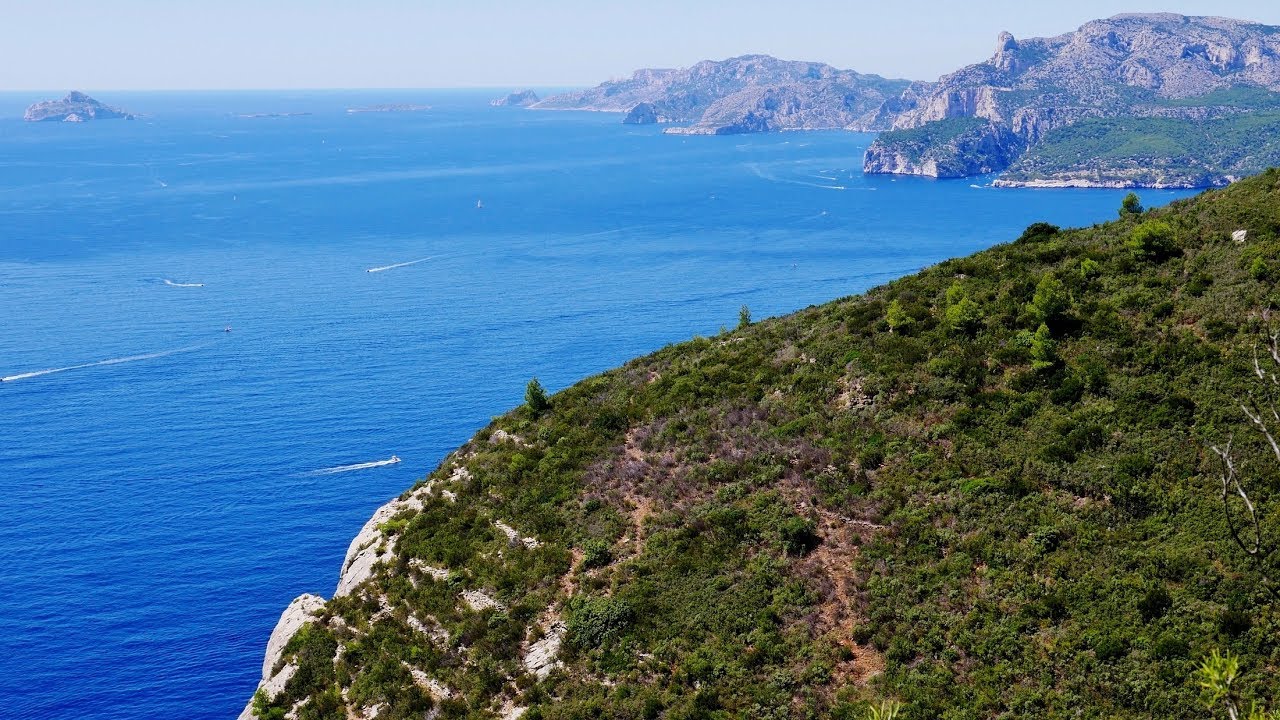
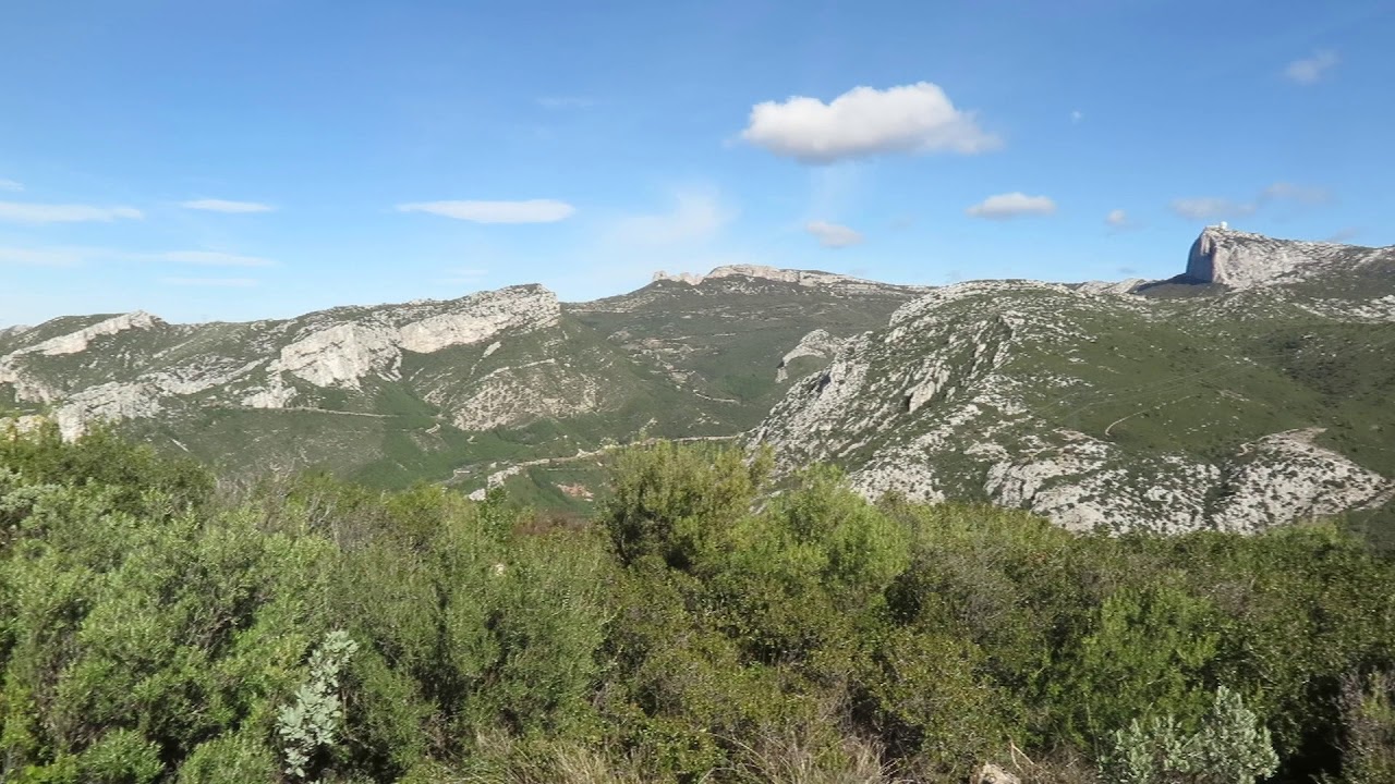
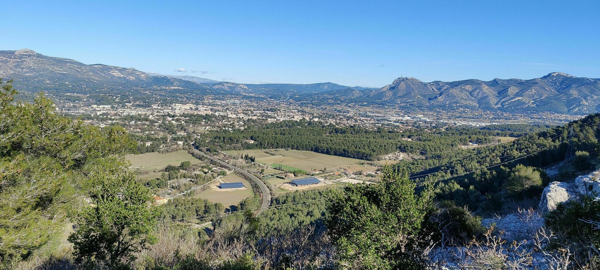
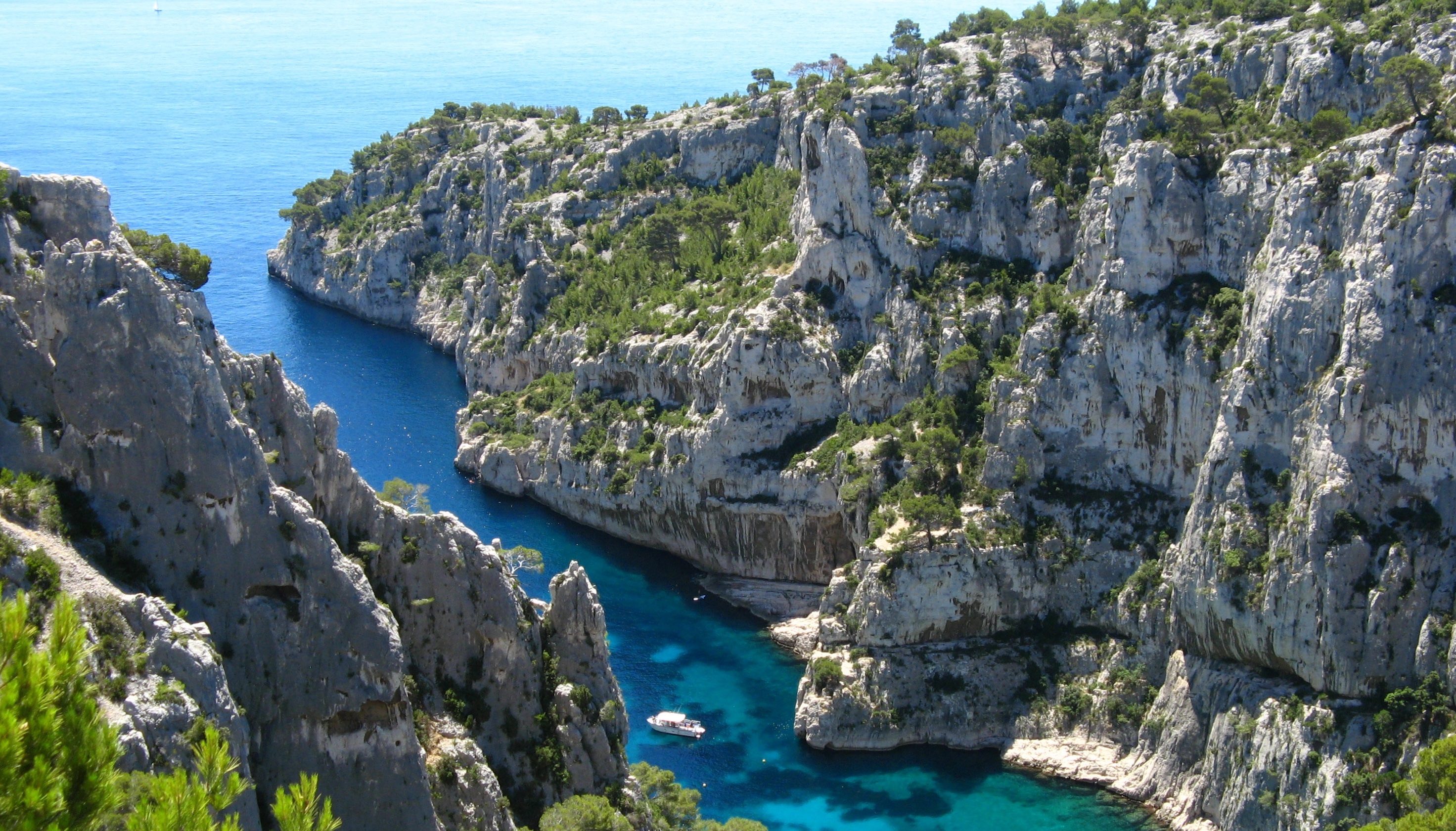
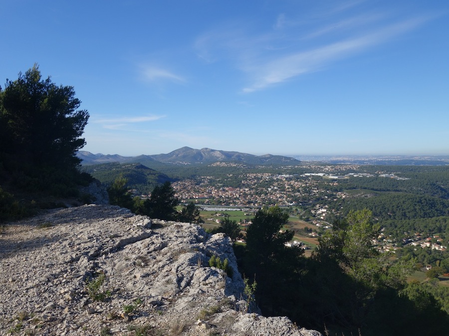
There and back trail to the Bédoule refuge, otherwise known as the Cabanon des Gardes. It offers a nice view over the bay of La Ciotat and the Sainte-Baume massif.

Already more than 200,000 users!
Uphill
391m
Highest point
473m
Downhill
391m
Lowest point
102m
Route type
There and back
Download the map on your smartphone to save battery and rest assured to always keep access to the route, even without signal.
Includes IGN France and Swisstopo.
I indicate whether dogs are allowed or prohibited on this trail
All year
0 ratings
Also enjoy:

Already more than 200,000 users!