Uphill
454m
France > Provence-Alpes-Côte d'Azur > Bouches-du-Rhône > Sainte-Baume Regional Natural Park
Length
11km
Duration
4h
Elev gain
454m
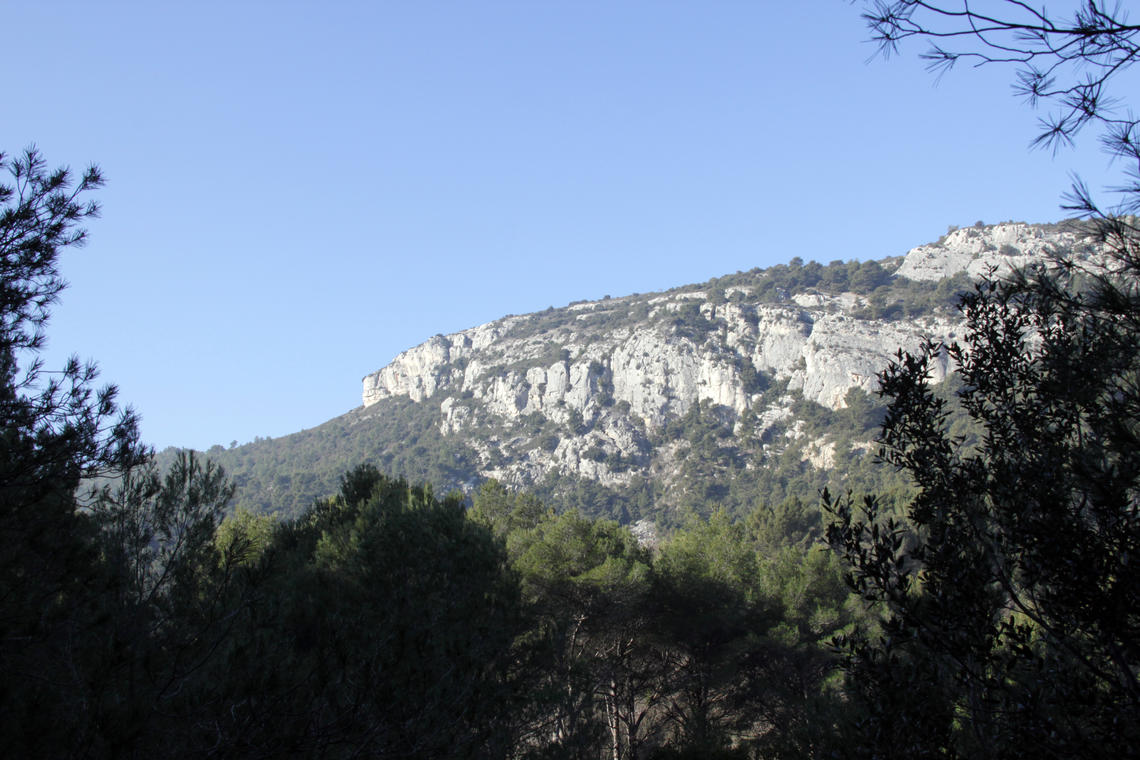
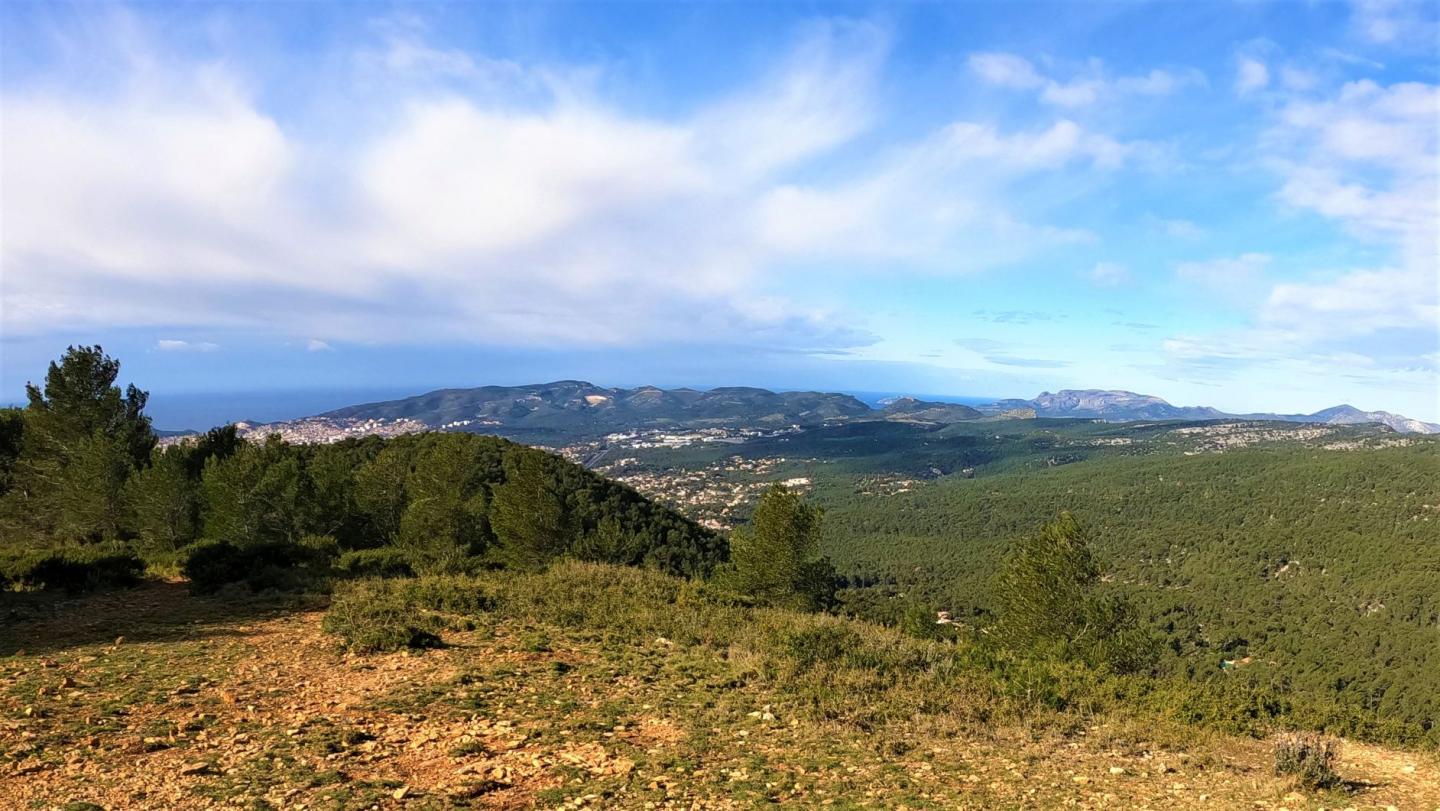
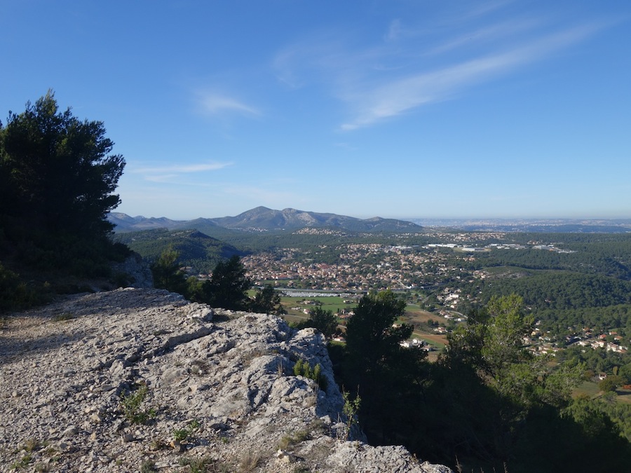
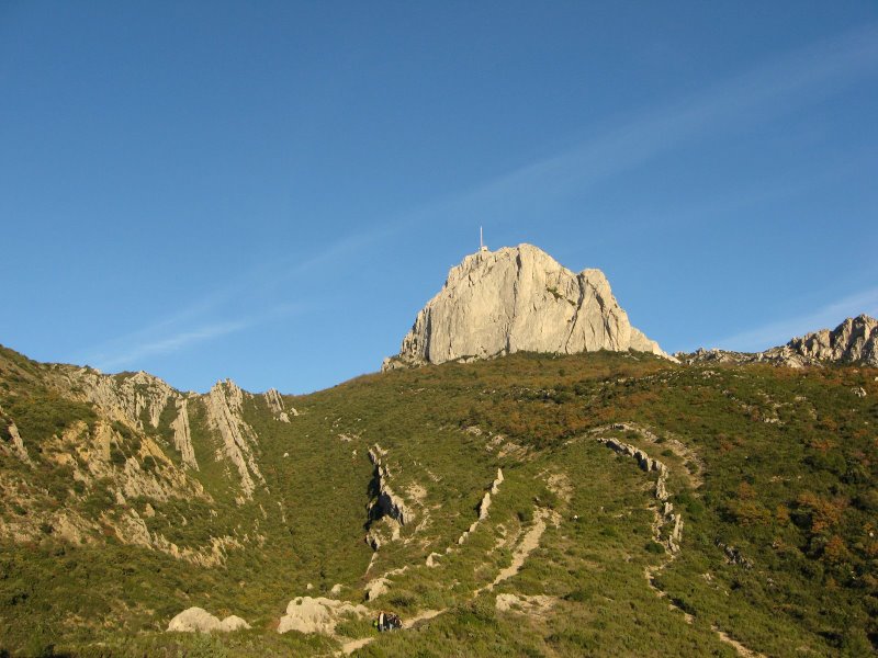
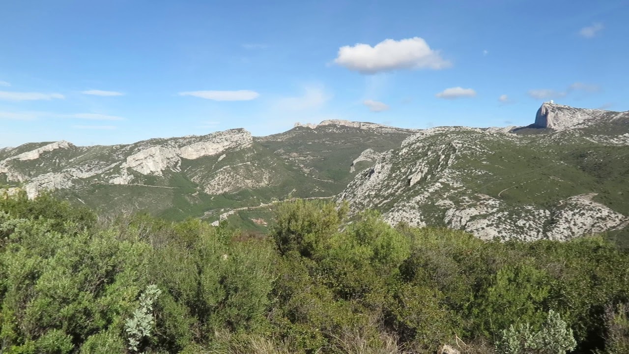
Departing from Gemenos, the Limbert trail joins Mont Cruvelier (574 m), which offers a magnificent panorama over the bay of Marseille, the Sainte-Baume massif, and the Garlaban.
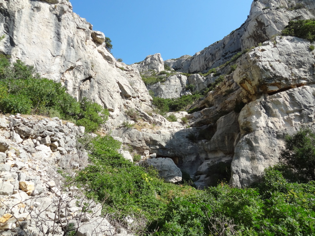
The rest of the walk takes place in the departmental park of the Saint Pons valley, on the banks of the Fauge.

Already more than 200,000 users!
Uphill
454m
Highest point
572m
Downhill
454m
Lowest point
132m
Route type
Loop
Download the map on your smartphone to save battery and rest assured to always keep access to the route, even without signal.
Includes IGN France and Swisstopo.
I indicate whether dogs are allowed or prohibited on this trail
All year
0 ratings
Also enjoy:

Already more than 200,000 users!