Uphill
249m
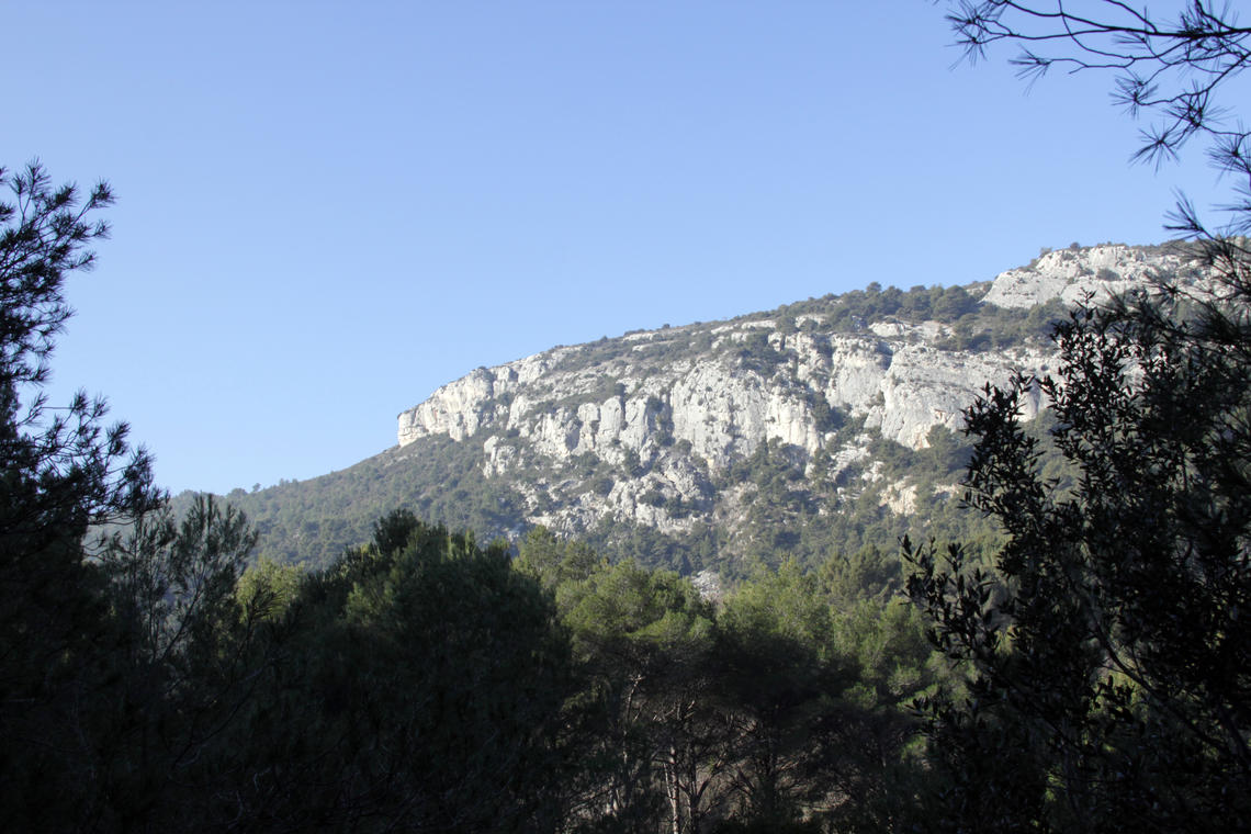
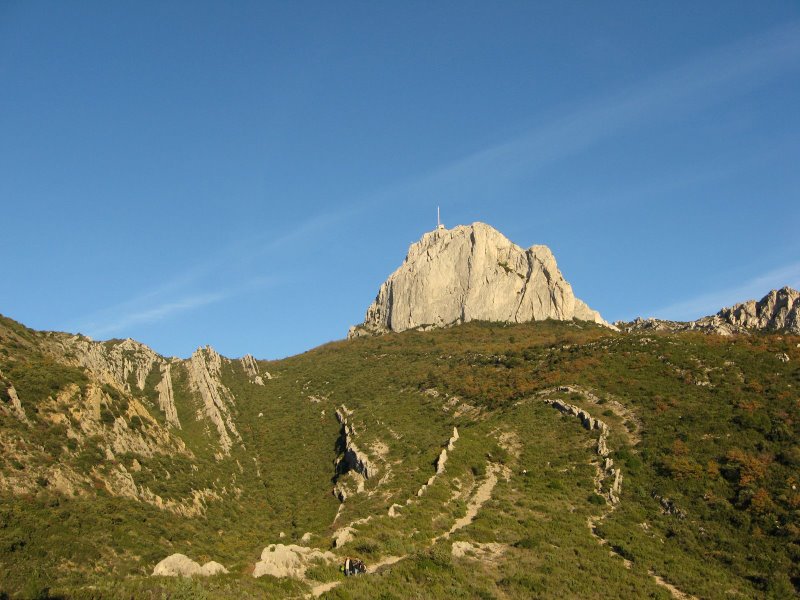
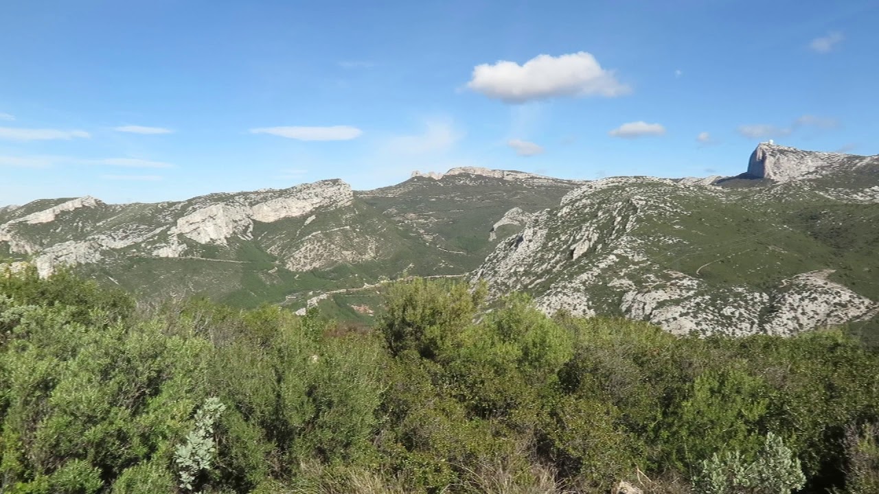
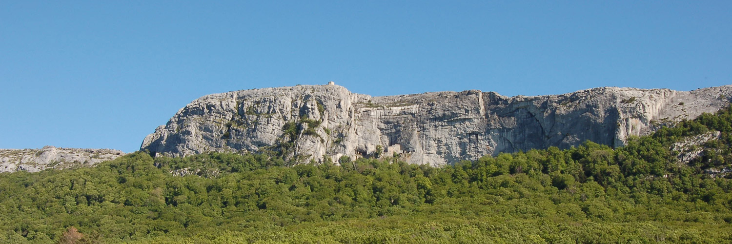
France > Provence-Alpes-Côte d'Azur > Bouches-du-Rhône > Sainte-Baume Regional Natural Park
Length
9km
Duration
3h
Elev gain
249m
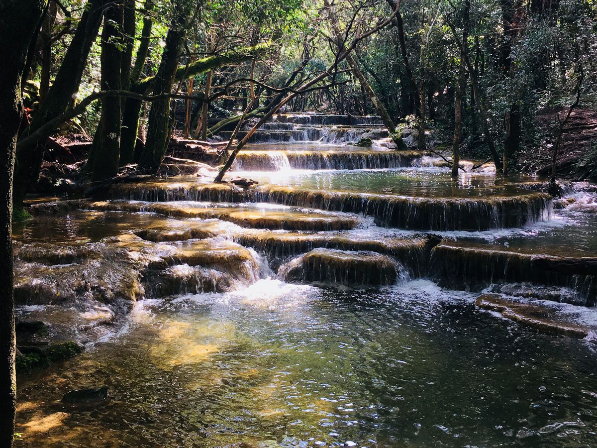
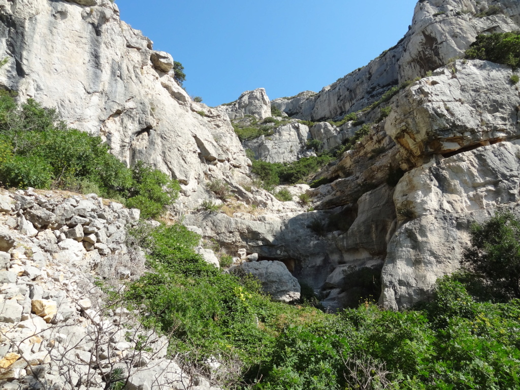
Hike in the beautiful landscapes of the Sainte-Baume massif. The route makes a loop and offers beautiful views of the surrounding villages.

Already more than 200,000 users!
Uphill
249m
Highest point
476m
Downhill
249m
Lowest point
245m
Route type
Loop
Download the map on your smartphone to save battery and rest assured to always keep access to the route, even without signal.
Includes IGN France and Swisstopo.
I indicate whether dogs are allowed or prohibited on this trail
All year
0 ratings
Also enjoy:

Already more than 200,000 users!