Uphill
544m
France > Provence-Alpes-Côte d'Azur > Bouches-du-Rhône
Length
11km
Duration
4h30min
Elev gain
544m
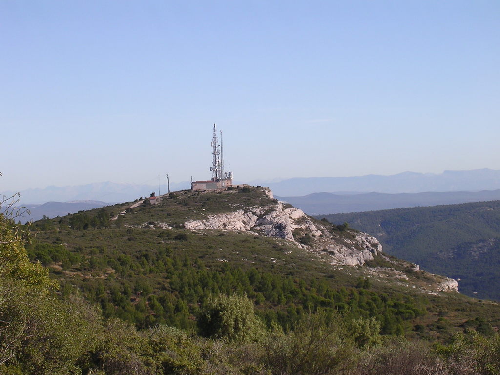
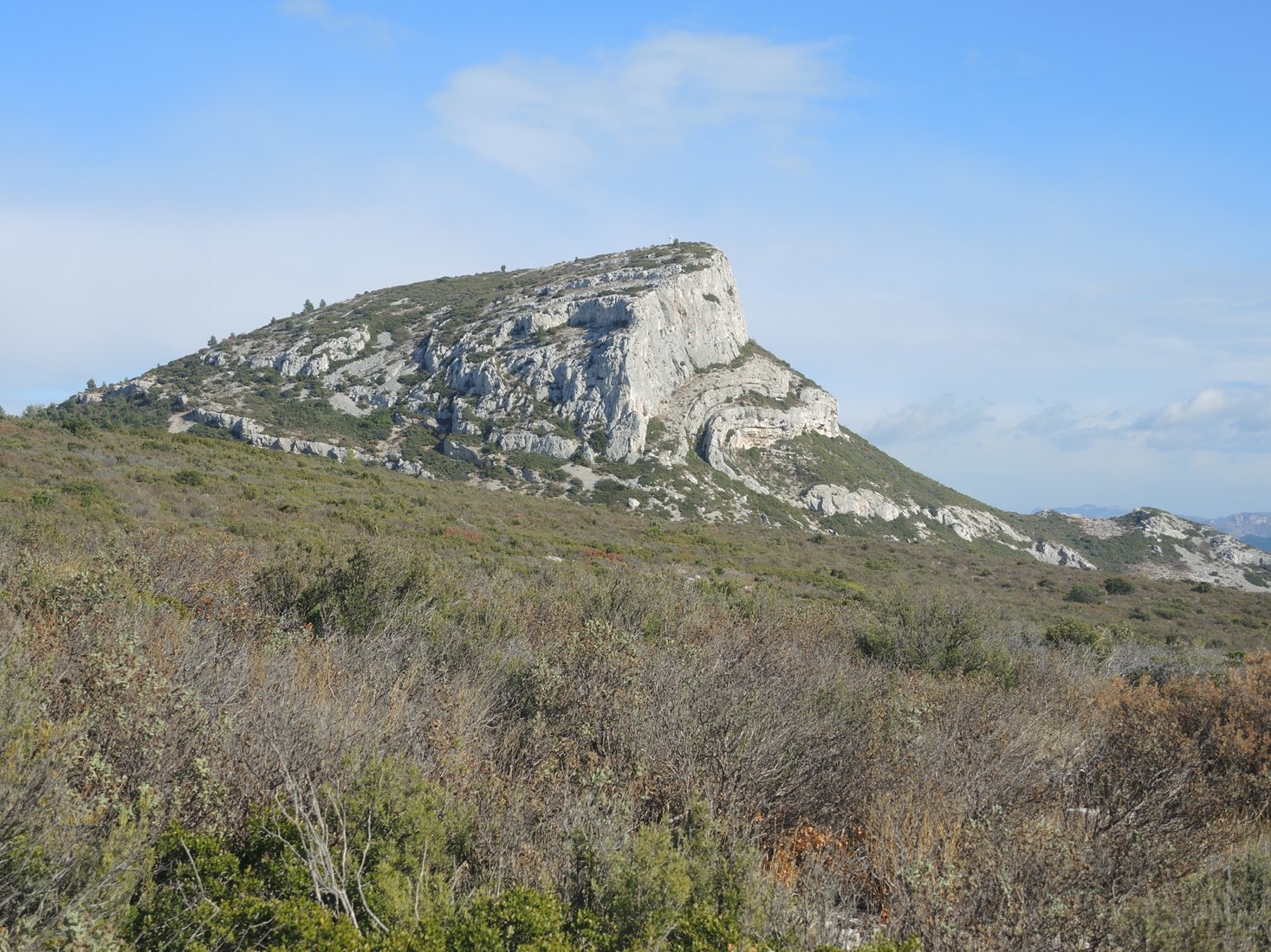
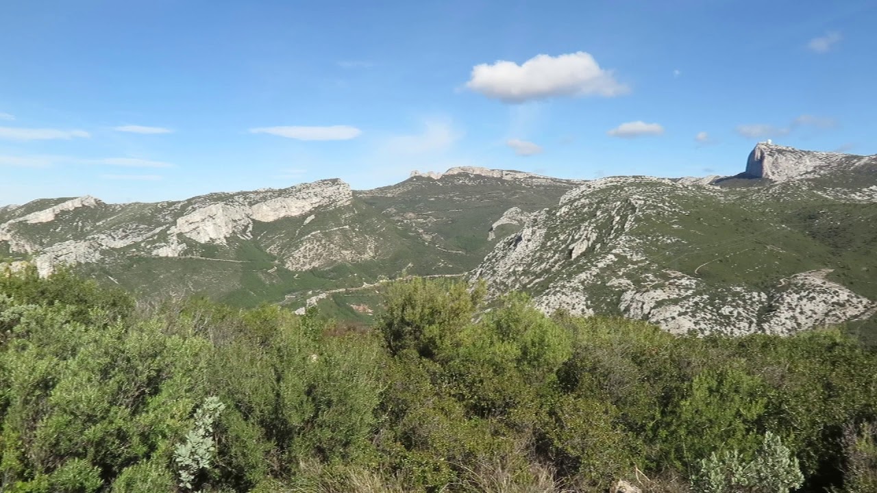
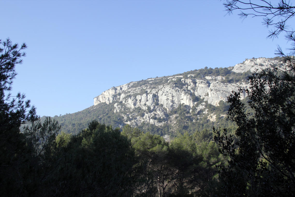
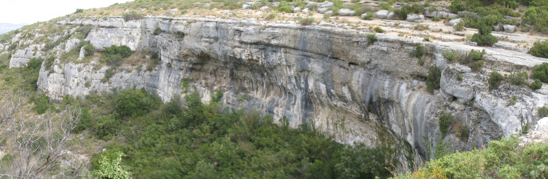
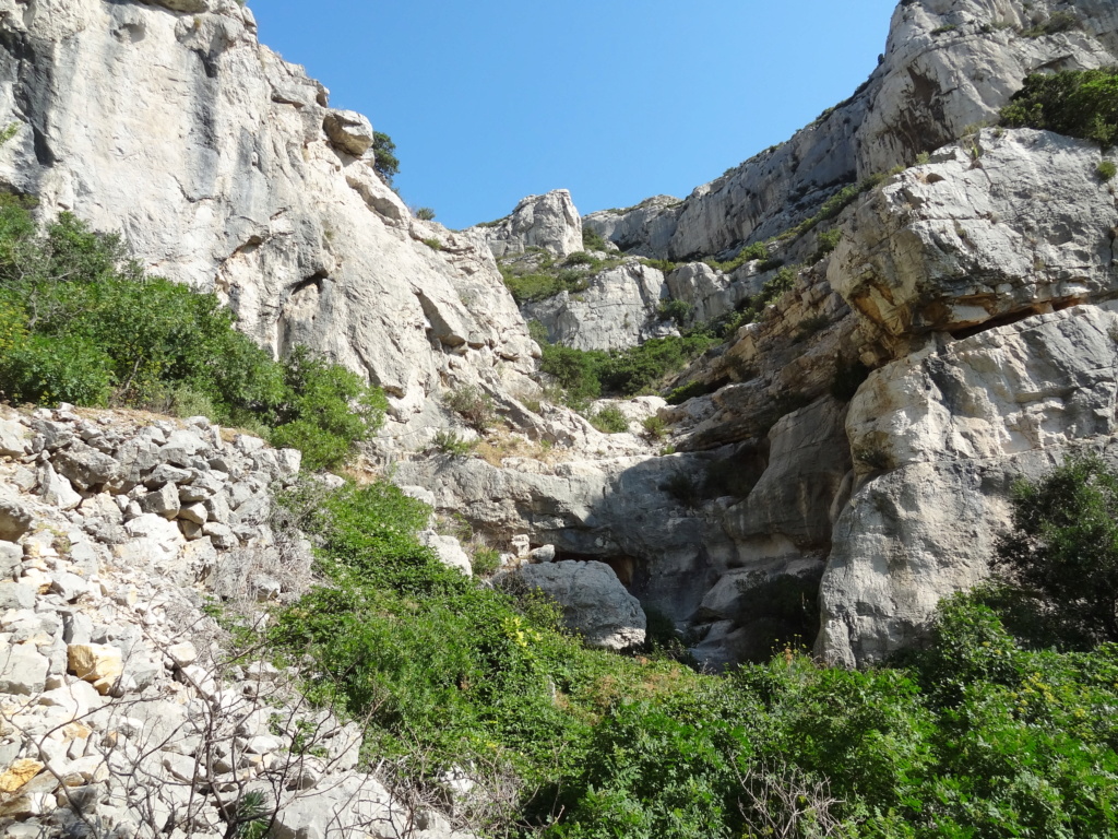
Short loop in a valley of the Garlaban massif, with dense vegetation.

Already more than 200,000 users!
Uphill
544m
Highest point
675m
Downhill
544m
Lowest point
216m
Route type
Loop
Download the map on your smartphone to save battery and rest assured to always keep access to the route, even without signal.
Includes IGN France and Swisstopo.
I indicate whether dogs are allowed or prohibited on this trail
All year
1 rating
Also enjoy:

Already more than 200,000 users!