Uphill
473m
Length
13km
Duration
4h30min
Elev gain
473m
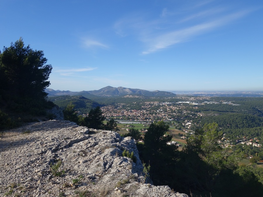
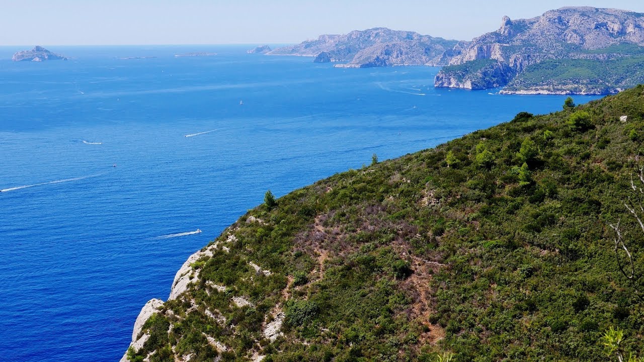
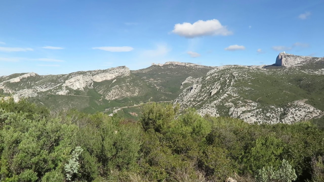
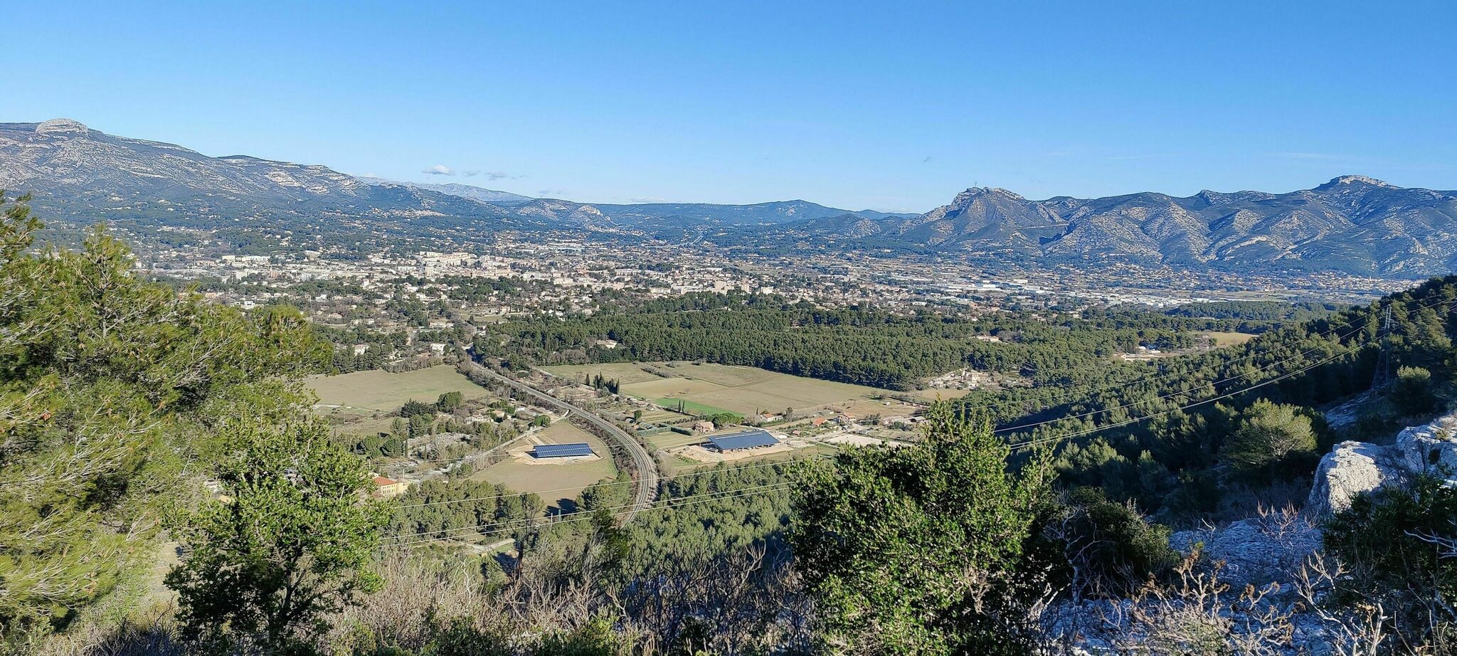
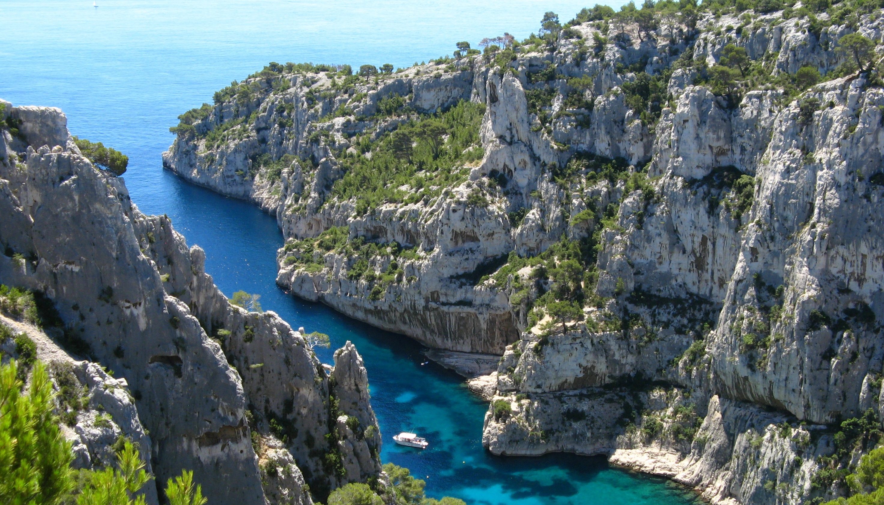
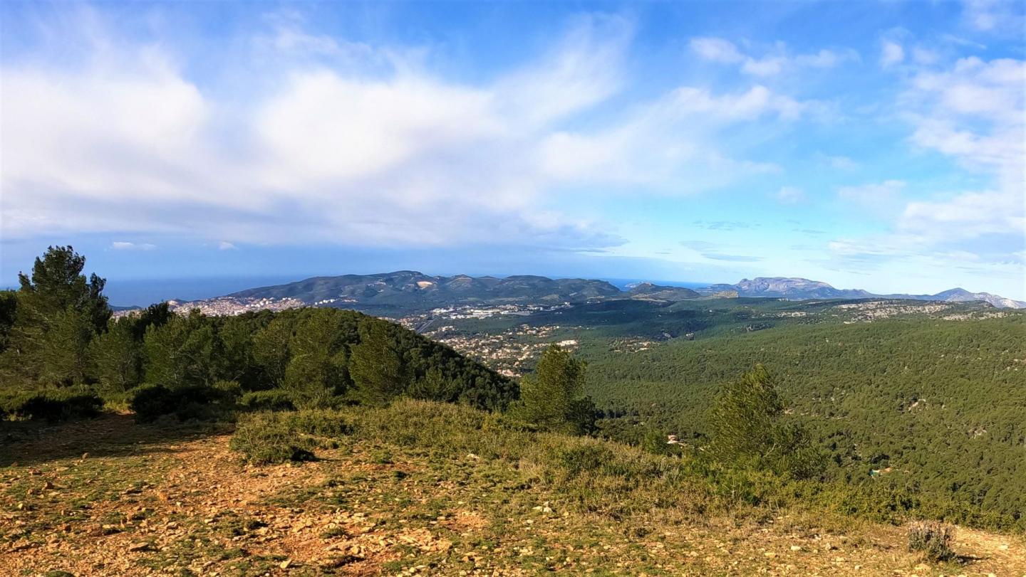
Here is a hike on the heights of Ceyreste. The route makes a loop in the pine forest and offers beautiful views of La Ciotat, the island of Embiez and even Marseille. The environment is natural and the landscapes varied.

Already more than 200,000 users!
Uphill
473m
Highest point
513m
Downhill
473m
Lowest point
97m
Route type
Loop
Download the map on your smartphone to save battery and rest assured to always keep access to the route, even without signal.
Includes IGN France and Swisstopo.
I indicate whether dogs are allowed or prohibited on this trail
All year
1 rating
Also enjoy:

Already more than 200,000 users!