Uphill
658m

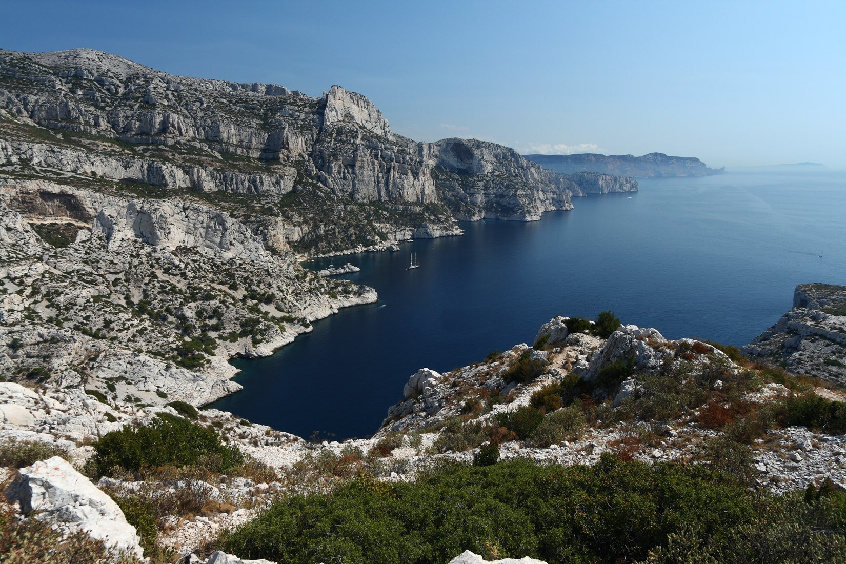
France > Provence-Alpes-Côte d'Azur > Bouches-du-Rhône > Calanques National Park
Length
11km
Duration
5h
Elev gain
658m
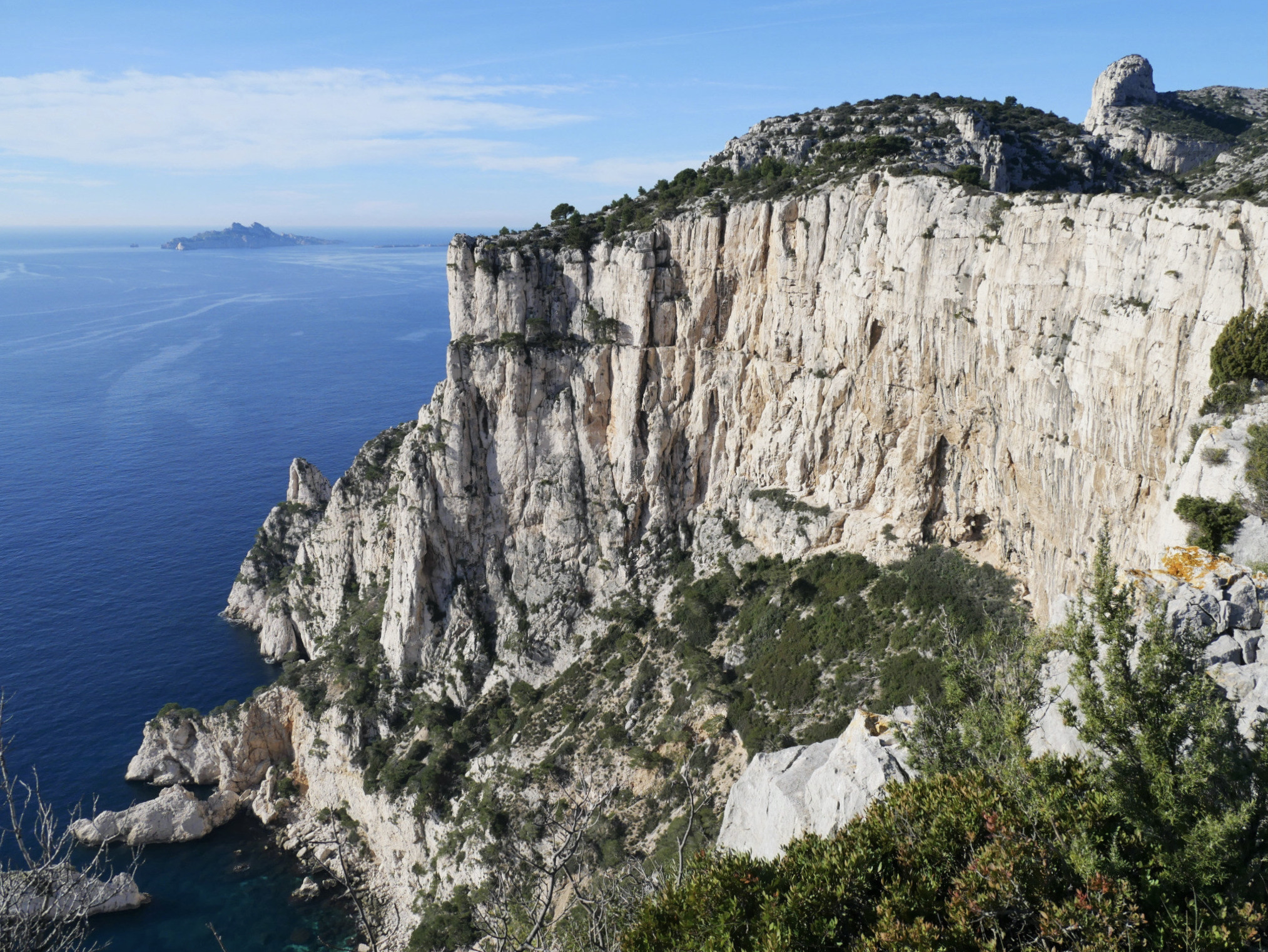
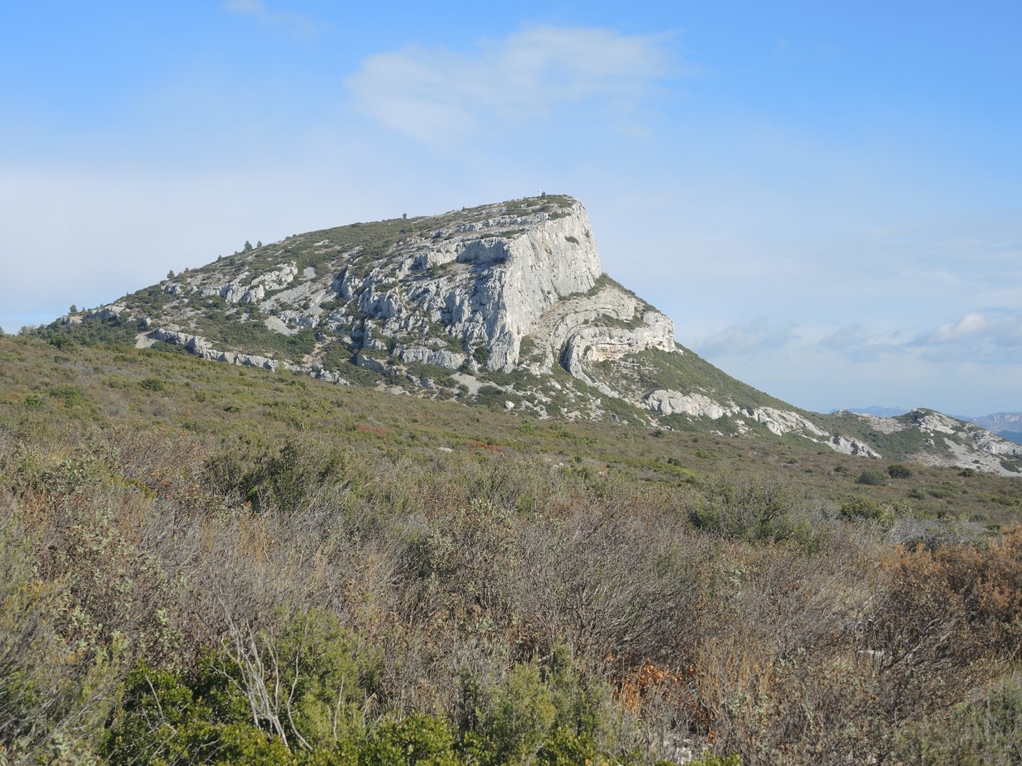
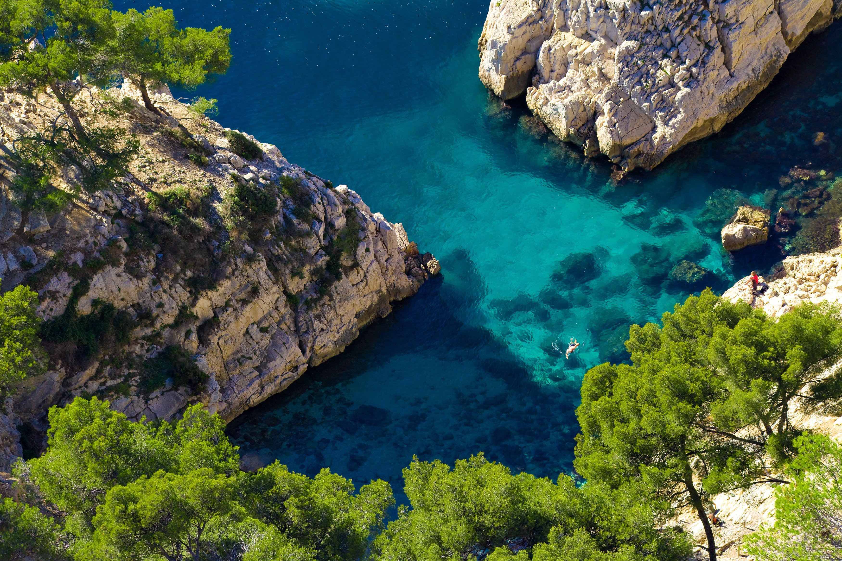
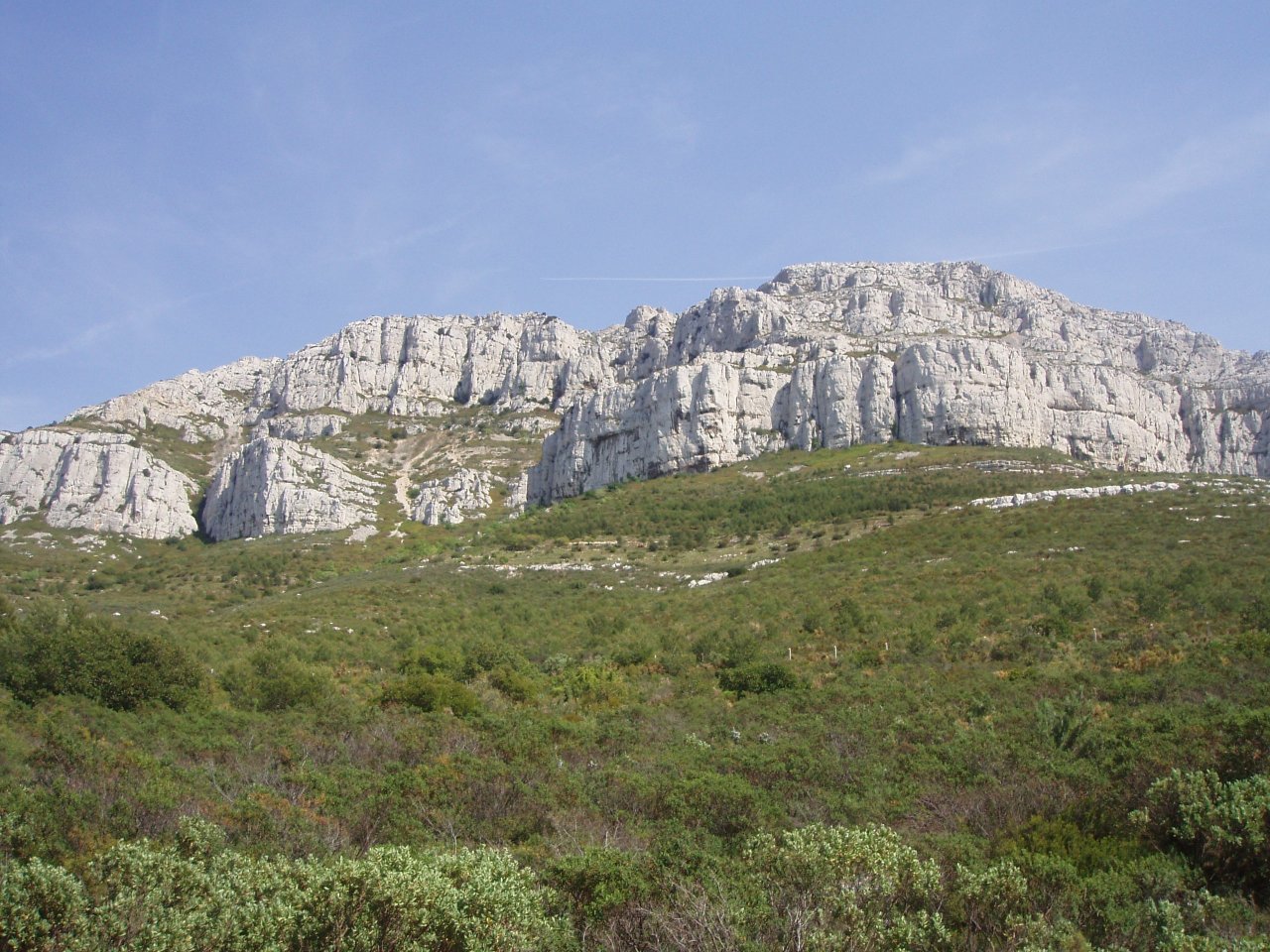
This trails goes up to the summit of Mont Carpiagne (645 meters), the highest point of the Saint-Cyr massif, before continuing via Mont Saint-Cyr (610 meters). Nice view of the Calanques and Marseille.

Already more than 200,000 users!
Uphill
658m
Highest point
639m
Downhill
658m
Lowest point
75m
Route type
Loop
Download the map on your smartphone to save battery and rest assured to always keep access to the route, even without signal.
Includes IGN France and Swisstopo.
Parking at the end of chemin du Vallon de la Barasse.
Gare de La Barasse nearby.
1 rating
Also enjoy:

Already more than 200,000 users!