Uphill
570m
Length
11km
Duration
4h30min
Elev gain
570m
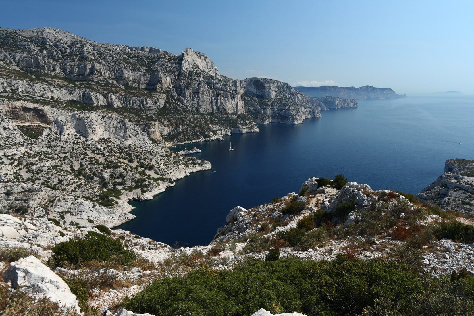
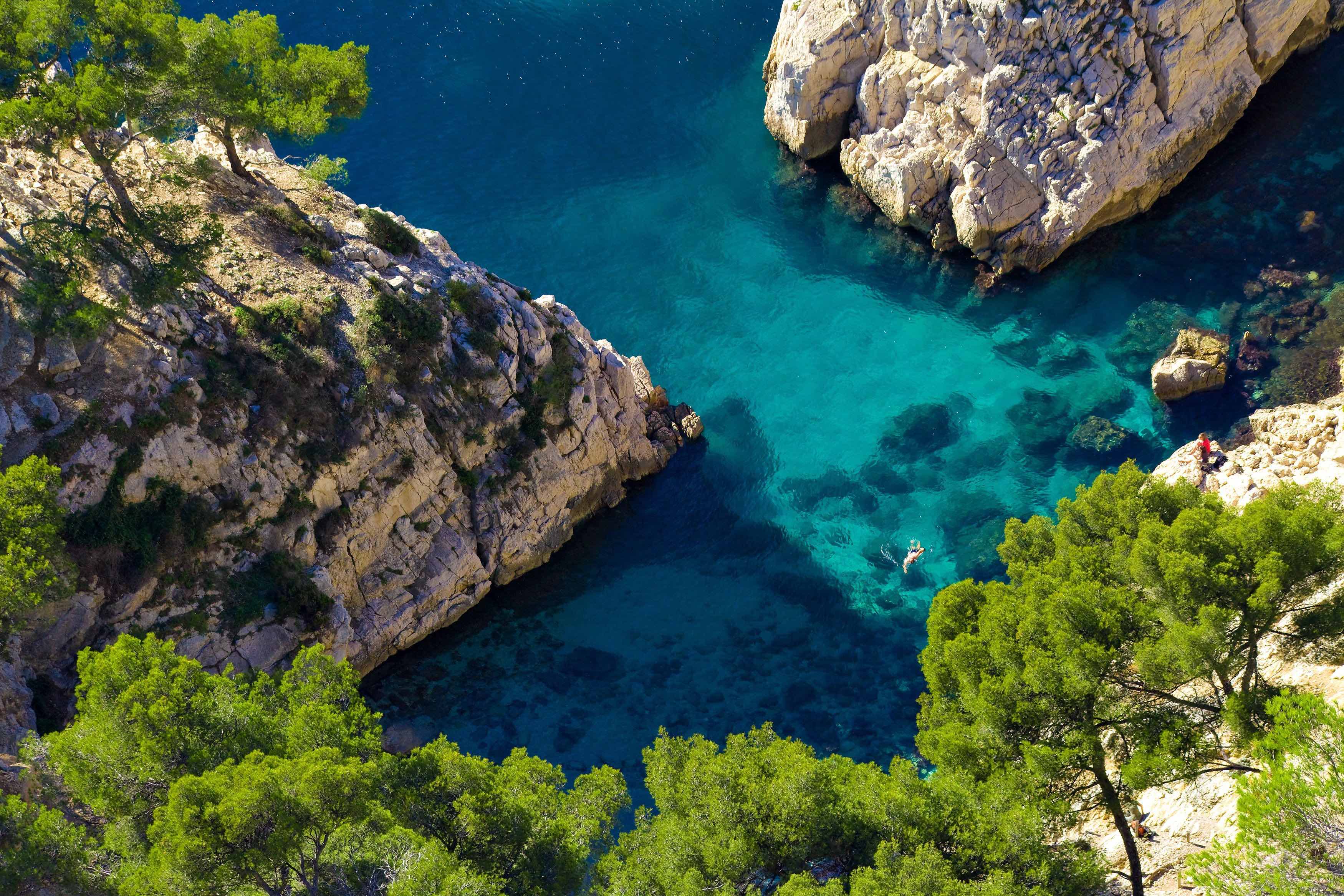
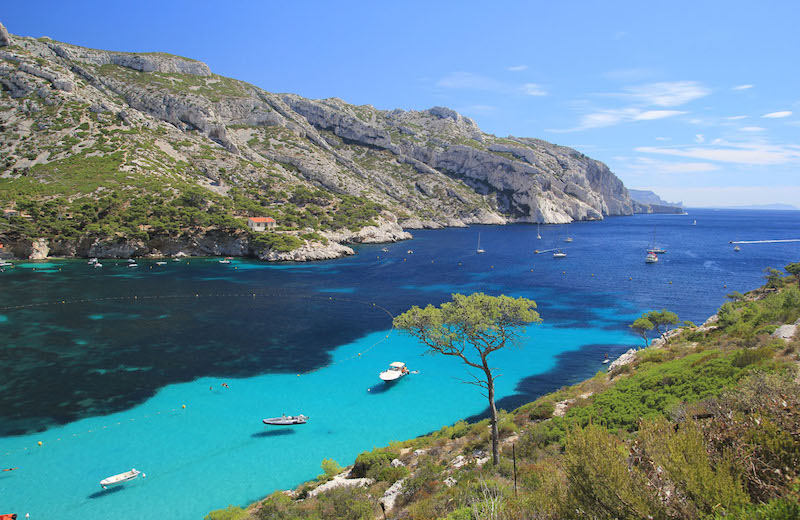
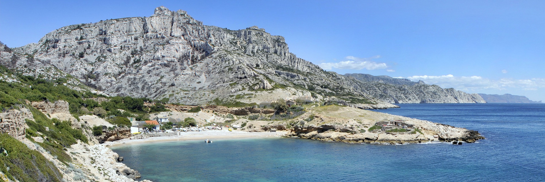
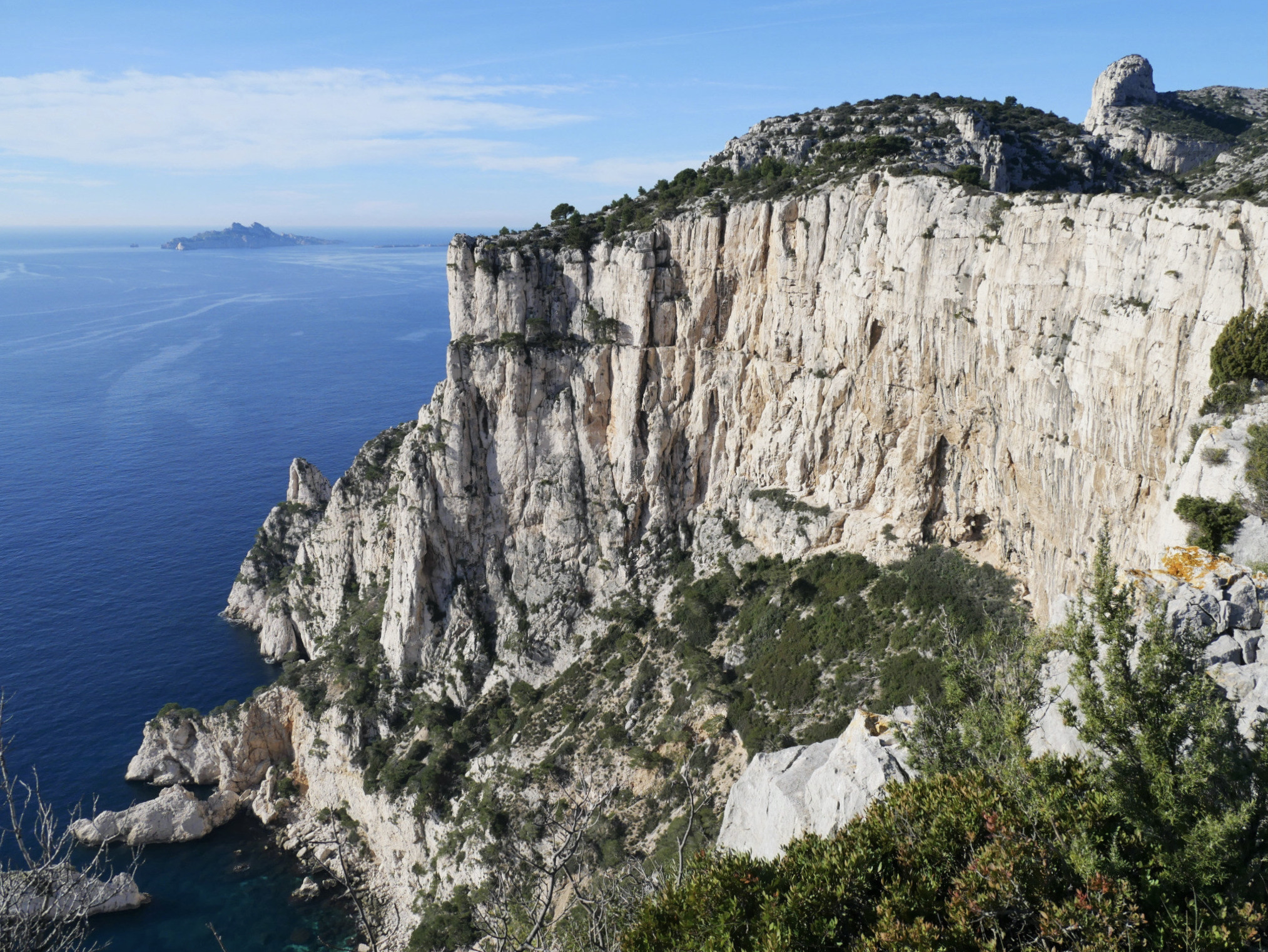
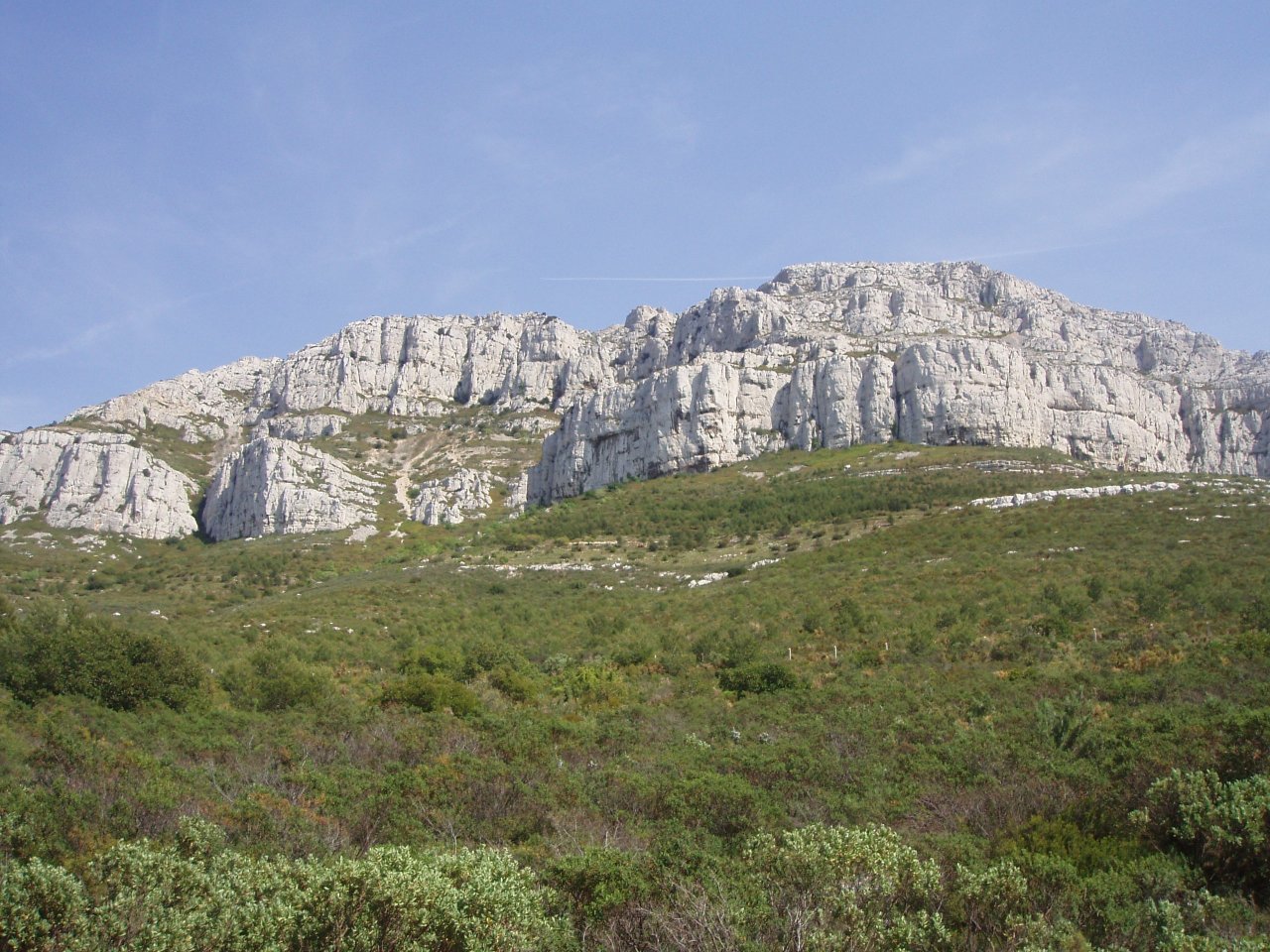
Departing from the Luminy campus, here is a trail with an elevation gain of about 500 meters, to reach the highest point of the Calanques massif (563 m). On arrival: a magnificent panorama of the Mediterranean Sea.

Already more than 200,000 users!
Uphill
570m
Highest point
570m
Downhill
570m
Lowest point
143m
Route type
Loop
Download the map on your smartphone to save battery and rest assured to always keep access to the route, even without signal.
Includes IGN France and Swisstopo.
I indicate whether dogs are allowed or prohibited on this trail
All year
0 ratings
Also enjoy:

Already more than 200,000 users!