Uphill
470m
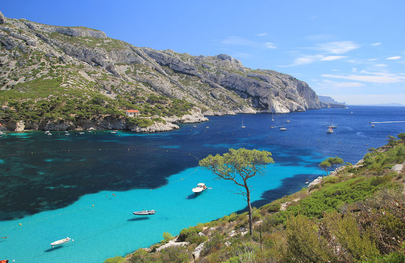
France > Provence-Alpes-Côte d'Azur > Bouches-du-Rhône > Calanques National Park
Length
8km
Duration
3h30min
Elev gain
470m
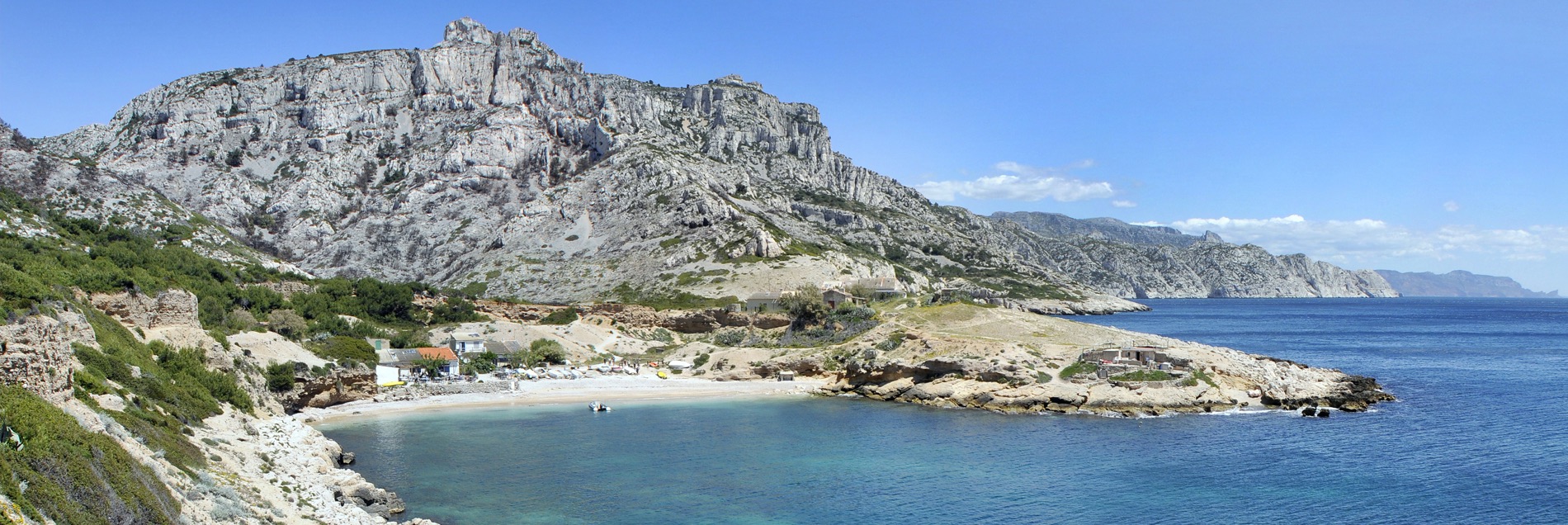
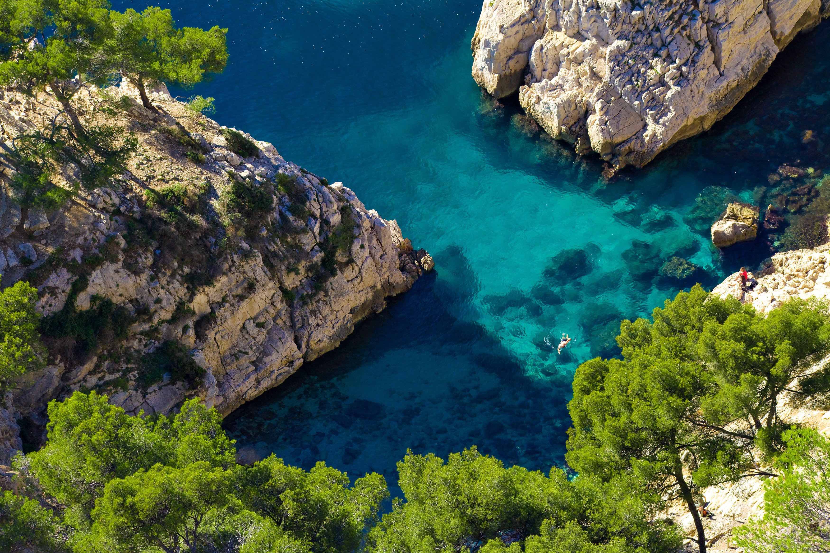
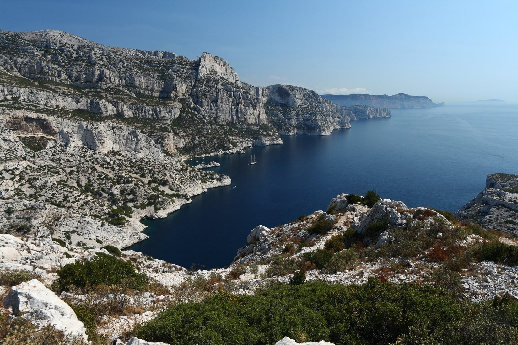
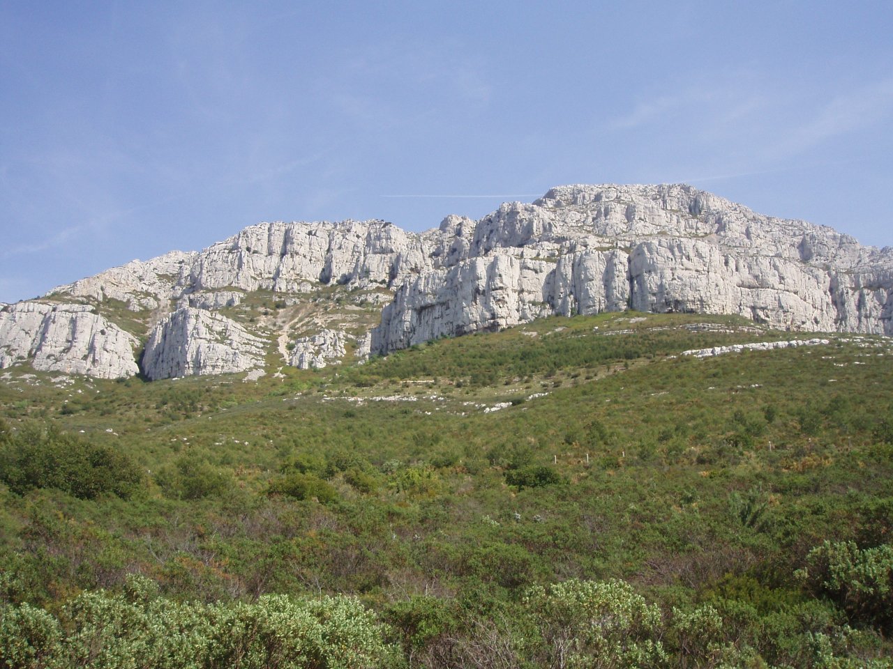
Departing from the Baumettes car park, this loop walk allows you to admire the Calanque de Sormiou from all angles, from Cap Redon to Baou Rond. It is the largest calanque in Marseille.

Already more than 200,000 users!
Uphill
470m
Highest point
267m
Downhill
470m
Lowest point
0m
Route type
Loop
Download the map on your smartphone to save battery and rest assured to always keep access to the route, even without signal.
Includes IGN France and Swisstopo.
6 ratings
Très belle randonnée, bien balisée avec des vues superbes sur la calanque de Sormiou. Attention 1 passage particulièrement délicat quand on descend sur la calanque ( descente en marche arrière sur 2-3 mètre).
Also enjoy:

Already more than 200,000 users!