Uphill
478m
Length
12km
Duration
4h30min
Elev gain
478m
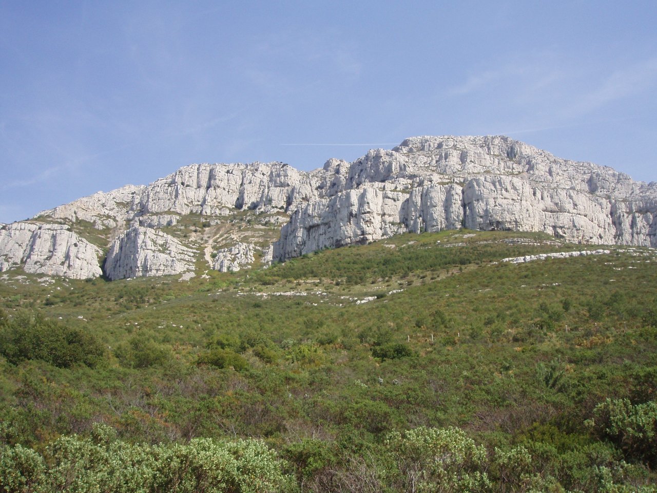
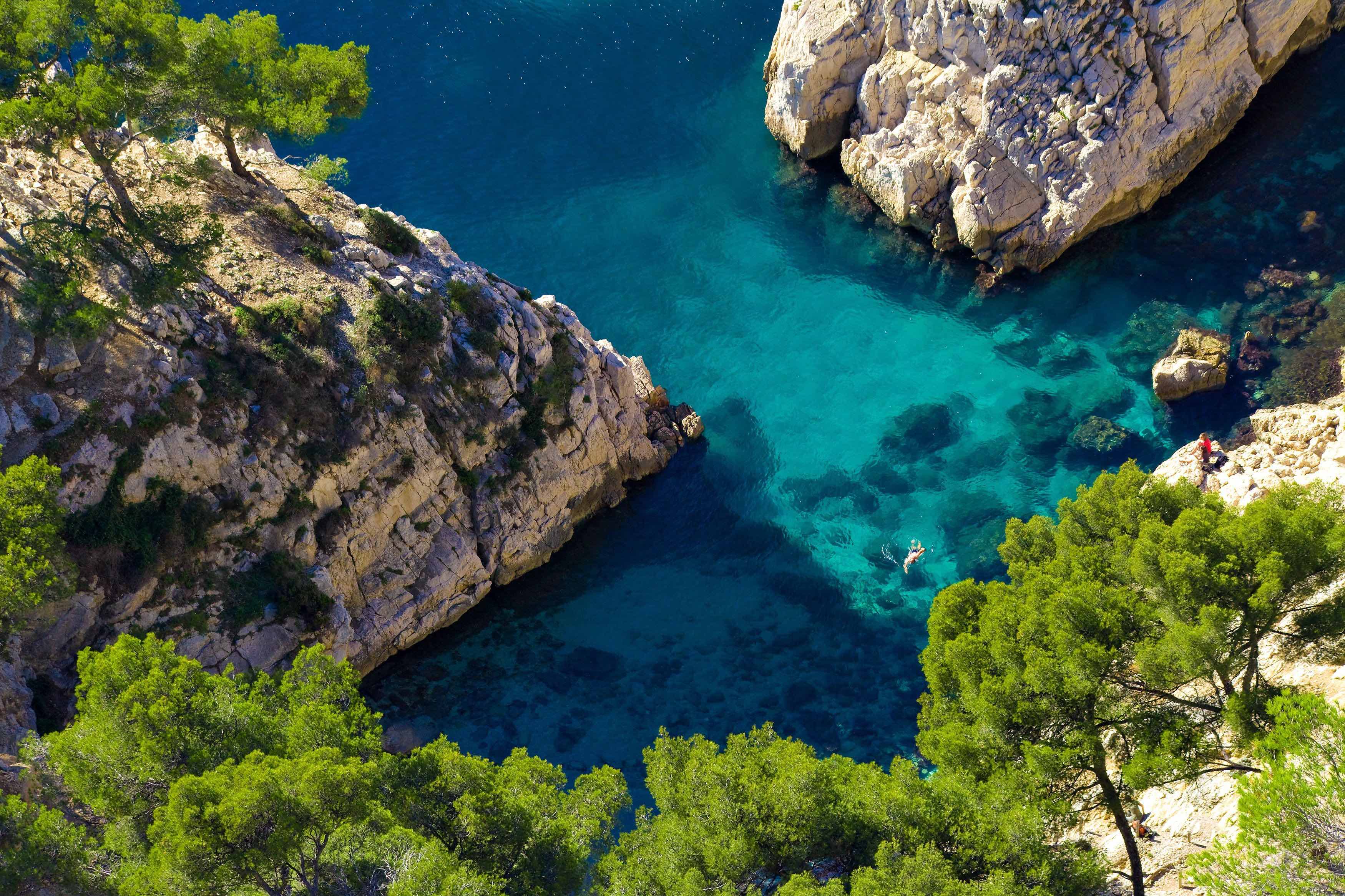
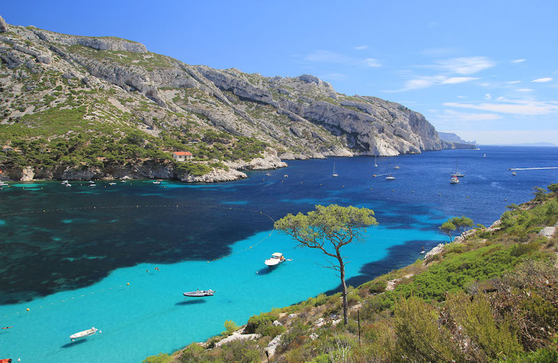
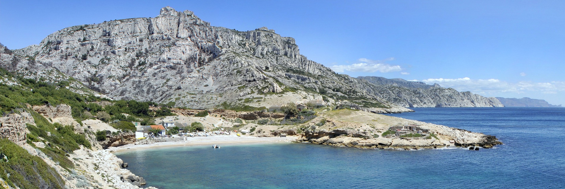
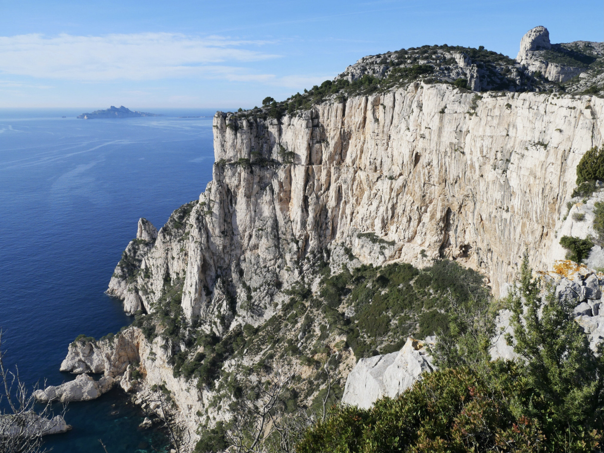
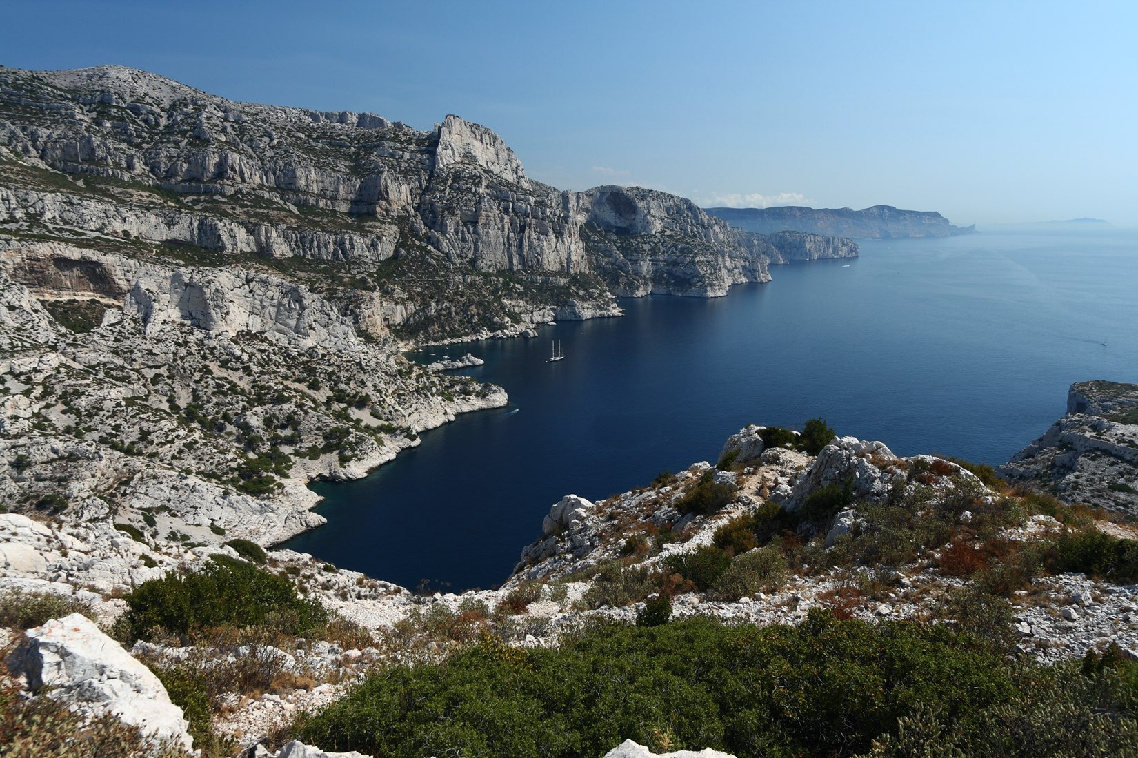
Leaving from Luminy, this route descends towards the pretty Calanque de Morgiou, which is home to a port and a small hamlet. The path then joins Cape Morgiou, before gaining height on the ridges and passing through Baou Rond (250 m).

Already more than 200,000 users!
Uphill
478m
Highest point
267m
Downhill
478m
Lowest point
0m
Route type
Loop
Download the map on your smartphone to save battery and rest assured to always keep access to the route, even without signal.
Includes IGN France and Swisstopo.
I indicate whether dogs are allowed or prohibited on this trail
All year
1 rating
Also enjoy:

Already more than 200,000 users!