Uphill
932m
France > Provence-Alpes-Côte d'Azur > Bouches-du-Rhône > Calanques National Park
Length
16km
Duration
7h
Elev gain
932m
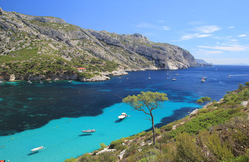
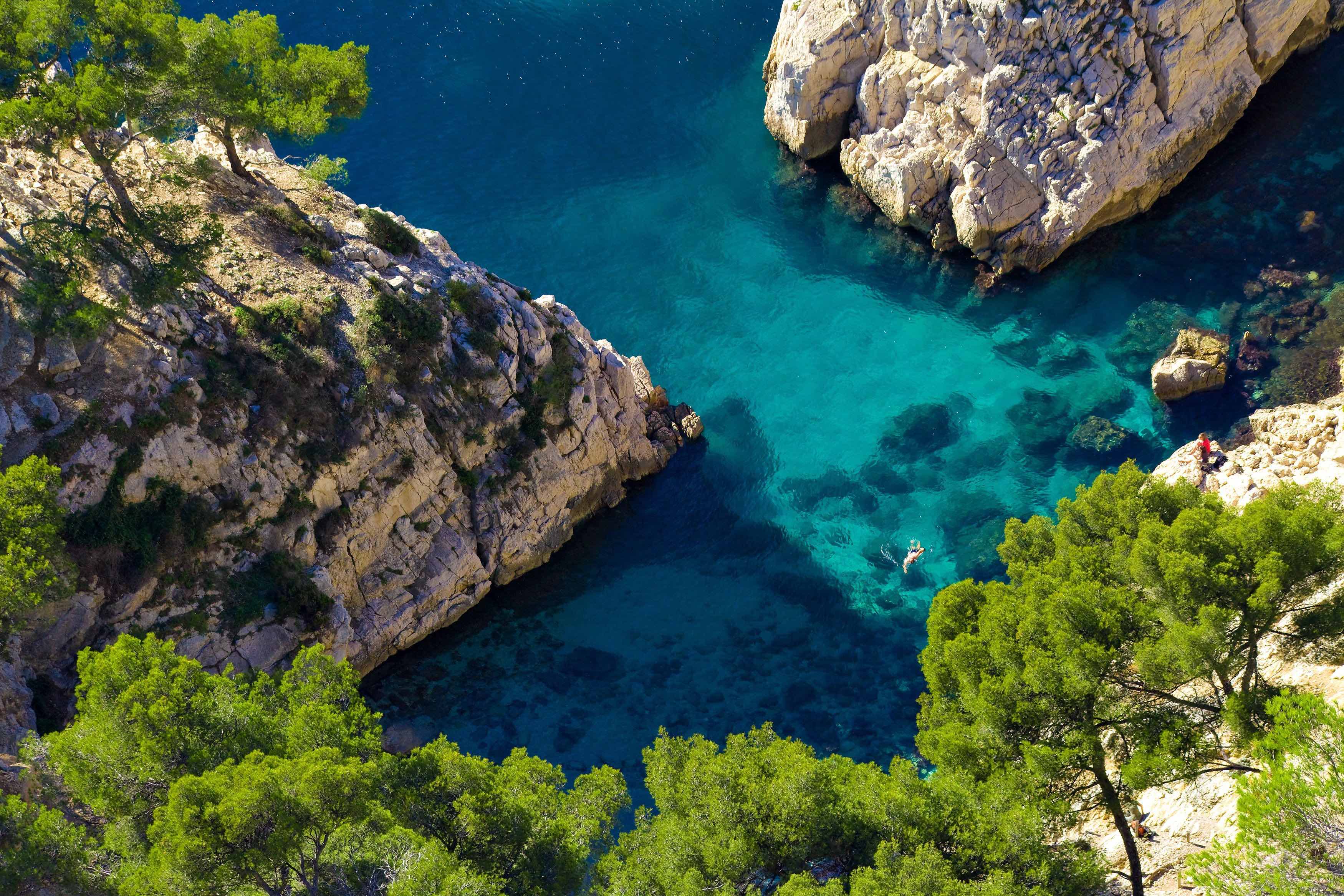
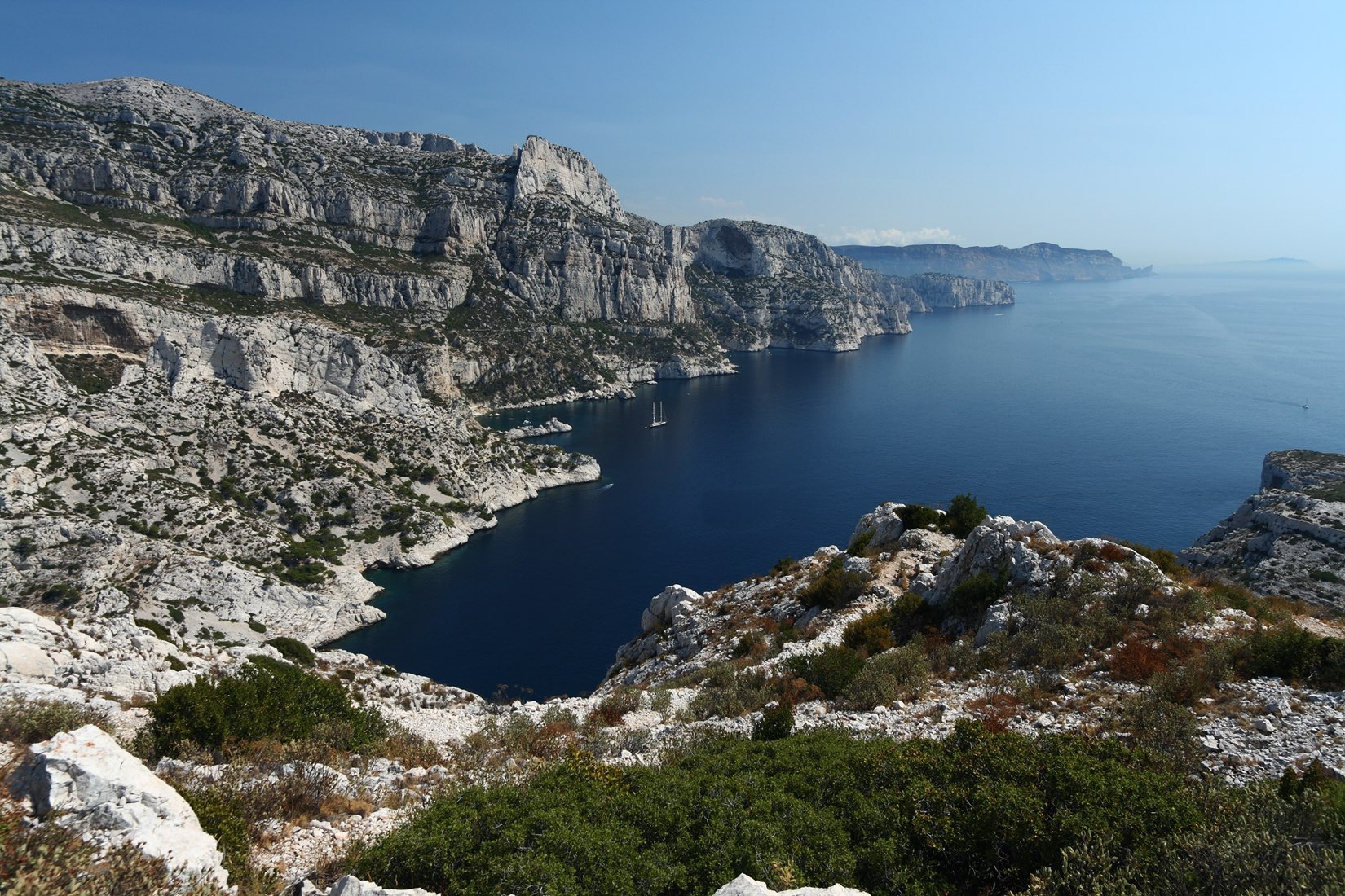
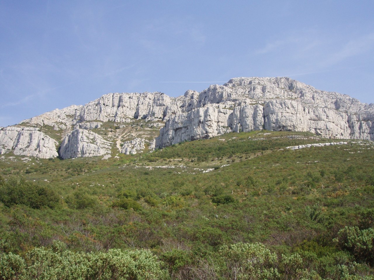
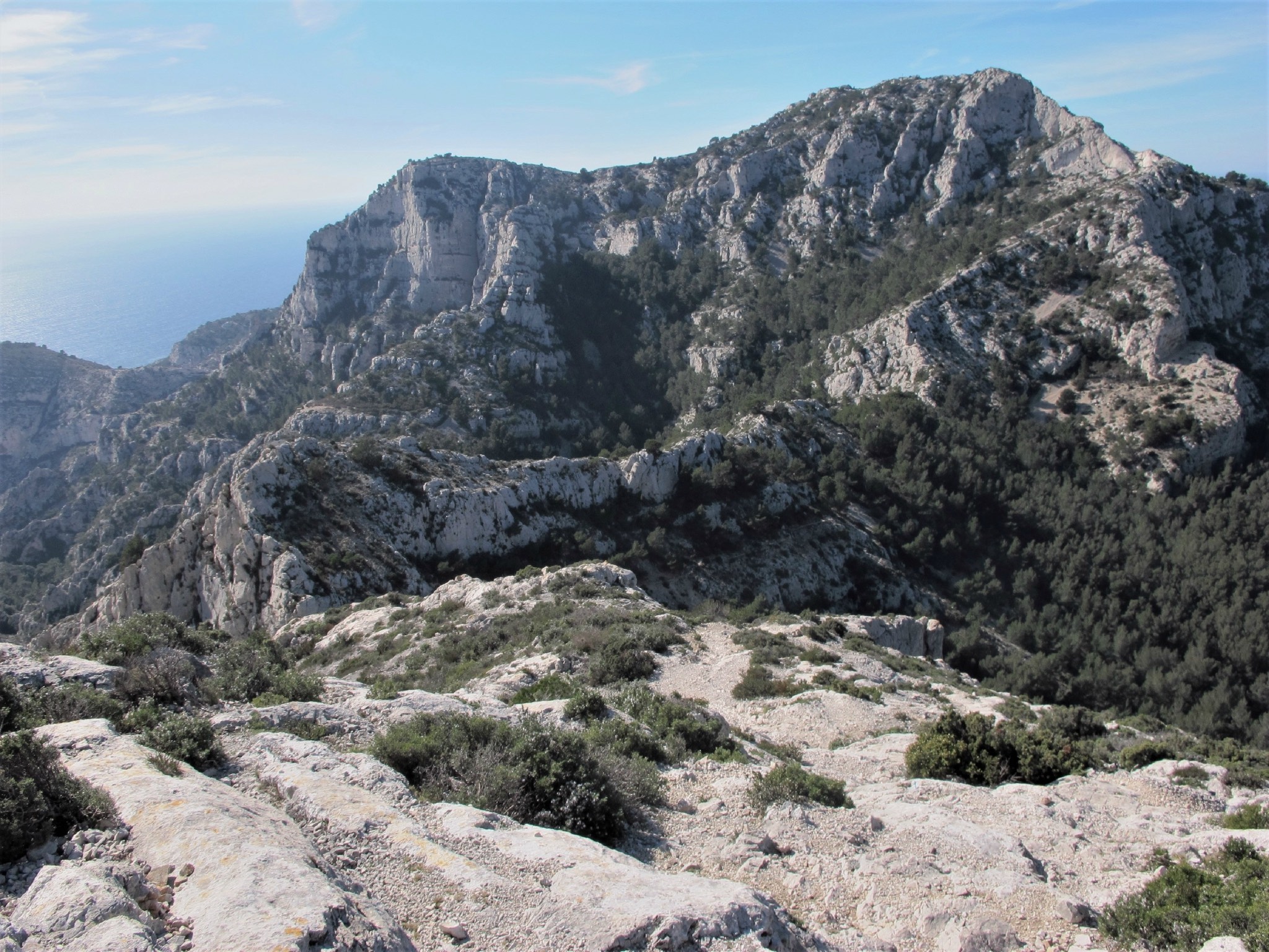
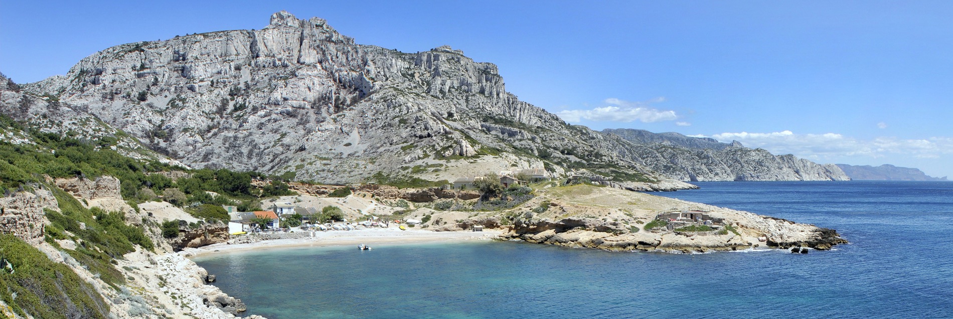
Leaving from the Col de Sormiou, this trail allows you to discover the Marseilleveyre massif before following the sea for more than 5 kilometers.

Already more than 200,000 users!
Uphill
932m
Highest point
387m
Downhill
932m
Lowest point
0m
Route type
Loop
Download the map on your smartphone to save battery and rest assured to always keep access to the route, even without signal.
Includes IGN France and Swisstopo.
0 ratings
Also enjoy:

Already more than 200,000 users!