Uphill
667m
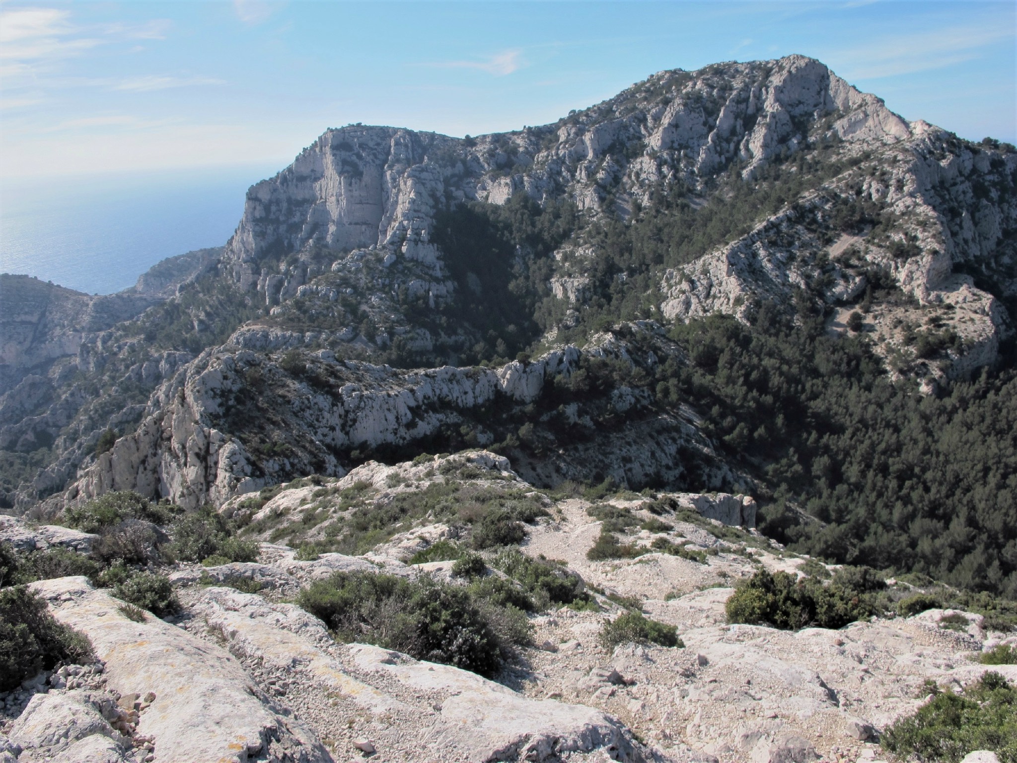
France > Provence-Alpes-Côte d'Azur > Bouches-du-Rhône > Calanques National Park
Length
11km
Duration
5h
Elev gain
667m
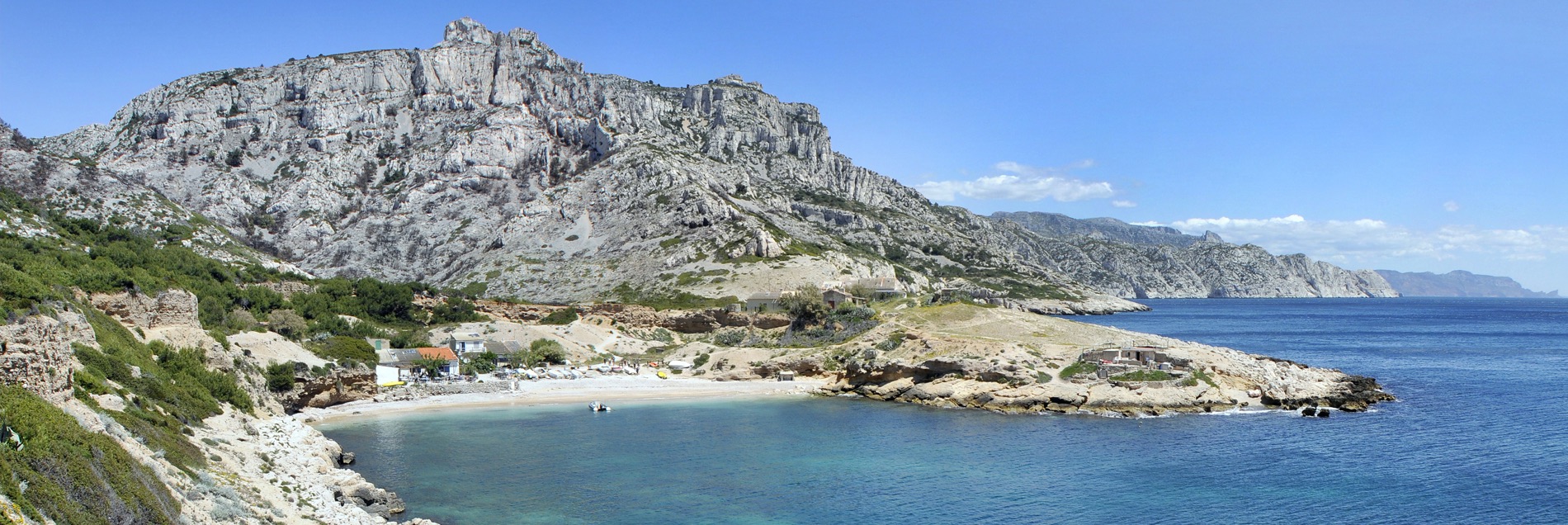
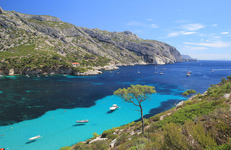
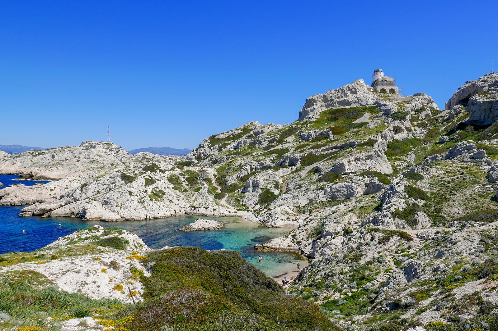
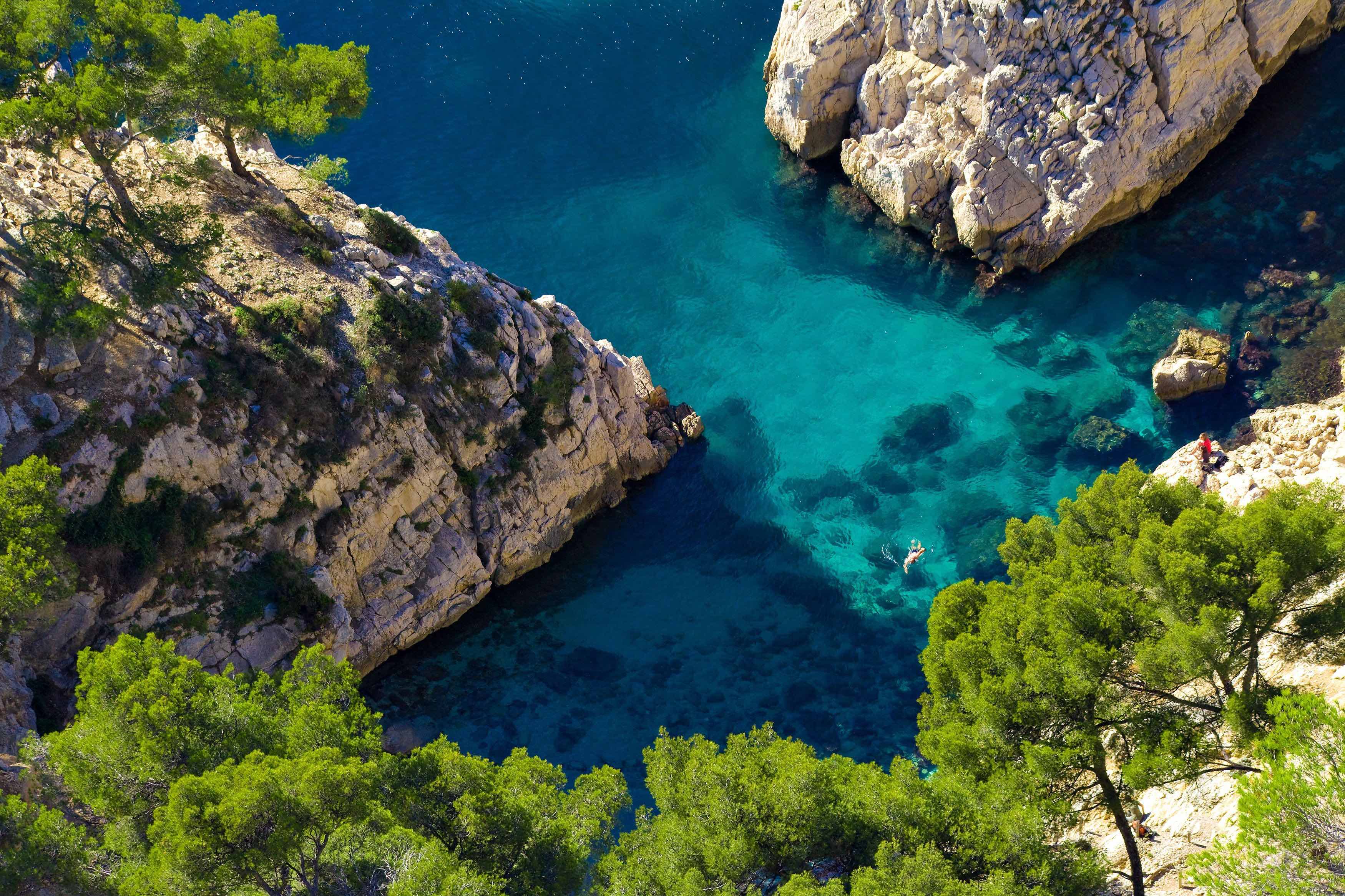
Leaving from the calanque de Callelongue, this loop follows the sentier des douaniers before beginning the ascent of Marseilleveyre. Varied landscapes, and panorama of Marseille.

Already more than 200,000 users!
Uphill
667m
Highest point
427m
Downhill
667m
Lowest point
0m
Route type
Loop
Download the map on your smartphone to save battery and rest assured to always keep access to the route, even without signal.
Includes IGN France and Swisstopo.
2 ratings
Also enjoy:

Already more than 200,000 users!