Uphill
1286m

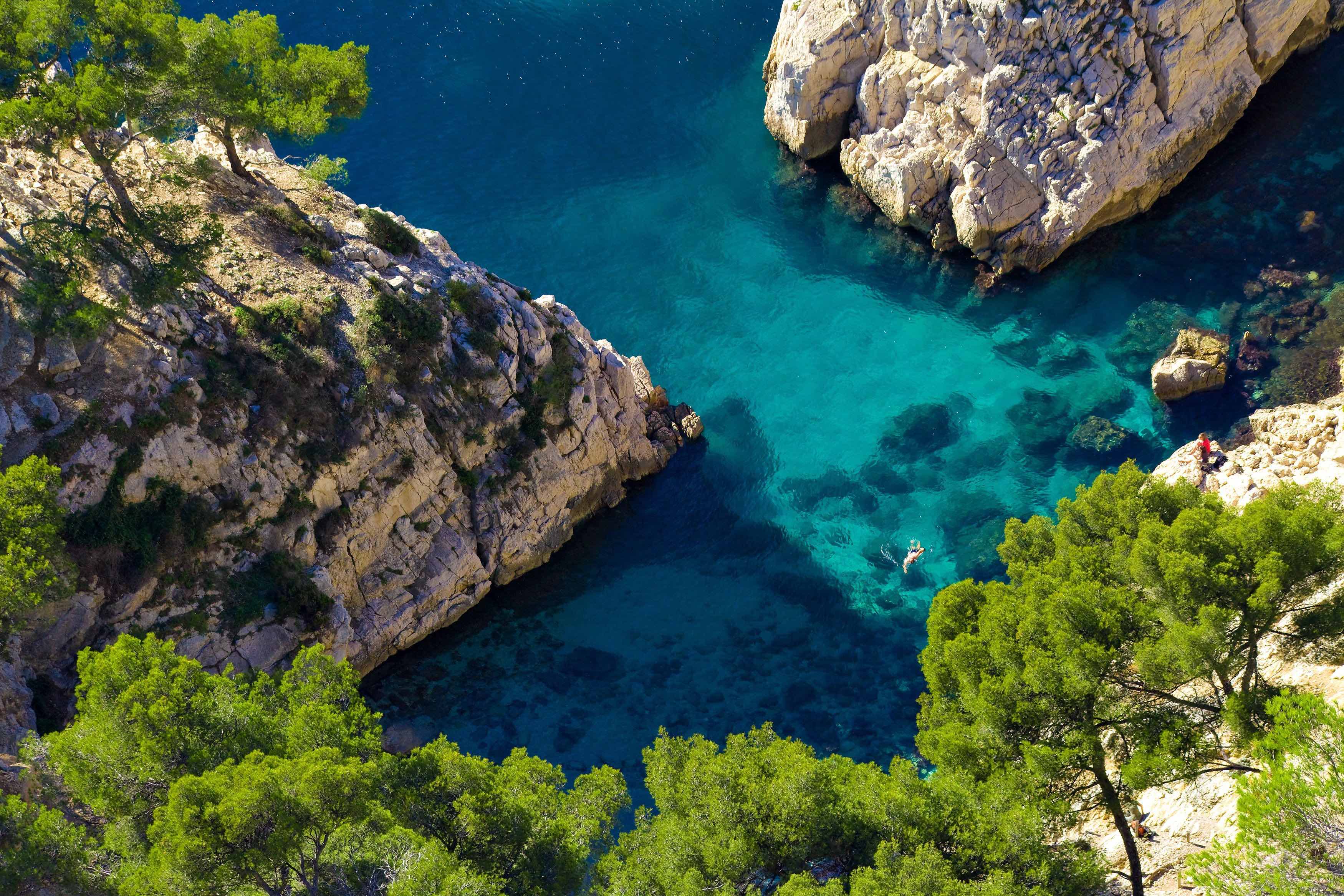
France > Provence-Alpes-Côte d'Azur > Bouches-du-Rhône > Calanques National Park
Length
23km
Duration
10h
Elev gain
1286m
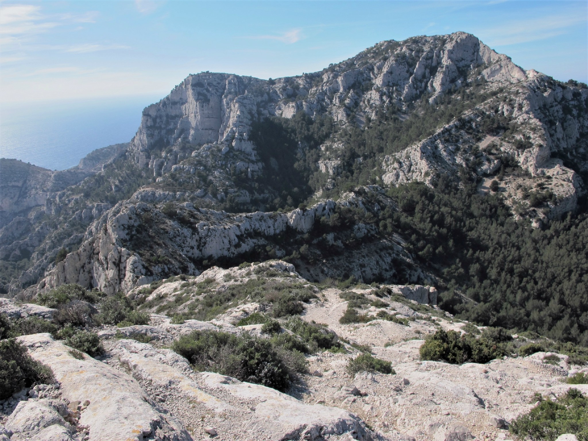
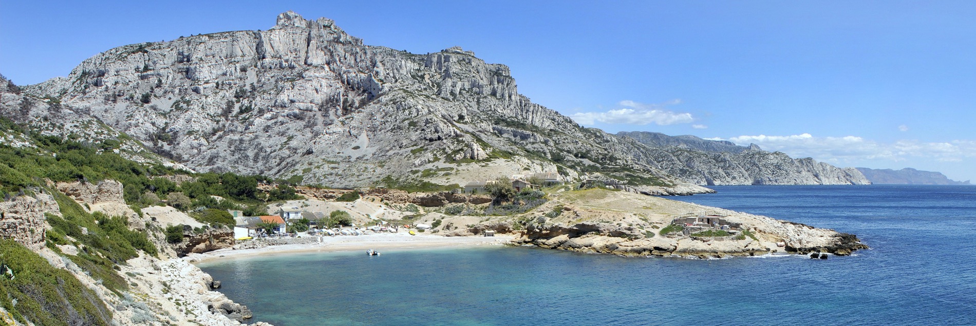
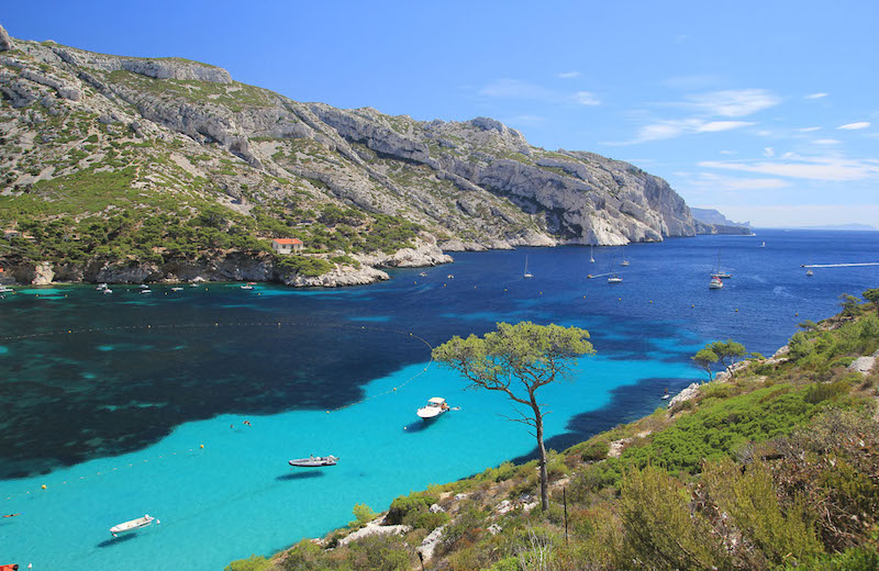
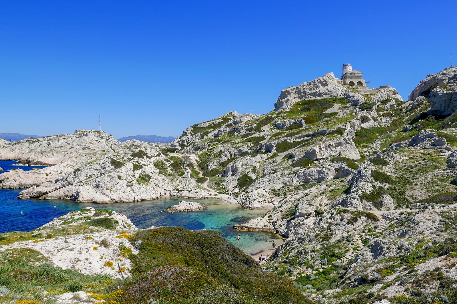
Here is a one-way hike along the crests of the Calanques between Marseille and Cassis. The path goes through Marseilleveyre (434 m), Mont de Luminy, Col de Sugiton and Col de la Guardiole.

Already more than 200,000 users!
Uphill
1286m
Highest point
527m
Downhill
1291m
Lowest point
22m
Route type
One way
Download the map on your smartphone to save battery and rest assured to always keep access to the route, even without signal.
Includes IGN France and Swisstopo.
0 ratings
Also enjoy:

Already more than 200,000 users!