Uphill
246m
France > Provence-Alpes-Côte d'Azur > Bouches-du-Rhône
Length
5km
Duration
2h
Elev gain
246m
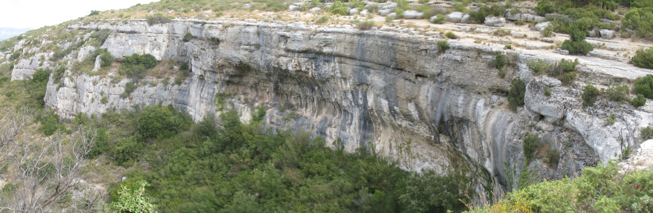
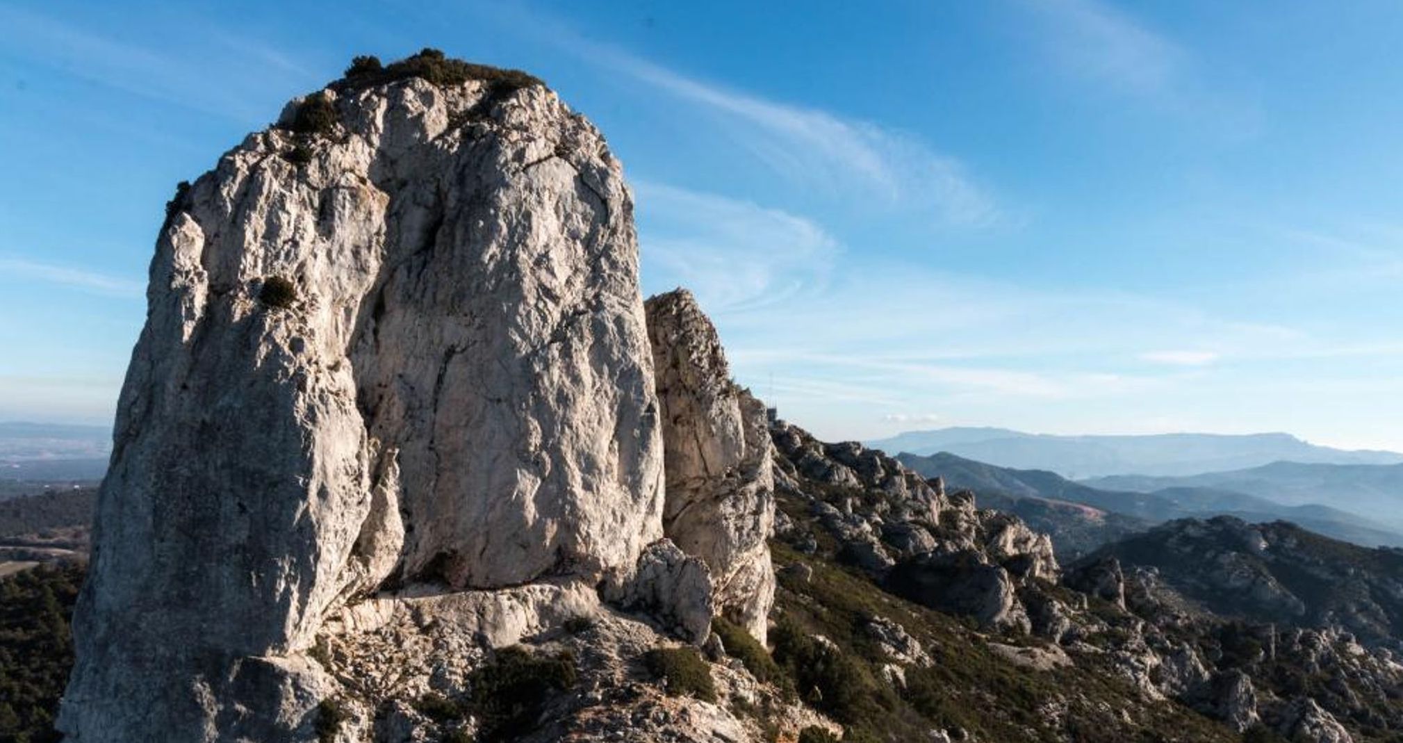
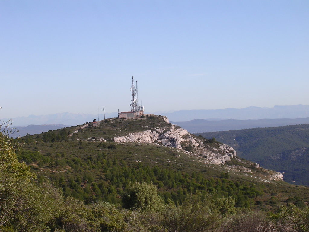
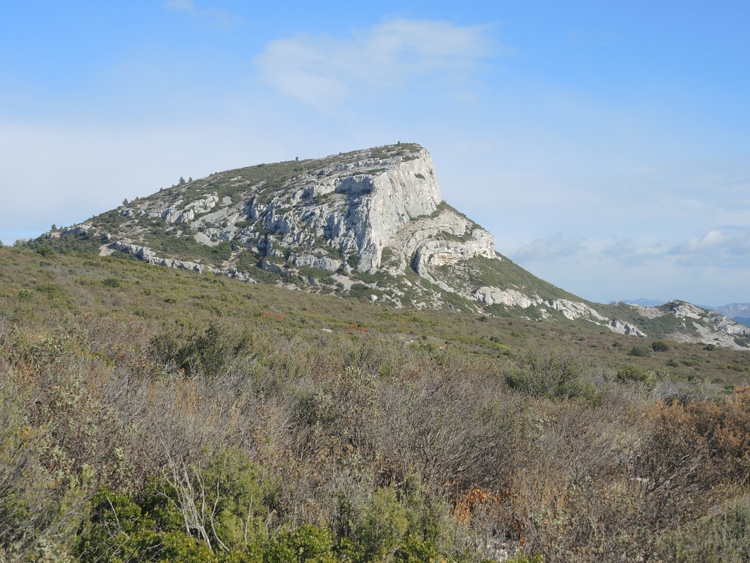
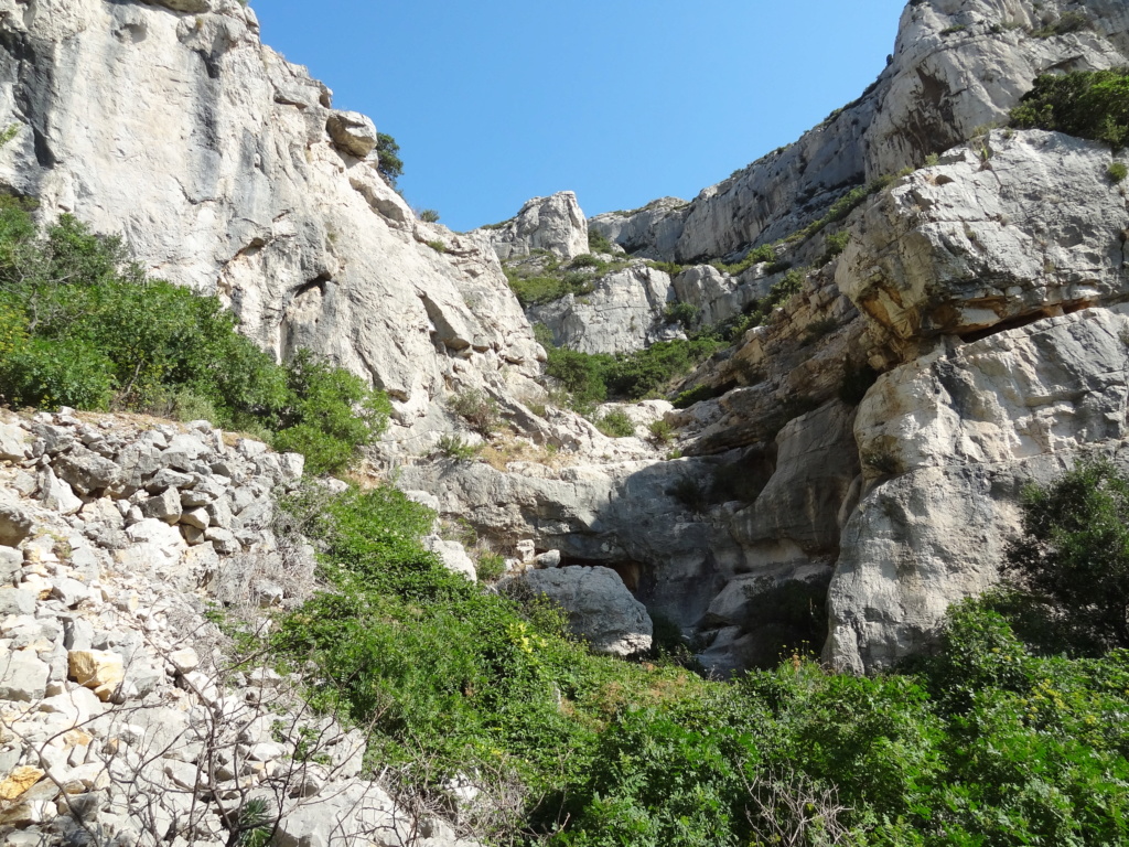
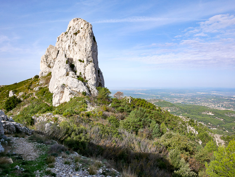
Departing from Col Saint-Anne, return trip to Pilon du Roi (712 m). This summit offers breathtaking views of the Aix and Marseille area.
Note that the circuit uses a fairly wide track, which can be used by cars.

Already more than 200,000 users!
Uphill
246m
Highest point
678m
Downhill
246m
Lowest point
536m
Route type
There and back
Download the map on your smartphone to save battery and rest assured to always keep access to the route, even without signal.
Includes IGN France and Swisstopo.
I indicate whether dogs are allowed or prohibited on this trail
All year
1 rating
Also enjoy:

Already more than 200,000 users!