Uphill
776m

France > Provence-Alpes-Côte d'Azur > Bouches-du-Rhône
Length
12km
Duration
5h30min
Elev gain
776m
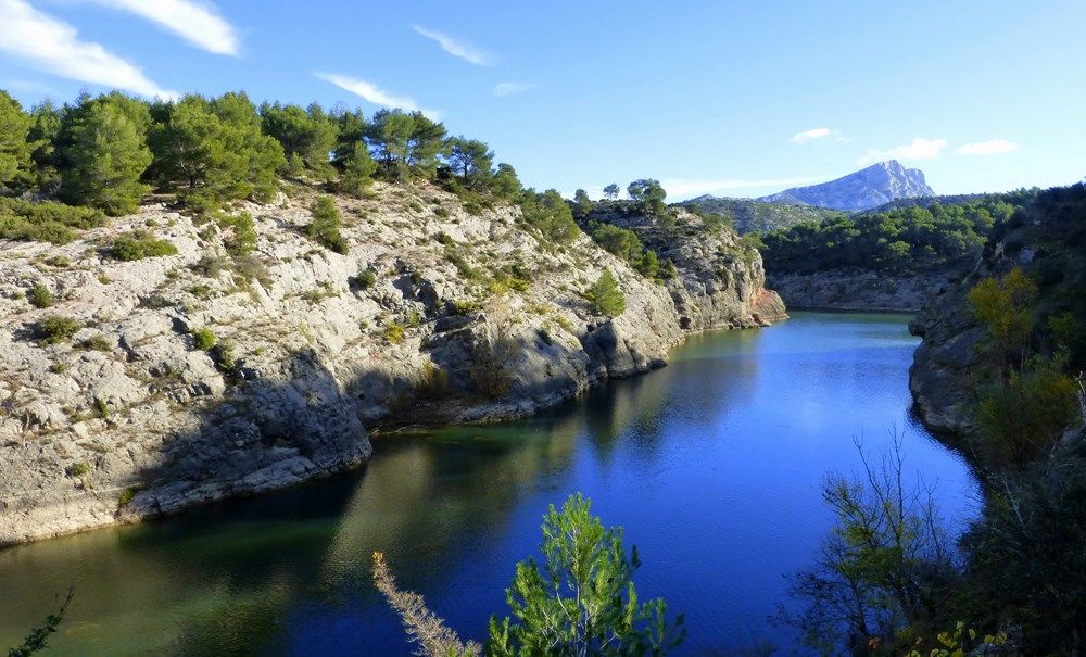
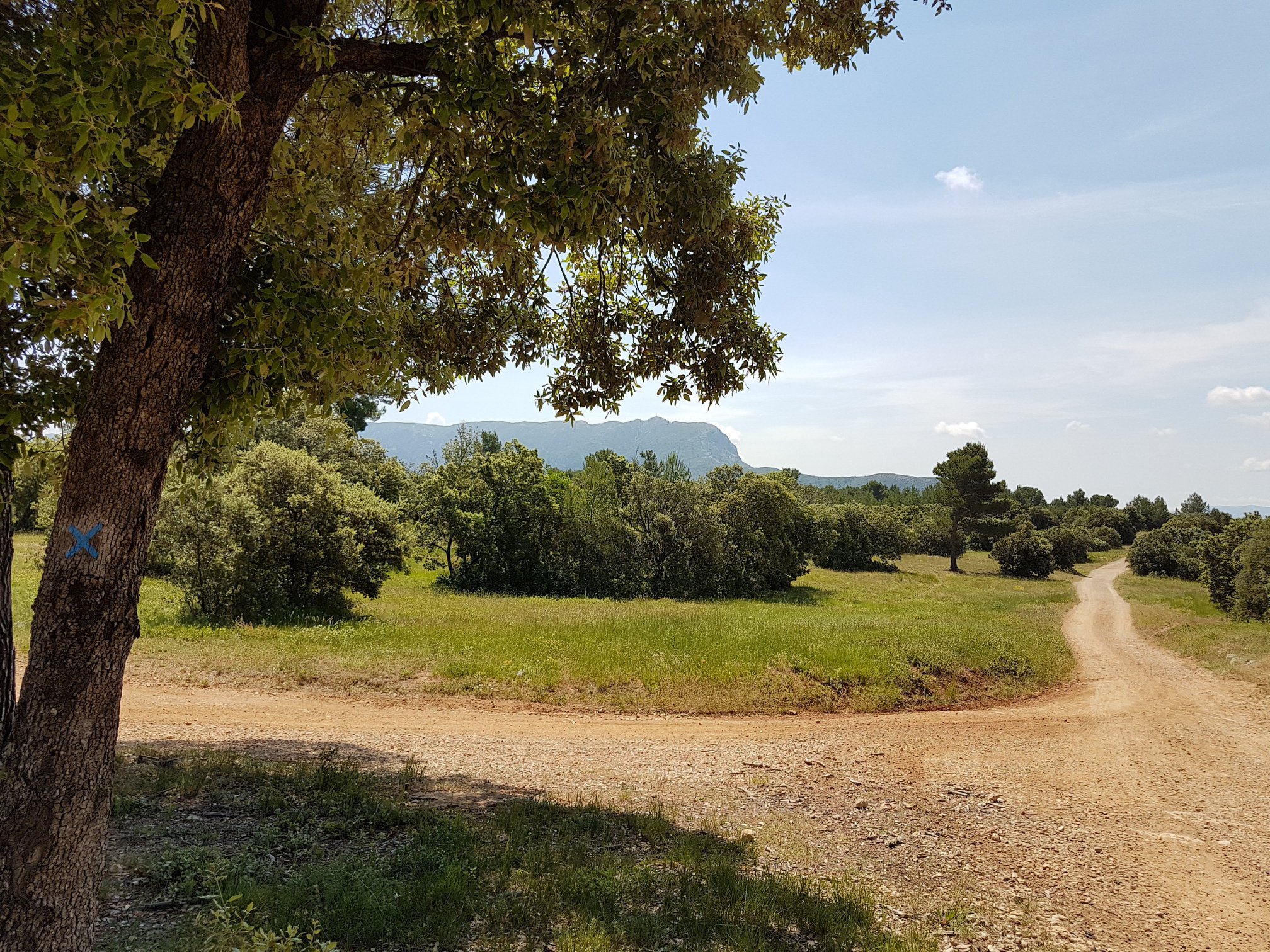
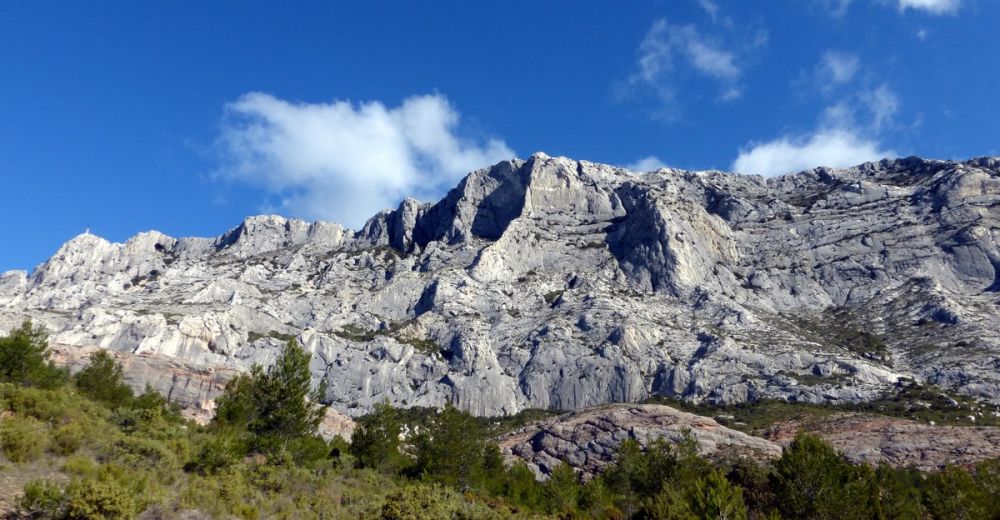
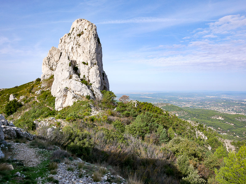
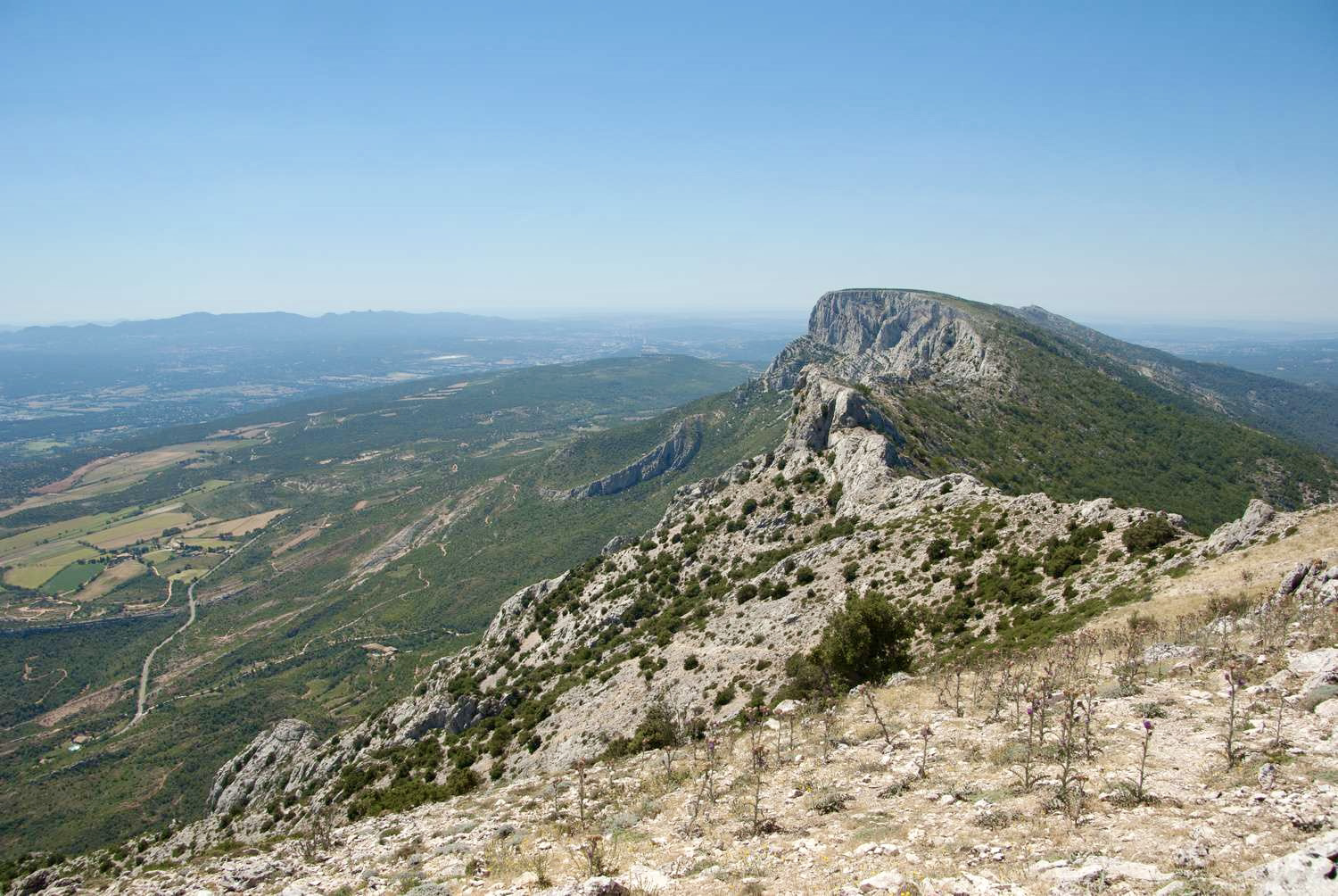
Leaving from the Bimont dam, the Imoucha path follows the crests to the Croix de Provence, an emblematic summit of the Sainte-Victoire Mountain.

Already more than 200,000 users!
Uphill
776m
Highest point
909m
Downhill
776m
Lowest point
268m
Route type
Loop
Download the map on your smartphone to save battery and rest assured to always keep access to the route, even without signal.
Includes IGN France and Swisstopo.
I indicate whether dogs are allowed or prohibited on this trail
All year
2 ratings
Also enjoy:

Already more than 200,000 users!