Uphill
231m
Length
9km
Duration
3h
Elev gain
231m
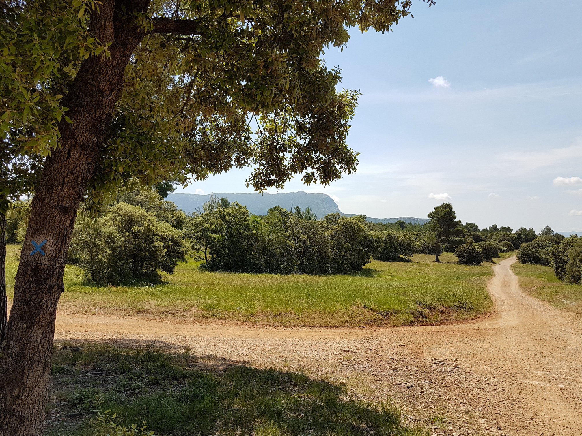
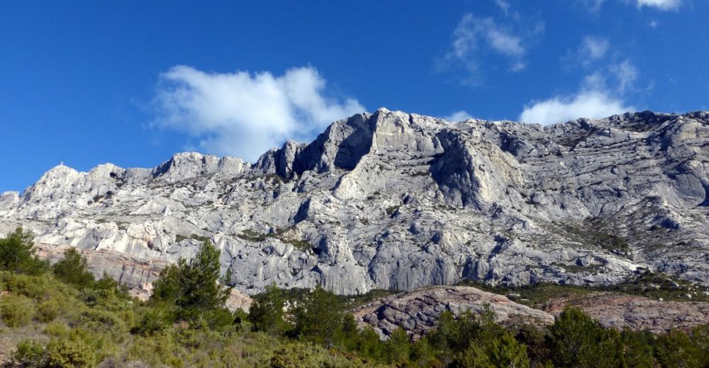
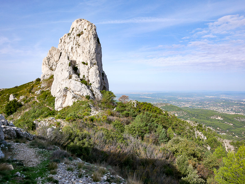
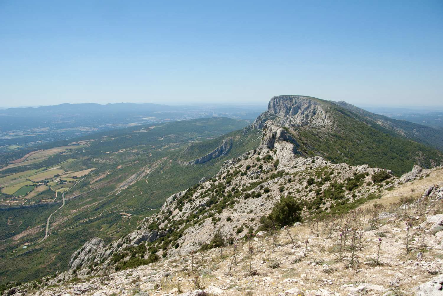
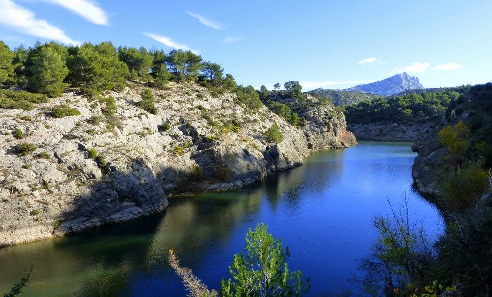
Starting from the Bimont dam, this trail allows you to discover the lake of the same name, Lake Zola and a Roman aqueduct. Nice views of the surroundings and Sainte-Victoire.

Already more than 200,000 users!
Uphill
231m
Highest point
370m
Downhill
231m
Lowest point
215m
Route type
Loop
Download the map on your smartphone to save battery and rest assured to always keep access to the route, even without signal.
Includes IGN France and Swisstopo.
I indicate whether dogs are allowed or prohibited on this trail
All year
2 ratings
Also enjoy:

Already more than 200,000 users!