Uphill
313m
France > Provence-Alpes-Côte d'Azur > Bouches-du-Rhône
Length
7km
Duration
2h30min
Elev gain
313m
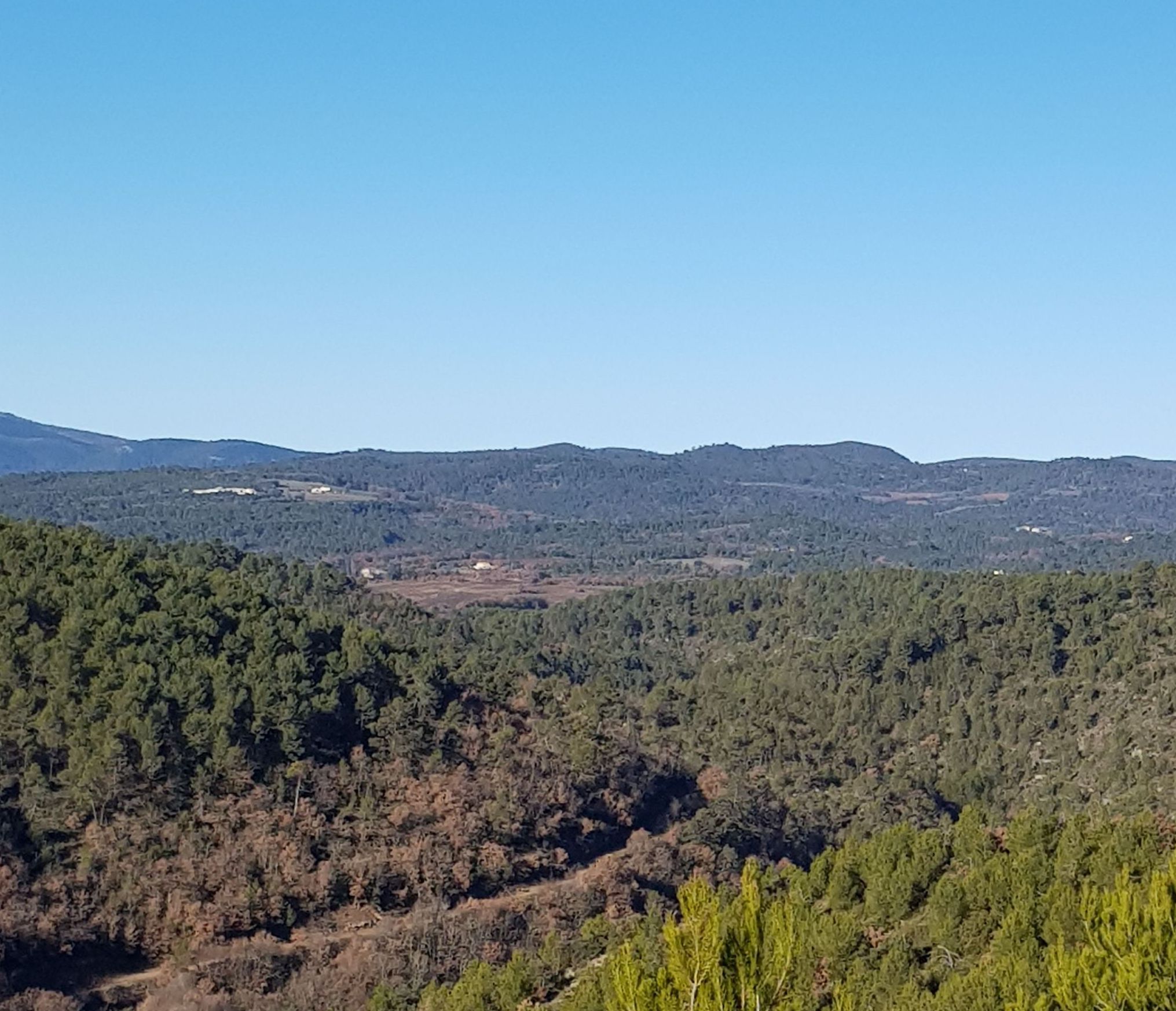
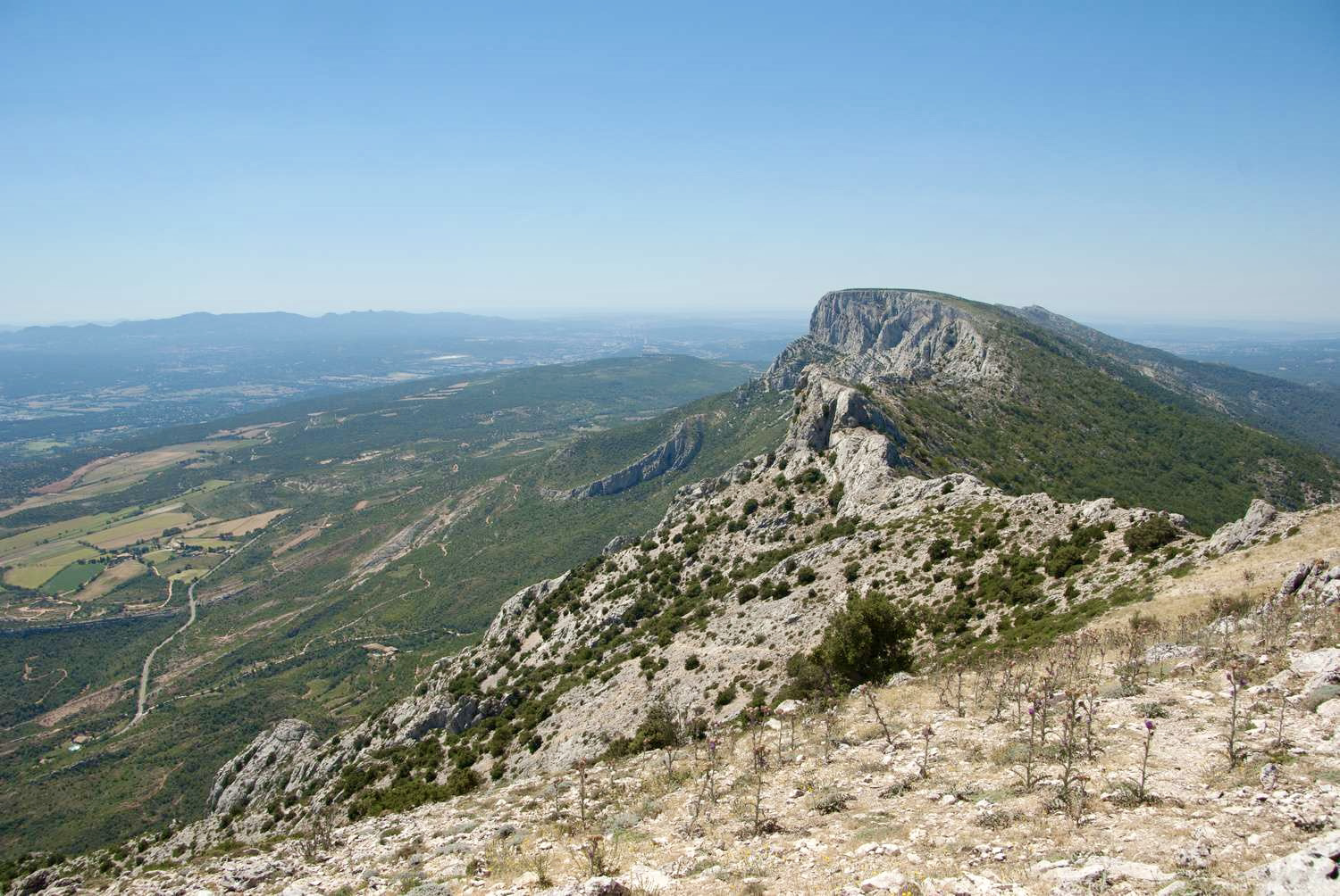
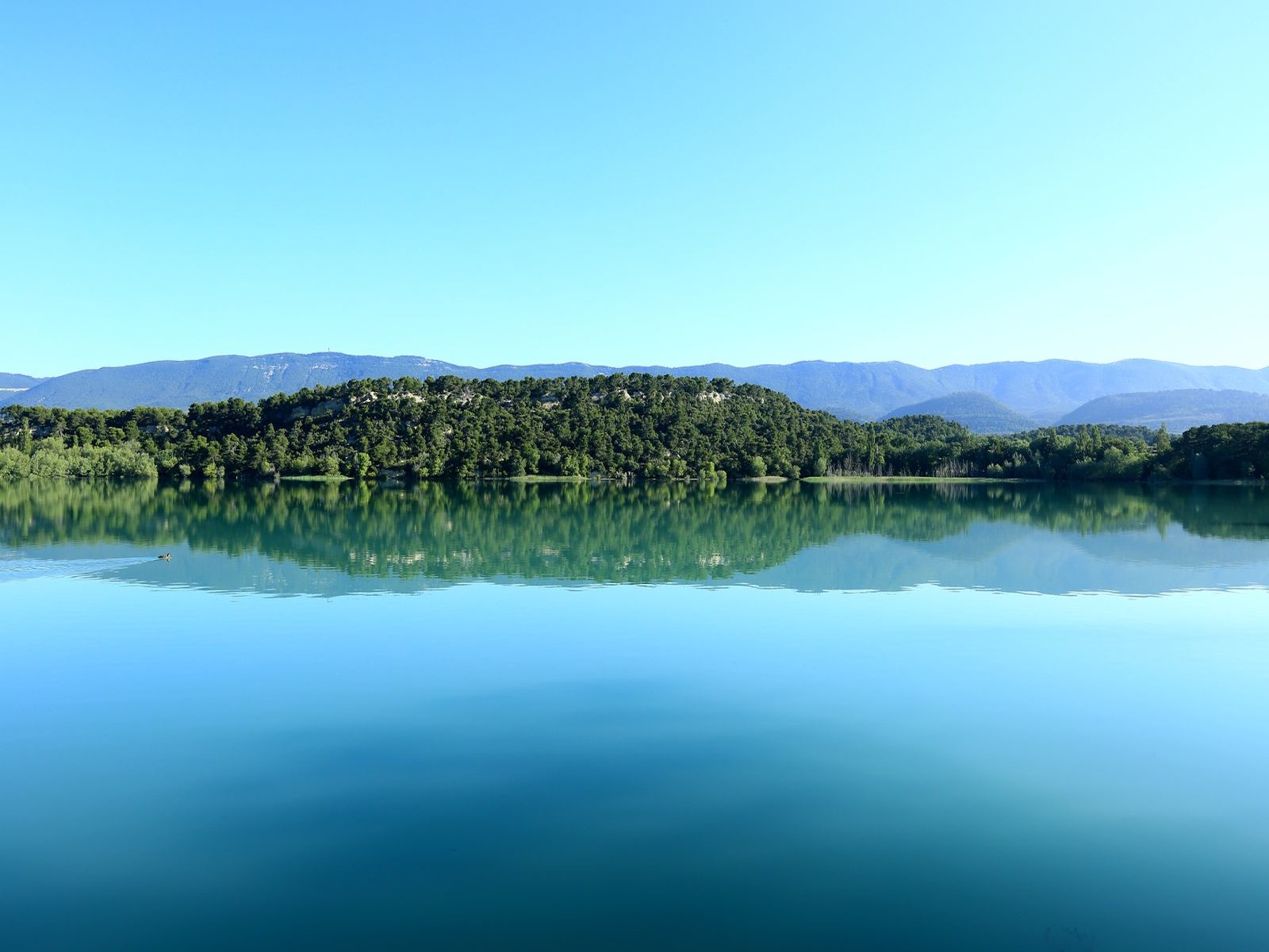
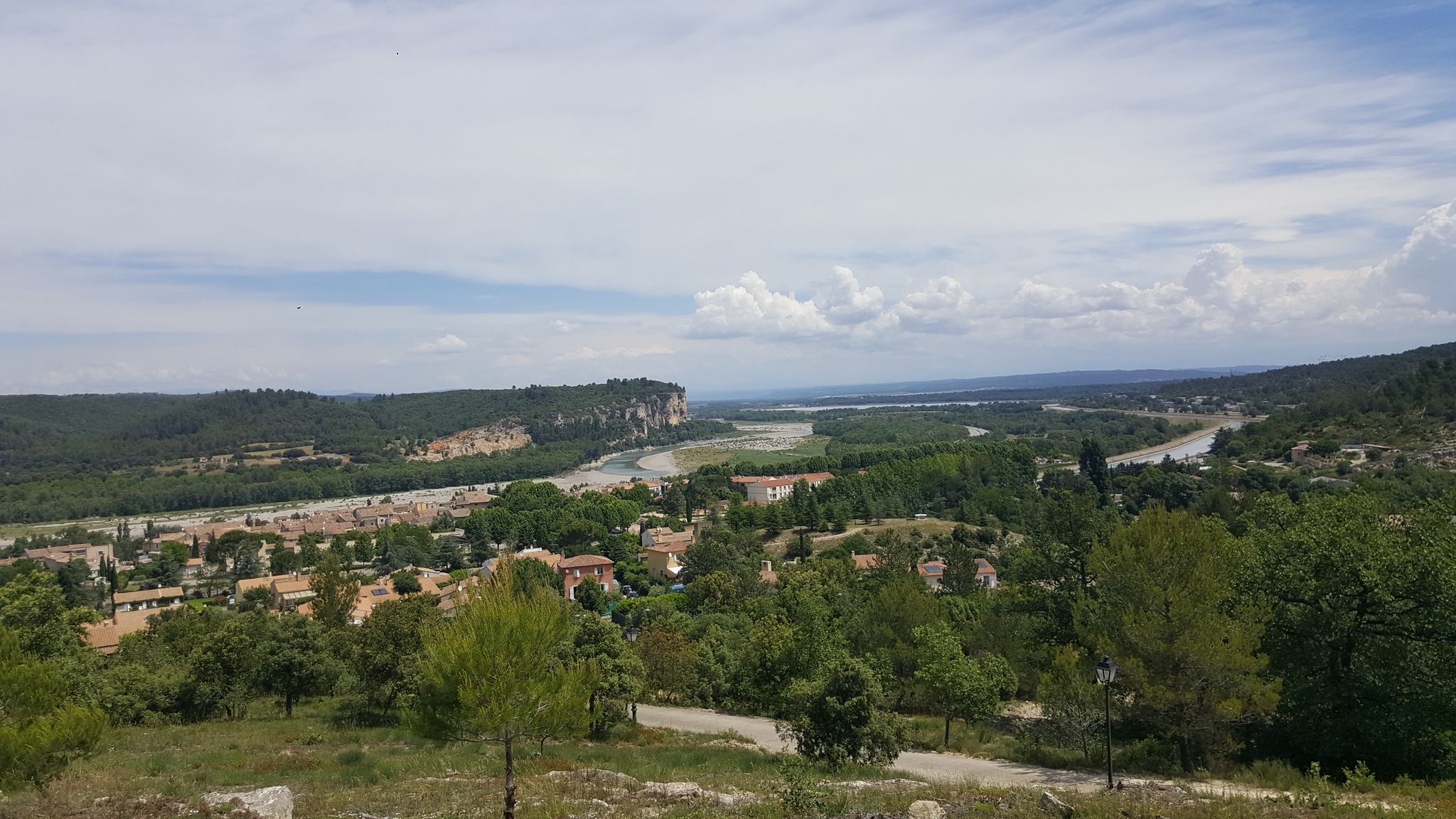
Loop in the heart of the wood of Saint-Paul-lès-Durance. The path rises to offer beautiful views of the village and the Durance.

Already more than 200,000 users!
Uphill
313m
Highest point
514m
Downhill
313m
Lowest point
256m
Route type
Loop
Download the map on your smartphone to save battery and rest assured to always keep access to the route, even without signal.
Includes IGN France and Swisstopo.
I indicate whether dogs are allowed or prohibited on this trail
All year
0 ratings
Also enjoy:

Already more than 200,000 users!