Uphill
198m
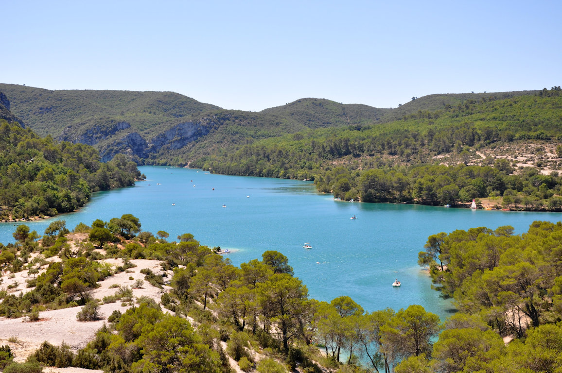
France > Provence-Alpes-Côte d'Azur > Alpes-de-Haute-Provence > Verdon Regional Natural Park
Length
6km
Duration
2h
Elev gain
198m
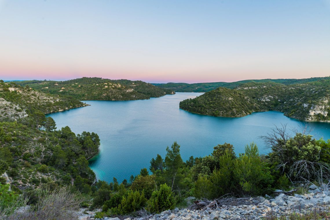
Departing from Esparron-de-Verdon, this is a botanical trail that begins in wooded hillsides, then ends along Lake Esparron. Presence of many informative panels of tree and shrub species.

Already more than 200,000 users!
Uphill
198m
Highest point
527m
Downhill
198m
Lowest point
358m
Route type
Loop
Download the map on your smartphone to save battery and rest assured to always keep access to the route, even without signal.
Includes IGN France and Swisstopo.
I indicate whether dogs are allowed or prohibited on this trail
All year
1 rating
Also enjoy:

Already more than 200,000 users!