Uphill
305m
France > Provence-Alpes-Côte d'Azur > Alpes-de-Haute-Provence
Length
10km
Duration
3h30min
Elev gain
305m
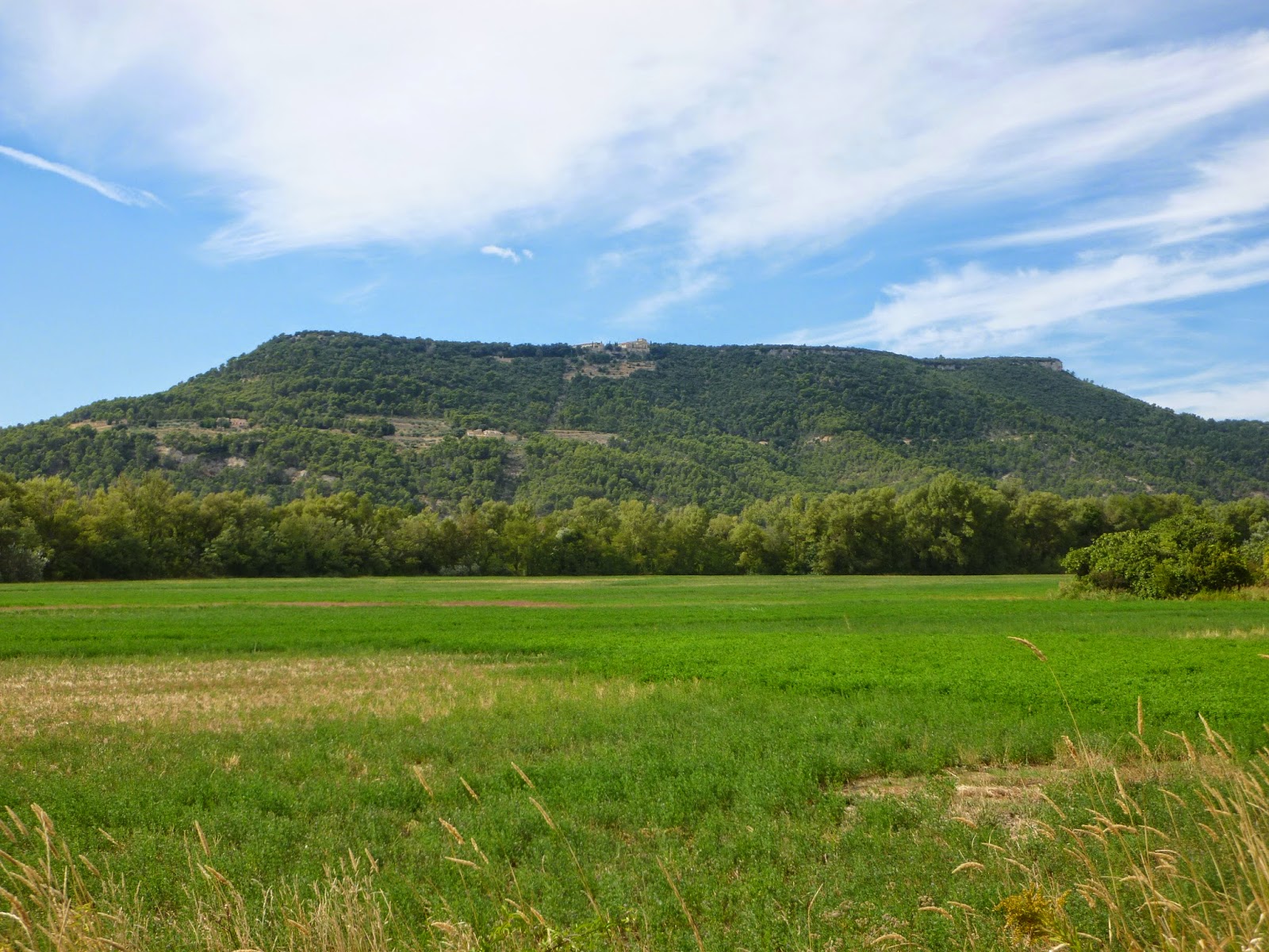
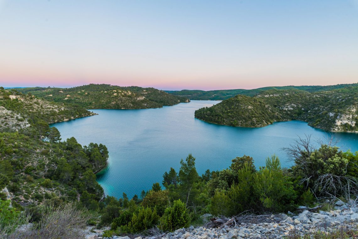
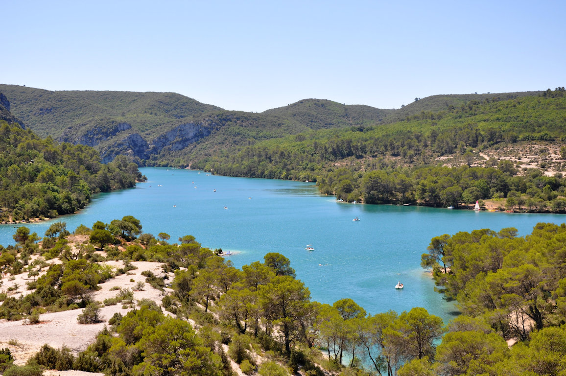
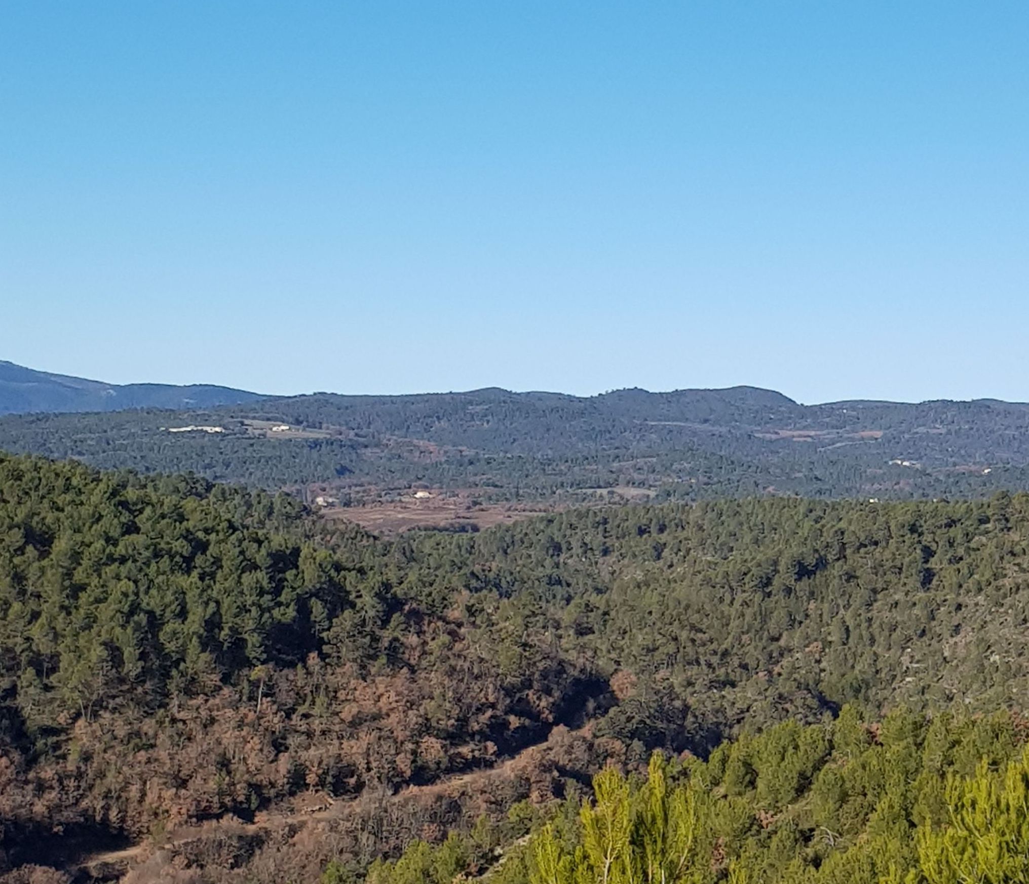
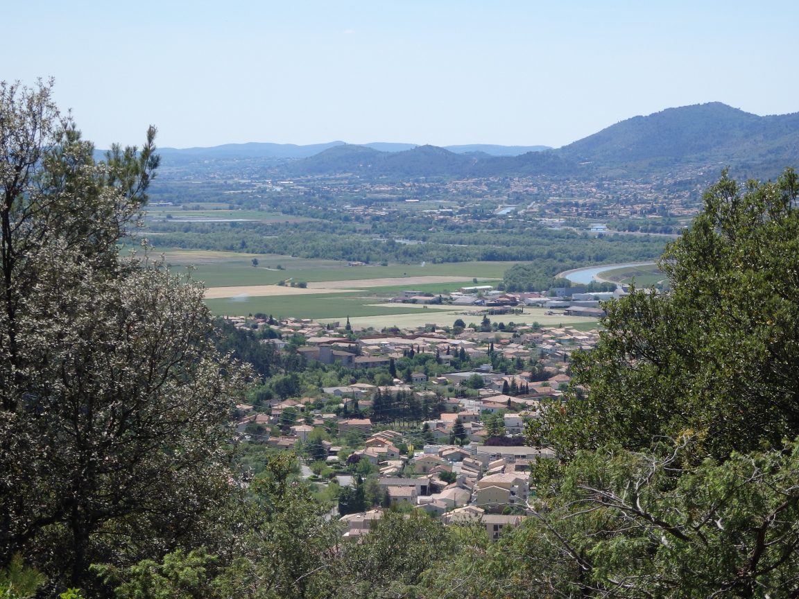
Starting from Oraison, this is a peaceful hike, taking wide forest tracks and offering lovely viewpoints.

Already more than 200,000 users!
Uphill
305m
Highest point
631m
Downhill
305m
Lowest point
366m
Route type
Loop
Download the map on your smartphone to save battery and rest assured to always keep access to the route, even without signal.
Includes IGN France and Swisstopo.
I indicate whether dogs are allowed or prohibited on this trail
All year
0 ratings
Also enjoy:

Already more than 200,000 users!