Uphill
242m
France > Provence-Alpes-Côte d'Azur > Alpes-de-Haute-Provence
Length
6km
Duration
2h
Elev gain
242m
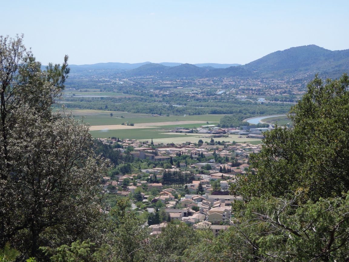
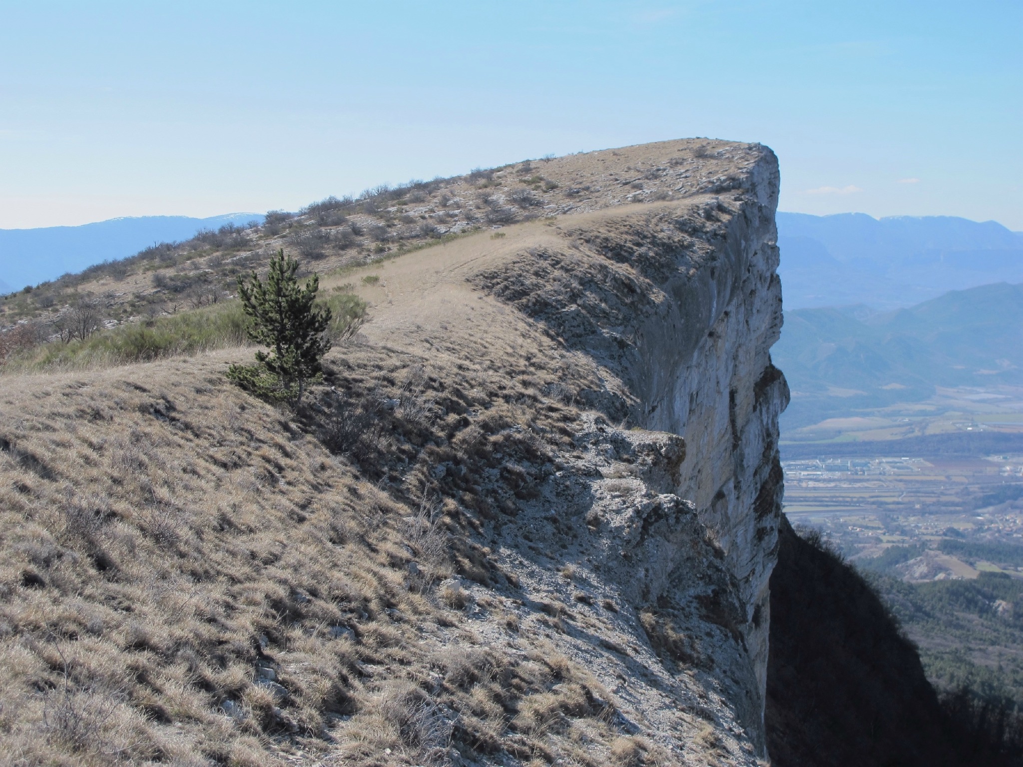
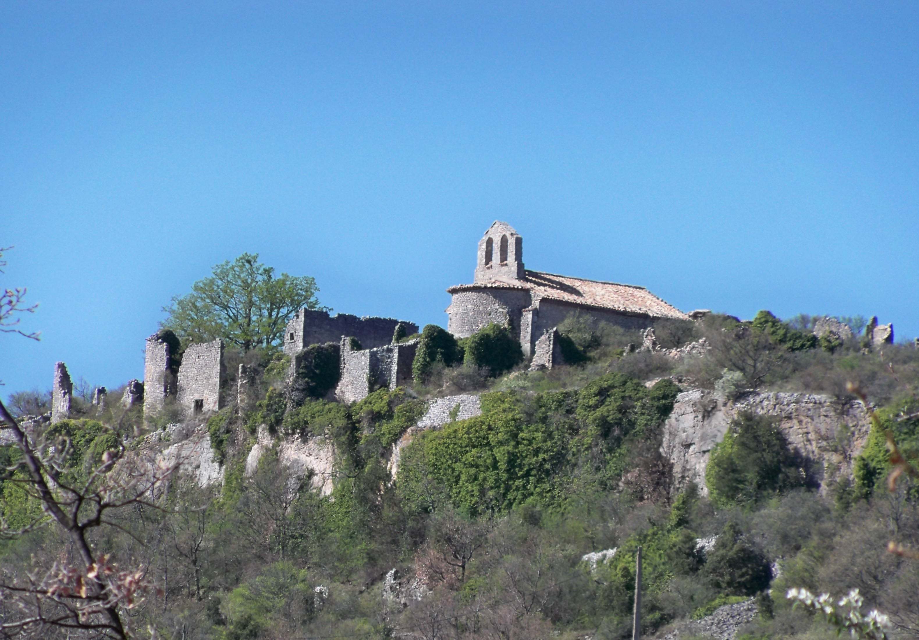
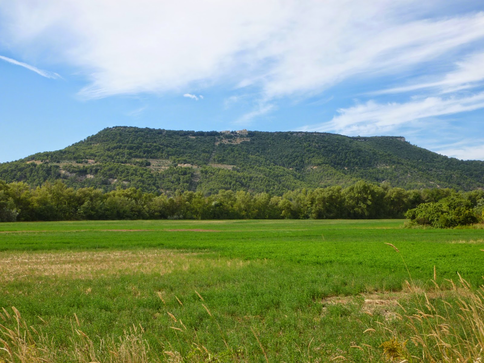
Departing from the village of Ganagobie, walk on the Ganagobie plateau to its abbey, surrounded by a vegetation of oaks and pines. Lovely views over the Durance valley.

Already more than 200,000 users!
Uphill
242m
Highest point
721m
Downhill
242m
Lowest point
552m
Route type
Loop
Download the map on your smartphone to save battery and rest assured to always keep access to the route, even without signal.
Includes IGN France and Swisstopo.
I indicate whether dogs are allowed or prohibited on this trail
All year
0 ratings
Also enjoy:

Already more than 200,000 users!