Uphill
221m
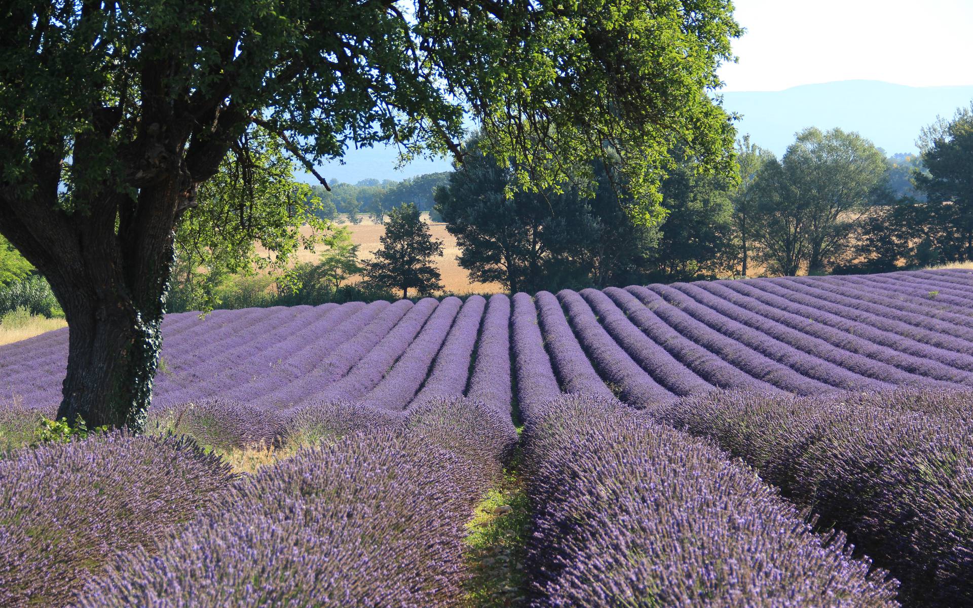
France > Provence-Alpes-Côte d'Azur > Alpes-de-Haute-Provence
Length
6km
Duration
2h
Elev gain
221m
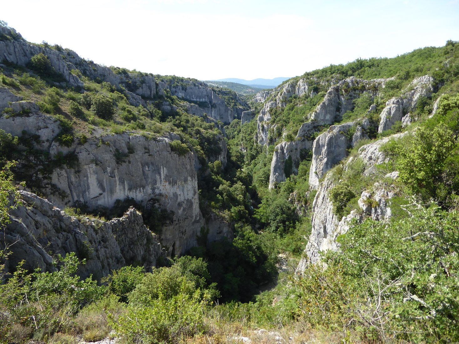
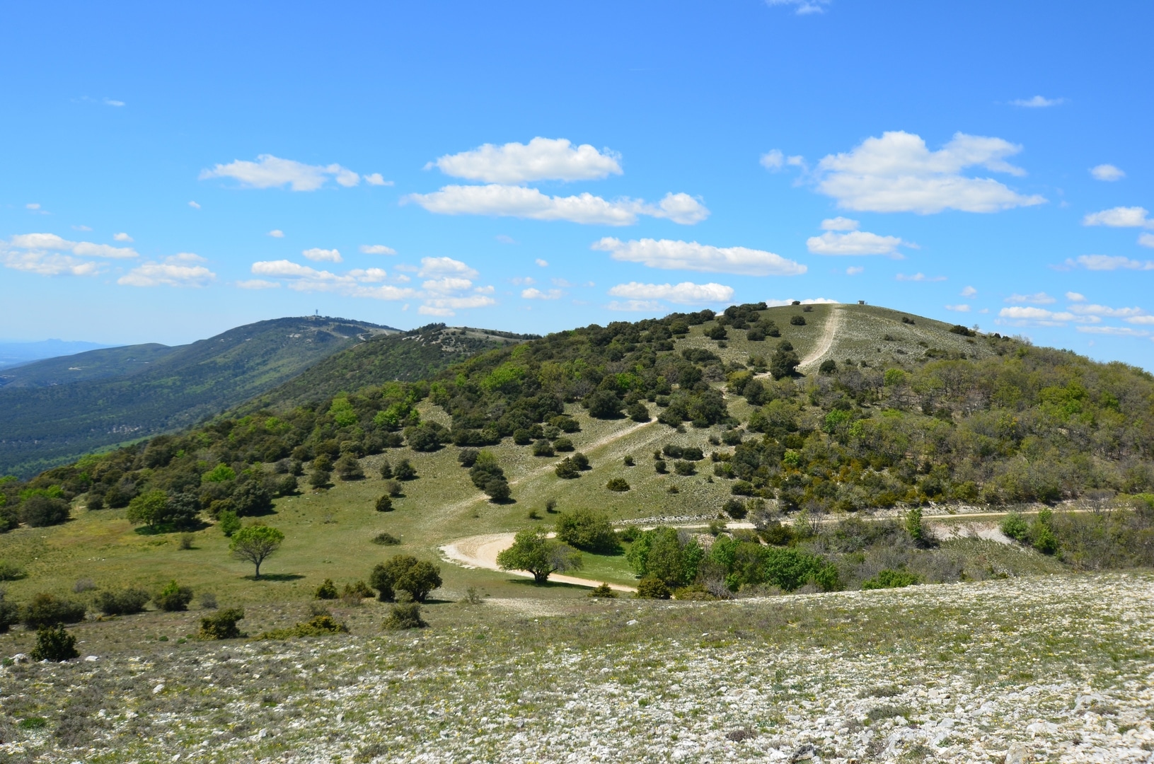
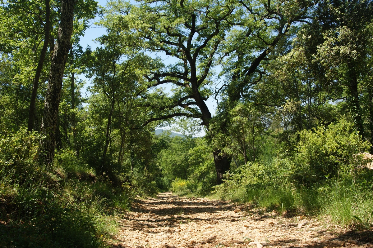
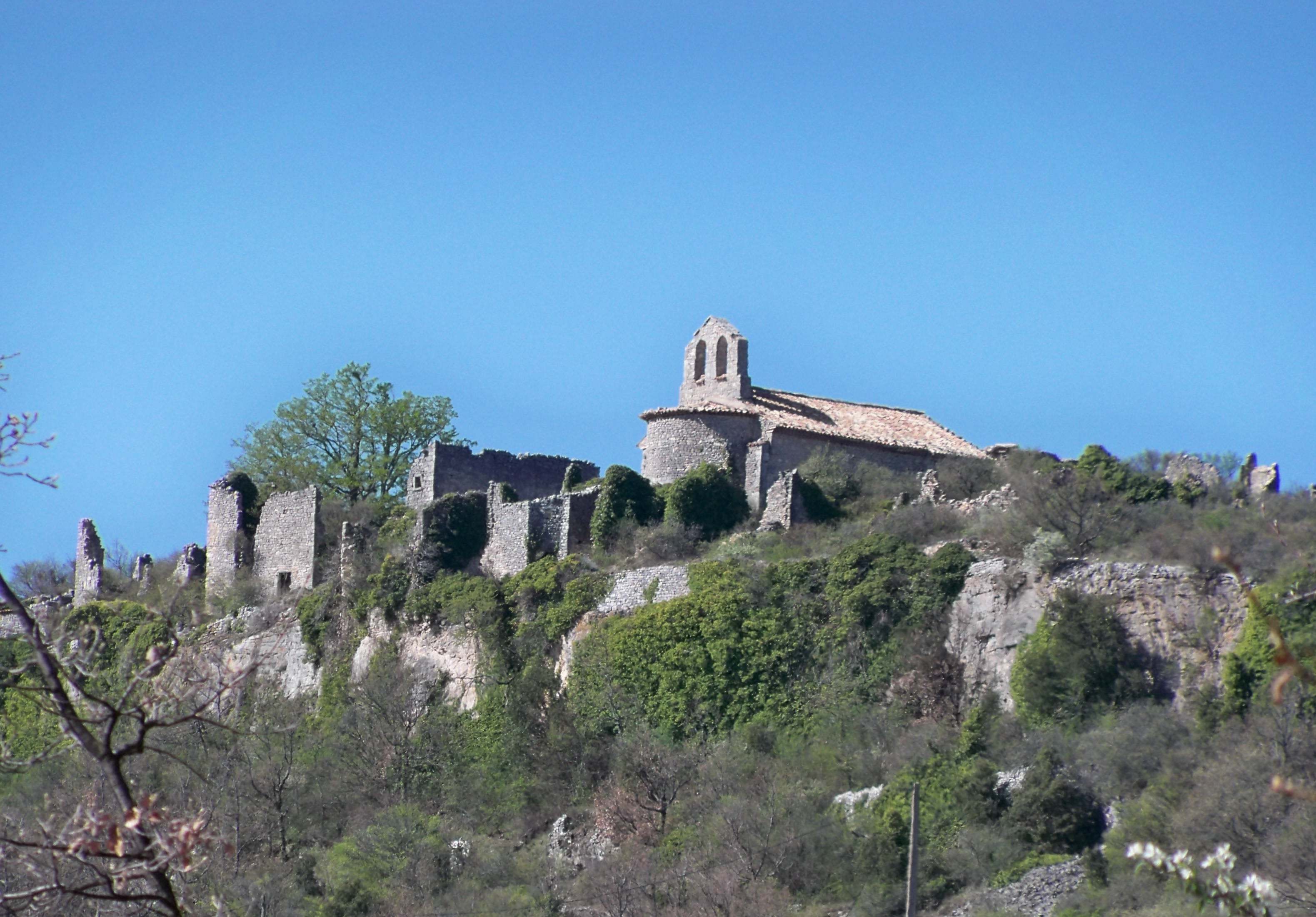
Departing from Banon, this hike leads to Haut Montsalier, a village dismantled in 1908. Expect ruins, Saint-Pierre church and panoramic views. The highest point of the ridge culminates at 912 meters.

Already more than 200,000 users!
Uphill
221m
Highest point
923m
Downhill
221m
Lowest point
761m
Route type
Loop
Download the map on your smartphone to save battery and rest assured to always keep access to the route, even without signal.
Includes IGN France and Swisstopo.
I indicate whether dogs are allowed or prohibited on this trail
All year
1 rating
La piste d'accès n'est pas du tout pittoresque, sauf les 500 derniers mètres. Elle ne présente que peu d'intérêt. En revanche, le vieux village est vraiment remarquable. Pour le retour, nous sommes passés par les moulins et nous avons rejoint Banon par le Défens, avec un très joli sentier qui rejoint la piste de montée au niveau de l'aven.
Also enjoy:

Already more than 200,000 users!