Uphill
272m
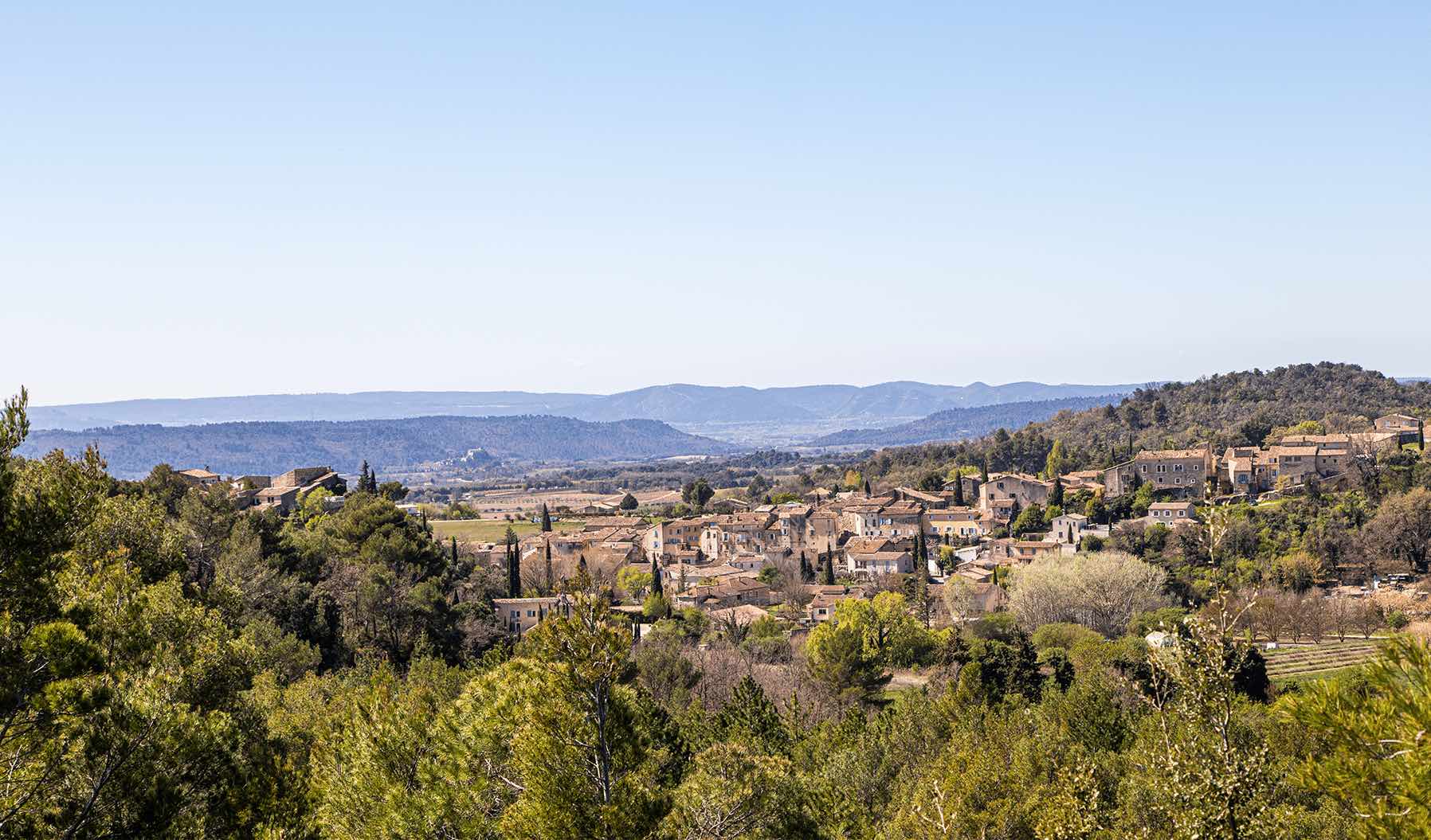
France > Provence-Alpes-Côte d'Azur > Alpes-de-Haute-Provence > Luberon Regional Natural Park
Length
7km
Duration
2h30min
Elev gain
272m
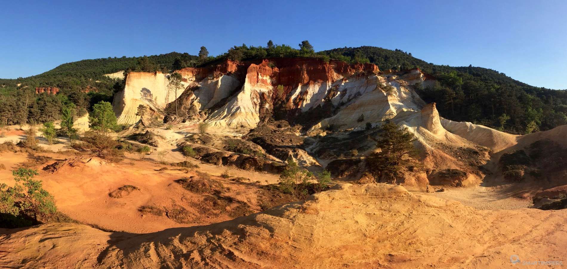
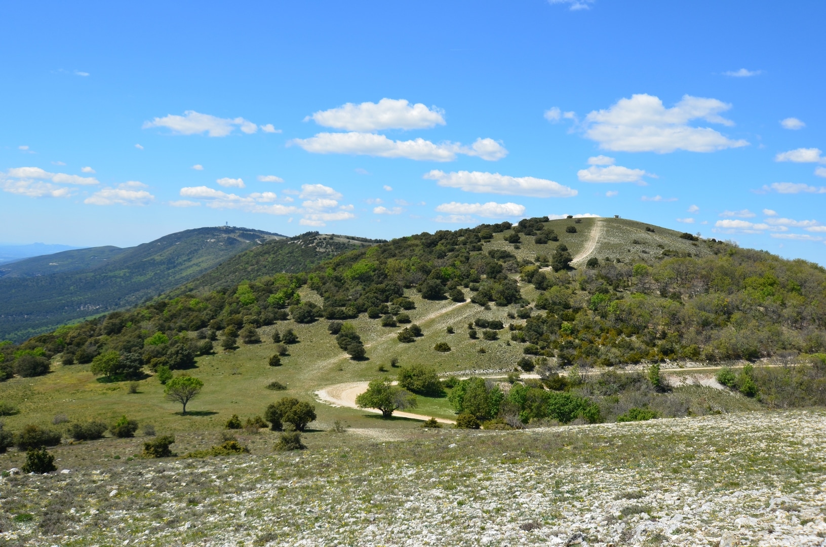
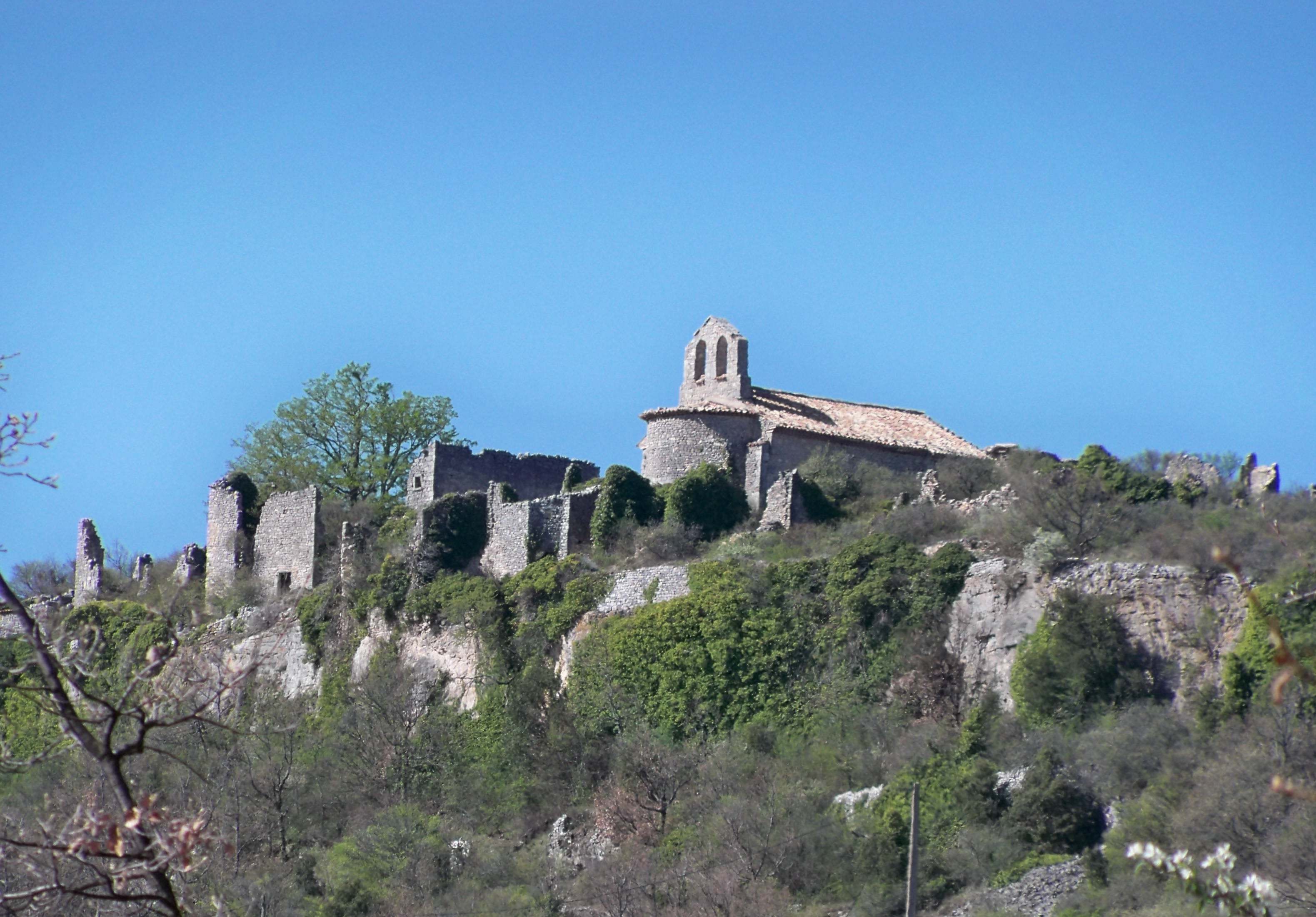
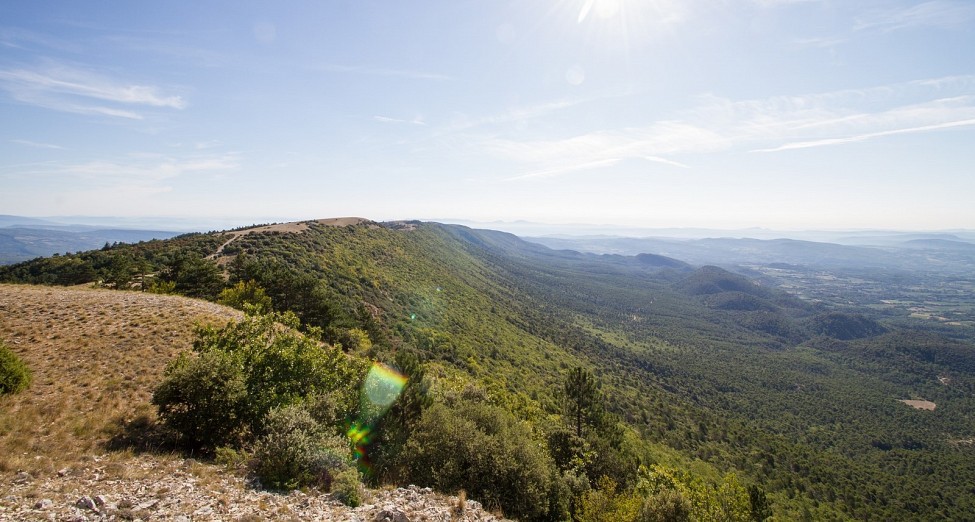
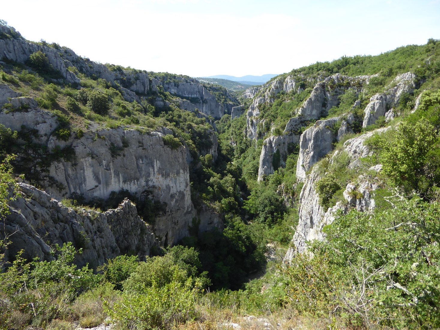
Short but demanding loop, which it is not recommended to undertake with children or animals. Superb natural landscapes in the gorges of Calavon.

Already more than 200,000 users!
Uphill
272m
Highest point
533m
Downhill
272m
Lowest point
415m
Route type
Loop
Download the map on your smartphone to save battery and rest assured to always keep access to the route, even without signal.
Includes IGN France and Swisstopo.
3 ratings
Also enjoy:

Already more than 200,000 users!